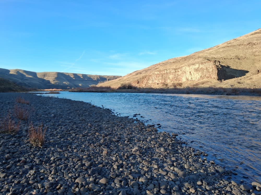
Starvation Lane River Access
Total Miles
11.0
Technical Rating
Best Time
Spring, Summer, Fall, Winter
Trail Type
Full-Width Road
Accessible By
Trail Overview
The Starvation Lane River Access road to the John Day River is a gravel road that winds through wheat fields and sagebrush. The upper section of the gravel road can be anything from smooth to rough, or washboard to puddle-laden, depending on the time of the season. The lower section is a "primitive" gravel road descending down a steep hill to the John Day River.
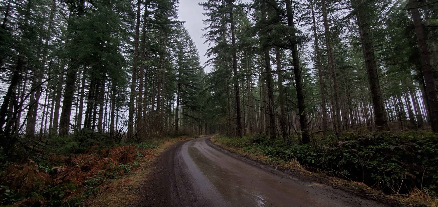
Photos of Starvation Lane River Access

Difficulty
Depending on the time of year, the gravel road can be rough with pockets of washboard sections. It may also have many areas of mud puddles, usually under 12 inches deep. The steep descent down to the river could have a few small to medium-sized rock obstacles that have eroded out of the hillside. The descending section could also be quite slippery in the wetter months.
Starvation Lane River Access can be accessed by the following ride types:
- High-Clearance 4x4
- SUV
- Dirt Bike
Starvation Lane River Access Map
Popular Trails
Abbott Road 4610

#127 (Part 2)
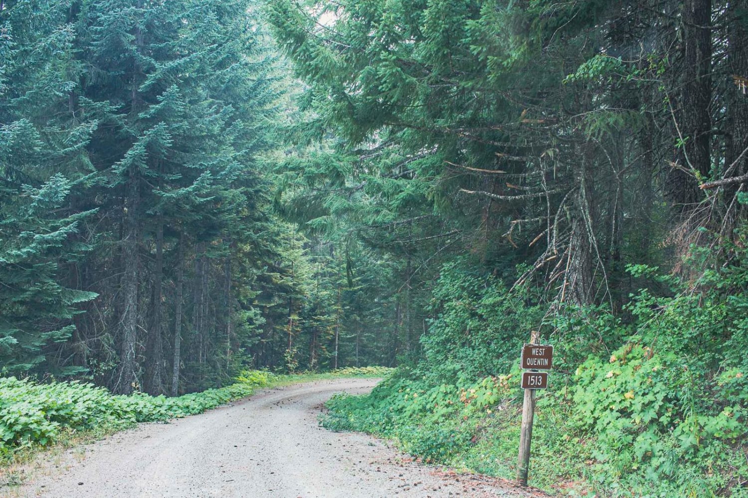
Quentin Creek
Green Point - 2810
The onX Offroad Difference
onX Offroad combines trail photos, descriptions, difficulty ratings, width restrictions, seasonality, and more in a user-friendly interface. Available on all devices, with offline access and full compatibility with CarPlay and Android Auto. Discover what you’re missing today!