Soda Fork - 2041
Total Miles
7.7
Technical Rating
Best Time
Spring, Summer, Fall, Winter
Trail Type
Full-Width Road
Accessible By
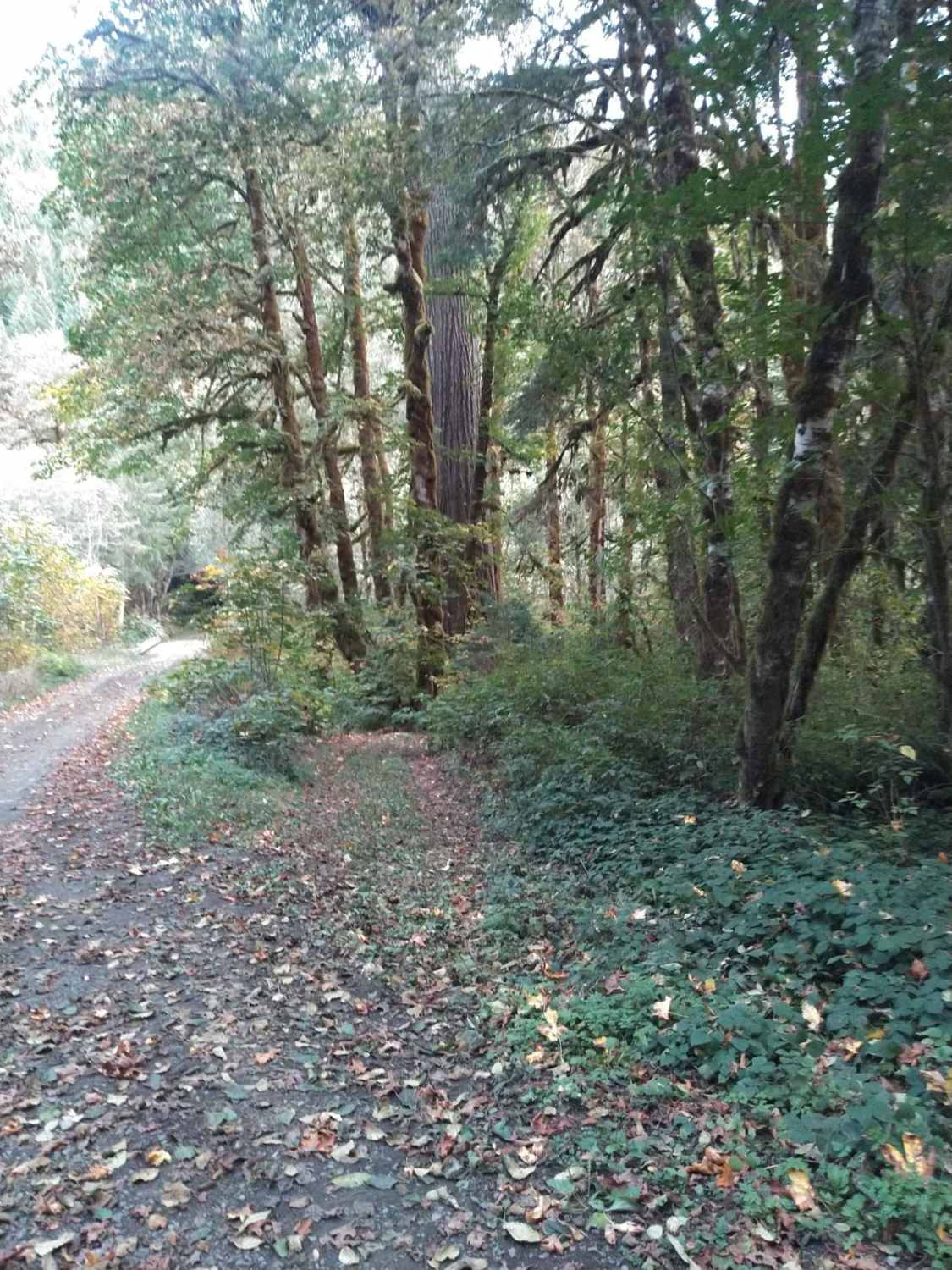
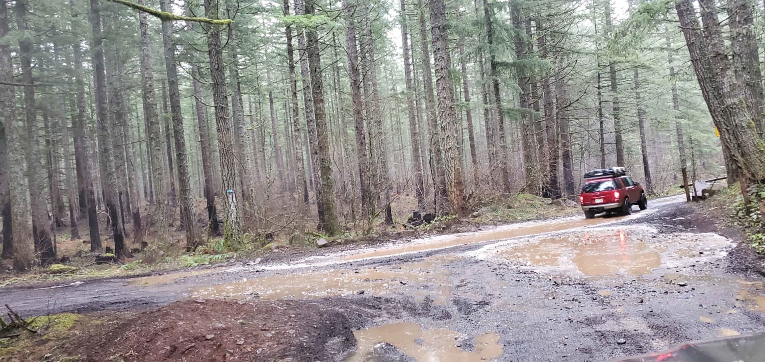
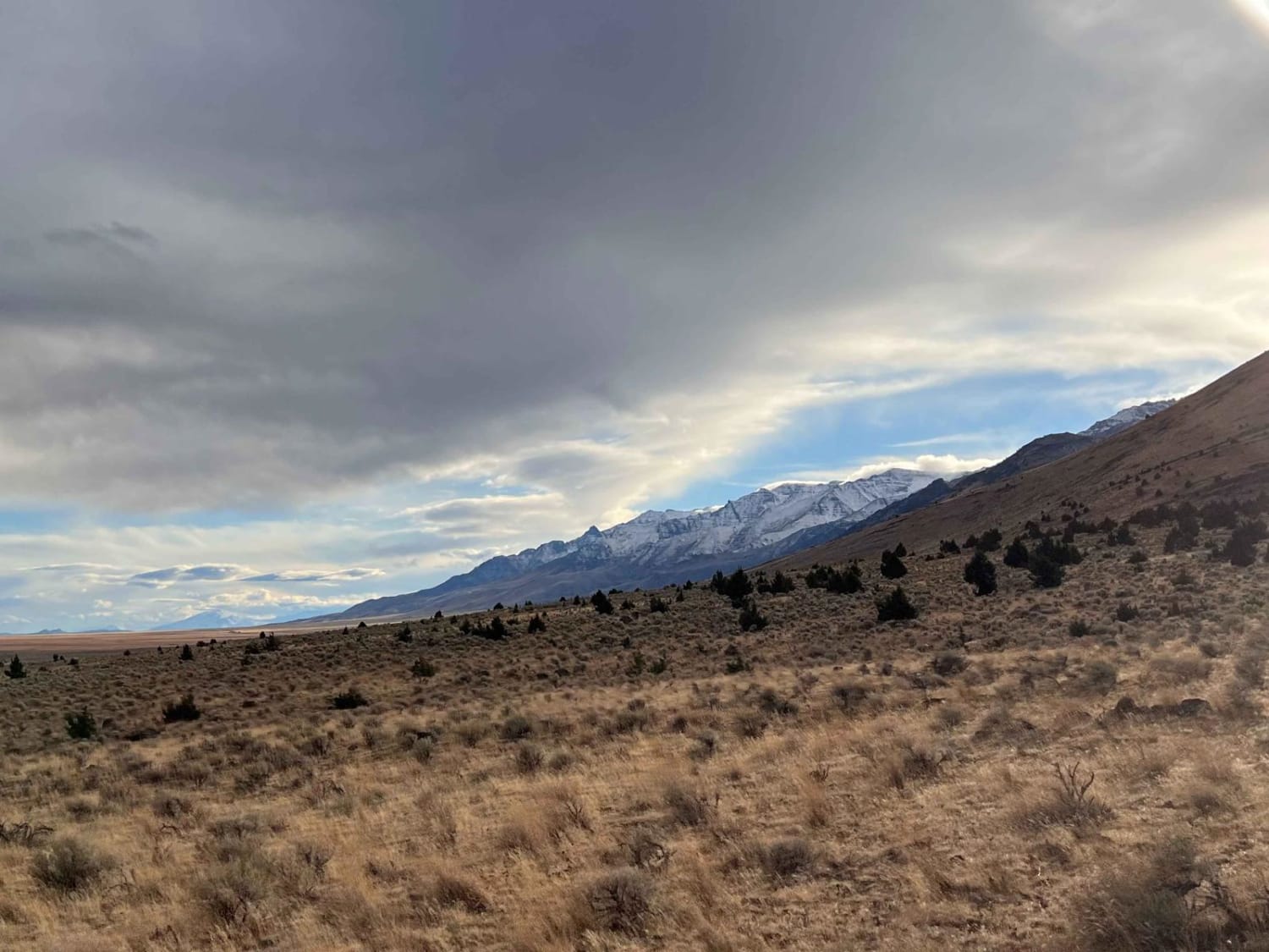
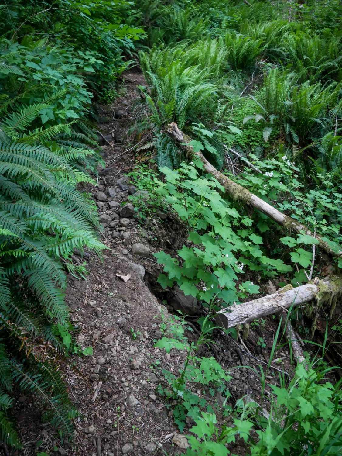
Trail Overview
This is an easy forest service road that connects US Highway 20 to an extensive forest road network. Much of it is wide enough for two vehicles to meet, but parts are single-lane with turnouts. While the road isn't difficult, there are areas where there is a significant drop-off next to the road and no guard rail or barrier of any sort. There's an intersection not quite a mile in that becomes the FS 2043 road, and that is listed and described separately.
Photos of Soda Fork - 2041

Difficulty
Rockfall is common in a couple of areas. There are also several areas with significant unguarded drop-offs to the side of the road. Those are more of a factor when the road is snowy.
Soda Fork - 2041 can be accessed by the following ride types:
- High-Clearance 4x4
- SUV
- SxS (60")
- ATV (50")
- Dirt Bike
Soda Fork - 2041 Map
Popular Trails

Fire Road 2
Thoughtful Lunch Trail
Mann Lake North Gate
Maddogs Pumpkin Patch #38 (Difficult)
The onX Offroad Difference
onX Offroad combines trail photos, descriptions, difficulty ratings, width restrictions, seasonality, and more in a user-friendly interface. Available on all devices, with offline access and full compatibility with CarPlay and Android Auto. Discover what you’re missing today!