Arkansas Crossing NFS SEOK
Total Miles
11.0
Technical Rating
Best Time
Spring, Summer, Fall, Winter
Trail Type
Full-Width Road
Accessible By
Trail Overview
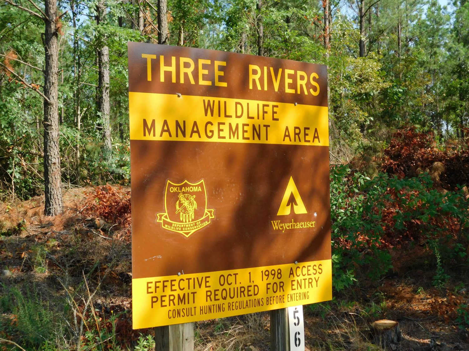
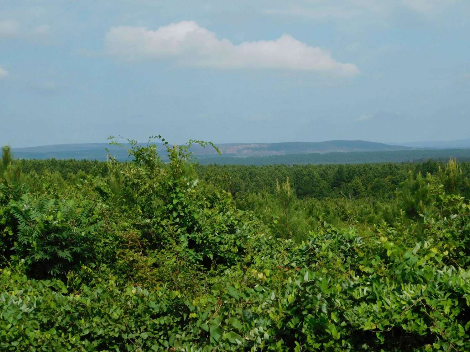
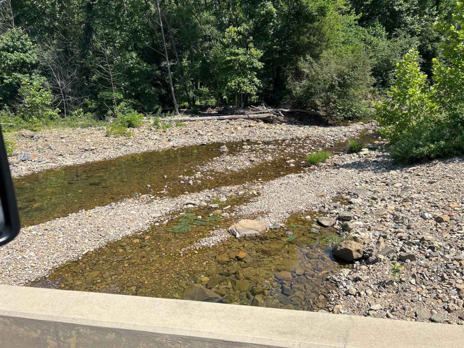
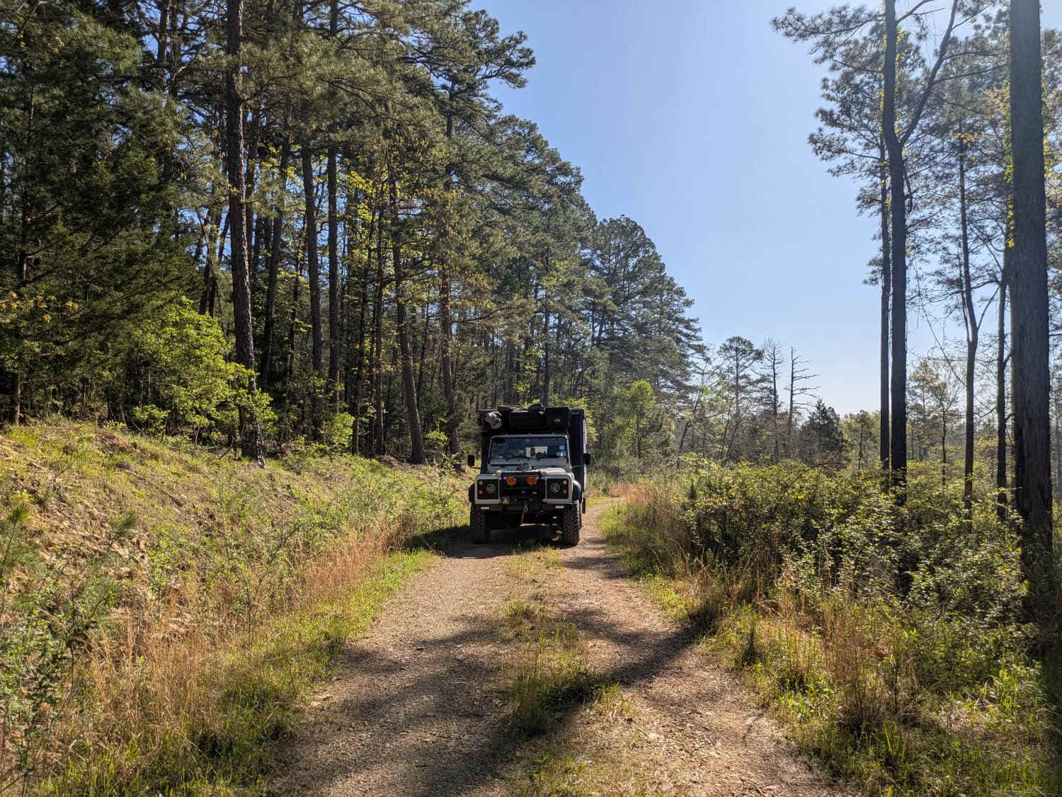
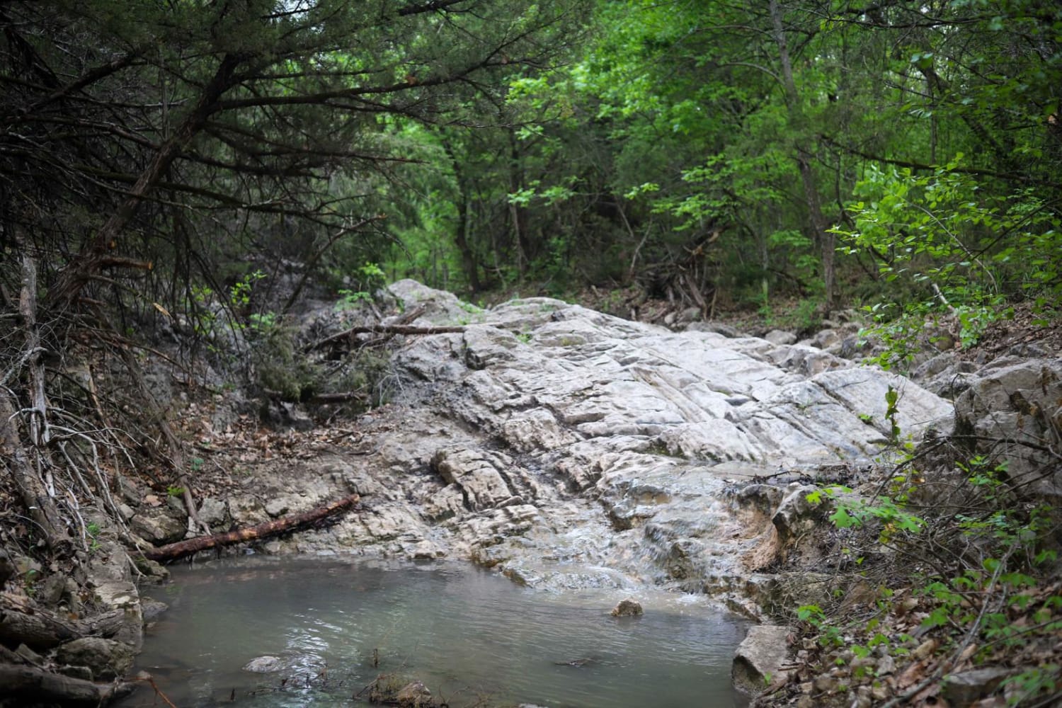
This is a trail located in Northern McCurtain County in Oklahoma. This trail is mostly a level 1-2 Trail, except for the water crossing on the Glover River which will require a high clearance vehicle and may be uncrossable if there is high water. There are no markings to gauge water level. The trail has beautiful vistas from hilltop that show the surrounding terrain, rolling hills and scenic Hilltops. The river crossing is on the Glover River which is the only river in southeast Oklahoma to not have a dam and lake. It is a beautiful river complex gathering several small creeks as it flows south becoming a larger flowing river in this part of the National Forest Service land. The trail starts out on Highway 259 with a dirt road, it passed through some private, but passable land and lots of pine plantations only to end in the Quachita NFS land as you near the Glover River. This road begins in a gravel, well kept road, eventually gets intermittent with wash outs and rocks, the river crossing is mostly river rocks of various sizes. There are clearings for camping but they are in no way developed, just small sites used by locals for fishing and swimming access as well.
Photos of Arkansas Crossing NFS SEOK
Difficulty
The trail itself is not that difficult, but the water crossing should be considered a four during the low rain part of the year. If water level is up, this would be a treacherous crossing.
History
This crossing is historically significant and was used as far back with wagons and early logging crossings for the River, connecting two areas of Northern McCurtain County.
Status Reports
Arkansas Crossing NFS SEOK can be accessed by the following ride types:
- High-Clearance 4x4
- SUV
- SxS (60")
- ATV (50")
- Dirt Bike
Arkansas Crossing NFS SEOK Map
Popular Trails
Wall's Way

Switch Back
The onX Offroad Difference
onX Offroad combines trail photos, descriptions, difficulty ratings, width restrictions, seasonality, and more in a user-friendly interface. Available on all devices, with offline access and full compatibility with CarPlay and Android Auto. Discover what you’re missing today!
