Hidden Camp Trail
Total Miles
1.1
Technical Rating
Best Time
Spring, Summer, Fall, Winter
Trail Type
Full-Width Road
Accessible By
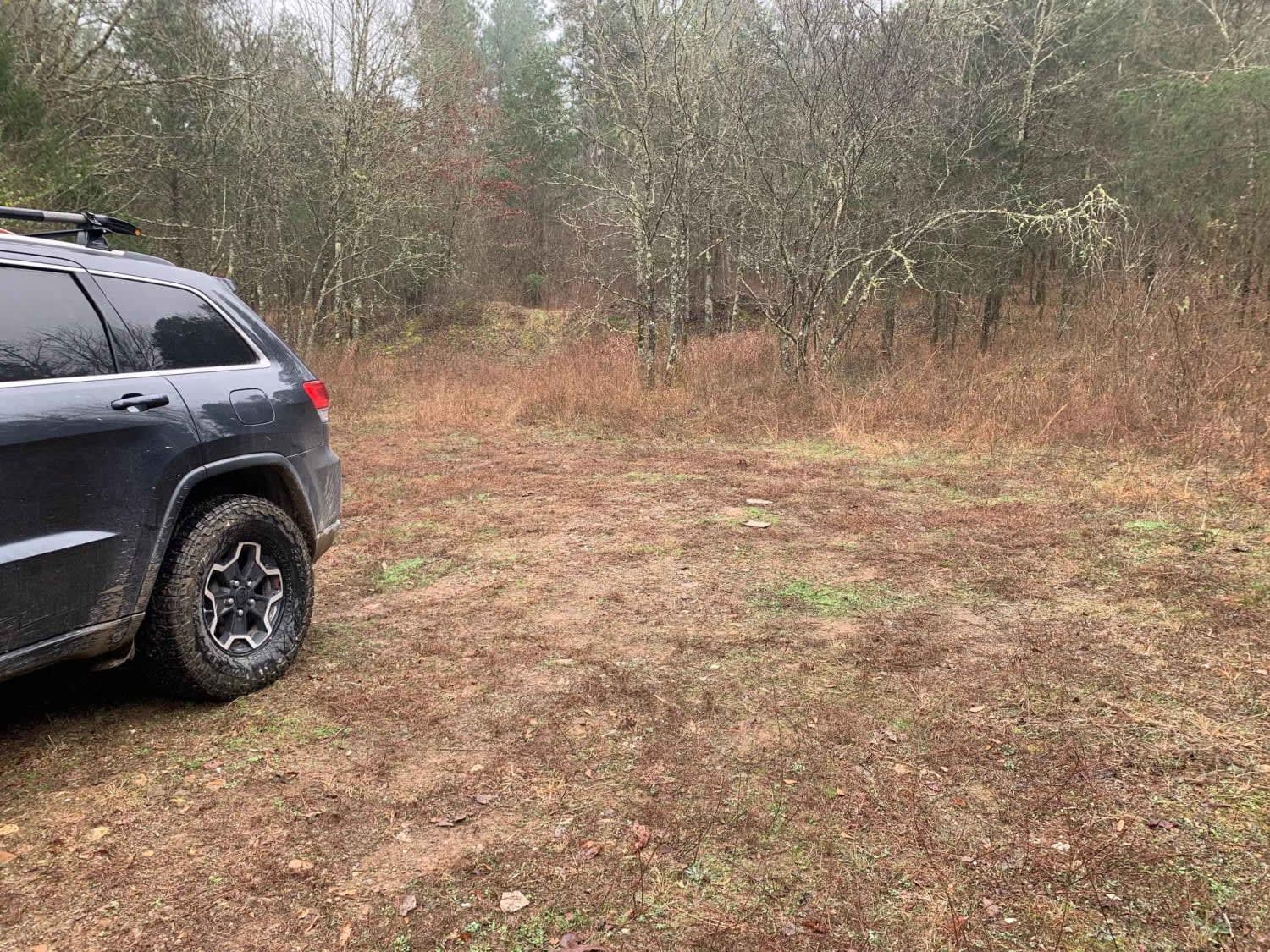
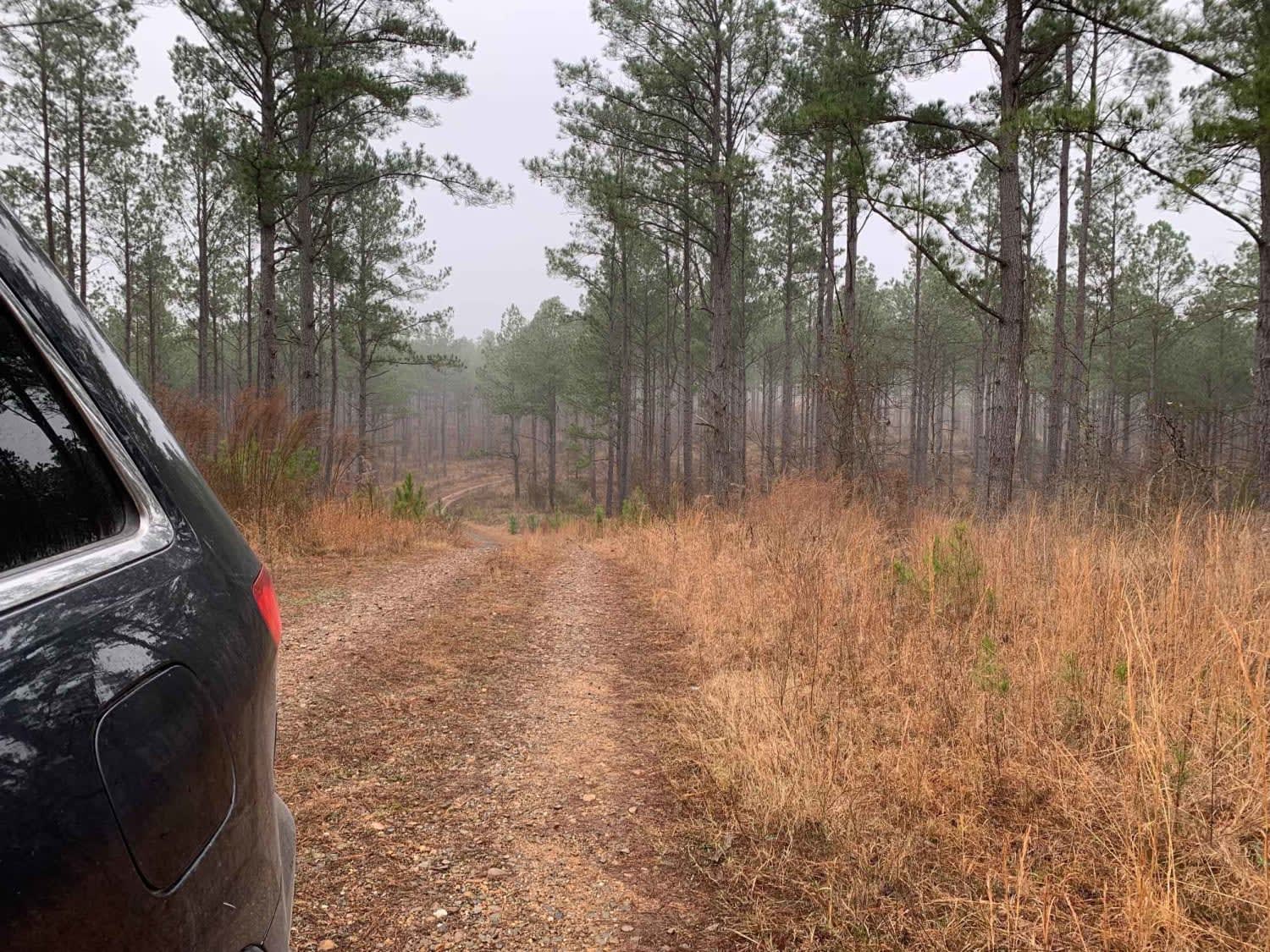
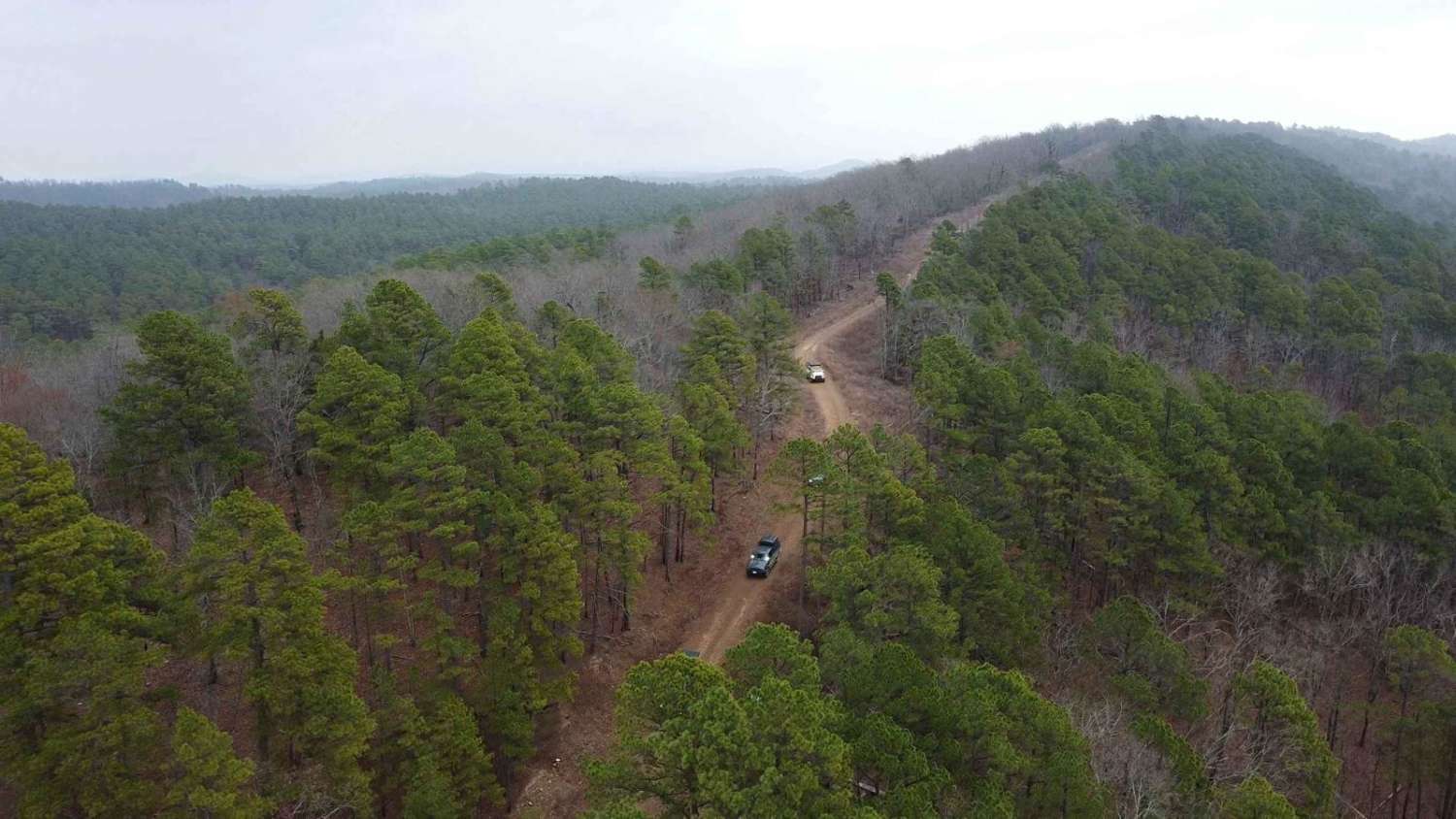
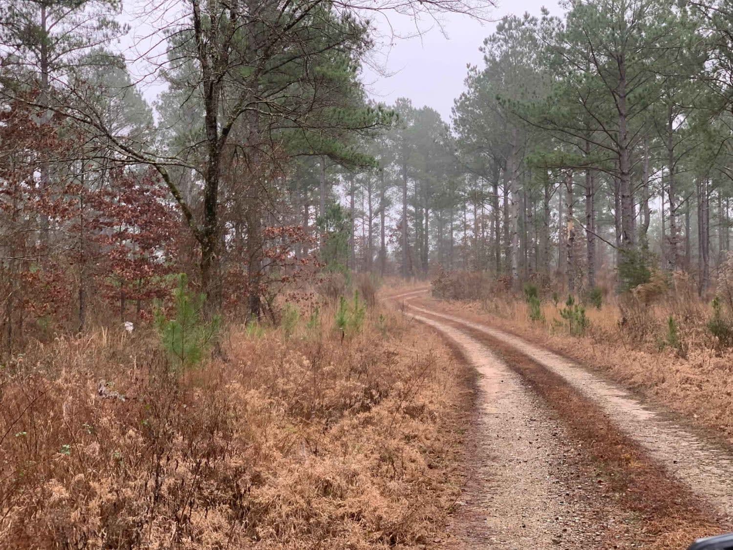
Trail Overview
This trail takes you down to several areas where you can camp and hike to Presbyterian Falls on the Mountain Fork River. The trail does not have many hazards till you reach the end. The end is tight with a small water crossing and a muddy portion. The ending campsite is secluded in the trees near the river.
Photos of Hidden Camp Trail
Difficulty
Easy trail from start to almost the end. The end of the trail has both mud and a water feature that can pose difficult under the right conditions. During periods of heavy rainfall proceed with caution over the mud and water features as these are deceptively deep.
Status Reports
Hidden Camp Trail can be accessed by the following ride types:
- High-Clearance 4x4
- SUV
- SxS (60")
- ATV (50")
- Dirt Bike
Hidden Camp Trail Map
Popular Trails

Lenox Ridge Road
Holly Mountain Trail
50240 - Tree Valley Trail
The onX Offroad Difference
onX Offroad combines trail photos, descriptions, difficulty ratings, width restrictions, seasonality, and more in a user-friendly interface. Available on all devices, with offline access and full compatibility with CarPlay and Android Auto. Discover what you’re missing today!