24200
Total Miles
1.9
Technical Rating
Best Time
Spring, Summer, Fall, Winter
Trail Type
Full-Width Road
Accessible By
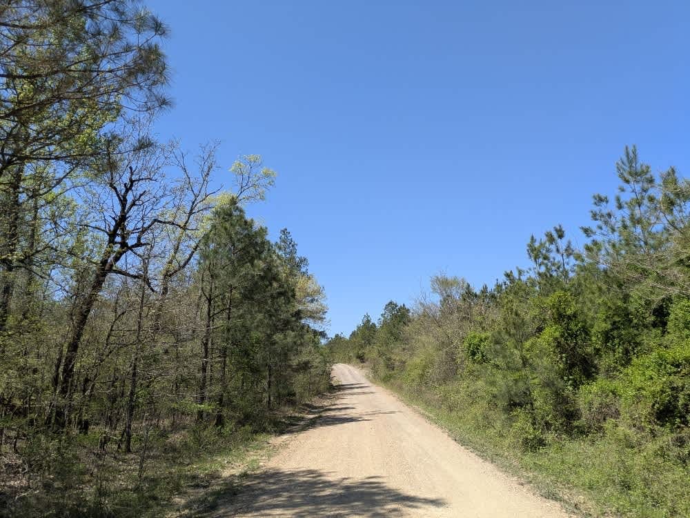
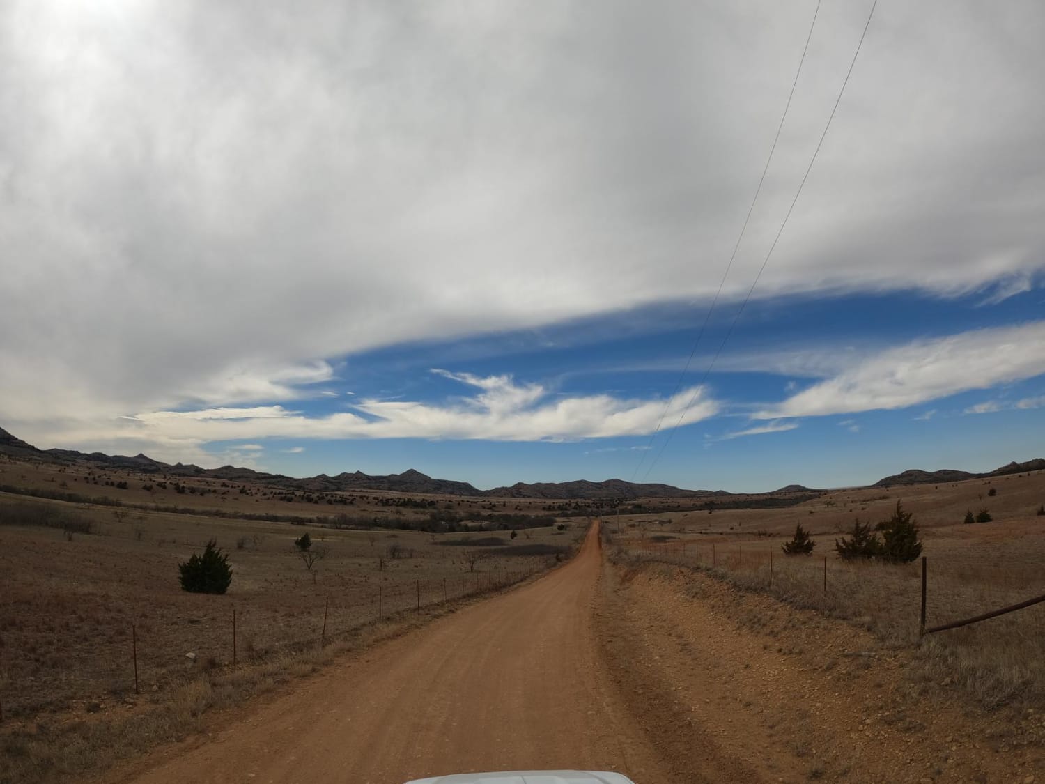
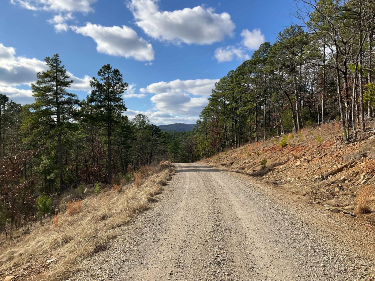
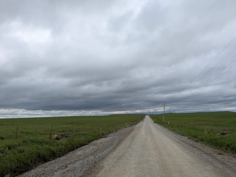
Trail Overview
This trail follows a well-maintained gravel logging road that winds through active timber-cutting areas. The route is dusty, particularly in dry conditions, and drivers should remain alert for fast-moving logging trucks that may appear without warning. Although the logging crews are typically courteous, it is important to yield the right of way, as they are working while others are recreating. The road does not provide any dispersed camping opportunities and lacks essential amenities such as trash disposal and a water source. Cell service is limited along much of the route, reinforcing its remote and utilitarian nature.
Photos of 24200

Difficulty
This is a maintained logging trail that is great for all skill levels.
History
The Ouachita National Forest, stretches across western Arkansas and southeastern Oklahoma and is the oldest national forest in the southern United States and spans over 1.8 million acres. Known for the unique east-to-west orientation of the Ouachita Mountains, the forest features diverse terrain, dense woodlands, and sweeping vistas.
Status Reports
24200 can be accessed by the following ride types:
- High-Clearance 4x4
- SUV
- SxS (60")
- ATV (50")
- Dirt Bike
24200 Map
Popular Trails
Wichita Mountians OAT Trail

Tableville Road
West Kelly (A45)
The onX Offroad Difference
onX Offroad combines trail photos, descriptions, difficulty ratings, width restrictions, seasonality, and more in a user-friendly interface. Available on all devices, with offline access and full compatibility with CarPlay and Android Auto. Discover what you’re missing today!