Trail 9 - 50 Inch
Total Miles
3.6
Technical Rating
Best Time
Spring, Fall, Summer
Trail Type
50" Trail
Accessible By
Trail Overview
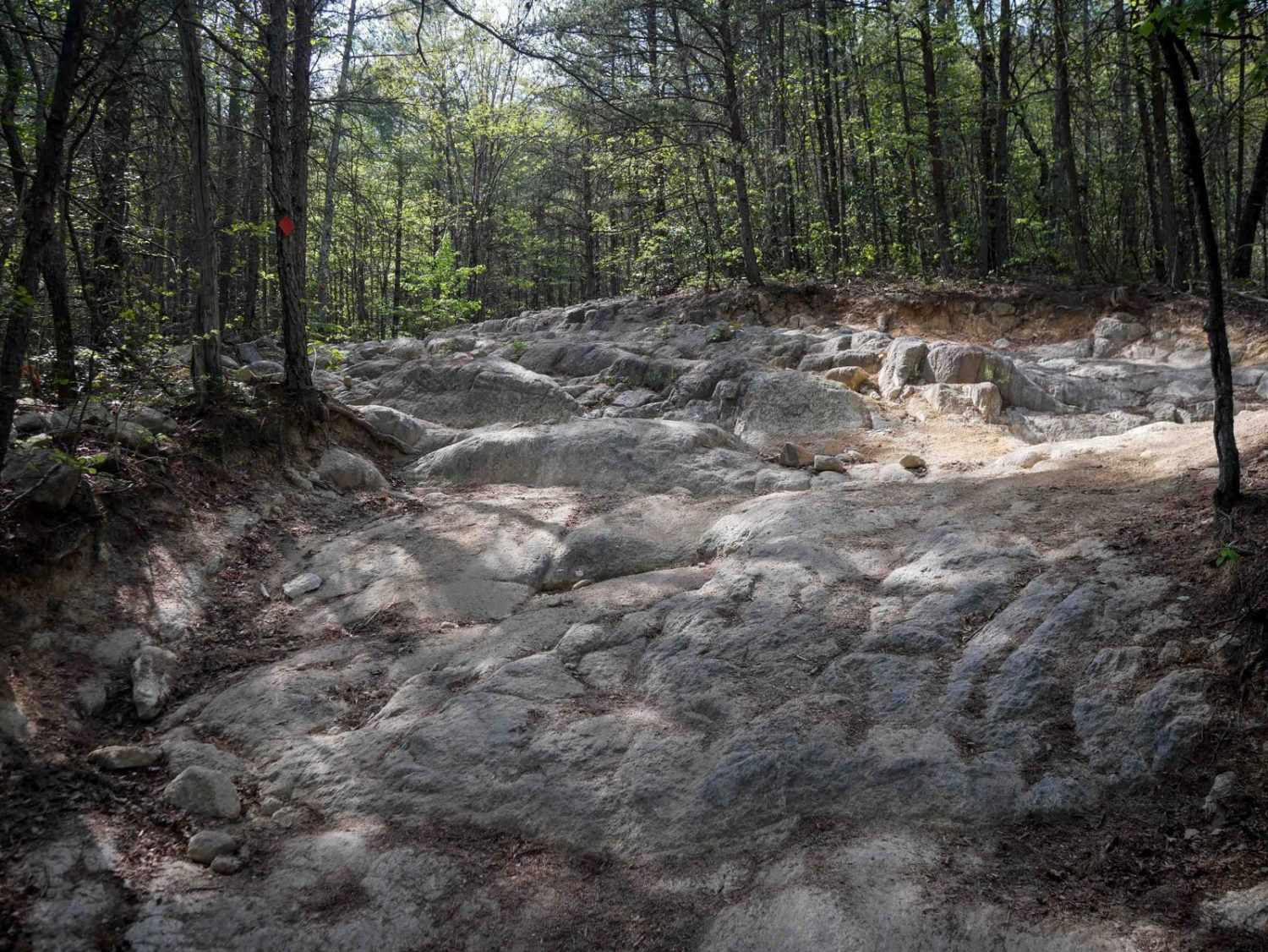
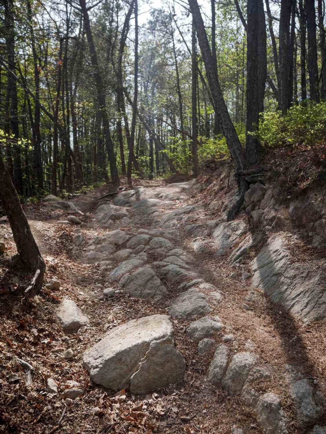
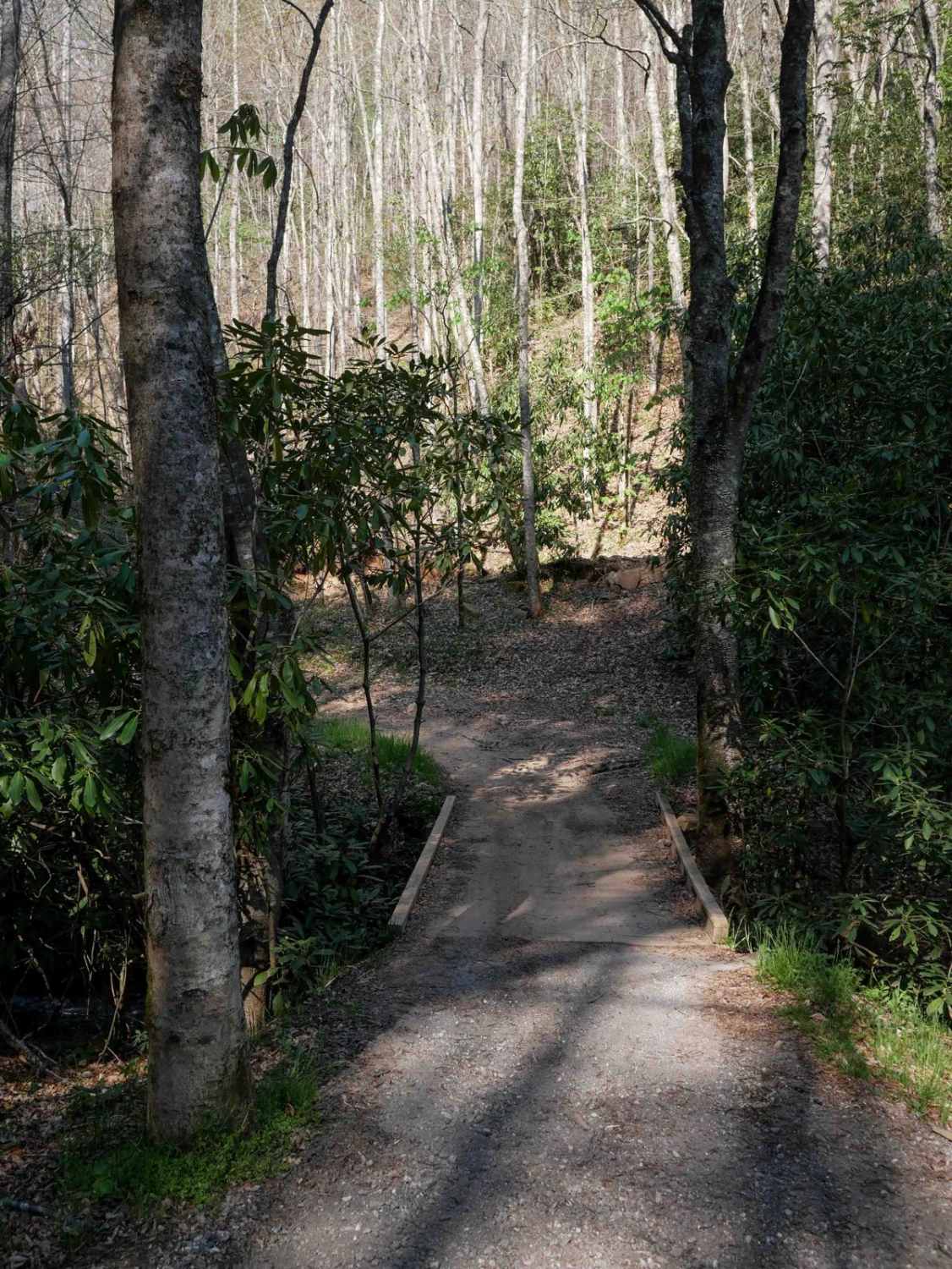
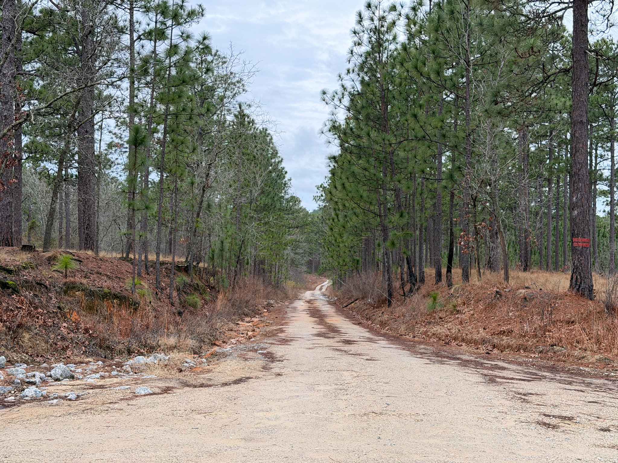
The southern portion of Trail 9 is designated for vehicles 50" or less, and is of extreme difficulty. This trail is directional north to south and should not be ridden in the uphill direction. The north end starts off easy with flat embedded rock layers, but it quickly ramps up intensity with a technical descent made of uneven rock layers, ruts, and shelves for the entire way back to the staging area. It zig zags down the mountainside with steep rocky switchbacks, often with off-camber rock layers in the turns. There is an extreme rock section about halfway through that goes back uphill, which is a 100-foot-long section of uneven rock outcropping that riders will have to navigate through, picking their best line choice. It has uneven gaps between the layers of rocks, and shelves up to a couple feet tall. There are several more steep technical ascents with rutted embedded rock layers and boulders. The obstacles don't let up - the entire descent is full of embedded rock shelves. Loose rocks lead into a small rocky stream crossing, and watch out for low hanging branches that you have to duck for.
Photos of Trail 9 - 50 Inch
Difficulty
This is an extremely difficult ATV trail that is for advanced riders only, as there are technical rock obstacles throughout the entire route.
Status Reports
Trail 9 - 50 Inch can be accessed by the following ride types:
- ATV (50")
- Dirt Bike
Trail 9 - 50 Inch Map
Popular Trails

Wolf Laurel - 81F
Hemlock Ridge Trail 7
School House Ridge - FS 4068
Scotland Lane
The onX Offroad Difference
onX Offroad combines trail photos, descriptions, difficulty ratings, width restrictions, seasonality, and more in a user-friendly interface. Available on all devices, with offline access and full compatibility with CarPlay and Android Auto. Discover what you’re missing today!