Zinker Canyon Trail
Total Miles
4.5
Technical Rating
Best Time
Spring, Fall, Summer
Trail Type
Single Track
Accessible By
Trail Overview
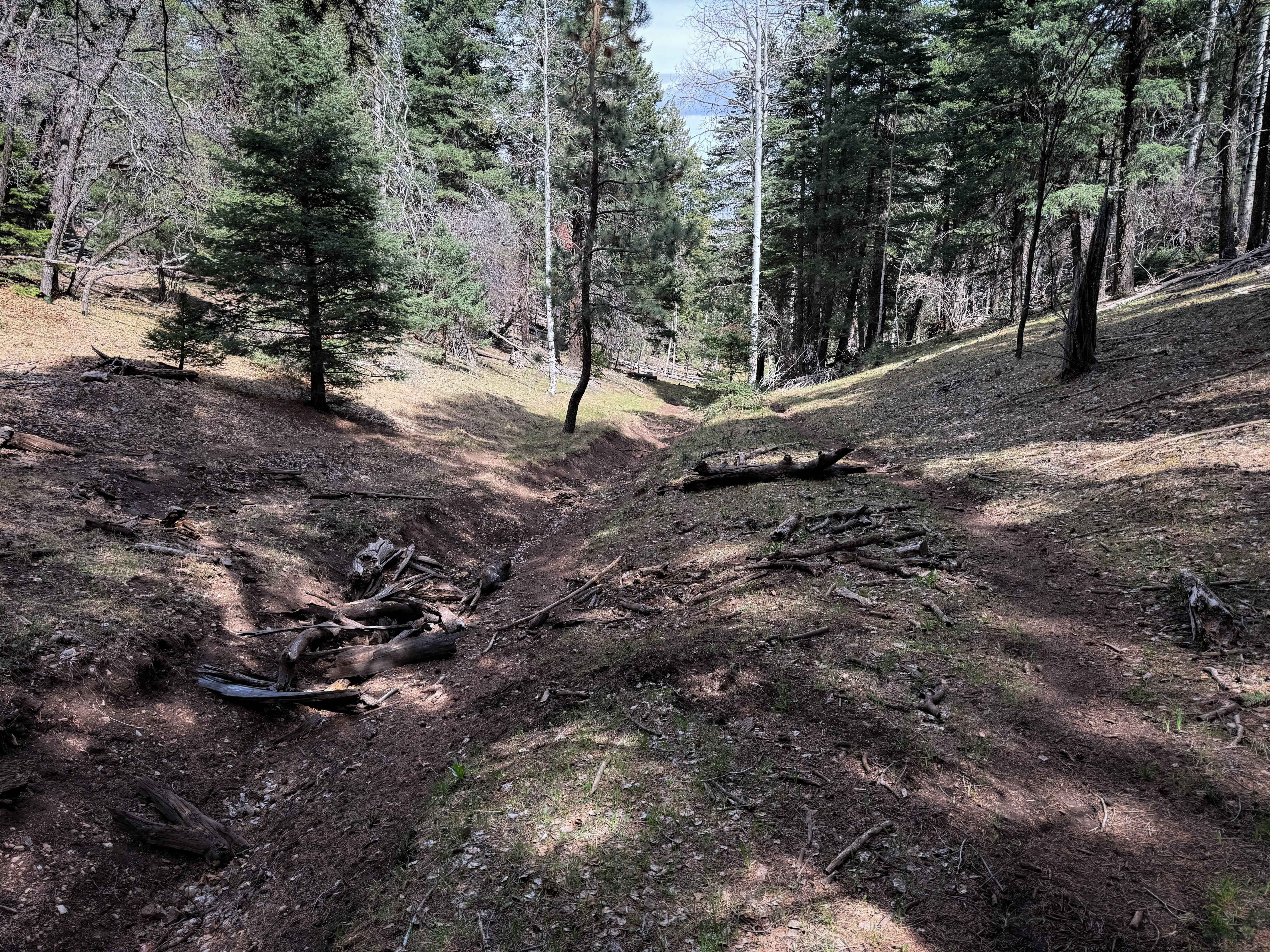
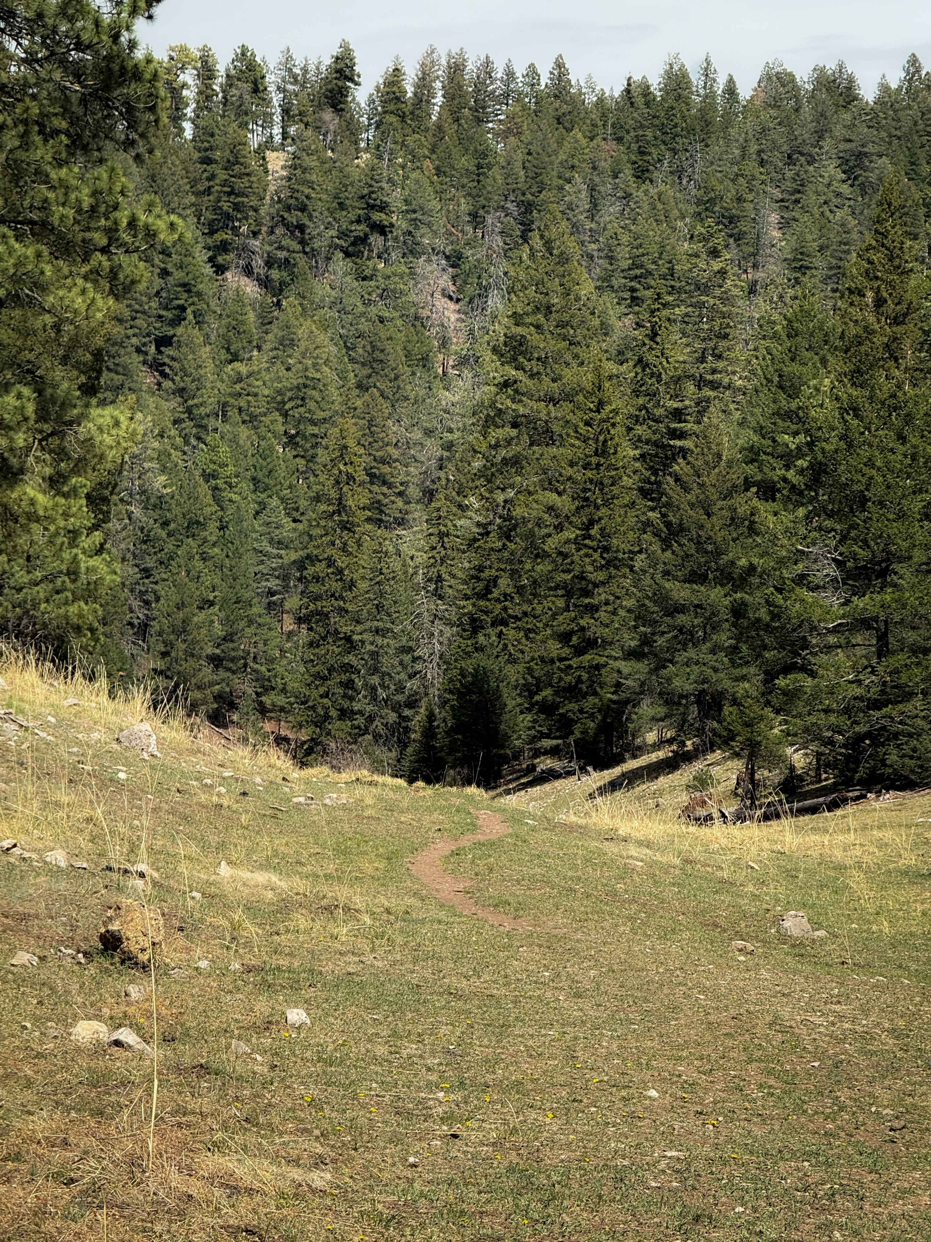
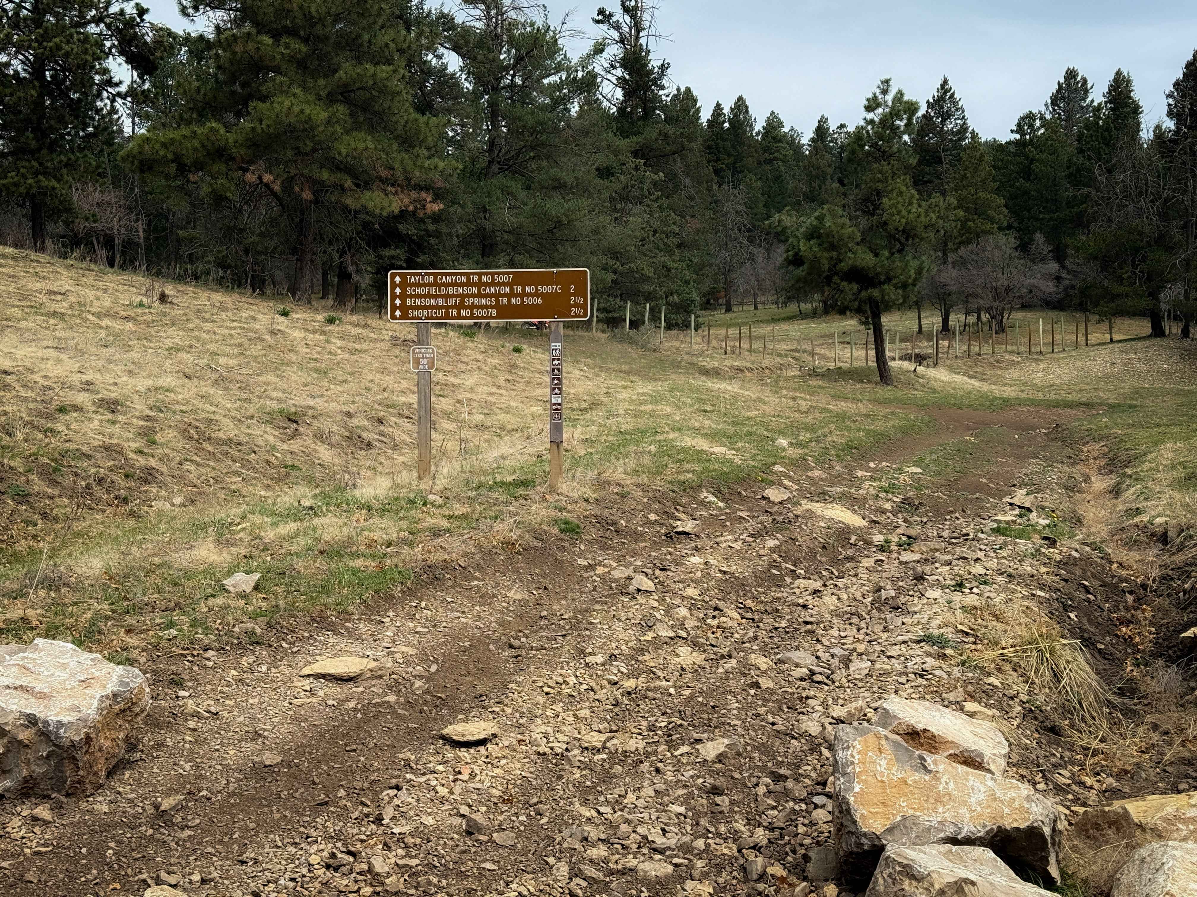
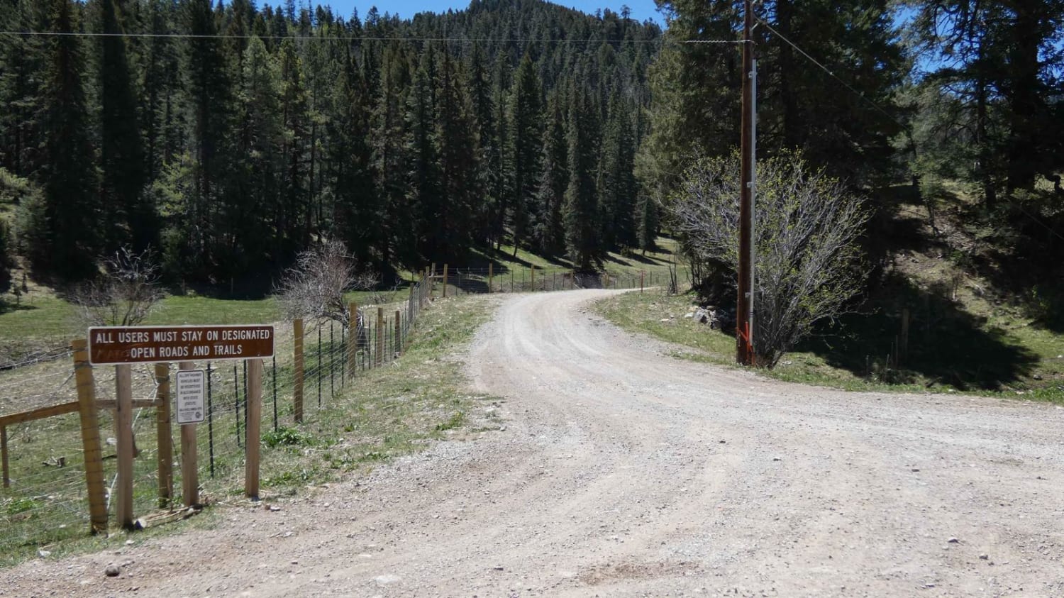
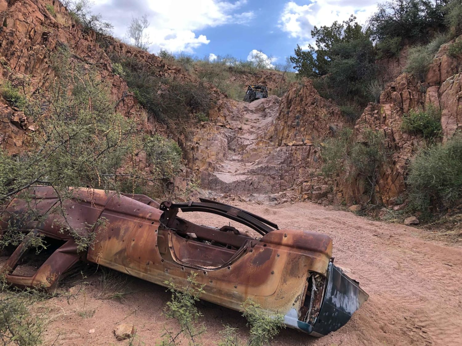
Zinker Canyon starts out as a wide and flat trail next to a cell tower. It rides over the forest floor full of ponderosa pines and white fir, with a bit of loose and embedded rock in the trail, but a generally smooth surface. The trail is 2.3 miles long and is mostly a gradual descent from west to east. It is mostly easy to follow, but part of it is more overgrown with grass and faint, so it's helpful to have offline maps. Part of the trail is rutted, with debris from downed logs. Most of the route looks like a single track through the grass, but other times it widens up to look more like a two-track. There were several logs down that were already cut, but a couple that hadn't been cleared for the season yet. This area looks trafficked, where downed logs will likely get cut. The trail traverses the hillside next to scenic grassy pastures and dead ends in a meadow, so you have to ride it as an out-and-back.
Photos of Zinker Canyon Trail
Difficulty
This is an easy dirt bike trail because it remains wide, smooth, and obstacle-free. Expect minor rock and ruts, but overall, it is very approachable for newer or younger riders.
Status Reports
Zinker Canyon Trail can be accessed by the following ride types:
- Dirt Bike
Zinker Canyon Trail Map
Popular Trails
Tank Tour
Taylor Canyon - FS 5007
The onX Offroad Difference
onX Offroad combines trail photos, descriptions, difficulty ratings, width restrictions, seasonality, and more in a user-friendly interface. Available on all devices, with offline access and full compatibility with CarPlay and Android Auto. Discover what you’re missing today!