Wildcat Run
Total Miles
9.9
Technical Rating
Best Time
Spring, Summer, Fall, Winter
Trail Type
Full-Width Road
Accessible By
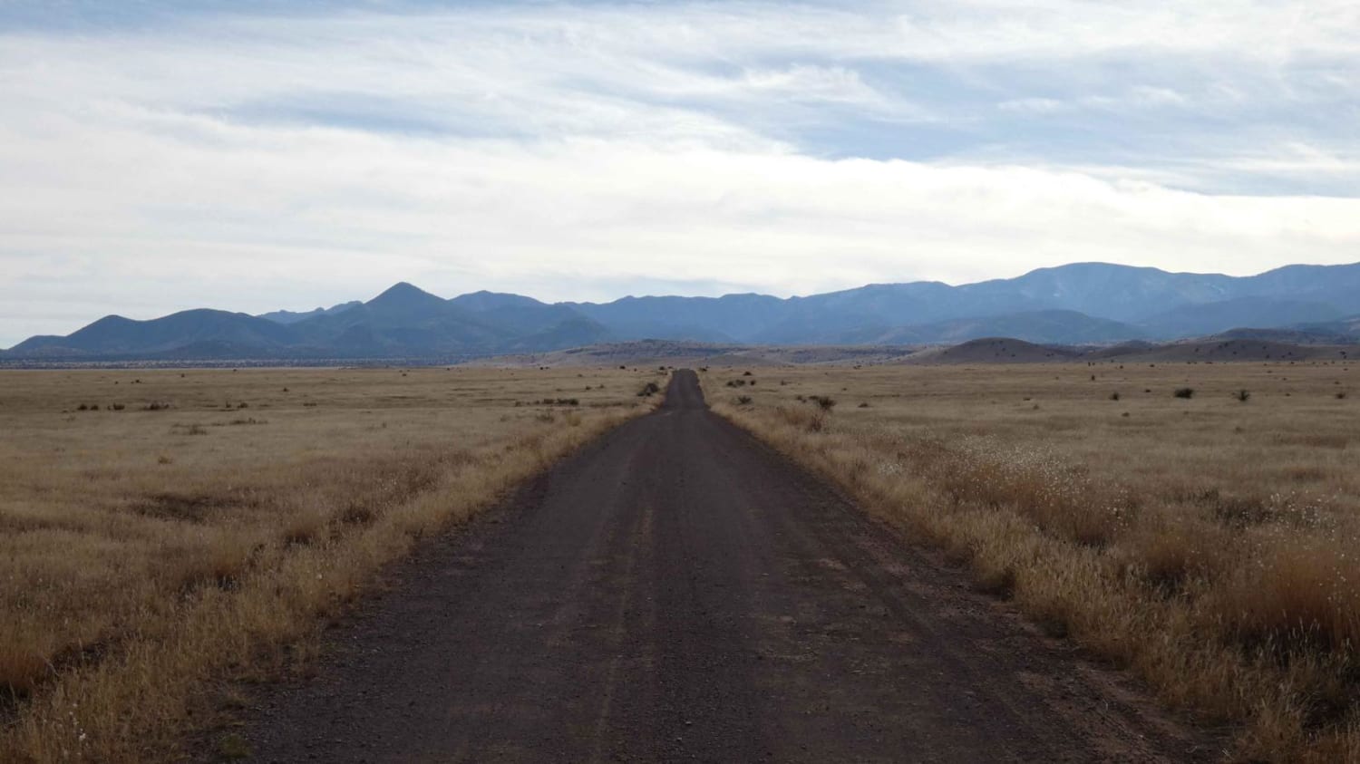
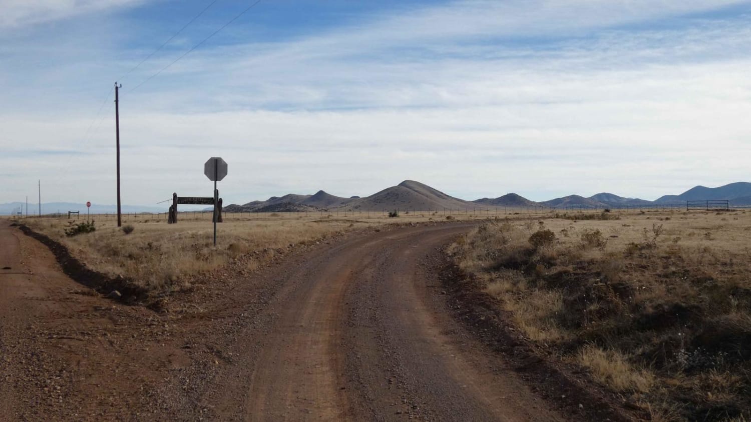
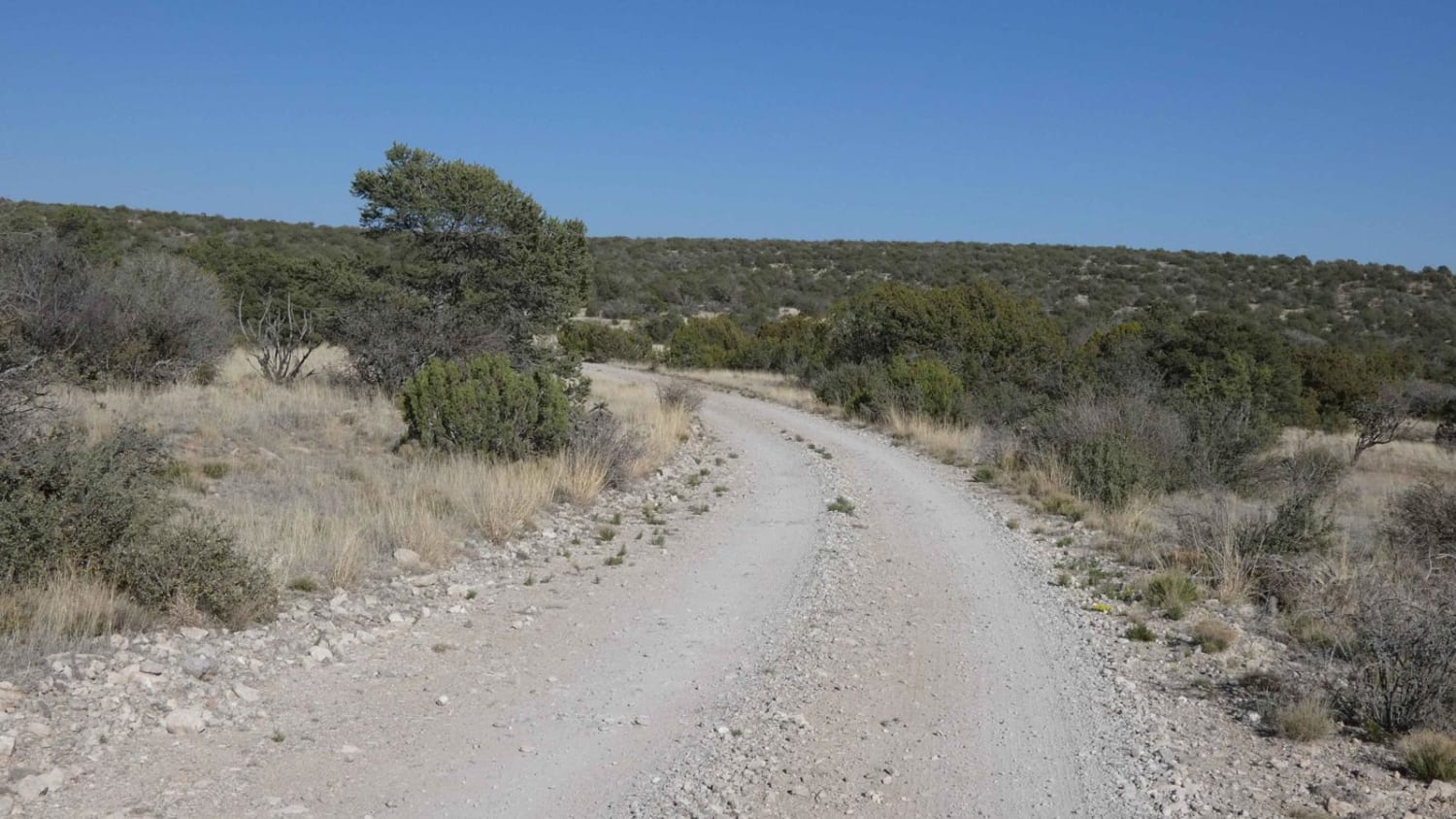
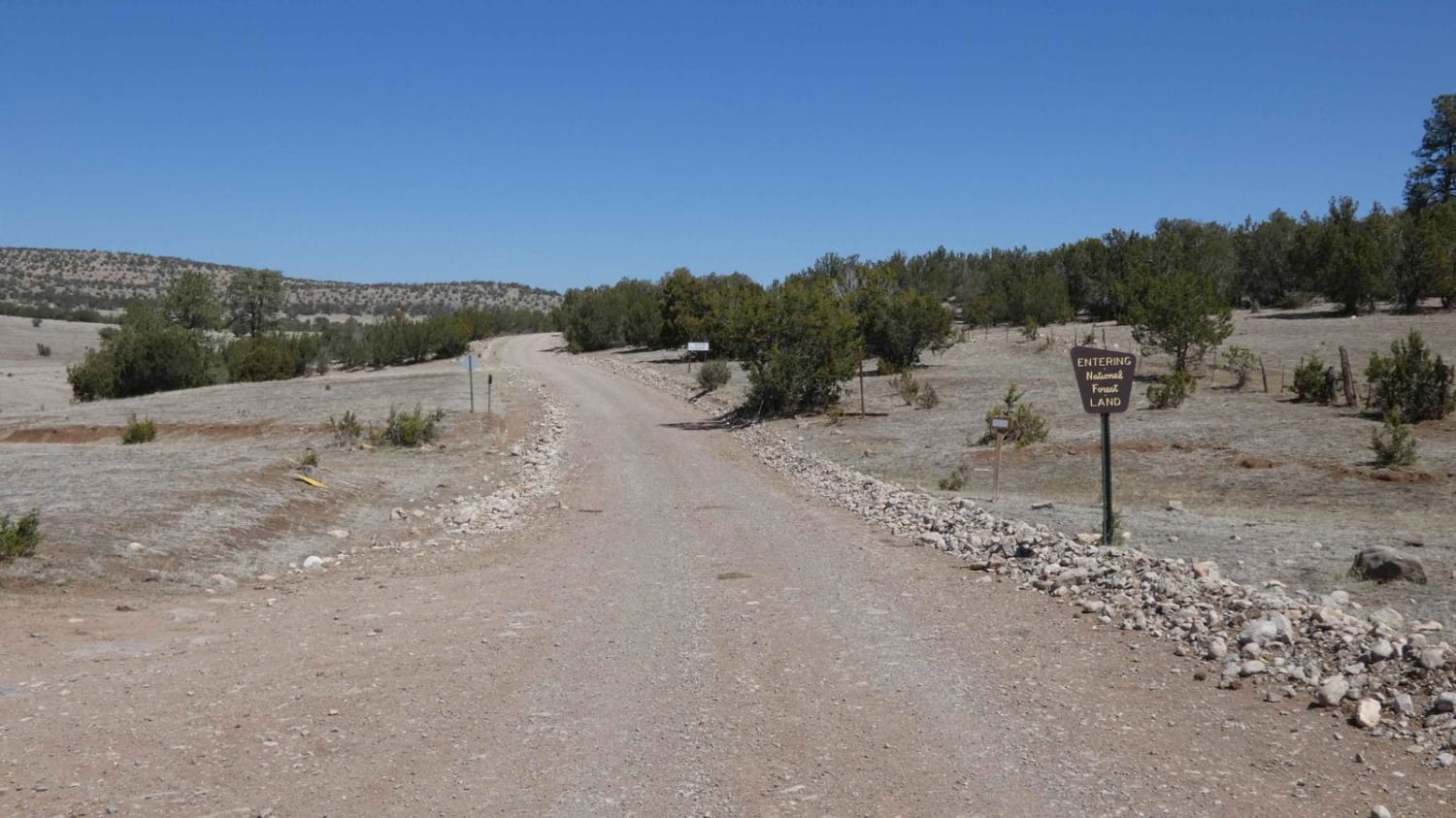
Trail Overview
Wildcat Run is a combination of FSR-378 and FSR-378A that runs deeper into the foothills of the mountains to the west as it passes by Wildcat Peak to the north. The track begins as a well-maintained road that is wide enough for 2 vehicles and narrows to single vehicle wide with room to pass as it progresses. The surface is primarily dirt early on the track and later becomes more diverse, featuring loose rocks, ruts, rock gardens, and a couple of sand washes before returning to a smoother dirt surface towards the end. Obstacles are all under 10 inches and the trail should be easily completed by most high-clearance AWD and 4x4 vehicles. The trail is on private land for the first 3.7 miles before entering the Forest Service land, where dispersed camping is permitted for the remaining length of the trail. Views are diverse and give great perspectives all the way around from start to finish. This is an out-and-back trail that ends at an old windmill and stock tank. Maps do show a spur that runs north at the end of the trail, however, the track is not visible due to extremely heavy grass and tree overgrowth. Cell service is very weak with a majority of the trail having no service.
Photos of Wildcat Run
Difficulty
While there are no obstacles larger than 10 inches along the trail, there are several sections with loose rocky surfaces, small rock gardens, and small sandy washes. Washes do show signs of water flow and will have the potential to become shallow crossings after heavy rains. Minor rutting is present on a few of the smaller grades and flat sections of the trail.
Status Reports
Wildcat Run can be accessed by the following ride types:
- High-Clearance 4x4
- SUV
- SxS (60")
- ATV (50")
- Dirt Bike
Wildcat Run Map
Popular Trails
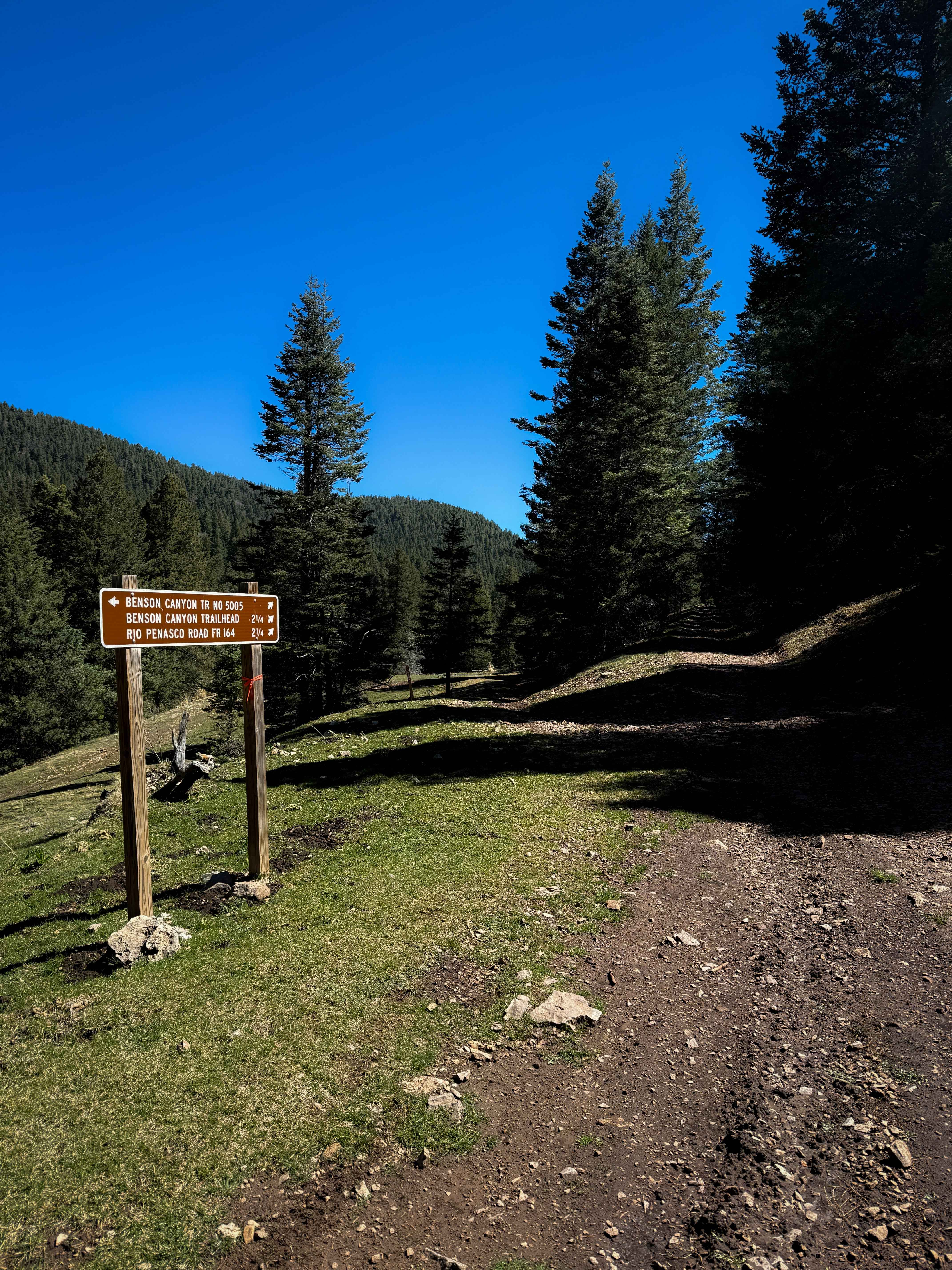
Benson Canyon Spur - FS 5005B
Benson/Bluff Springs - FS 5006
National Livestock Road
Chimney Lake to Angel Canyon (FS176)
The onX Offroad Difference
onX Offroad combines trail photos, descriptions, difficulty ratings, width restrictions, seasonality, and more in a user-friendly interface. Available on all devices, with offline access and full compatibility with CarPlay and Android Auto. Discover what you’re missing today!