Westside Road
Total Miles
11.5
Technical Rating
Best Time
Spring, Summer, Fall
Trail Type
Full-Width Road
Accessible By
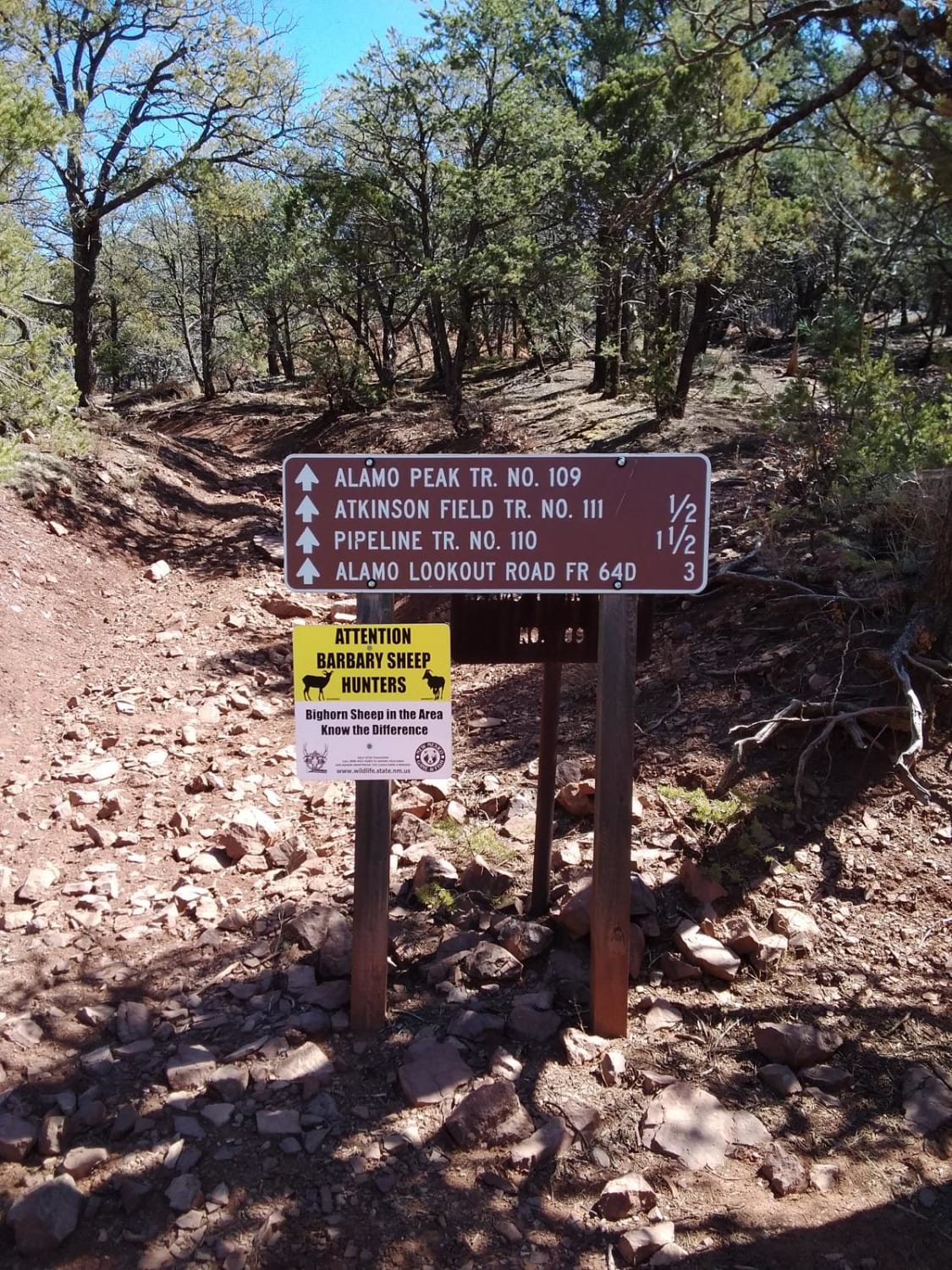
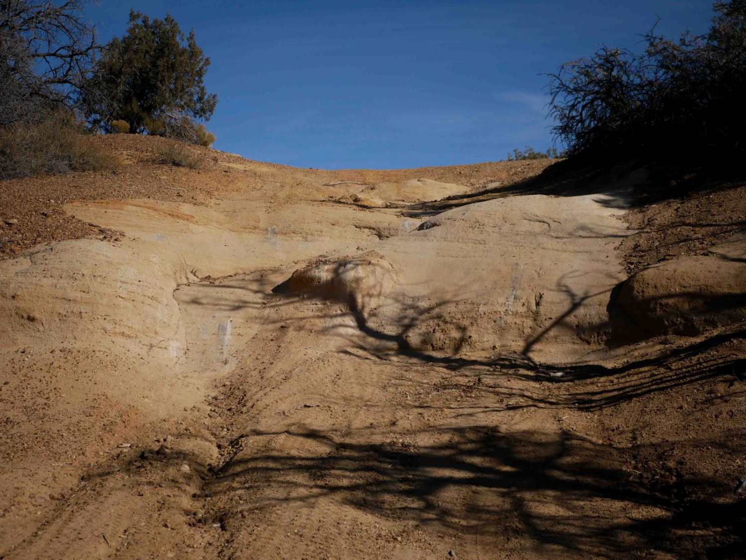
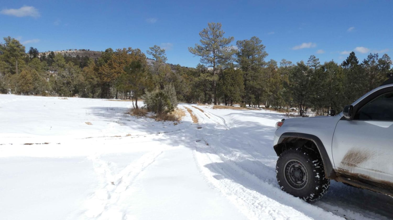
Trail Overview
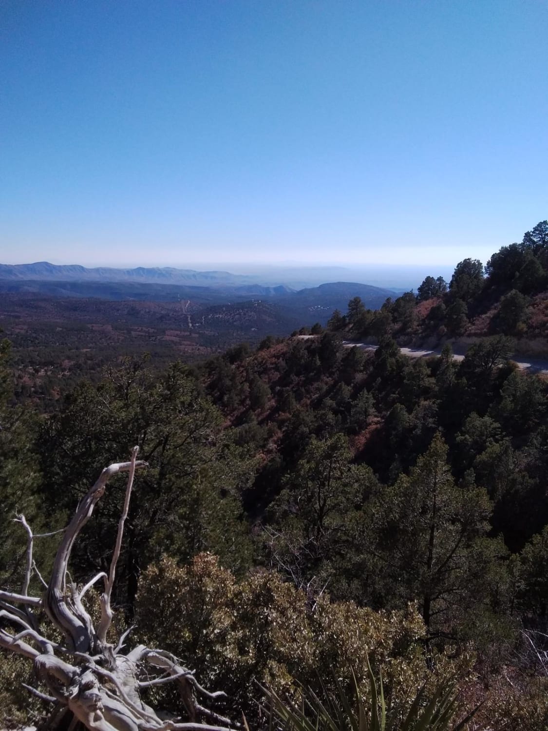
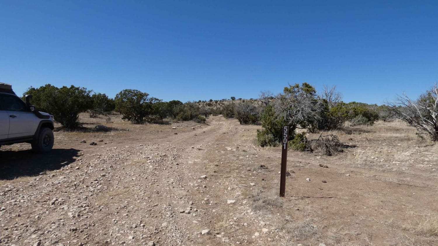
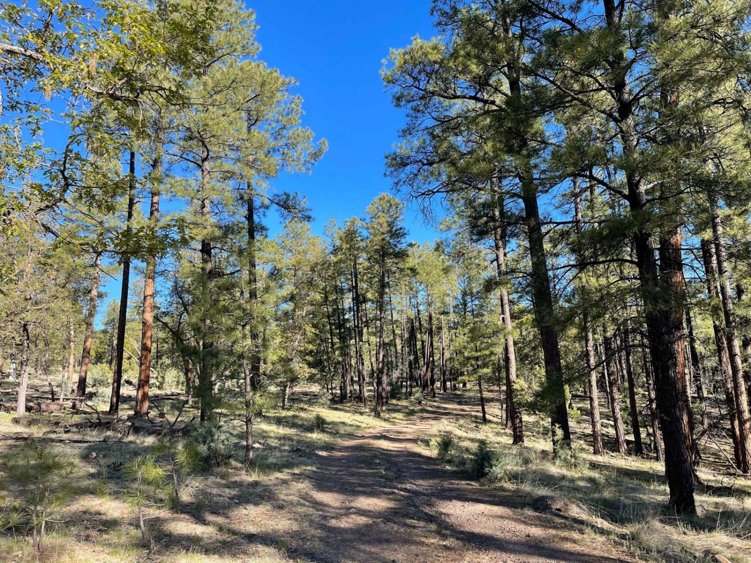
This is a great beginner trail full of hiking, camping and hunting opportunities. The trail is about 28 miles with moderate traffic. There are a plethora of spurs that lead to ATV trails, other trails and camping spots. The road begins past the gas station in High Rolls. Take a right hand turn at Westside Road and follow the winding road past the houses until the pavement ends. At all Y intersections, keep left to stay on the road. The trail ends with a steep ascent and amazing views of Lincoln National Forest and back to Sacramento River Road less than 20 miles back to Cloudcroft.
Photos of Westside Road
Difficulty
The majority of the trail is easy when dry and there is a steep grade at the beginning or ending of the trail depending on which direction you travel. When snow or rain is present, there may be some sketchy areas with steep grades and steep narrow drop-offs.
Westside Road can be accessed by the following ride types:
- High-Clearance 4x4
- SUV
- ATV (50")
- Dirt Bike
Westside Road Map
Popular Trails
Segrest Draw
Apache Peak Road
The onX Offroad Difference
onX Offroad combines trail photos, descriptions, difficulty ratings, width restrictions, seasonality, and more in a user-friendly interface. Available on all devices, with offline access and full compatibility with CarPlay and Android Auto. Discover what you’re missing today!