West Ridge
Total Miles
2.7
Technical Rating
Best Time
Spring, Fall, Winter
Trail Type
Single Track
Accessible By
Trail Overview
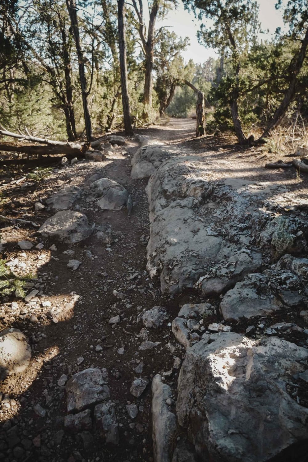
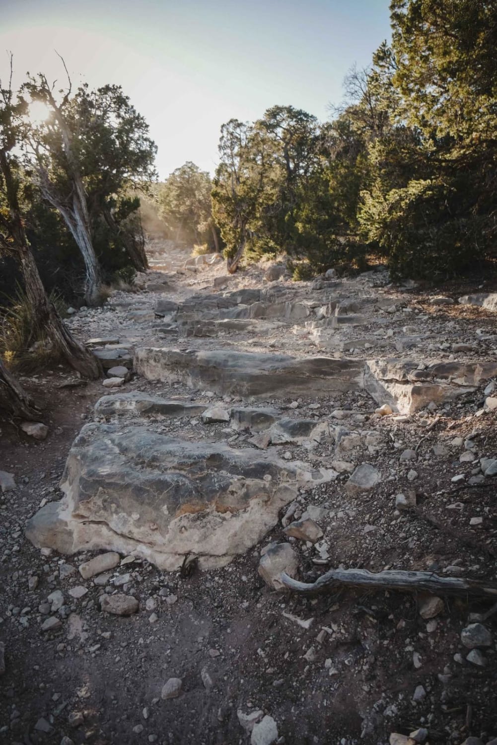
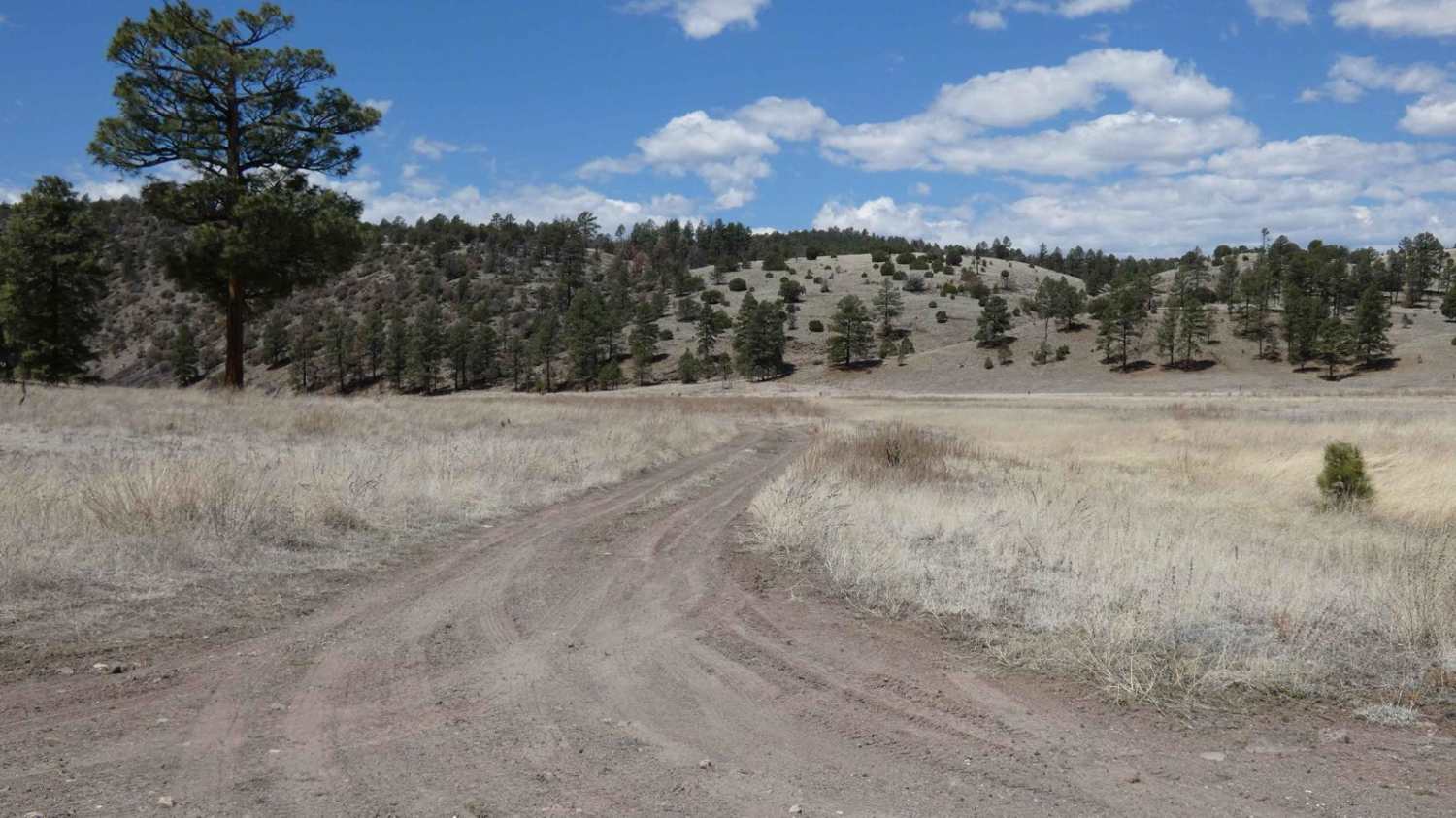
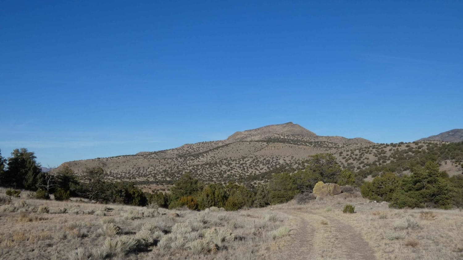
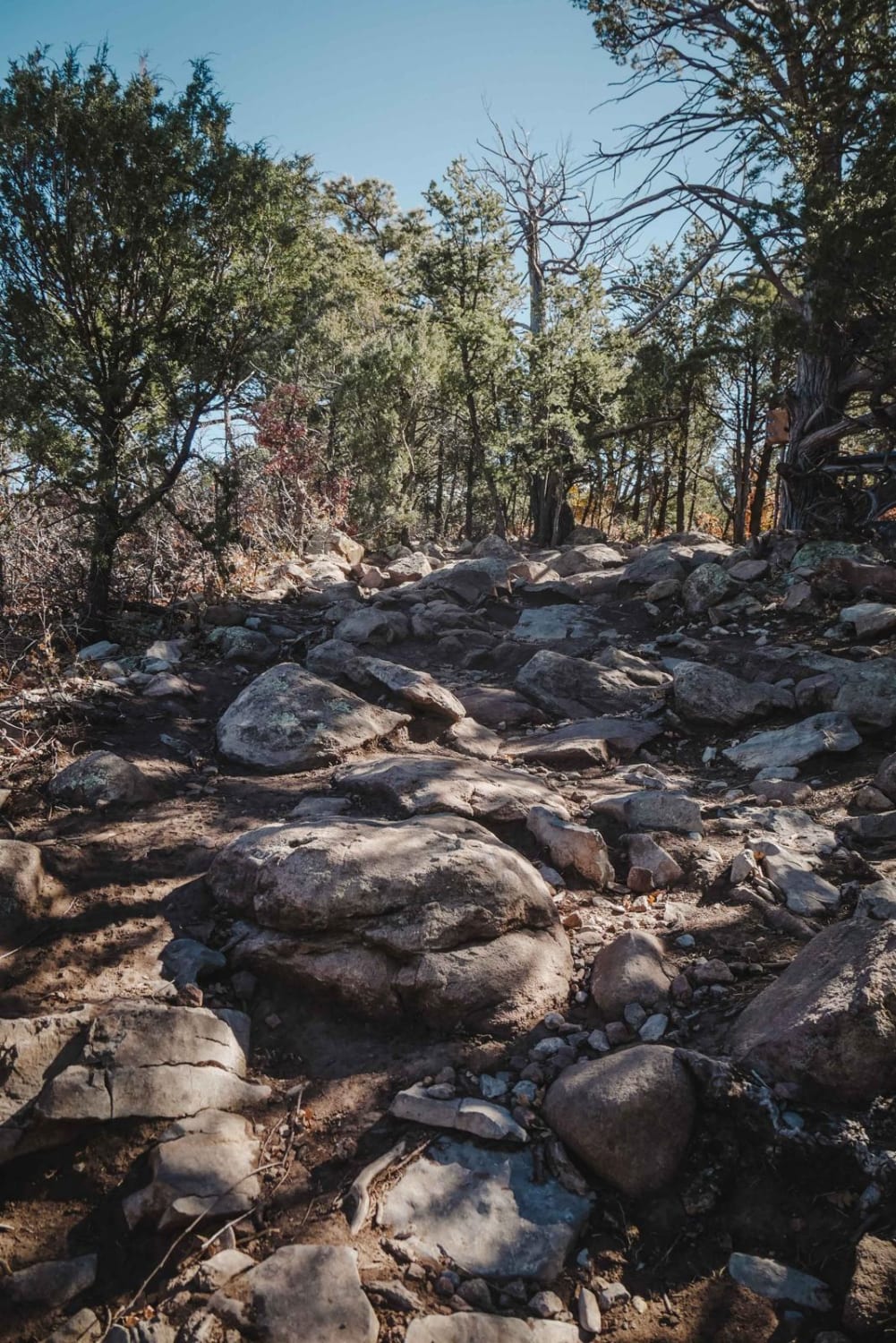
West Ridge is a 2.6-mile single track in the Manzanita Mountain Trail System near Albuquerque, New Mexico. The south end starts at the intersection with Otero Canyon and heads north. It starts on the south end by climbing up a few easy switchbacks. The switchbacks themselves aren't hard, but there are lots of rock obstacles between the hairpin turns that are more difficult. These are moderate rock ledge obstacles, and they are slightly more difficult because they are on a diagonal across the trail; a blunt face with no ramp; or the best line is really close to a tree. This trail is really closely lined with trees that sometimes you have to duck for, especially on some of the corners. It goes through lots of little ledges, gaining 320 feet in elevation to get on top of the mesa. Next, it drops down the other side of the mesa with more switchbacks, losing that same 320 feet in elevation. There are some really big rock ledge drop-offs after the intersection with Birdhouse, but they are all ramped, so they aren't too difficult even though they look really big. This trail ends at the intersection with Tunnel, which you can take back out to the Otero or Tunnel Trailheads off of Highway 337.
Photos of West Ridge
Difficulty
This is an intermediate trail that is pretty rocky the whole time and has several big rock ledge obstacles of moderate difficulty.
Status Reports
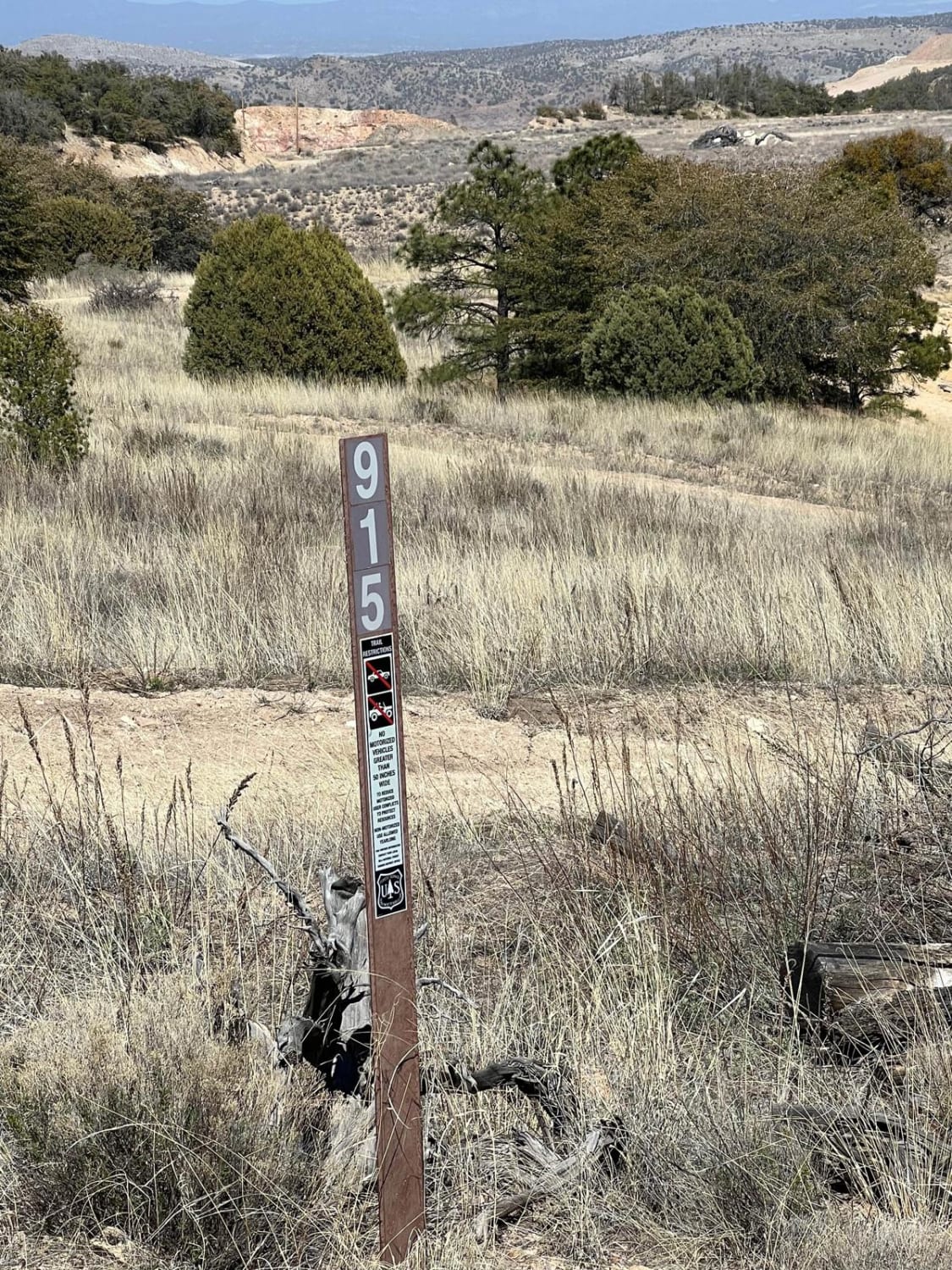
West Ridge can be accessed by the following ride types:
- Dirt Bike
West Ridge Map
Popular Trails
Beaver Creek Canyon
FS 915 Boundary Bowl
Cerro Pelon Base
Oak Flat Connector
The onX Offroad Difference
onX Offroad combines trail photos, descriptions, difficulty ratings, width restrictions, seasonality, and more in a user-friendly interface. Available on all devices, with offline access and full compatibility with CarPlay and Android Auto. Discover what you’re missing today!