Salazar Canyon East
Total Miles
11.0
Technical Rating
Best Time
Spring, Summer, Fall, Winter
Trail Type
Full-Width Road
Accessible By
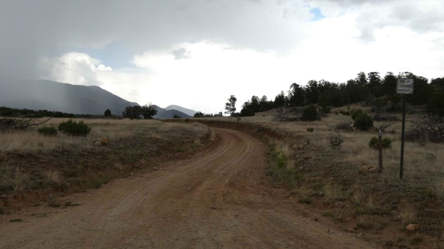
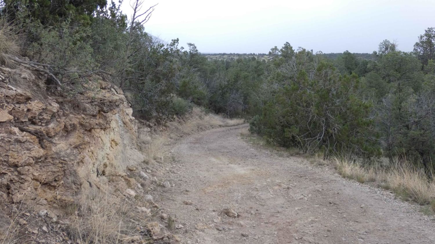
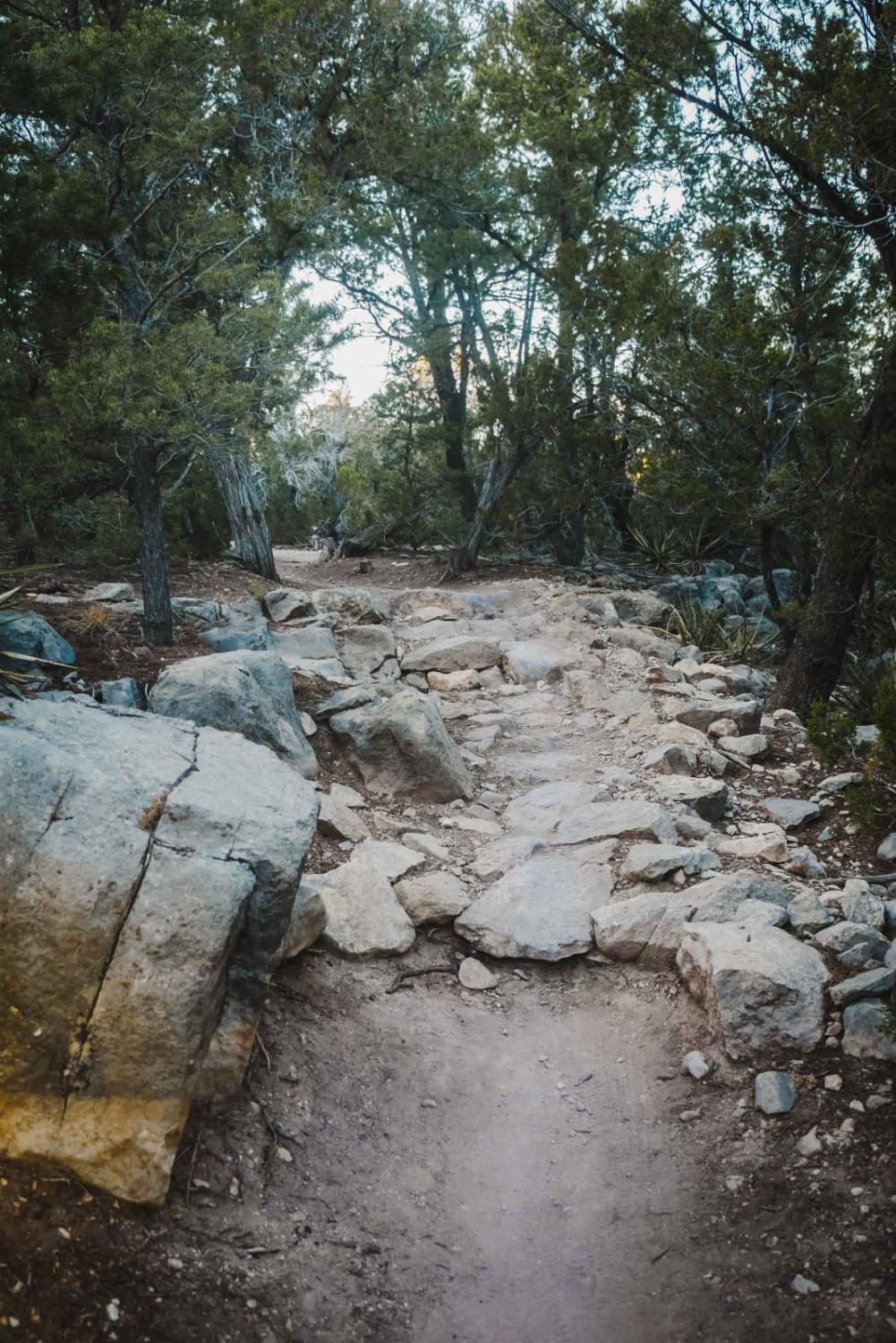
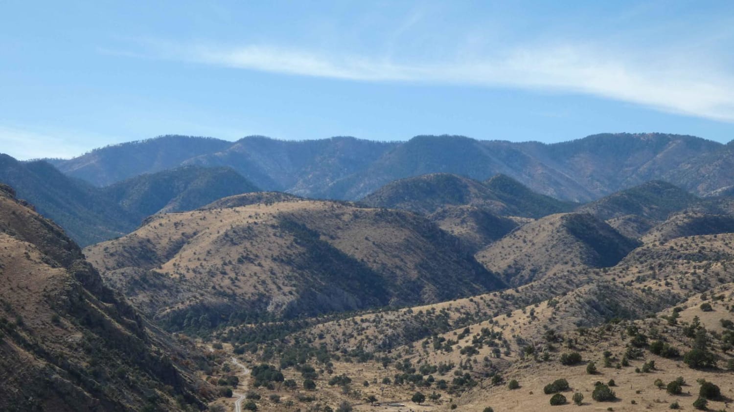
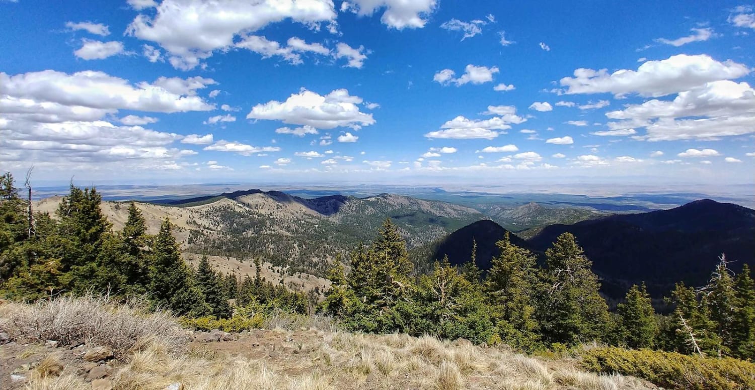
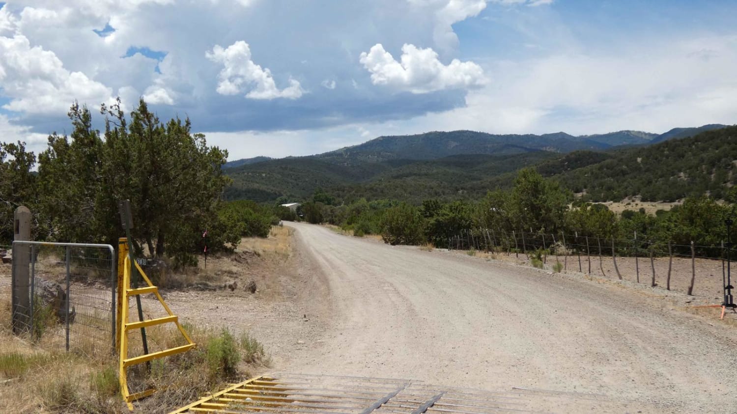
Trail Overview
Salazar Canyon East begins just east of Baca campground inside a private land boundary before returning to USFS. The surface is a combination of rock and dirt with some small rock gardens, low-lying areas that have the potential to be shallow water crossings, and some spots being primarily rocks. There are some short low-grade inclines along the route but no difficult or technical areas and no obstacles larger than 12" and with the trail being mostly two vehicles wide, any larger obstacles can be avoided. While dry, the trail will be easily accessible by most vehicles including 2WD high clearance and some high clearance AWD. However, during or after rains, the areas with a dirt surface turn to mud very quickly, and runoff from the Capitan Mountain to the north increases water flow along the trail and should only be attempted by 4x4/4WD vehicles with appropriate tires. The mud is very slippery and is lightly off-camber in sections with deeper ruts on either side of the trail and some areas showing signs of erosion on the sides as well. The low-lying areas and washes are sandy and extremely soft during or after rain and show signs of water depth up to 12". Views are wide open for most of the trail and provide a great view of the south face of the Capitan Mountain as well as the valley to the south overlooking the Hondo and Tinnie areas. Cell service is strong in some areas and quickly drops to no service in the lower elevation sections. Aside from the private land at the beginning of the trail, there are a couple of other private land areas that the trail passes through. These private land areas are not restricted, but drivers should stick to the main trail in these sections. There are several hiking and motorized spurs along the route, as well as a few designated dispersed camping sites for those not wanting to utilize Baca Campground. The trail ends at a locked USFS gate with signage stating the road is closed and there is plenty of room to turn around to head back. Be aware of the weather as it can change quickly and make the trail more difficult, especially on the return trip out.
Photos of Salazar Canyon East
Difficulty
During dry weather, the only obstacles are some rocks with none being larger than 12" a few lightly steeper inclines coming out of the low-lying washes and some low-grade inclines coming out of the canyon from the east. During or after rains the surface quickly turns to slippery mud with moderate water runoff in the lower washes and has the potential to be approximately 12" in depth. The areas showing signs of erosion may become worse after heavy rains or snow and drivers should approach these sections with caution after wet weather.
Status Reports
Salazar Canyon East can be accessed by the following ride types:
- High-Clearance 4x4
- SUV
- SxS (60")
- ATV (50")
- Dirt Bike
Salazar Canyon East Map
Popular Trails
Big Rosa Canyon
Nogal Canyon FSR-400
The onX Offroad Difference
onX Offroad combines trail photos, descriptions, difficulty ratings, width restrictions, seasonality, and more in a user-friendly interface. Available on all devices, with offline access and full compatibility with CarPlay and Android Auto. Discover what you’re missing today!