West Boundary
Total Miles
1.8
Technical Rating
Best Time
Spring, Winter, Fall
Trail Type
Single Track
Accessible By
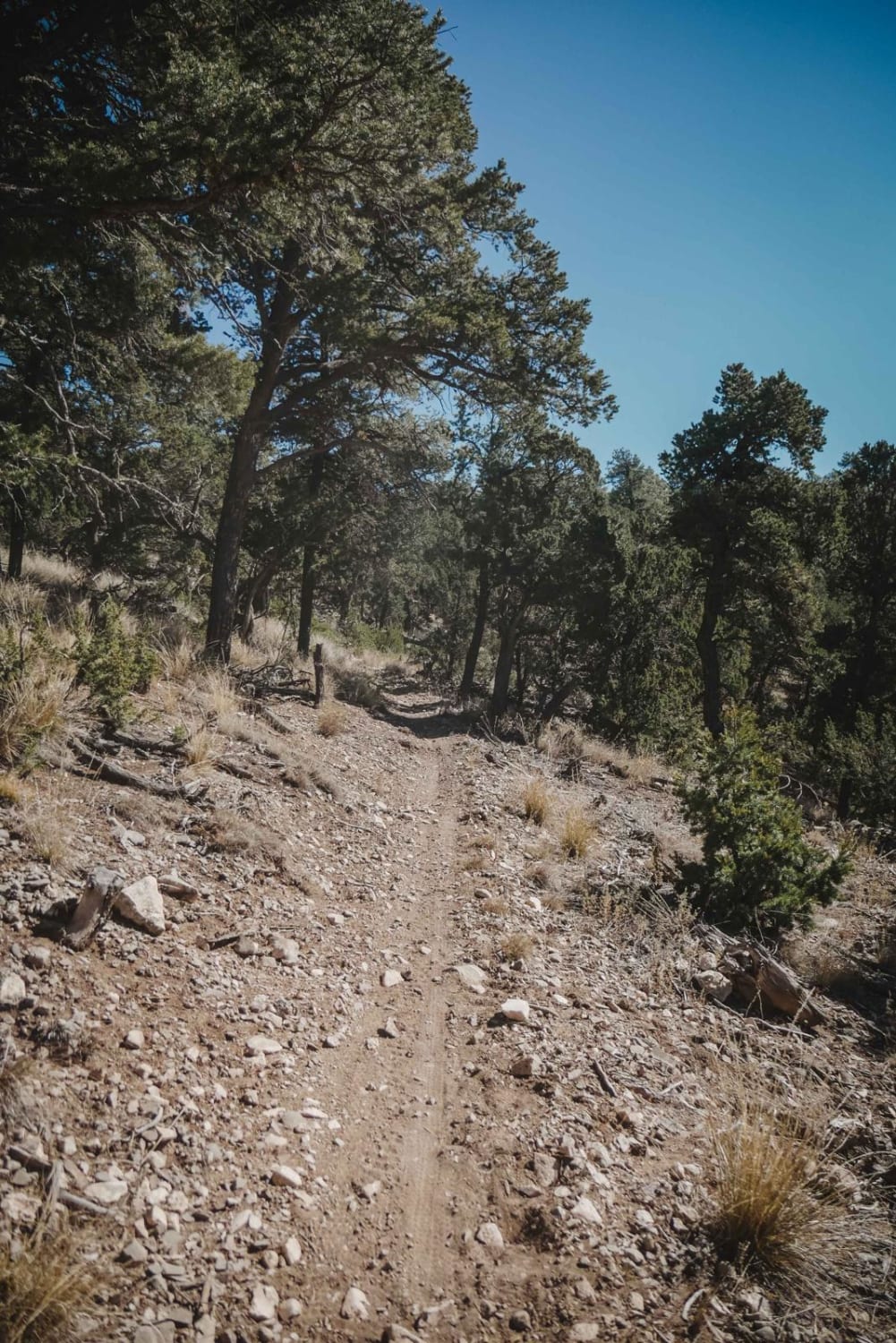
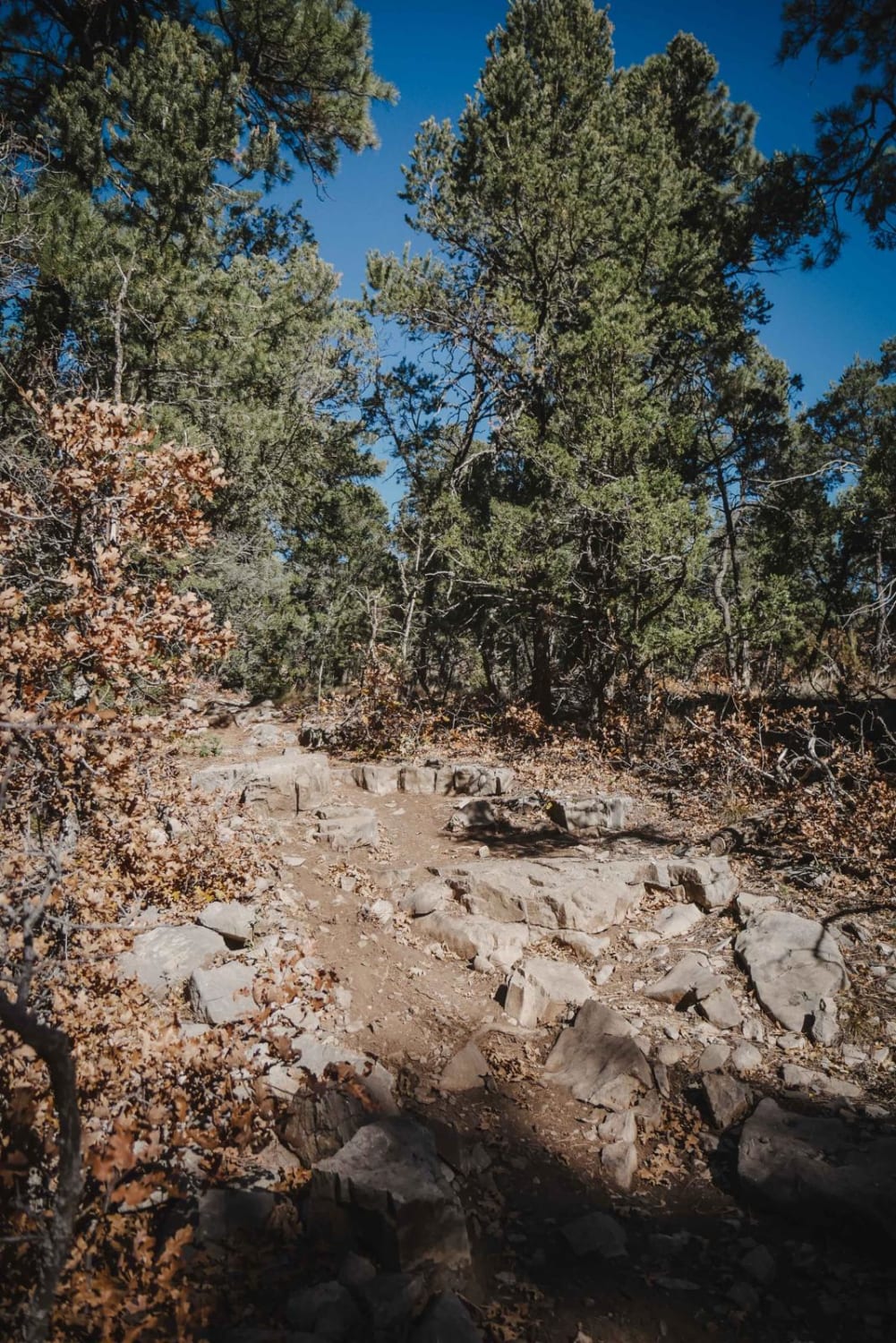
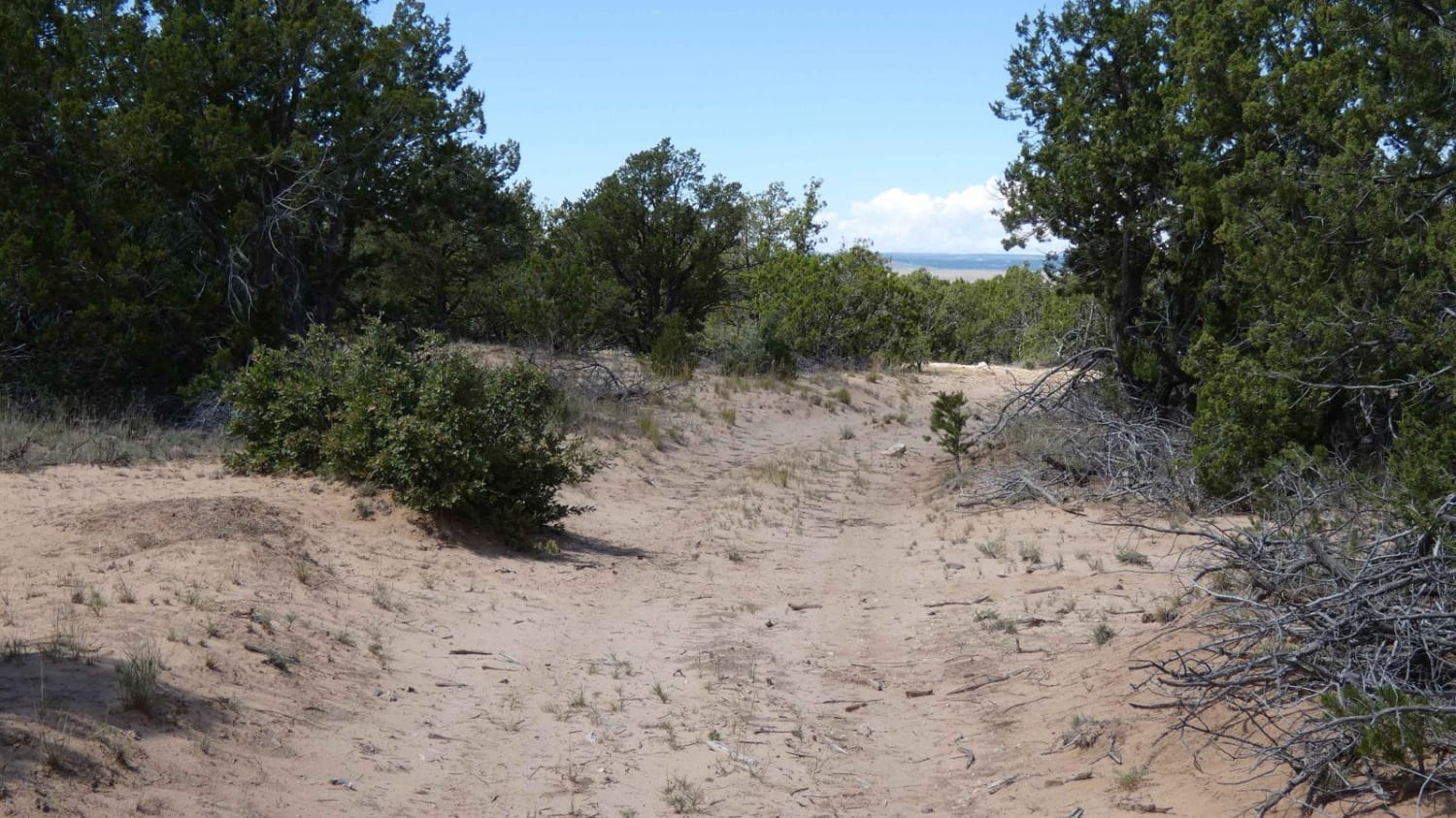
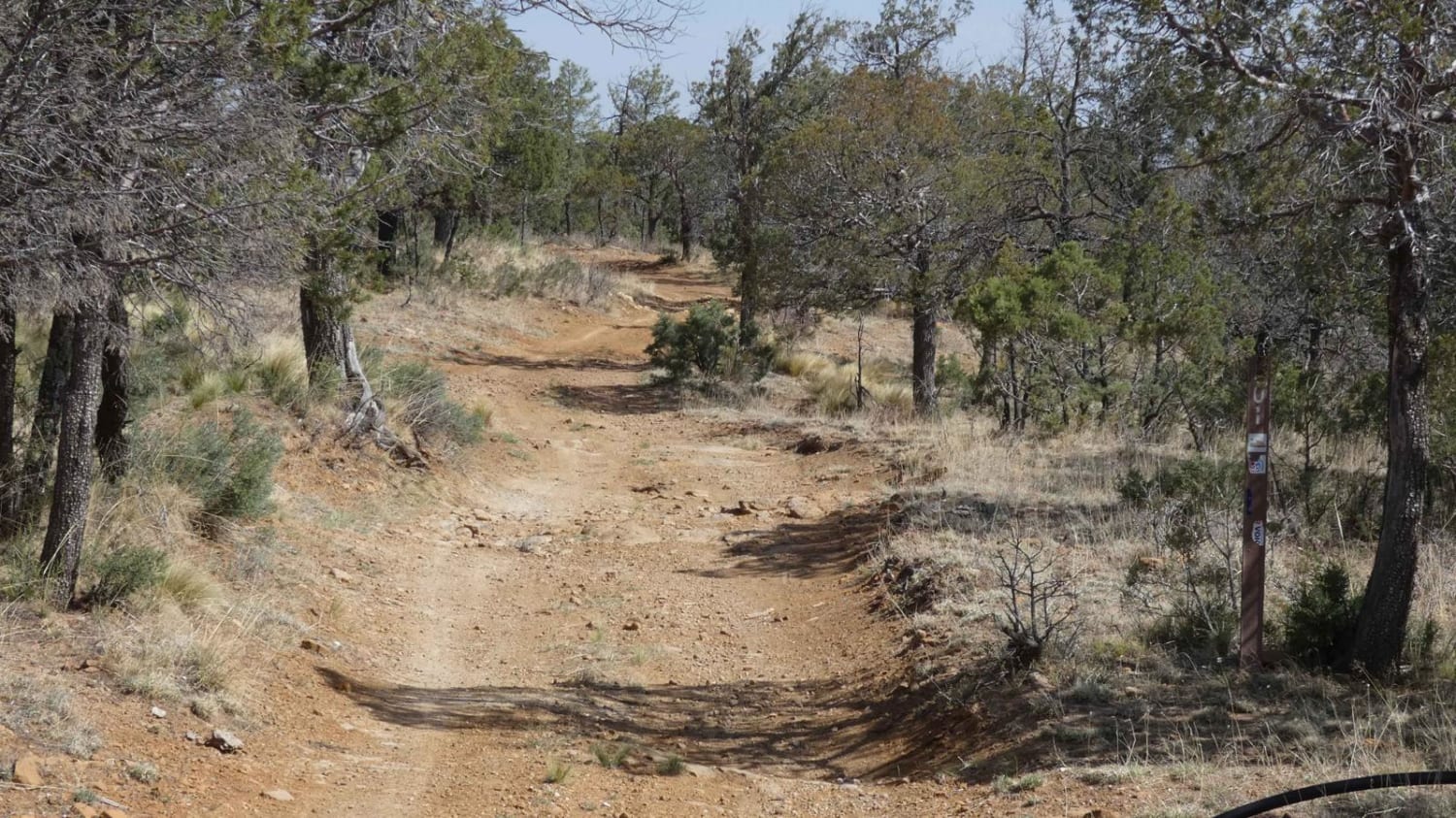
Trail Overview
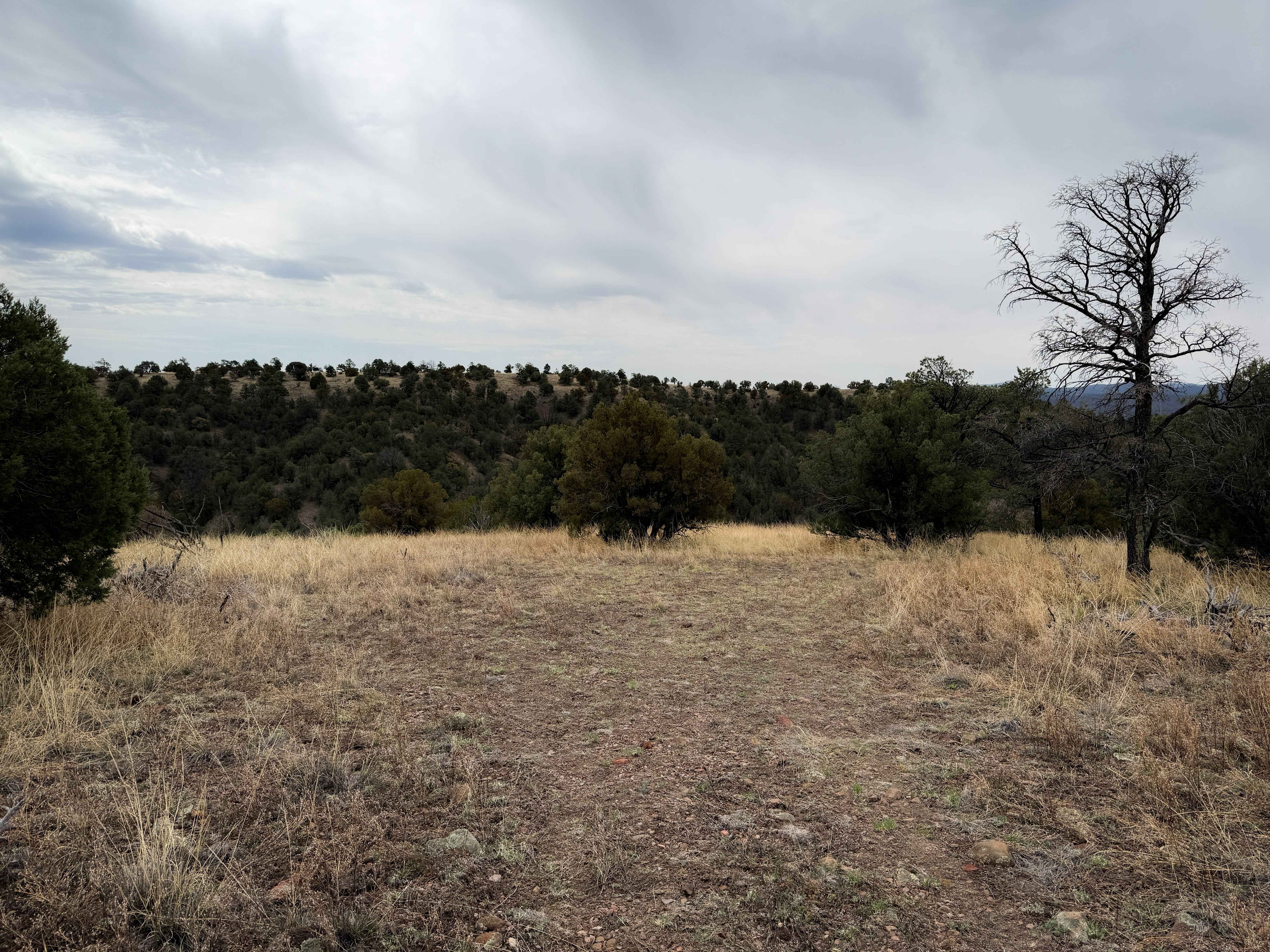
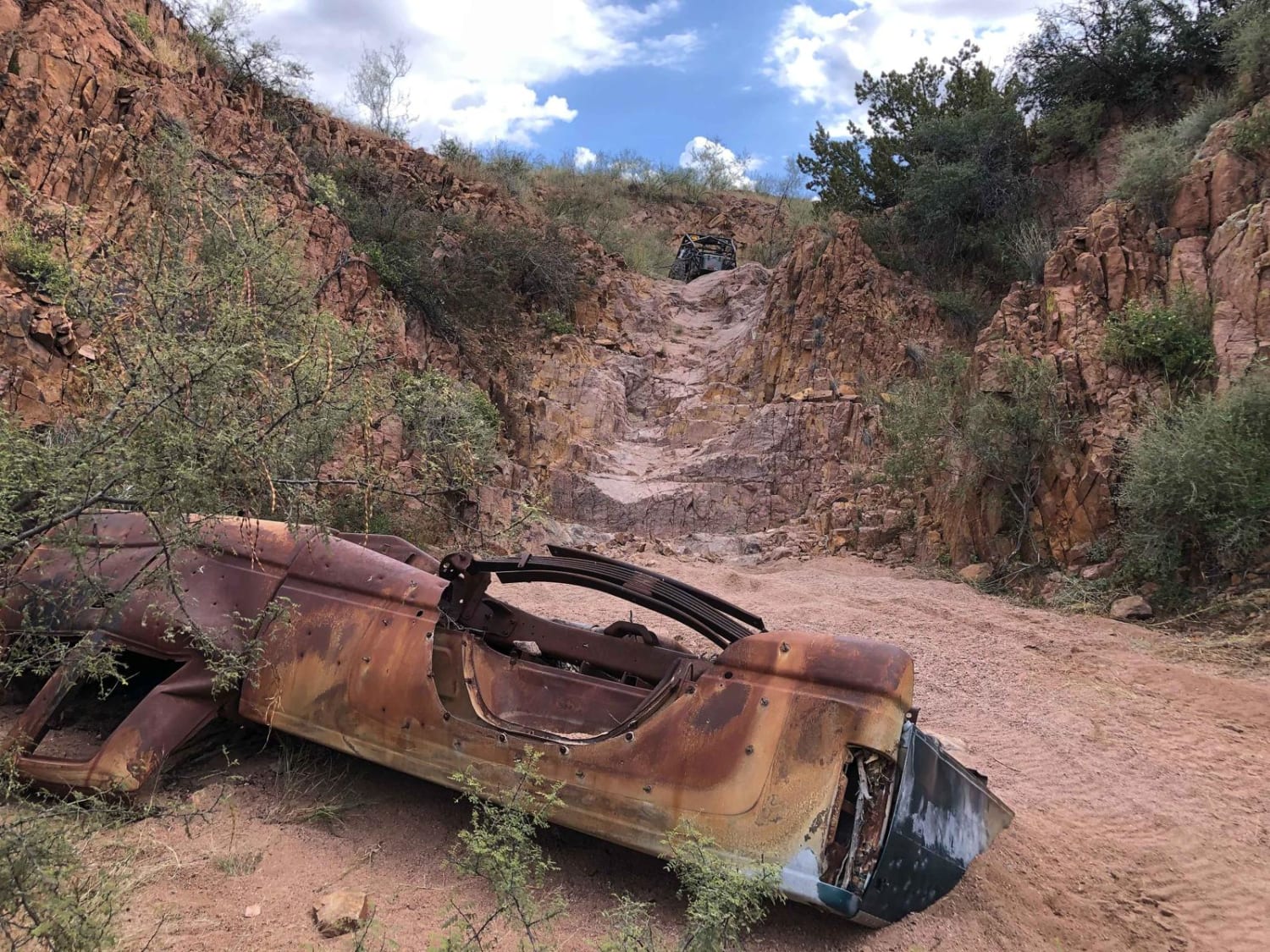
West Boundary is an easy single track in the Manzanita Mountain Trail System that goes north to south along the west boundary of this OHV area in the Cibola National Forest. The land on the west side of this trail belongs to the US Air Force, and there are signs every 50 feet stating not to enter because there could be unexploded objects on the USAF land. The trail starts off easy and flowy. It has some shelfy narrow climbing spots with more rocks and some tight turns between the pine trees. Overall it's pretty flat, only gaining and losing about 140 feet of elevation over 1.8 miles as it rides along the bottom of the forest floor. It ends on 530 Road, which you can use to make a loop back to more single-track trails or return to the Mars Court Trailhead.
Photos of West Boundary
Difficulty
This is an easy single track with tight turns and rocky sections, but no big obstacles.
Status Reports
West Boundary can be accessed by the following ride types:
- Dirt Bike
West Boundary Map
Popular Trails
Wandering Wake
GRT/FS201: Guadalupe Rim Trail
The onX Offroad Difference
onX Offroad combines trail photos, descriptions, difficulty ratings, width restrictions, seasonality, and more in a user-friendly interface. Available on all devices, with offline access and full compatibility with CarPlay and Android Auto. Discover what you’re missing today!