Vallecitos Pass
Total Miles
10.8
Technical Rating
Best Time
Spring, Summer, Fall, Winter
Trail Type
Full-Width Road
Accessible By
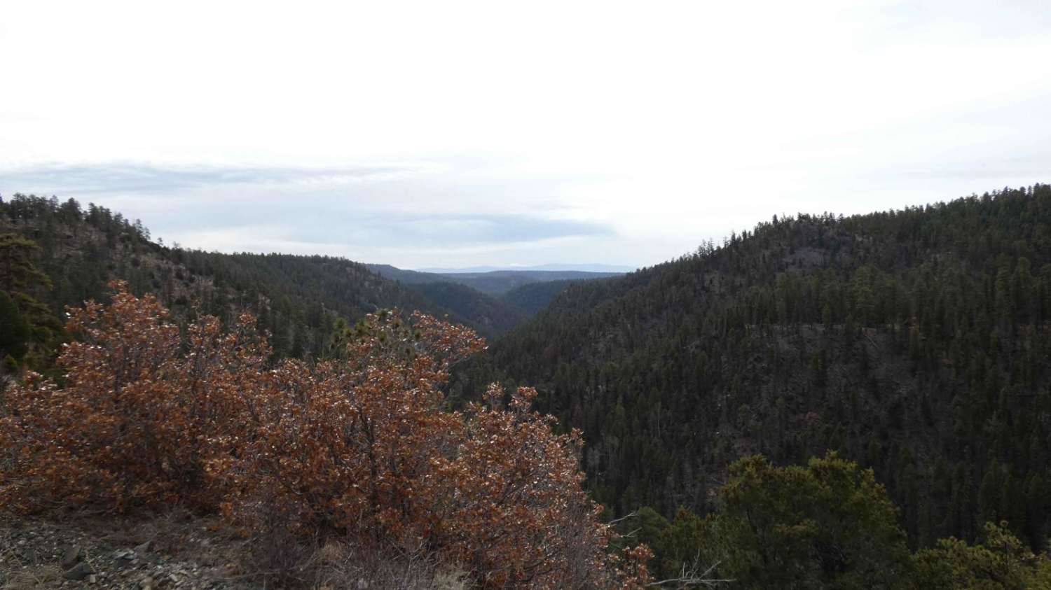
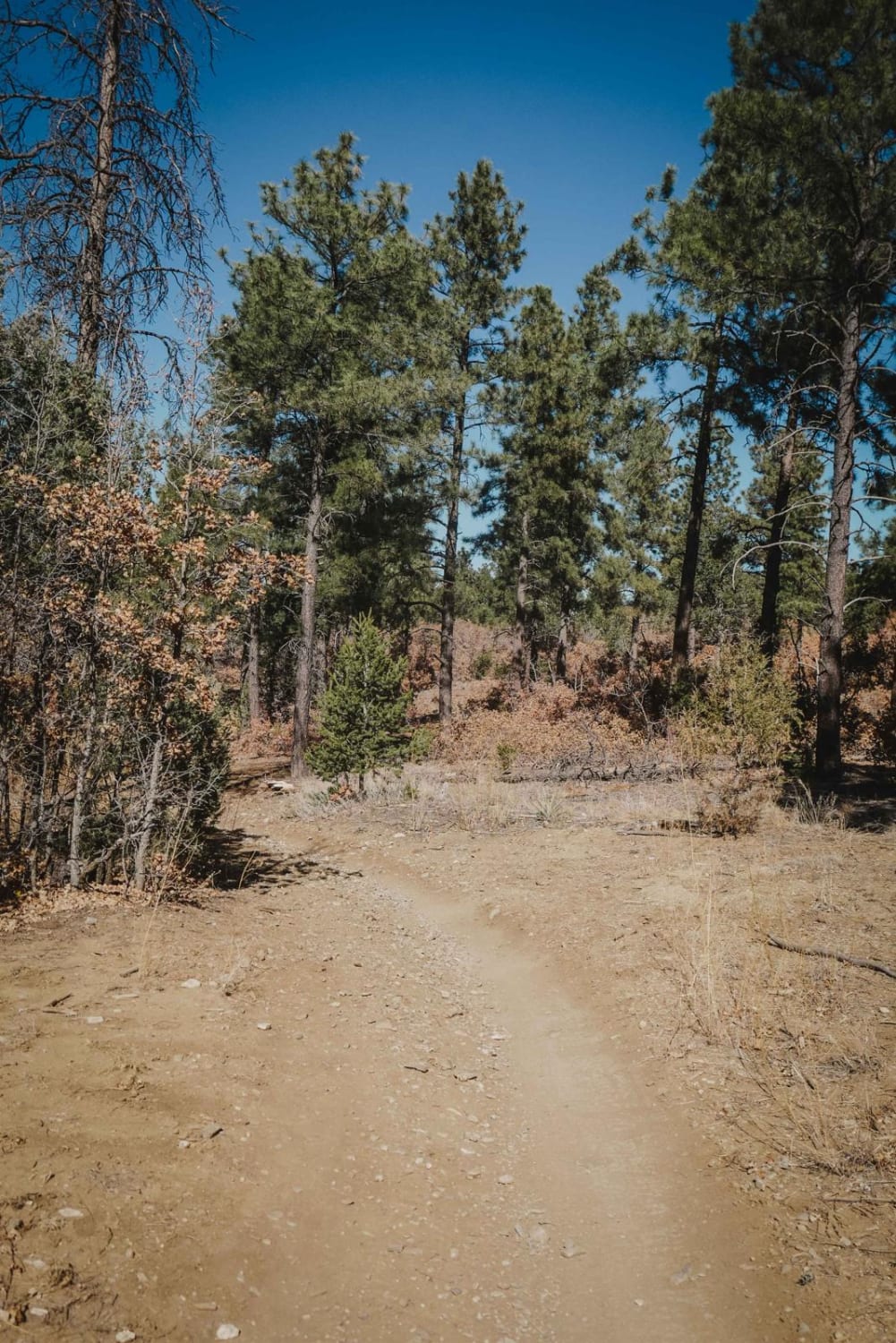
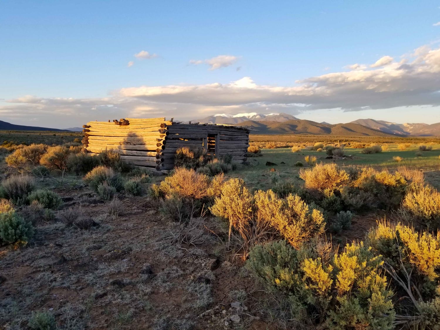
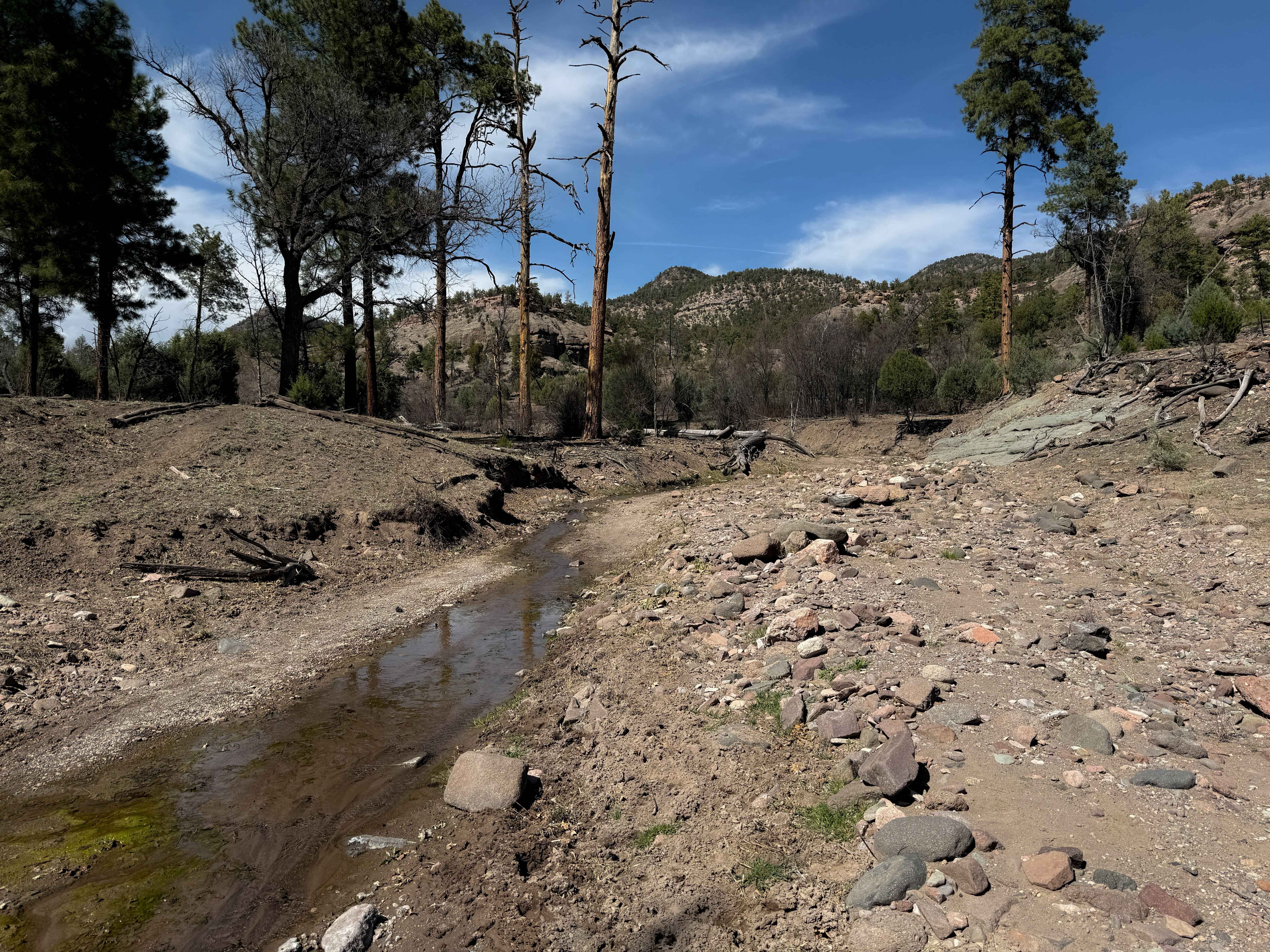
Trail Overview
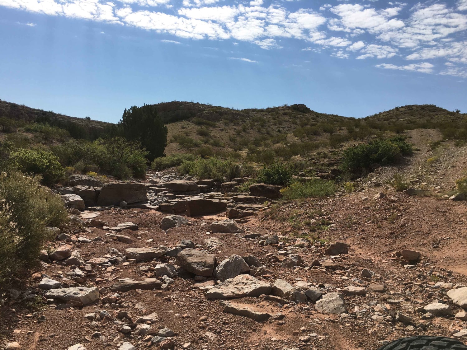
Vallecitos Pass is a dispersed camper's dream, even if you only have a high clearance 2WD. This easy-to-traverse trail has no major obstacles, only showing signs of minor ruts and small grades with loose rocks. Dispersed camping is permitted from .02 miles from the south entrance coming off of CR-447 and up to 6.2 miles from the south entrance before the trail intersects the first section of private land. From there, dispersed camping is permitted again from mile 7.5 to mile 9.2 from the southern entrance. Several areas are semi-developed with fire rings, open clearings, and multiple rough sites that are flat and open enough for camping. This trail also intersects FSR-91 and FSR-91B, which will lead to Hopewell Lake approximately 13 miles to the north when taking FSR-91 B. Cell service is minimal until the last few miles towards the east end of the trail where it intersects SR-64, which can also be utilized to reach Hopewell Lake and Hopewell Dam as well as the campgrounds.
Photos of Vallecitos Pass

Difficulty
There are no major obstacles along the length of the trail. There are some sections of very minor rutting and some loose gravel, but the trail is suitable for most vehicles during dry weather.
Status Reports
Vallecitos Pass can be accessed by the following ride types:
- High-Clearance 4x4
- SUV
- SxS (60")
- ATV (50")
- Dirt Bike
Vallecitos Pass Map
Popular Trails
Caida del Pino
Taos Valley Road 5030 North
The onX Offroad Difference
onX Offroad combines trail photos, descriptions, difficulty ratings, width restrictions, seasonality, and more in a user-friendly interface. Available on all devices, with offline access and full compatibility with CarPlay and Android Auto. Discover what you’re missing today!