Upper Rim
Total Miles
1.4
Technical Rating
Best Time
Spring, Fall, Winter, Summer
Trail Type
High-Clearance 4x4 Trail
Accessible By
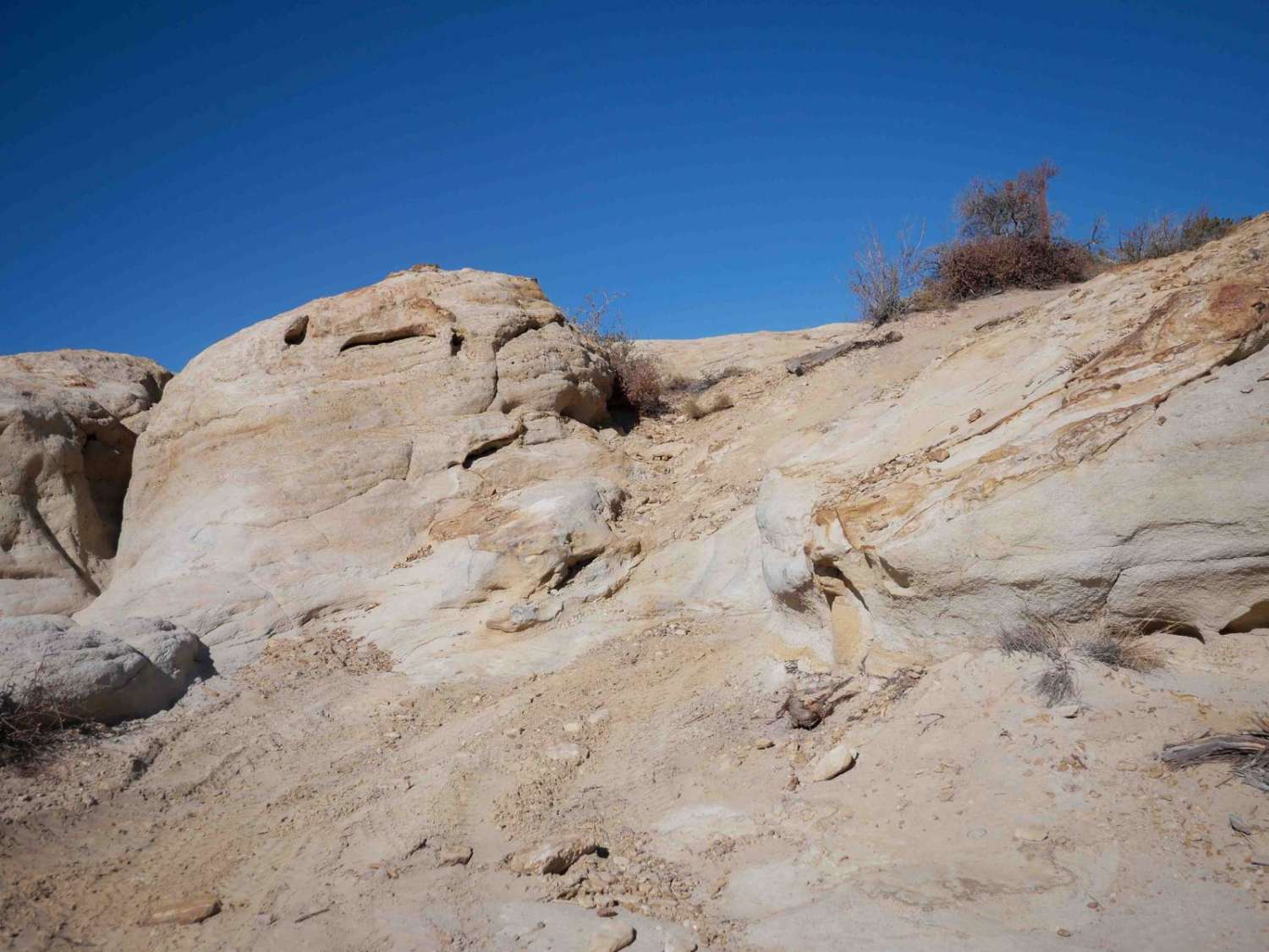
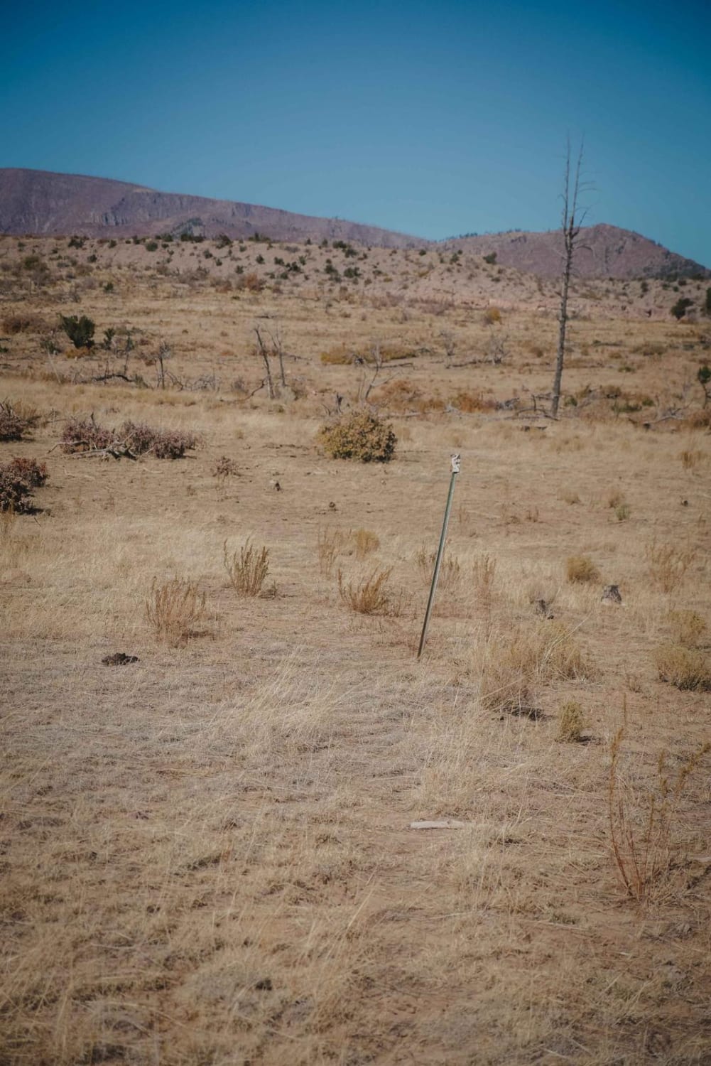
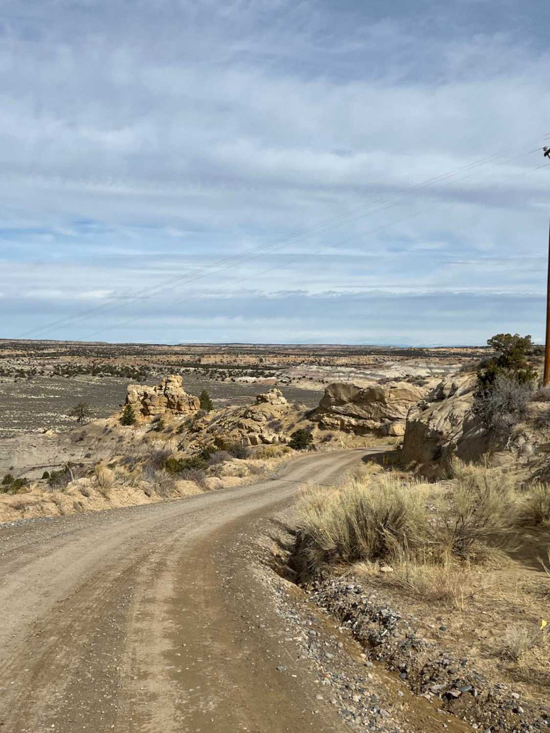
Trail Overview
The Upper Rim trail is a really scenic and very challenging 4x4 trail, with frequent advanced obstacles. From the Power Line Road, it starts by winding through the juniper trees on a dirt road, then descends down a couple of steep slickrock slab faces into the sand. Throughout this route, you'll have to do 20+ advanced obstacles, including both up and down 6+ foot tall slick rock ledges. Some of the ledges are more off-camber with exposure as the trail climbs between the rock layers of the mesa. Sometimes you'll get multiple options for where to approach the ledge. One for example, is a steep run-in to a blunt ~4 foot tall ledge. You ride along the rim of the mesa, with great views overlooking the canyon, and ride right under scenic cliffs. There are lots of signs to help follow the route, and they also indicate the difficulty of specific obstacles. There are several optional obstacles and there is often a bypass around some of the more extreme obstacles. The hardest obstacles are 10+ feet tall, multiple ledges in a row, and very steep. There's a super off-camber optional obstacle that is a 10 difficulty, but there is an easy way around it. This trail is within the Open OHV Area of Glade Run.
Photos of Upper Rim

Difficulty
This trail is rated a 7 by the BLM, and it has several other optional obstacles that could make it more like a 10. Ratings change with conditions, and currently, it's more like an 8 difficulty per the OnX trail rating system, with obstacles about 6+ feet high and tight rock pinches. Per the BLM, you'll experience 25-degree grades and 30-degree sidehills. A minimum of 37-inch tires and front and rear lockers are necessary. Winches, skid plates, body protection, and trail recovery gear are essential. Body damage is possible and vehicle modifications are helpful. ATVs are not recommended.
Status Reports
Upper Rim can be accessed by the following ride types:
- High-Clearance 4x4
- SxS (60")
- ATV (50")
- Dirt Bike
Upper Rim Map
Popular Trails
Johnson Canyon
Faulkner Gap

Crow Canyon Option
The onX Offroad Difference
onX Offroad combines trail photos, descriptions, difficulty ratings, width restrictions, seasonality, and more in a user-friendly interface. Available on all devices, with offline access and full compatibility with CarPlay and Android Auto. Discover what you’re missing today!