Mule Train
Total Miles
3.6
Technical Rating
Best Time
Spring, Fall, Winter
Trail Type
Single Track
Accessible By
Trail Overview
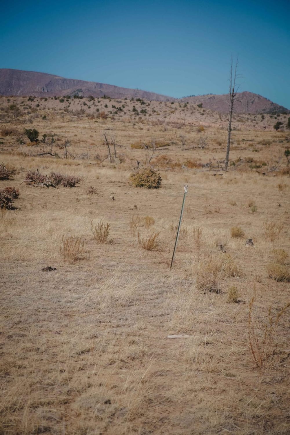
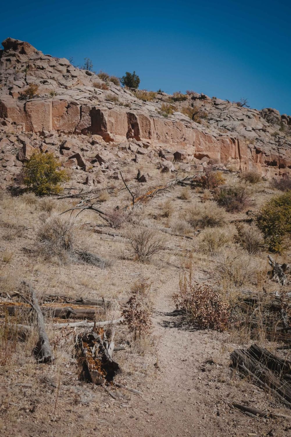
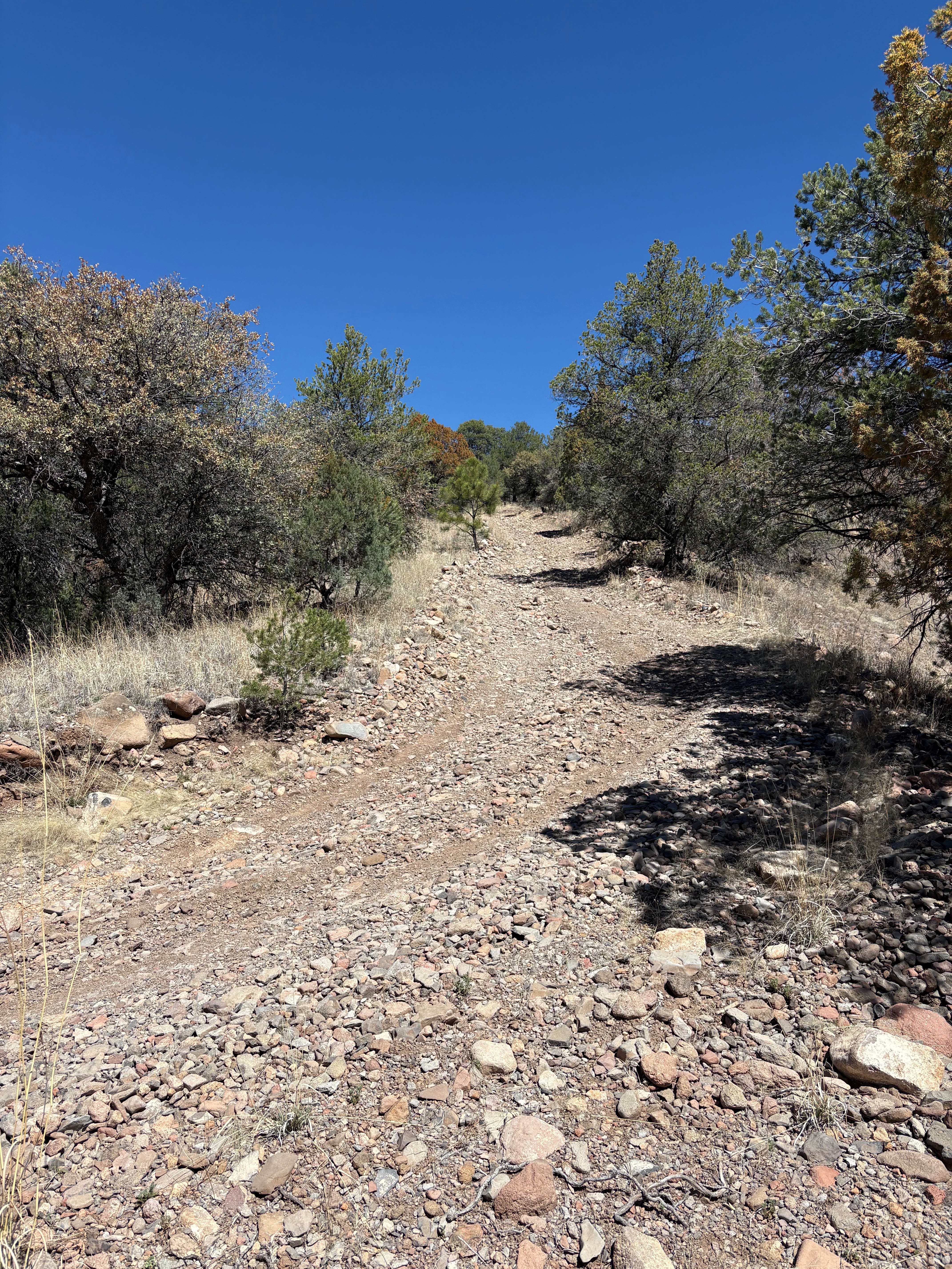
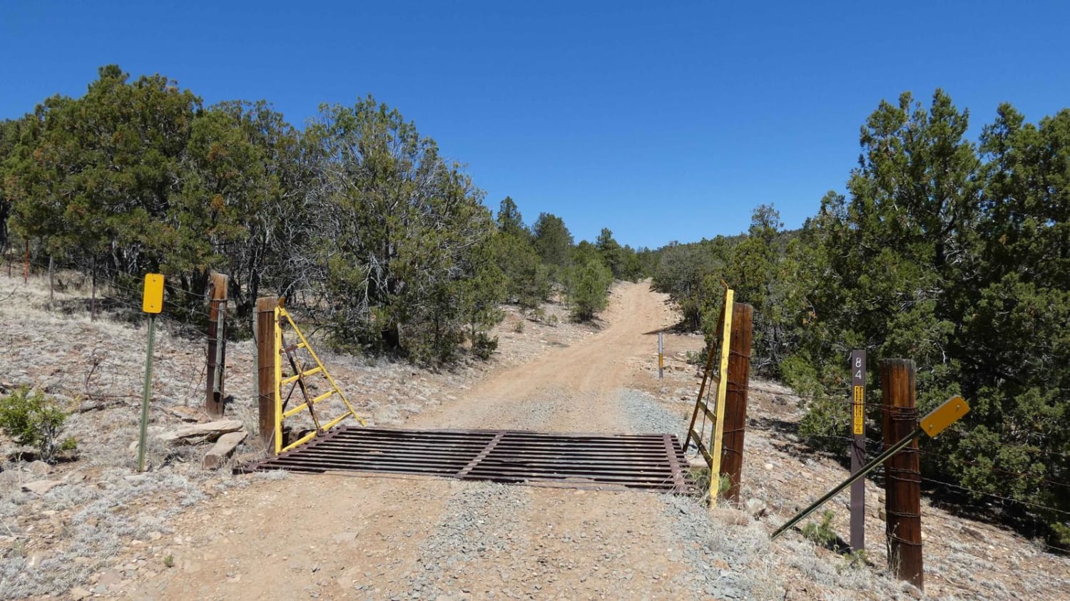
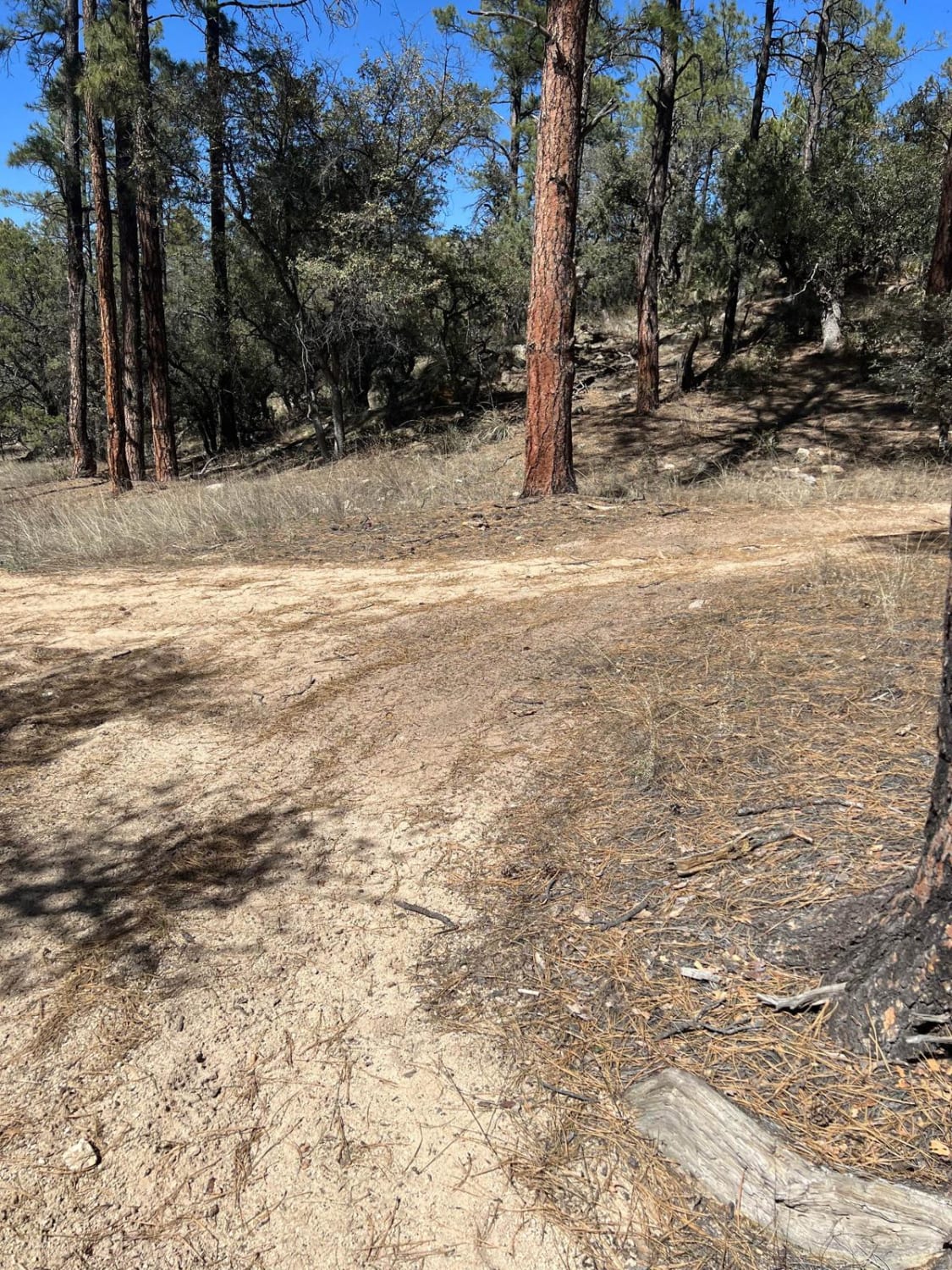
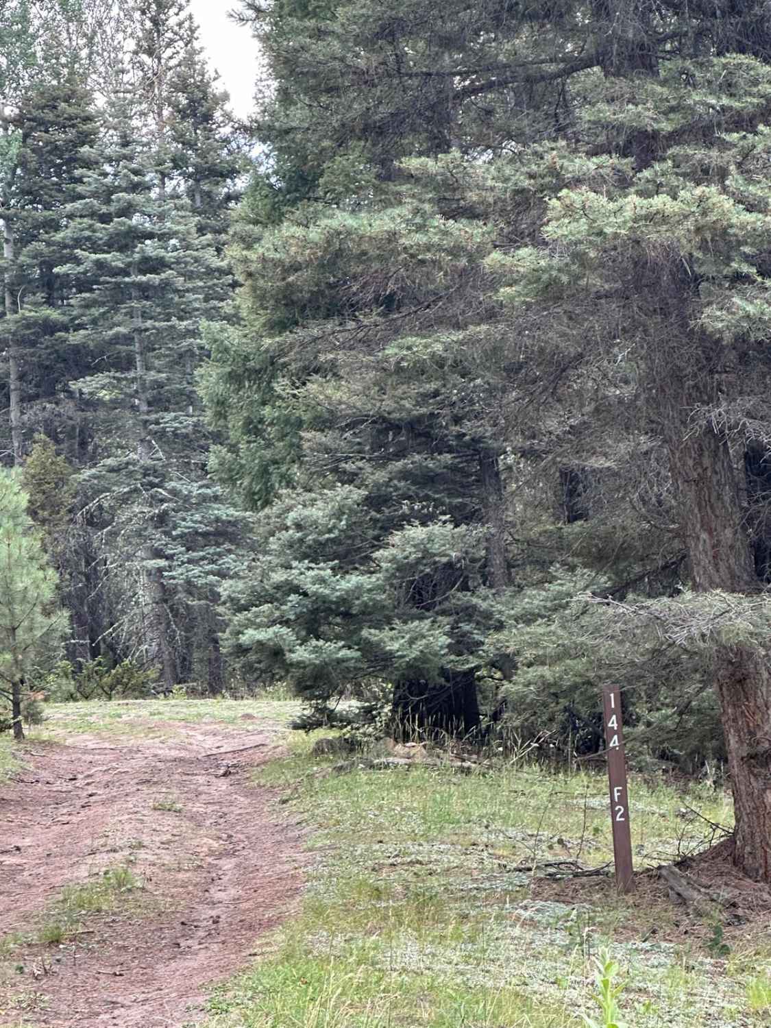
Mule Train is an intermediate single track north of Los Alamos, New Mexico, with some moderate rocky sections that will require significant route-finding skills when the trail goes through a burn area. The northwest entrance to the trail is easier to find compared to the southeast entrance, because the southeast entrance has become overgrown in a burn area, so it is recommended to ride this trail west to east. The west side starts in a pine forest, then goes along a desert ridgeline underneath some cool pink rock walls on a somewhat sandy trail. It has a couple of tight switchbacks and a shelfier section as it drops down into some more pine trees and into a couple of rocky ravines. It drops down next to Chupaderos Road 446, and there is a bailout here (near the west end of Chupaderos Spur). After the bail-out, it dips down into a rocky ravine. Next, it has several small rocky climbs with lots of loose softball-sized rocks. It goes up a shelfy wider rocky trail for a bit, then ends up in a burn area 2.8 miles into your ride. The last mile is through a grassy burn area with tons of small downed trees, and it gets significantly more difficult to follow. The trail will just peter out completely and you'll have to use GPS until it picks up again. It's very overgrown with grass and very faint. There is nothing to mark the trail except a sporadic cairn here and there, but don't rely on them. You'll meander through this burn area all the way to Maria's Canyon Road 416. If you keep persisting and use the GPS, you will eventually find pieces of the trail, although it feels like bushwhacking at times. This section of trail is a good challenge for someone wanting to route find but also could use help from a big group of riders to come cut in the trail more.
Photos of Mule Train
Difficulty
This is an intermediate difficulty trail due to tight shelfy sections of trail and rocky ravines. The trail itself is not too difficult, but the last mile on the east side requires significant route finding, which is a challenge in itself and time-consuming.
Status Reports
Mule Train can be accessed by the following ride types:
- Dirt Bike
Mule Train Map
Popular Trails
Hay Mesa - Trail 976
Indian Divide
The onX Offroad Difference
onX Offroad combines trail photos, descriptions, difficulty ratings, width restrictions, seasonality, and more in a user-friendly interface. Available on all devices, with offline access and full compatibility with CarPlay and Android Auto. Discover what you’re missing today!