Tusas Ridge
Total Miles
9.7
Technical Rating
Best Time
Spring, Summer, Fall, Winter
Trail Type
Full-Width Road
Accessible By
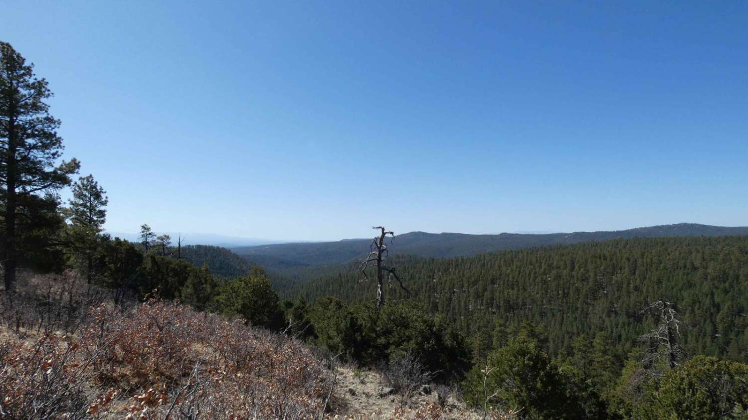
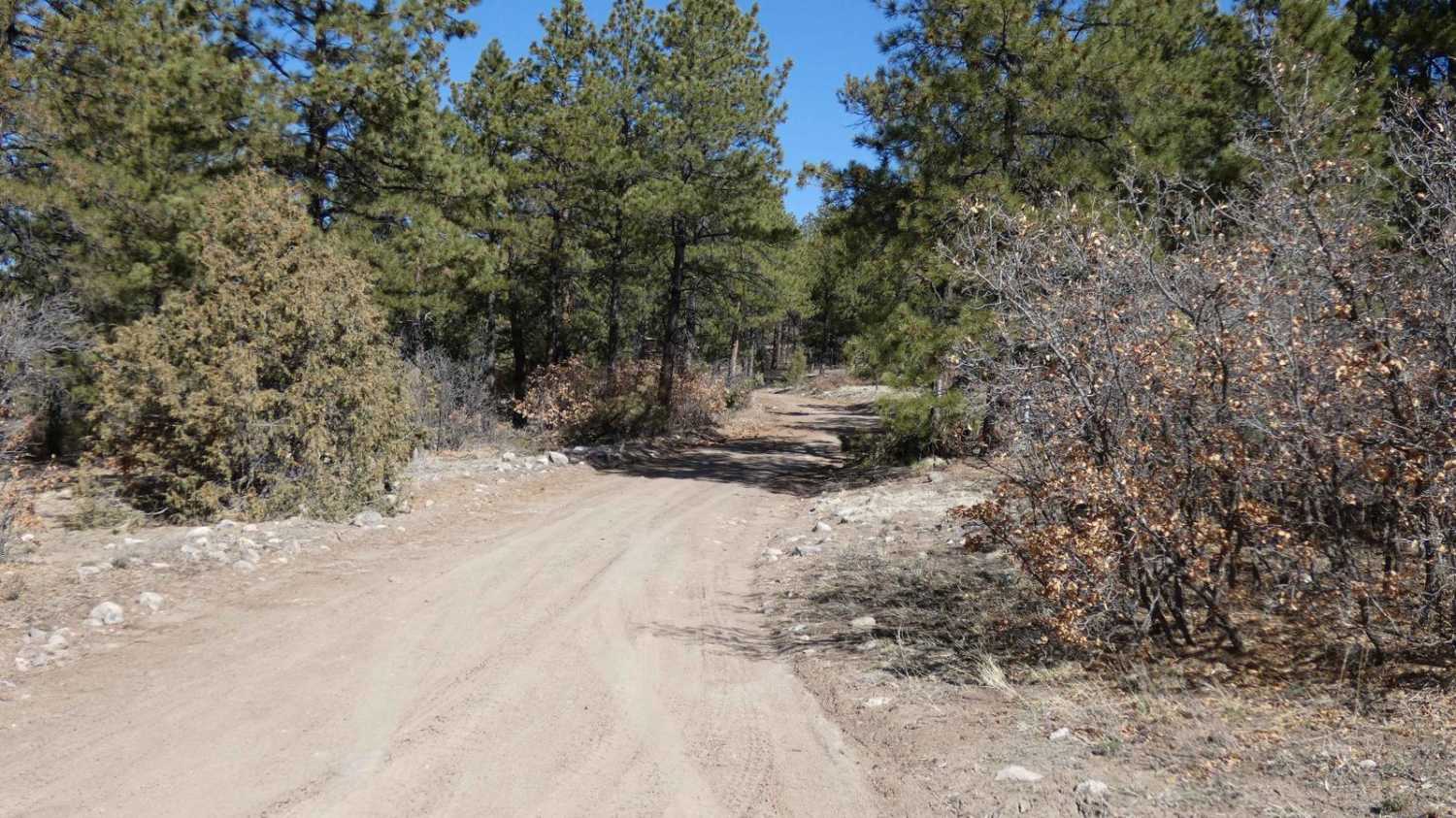
Trail Overview
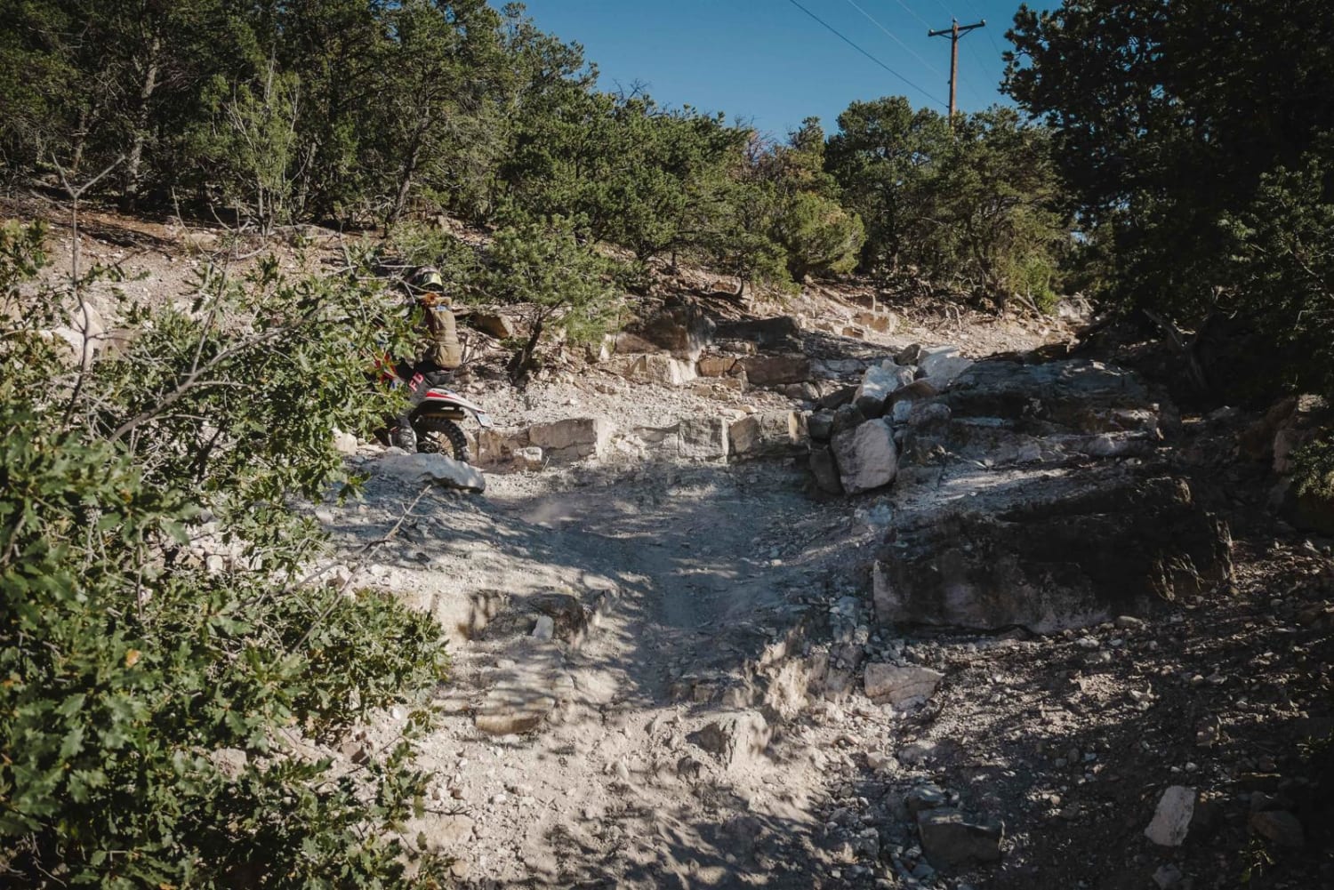
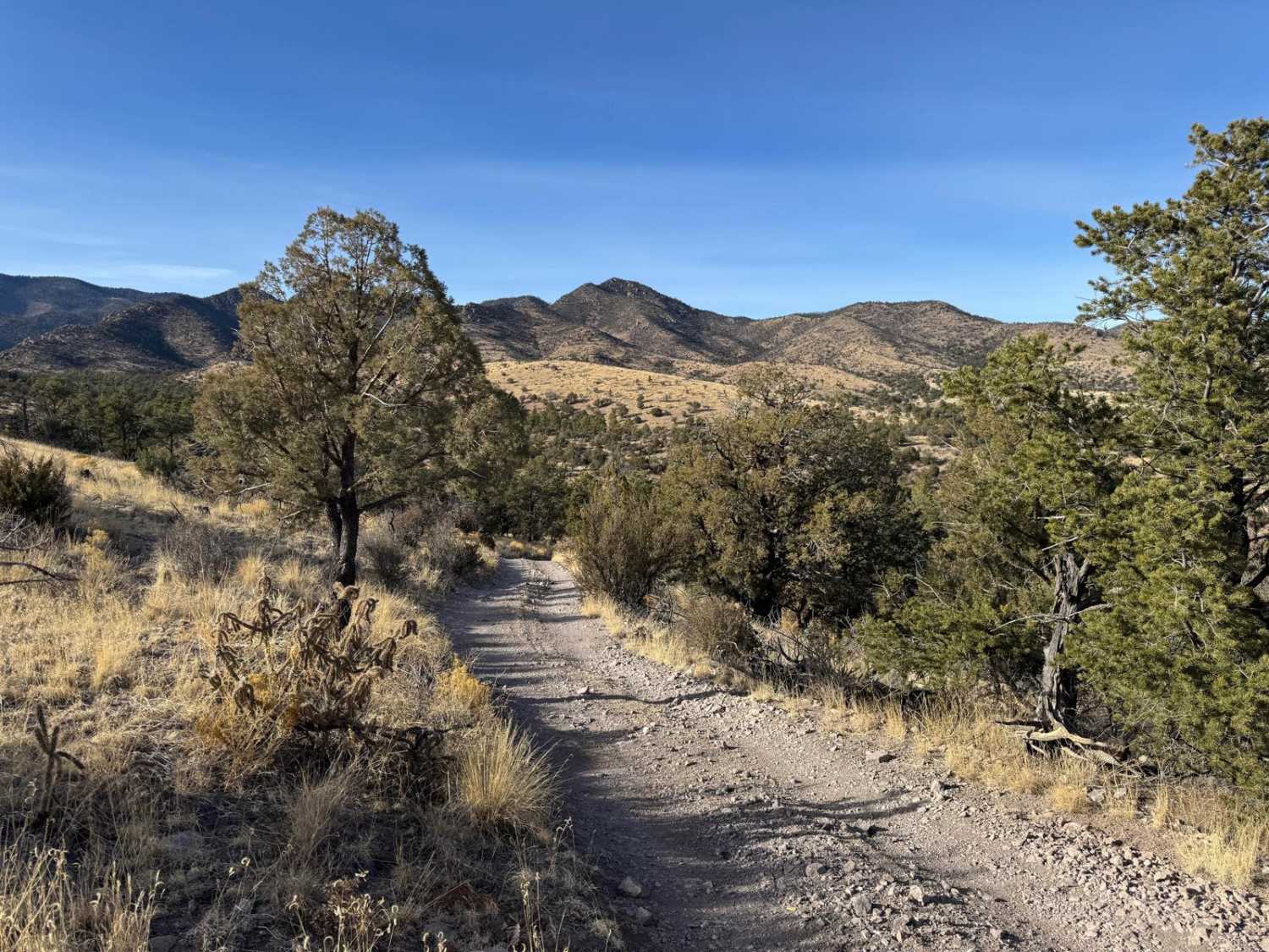
Tusas Ridge runs north from FSR-222 and dead-ends shy 10 miles to the west after a few substantial elevation changes. The primarily dirt two-track trail can be extremely muddy after wet weather, with smaller loose rocks up to 10 inches in size being the only other obstacle. Some minor rutting and mild off-camber sections complement the area, and a few areas that give expansive open views of the nearby valleys. The dense trees and open meadows provide the trail with a diverse opportunity for dispersed camping that is permitted along the entire length. Cell coverage between T-Mobile and AT&T is moderate to strong, and extremely weak with Verizon. Downed trees are common in this area, and a chainsaw is recommended due to the size of the pine.
Photos of Tusas Ridge
Difficulty
Drivers will encounter some loose rocks up to 10 inches in size, along with some rutting that can be up to 12 inches in depth and slightly off-camber sections. Downed trees are the biggest concern in the area, a chainsaw is recommended.
Status Reports
Tusas Ridge can be accessed by the following ride types:
- High-Clearance 4x4
- SUV
- SxS (60")
- ATV (50")
- Dirt Bike
Tusas Ridge Map
Popular Trails
Melquadis Point
The onX Offroad Difference
onX Offroad combines trail photos, descriptions, difficulty ratings, width restrictions, seasonality, and more in a user-friendly interface. Available on all devices, with offline access and full compatibility with CarPlay and Android Auto. Discover what you’re missing today!