Tunnel
Total Miles
2.4
Technical Rating
Best Time
Spring, Fall, Winter
Trail Type
Single Track
Accessible By
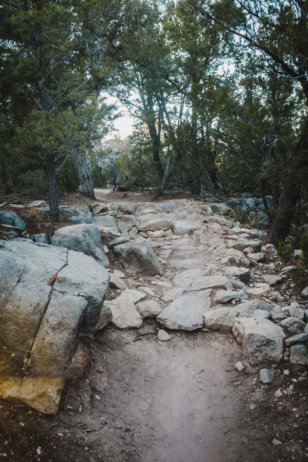
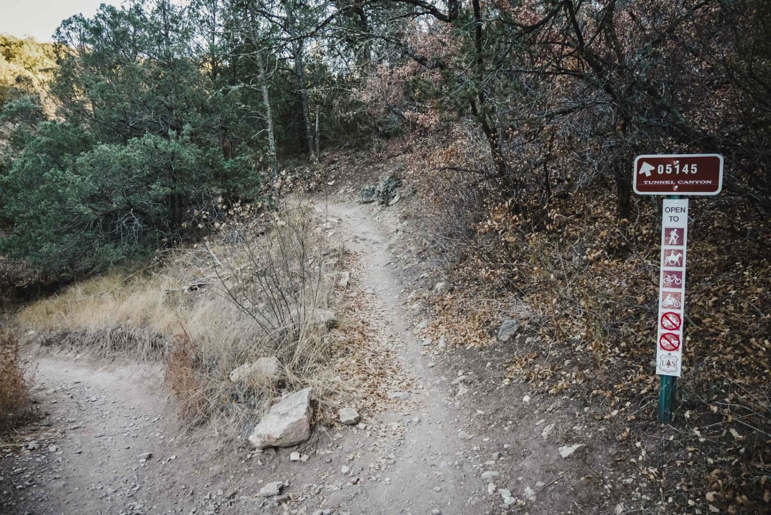
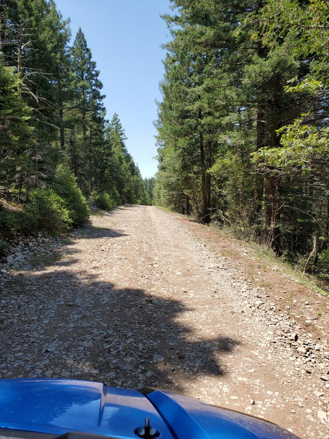
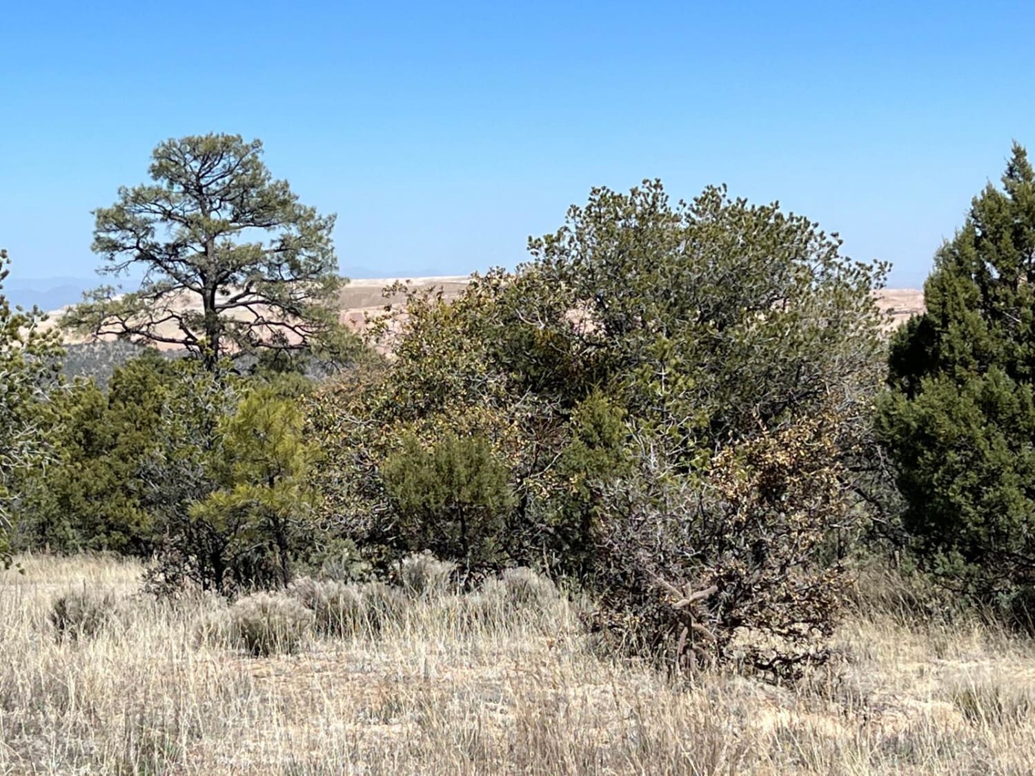
Trail Overview
Tunnel is a 2.6-mile-long single track in the Manzanita Mountain Trail System. It is accessed either from the Tunnel Trailhead or Otero Trailhead off State Highway 337, south of the town of Tijeras, New Mexico. The trail is full of tight curves, switchbacks, and rock obstacles. The south end is pretty fast and flowy and flat, gaining 300 feet in the first mile, then dropping 500 feet over the next 1.6 miles as it heads north. The trail has lots of intermittent small rock ledges that are one- to two-foot-tall blunt ledges and are kind of jarring. There are lots of sections of shelfy narrow flowy trail between the obstacles. Some of the ledges are on the shelfy sections as well, which makes them more difficult. You can make this a loop with Birdhouse, which is more difficult.
Photos of Tunnel
Difficulty
This is an intermediate single track with frequent rock ledge obstacles.
Status Reports
Tunnel can be accessed by the following ride types:
- Dirt Bike
Tunnel Map
Popular Trails
Francis Canyon Pueblito
Frametwister
FS 911 Access
The onX Offroad Difference
onX Offroad combines trail photos, descriptions, difficulty ratings, width restrictions, seasonality, and more in a user-friendly interface. Available on all devices, with offline access and full compatibility with CarPlay and Android Auto. Discover what you’re missing today!