Scenic Drive
Total Miles
13.0
Technical Rating
Best Time
Spring, Summer, Fall, Winter
Trail Type
Full-Width Road
Accessible By
Trail Overview
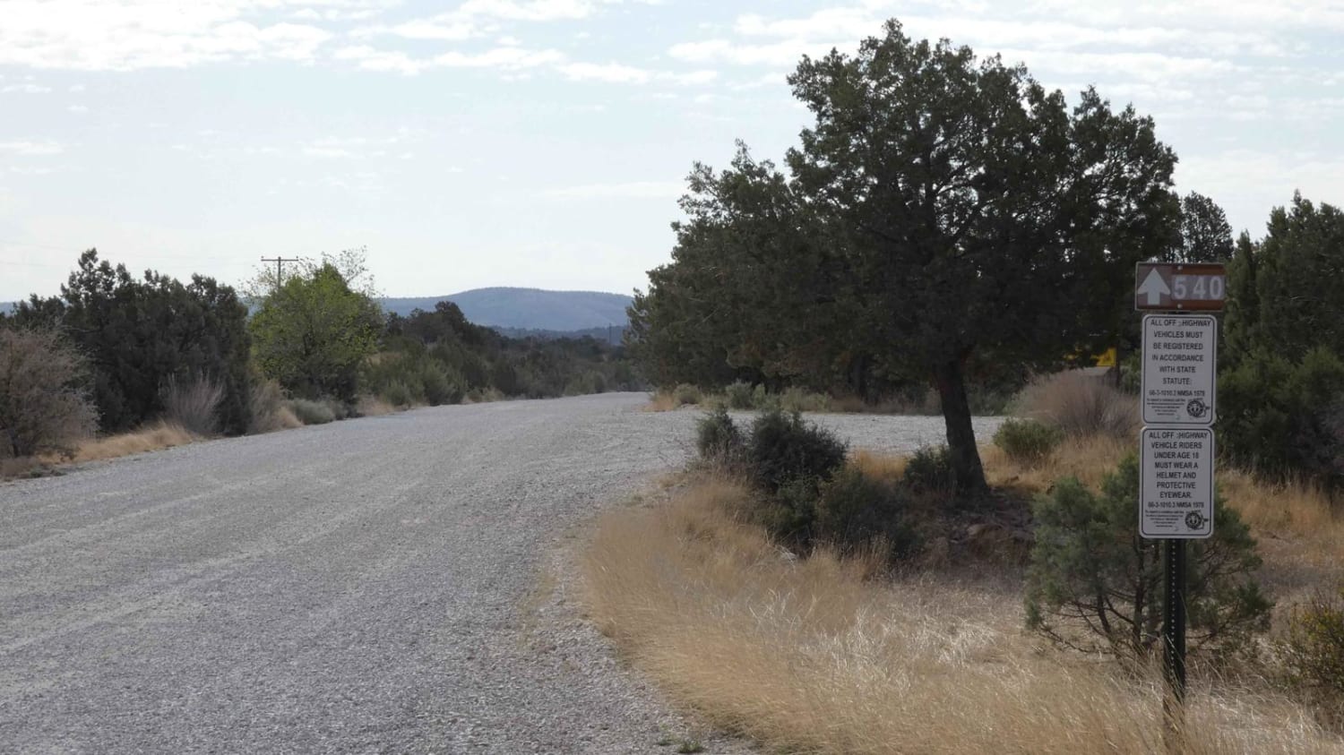
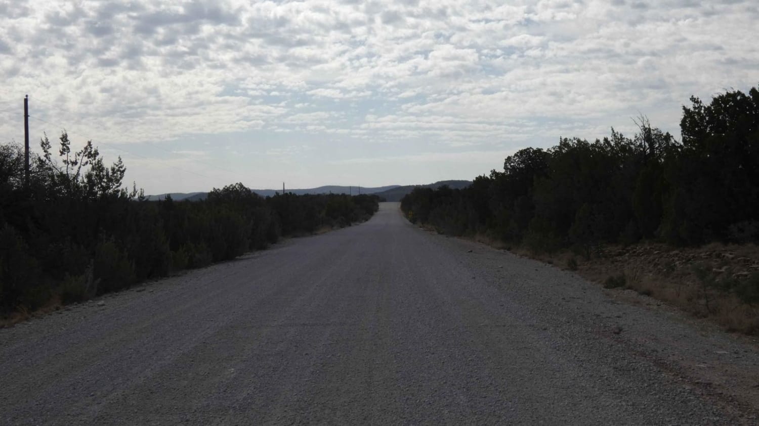
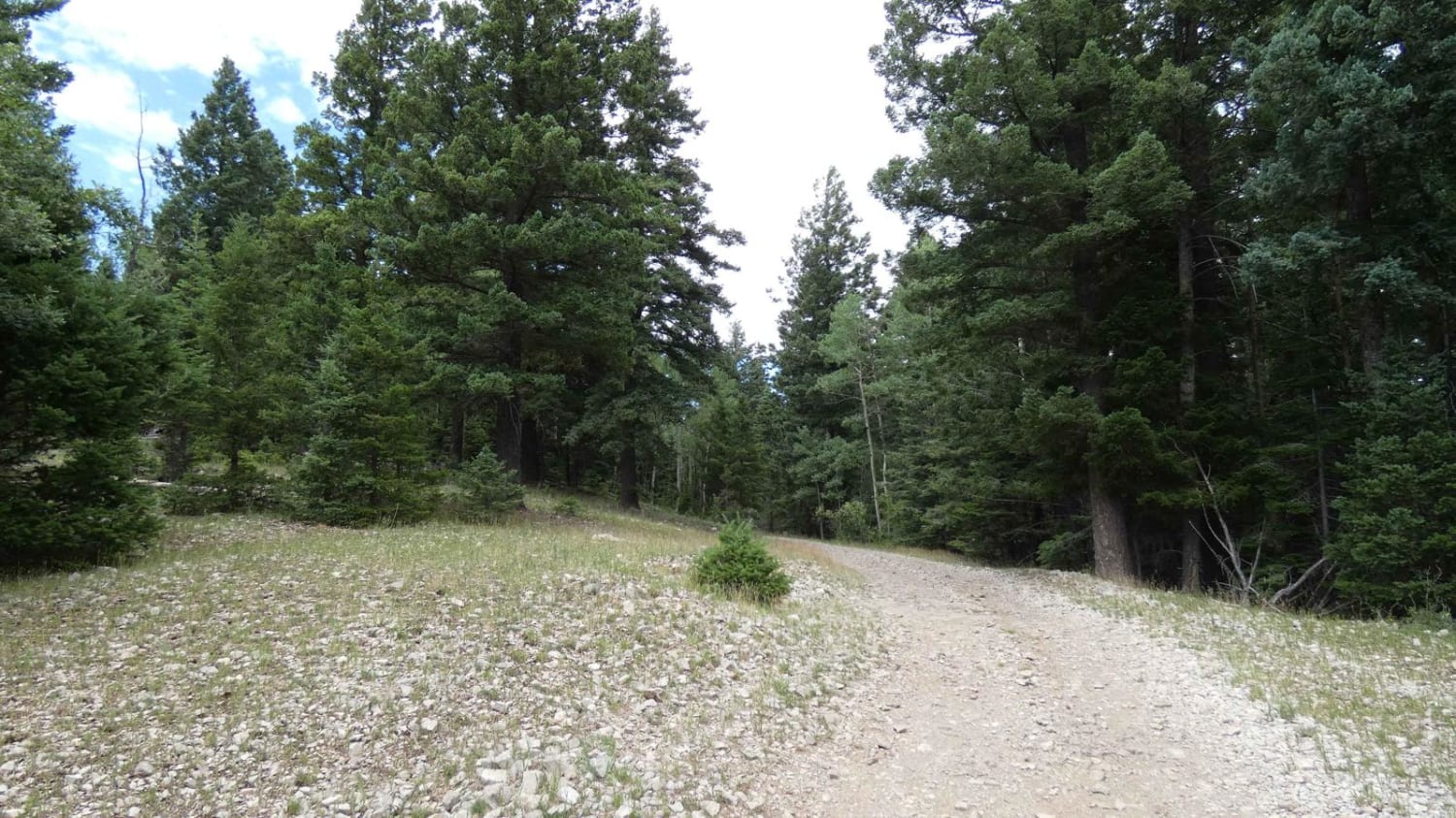
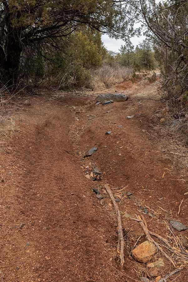
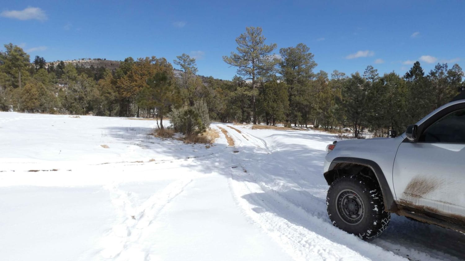
Scenic Drive runs south from CR137/Queens HWY to the southern most portion of the Guadalupe range and begins as a very well maintained gravel road. There is a paved bridge over a low-lying wash early on with the rest of the route being gravel and later changing to a dirt and rock single track trail. The first portion of the road provides spectacular views of the "Rim" with several designated lookout and observation areas with room for two or more vehicles to park. The road is more than two vehicles wide and will be easily traversed by most vehicles. Where Scenic Drive intersects with GRT/FS201: Guadalupe Rim Trail, the road quickly changes to single vehicle wide and becomes a combination of rock and dirt. Rock gardens have obstacles up to 10 inches and some minor rutting that will be easily handled by most 4x4's. The trail ends in a wide open field. Dispersed camping is permitted along Scenic Drive, however, there are few areas that will accommodate and camping is not permitted in the open field at the end. Cell service is strong at the north end of the road, and after the FS201 intersection the signal is weak to none.
Photos of Scenic Drive
Difficulty
Rock gardens and loose rocks up to 10". Minor rutting.
Status Reports
Scenic Drive can be accessed by the following ride types:
- High-Clearance 4x4
- SUV
- SxS (60")
- ATV (50")
- Dirt Bike
Scenic Drive Map
Popular Trails

Barberro Mesa Drop
Wayne Canyon
The onX Offroad Difference
onX Offroad combines trail photos, descriptions, difficulty ratings, width restrictions, seasonality, and more in a user-friendly interface. Available on all devices, with offline access and full compatibility with CarPlay and Android Auto. Discover what you’re missing today!