Burnt Can
Total Miles
5.7
Technical Rating
Best Time
Summer, Fall
Trail Type
Full-Width Road
Accessible By
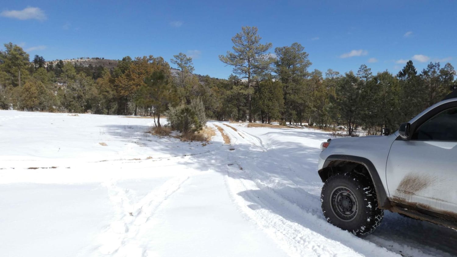
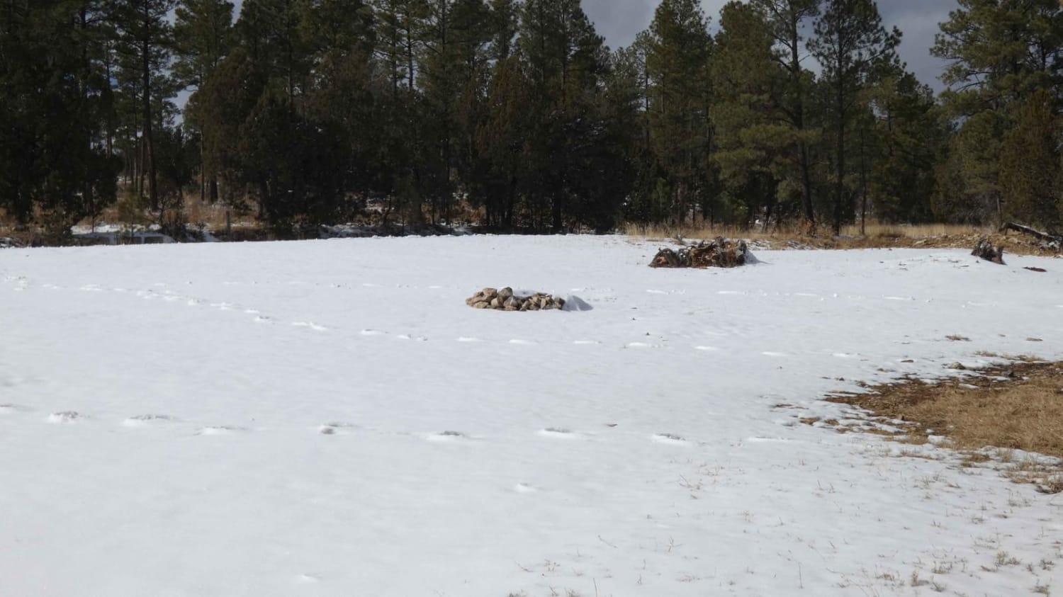
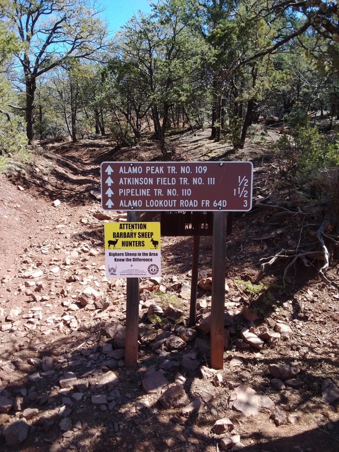
Trail Overview
Burnt Can is an out-and-back trail and starts out as a very easy trail, but does progress to more difficult areas with the potential for several deep water crossings after rains or snow melt. Primarily a rock and dirt surface, with some rutting and slippery muddy areas, the trail is not overly technical and passable by most 4x4s with good AT/MT tires. The trail is mostly single vehicle wide with some light grades and climbs in and out of the numerous creek/river beds that pass back and forth throughout the trail, there is one gate that is passable but posted to keep closed due to the cattle in the area. The trail runs along a portion of the canyon walls and provides some amazing scenery. Several areas with obstacles and rocks over 12", and rutted areas will become worse as the snow melts and the rainy season begins. This trail does not appear to be maintained after roughly 2 miles in and the surface does become more rough and rutted. The creek/river beds are heavy rocky surfaces but are well packed and easy to drive over, however, the climb out of many of these crossings is loose rocks and muddy surfaces that may provide a challenge. Many of these low-lying crossings may see water depths in excess of 12". There are a few areas for dispersed camping towards the entrance of the trail, however, take note of wildlife in the area as mountain lions do frequent this area as well as coyotes and elk. There is very little cell service after the first mile into the trail and some heavy erosion at the end of the trail. The track for this trail was cut short due to a large wash area that was impassable and ends at a sheer face on the side of the creek bed.
Photos of Burnt Can
Difficulty
Obstacles greater than 12". Loose rock and mud surfaces entering and exiting numerous creek/river beds. Potential for water crossings greater than 12". Heavy rutting, is expected to become worse with rain and winter snow melt. Off-camber muddy areas. Trail erosion towards the end of the trail may make it impassable with ledges in excess of 18"
Status Reports
Burnt Can can be accessed by the following ride types:
- High-Clearance 4x4
- SUV
- SxS (60")
- ATV (50")
- Dirt Bike
Burnt Can Map
Popular Trails
Squeeze Canyon
Capulin Forest Road
Westside Road

Upper Diablo Canyon Rd
The onX Offroad Difference
onX Offroad combines trail photos, descriptions, difficulty ratings, width restrictions, seasonality, and more in a user-friendly interface. Available on all devices, with offline access and full compatibility with CarPlay and Android Auto. Discover what you’re missing today!