Muleshoe
Total Miles
9.6
Technical Rating
Best Time
Spring, Summer, Fall, Winter
Trail Type
Full-Width Road
Accessible By
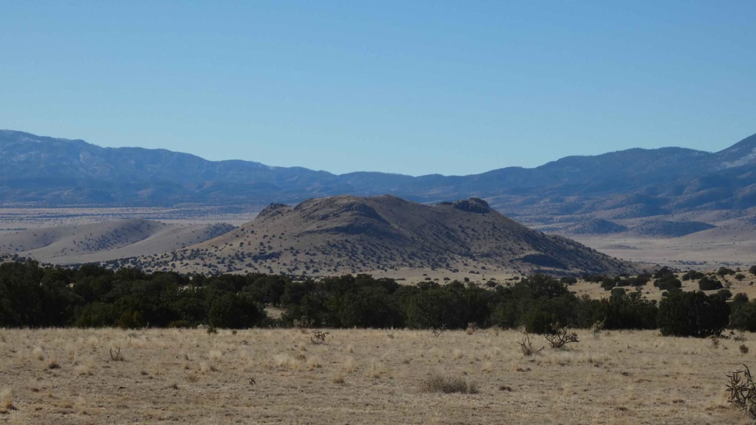
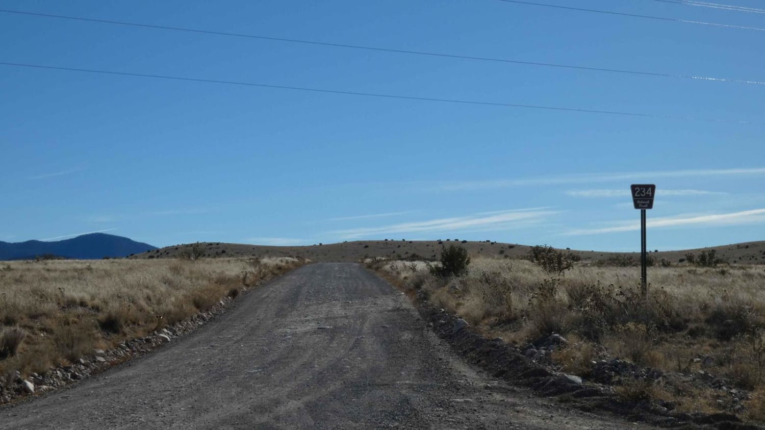
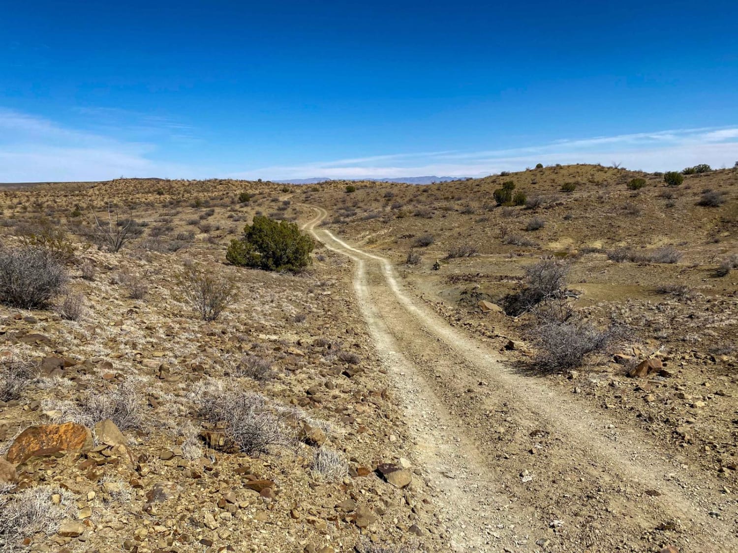
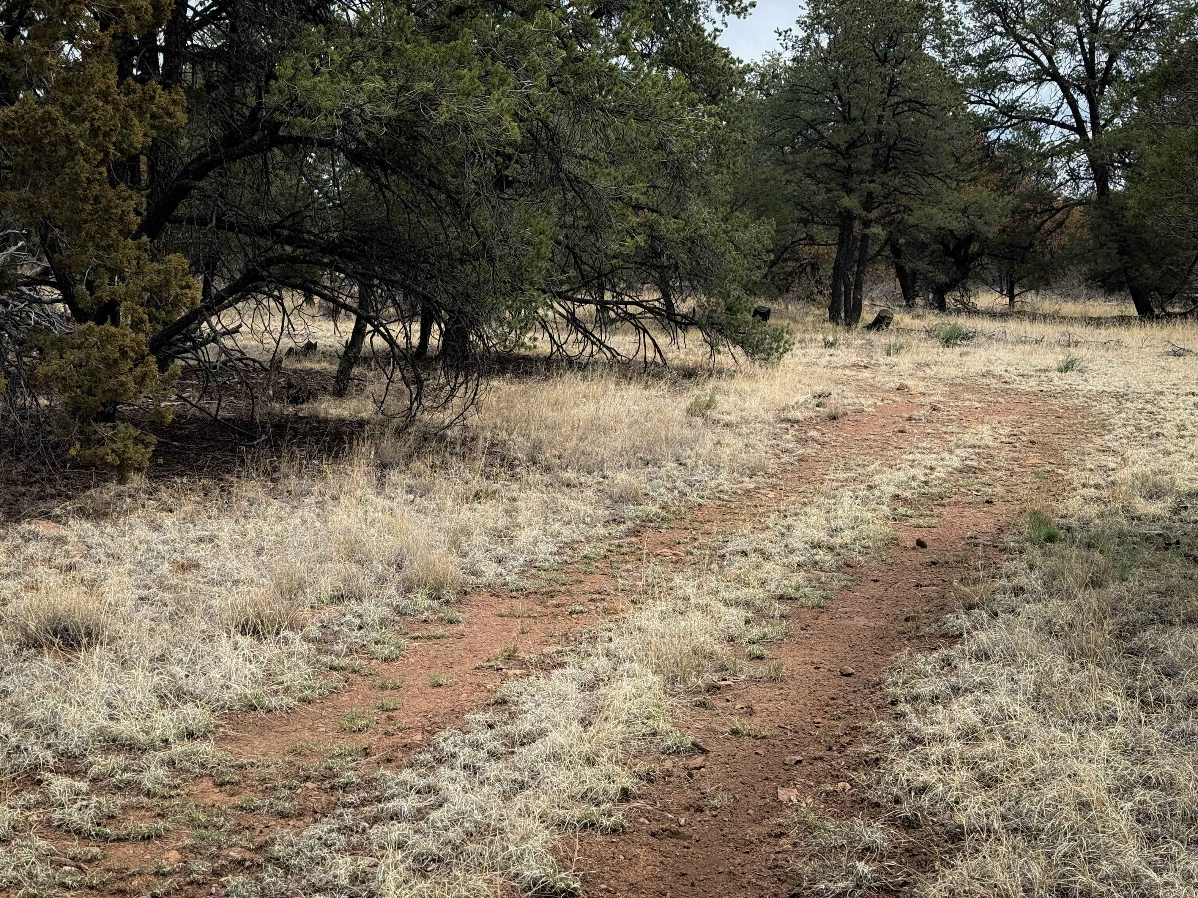
Trail Overview
Muleshoe is one of the longer trails on the west side of the foothills in the area. The track is an overall well-maintained single-vehicle-wide road with room to pass if needed and will be suitable for most vehicles, including high-clearance 2WD. The first 3 miles of the trail cut through private land tracts and has no notable obstacles. Once past the private land areas, drivers can expect some small wash areas and some minor rutting. The views are wide for a majority of the trail and several motorized spurs will provide for more exploring. Cell service is decent for the first portion of the route and gradually drops off towards the south. This is an out-and-back trail that ends at a locked gate on a private land boundary, but drivers can continue further south by turning onto Valley View/FSR 234B.
Photos of Muleshoe
Difficulty
There are no large obstacles along the route. Drivers should be aware of the small washes along the way as they may be soft and muddy after rain or snow.
Status Reports
Muleshoe can be accessed by the following ride types:
- High-Clearance 4x4
- SUV
- SxS (60")
- ATV (50")
- Dirt Bike
Muleshoe Map
Popular Trails
Upper Wills Canyon - FS 9278
Angel Peak Picnic and Campground
The onX Offroad Difference
onX Offroad combines trail photos, descriptions, difficulty ratings, width restrictions, seasonality, and more in a user-friendly interface. Available on all devices, with offline access and full compatibility with CarPlay and Android Auto. Discover what you’re missing today!