Sandwash
Total Miles
5.7
Technical Rating
Best Time
Spring, Summer, Fall, Winter
Trail Type
Full-Width Road
Accessible By
Trail Overview
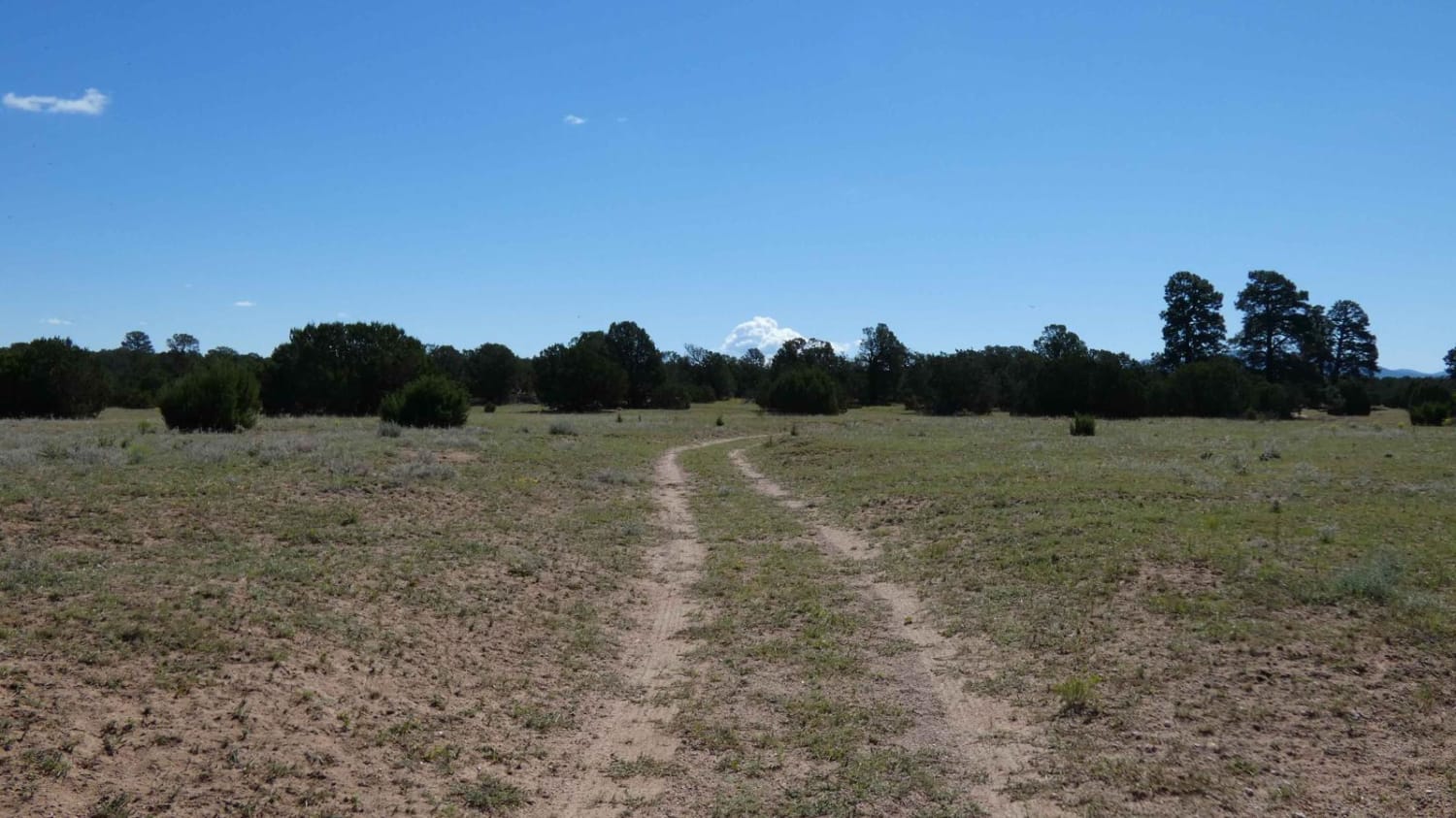
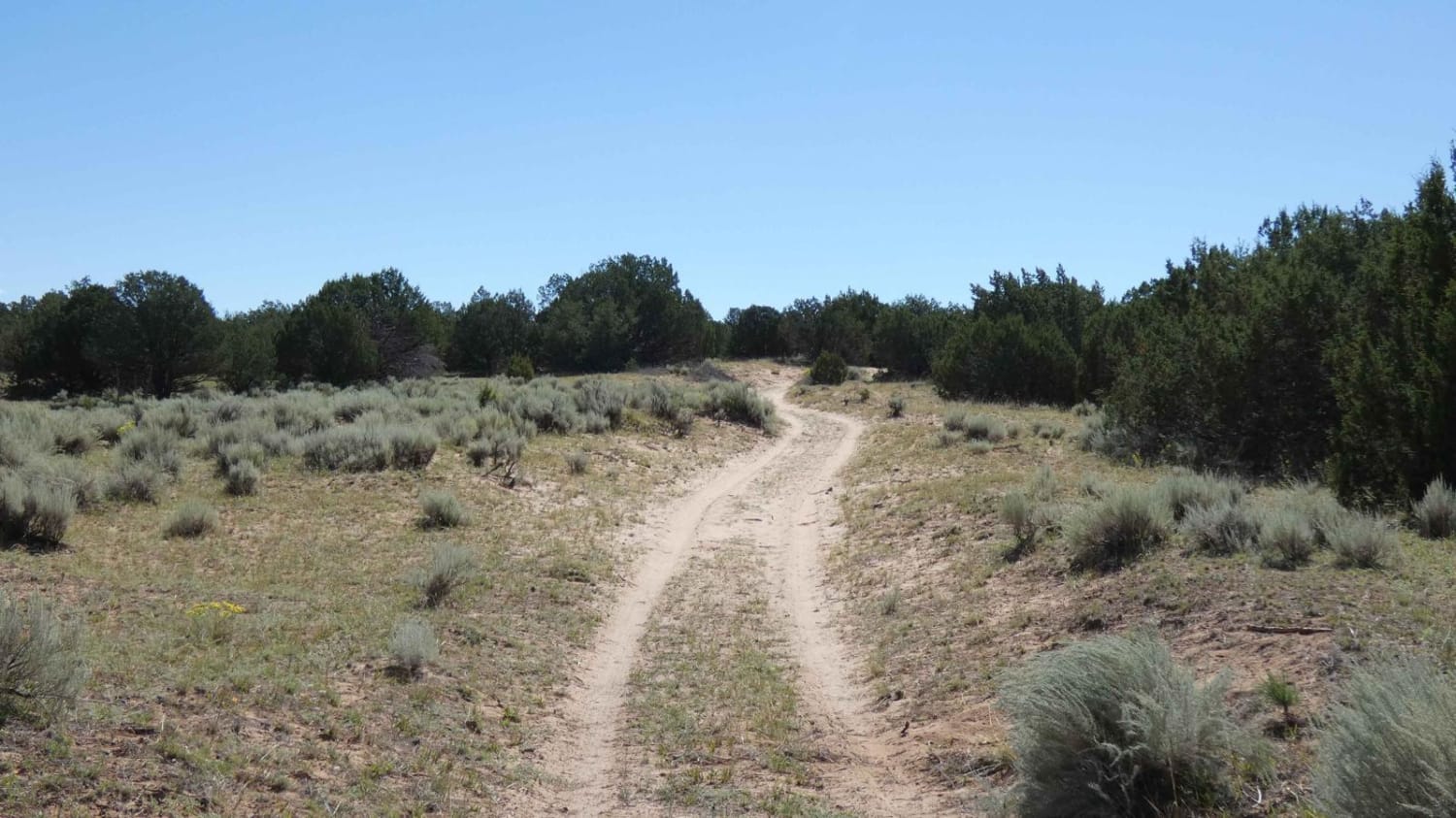
Sandwash is a trail that is exactly as named, beginning as a dirt hard-pack trail that quickly changes to a sandy wash track. As the trail begins to descend, it narrows to single-vehicle-width and changes from dirt to soft sand with one small rock garden hidden in the sand. The trail is easily traversed by most AWD, 4WD, and 4x4 vehicles when dry, however, after rain or snow expect the trail to become more challenging. Some lower sections of the trail may have water crossings up to 12 inches in depth after heavy rain and do show signs of some erosion. Shortly after the halfway portion of the trail, the surface becomes a combination of sandy sections and dirt with some minor rutting. While the track is fairly primitive, it does show some signs of being maintained when necessary with the exception of some brush overgrowth. There are no large obstacles along the route and no steep grades. Cell service is strong along the route with weaker service towards the lower sections of the trail. Dispersed camping is permitted within the last 0.7 miles of the trail and provides open views to the east. Wildlife is present in the area and consists of coyotes, elk, deer, and more. Take note of the weather in the area as rain can move in very quickly and can make the trail difficult to navigate. Like most of the trails in this area, there are several motorized spurs that can be seen but are not open and have been closed by the USFS. Drivers should stay on the trail as marked. Sandwash is a trail that is exactly as named, beginning as a dirt hard-pack trail that quickly changes to a sandy wash track. As the trail begins to descend, it narrows to single-vehicle-width and changes from dirt to soft sand with one small rock garden hidden in the sand. The trail is easily traversed by most AWD, 4WD, and 4x4 vehicles when dry, however, after rain or snow expect the trail to become more challenging. Some lower sections of the trail may have water crossings up to 12 inches in depth after heavy rain and do show signs of some erosion. Shortly after the halfway portion of the trail, the surface becomes a combination of sandy sections and dirt with some minor rutting. While the track is fairly primitive, it does show some signs of being maintained when necessary with the exception of some brush overgrowth. There are no large obstacles along the route and no steep grades. Cell service is strong along the route with weaker service towards the lower sections of the trail. Dispersed camping is permitted within the last 0.7 miles of the trail and provides open views to the east. Wildlife is present in the area and consists of coyotes, elk, deer, and more. Take note of the weather in the area as rain can move in very quickly and can make the trail difficult to navigate. Like most of the trails in this area, there are several motorized spurs that can be seen but are not open and have been closed by the USFS. Drivers should stay on the trail as marked.
Photos of Sandwash
Difficulty
While there are no large obstacles on the trail, the soft sandy wash will be difficult for any vehicles that are not high clearance AWD, 4WD, or 4x4. Expect the entire trail to become difficult to traverse after rain or snow melt. The couple of low-lying areas do have the potential to become water crossings after heavy rain and may be up to 12 inches in depth.
Status Reports
Sandwash can be accessed by the following ride types:
- High-Clearance 4x4
- SUV
- SxS (60")
- ATV (50")
- Dirt Bike
Sandwash Map
Popular Trails

Montoso Peak

Jacquez Canyon Road

Chain of Craters Backcountry Byway
The onX Offroad Difference
onX Offroad combines trail photos, descriptions, difficulty ratings, width restrictions, seasonality, and more in a user-friendly interface. Available on all devices, with offline access and full compatibility with CarPlay and Android Auto. Discover what you’re missing today!


