FS 836 Jacks Peak Road
Total Miles
6.0
Technical Rating
Best Time
Spring, Summer, Fall
Trail Type
Full-Width Road
Accessible By
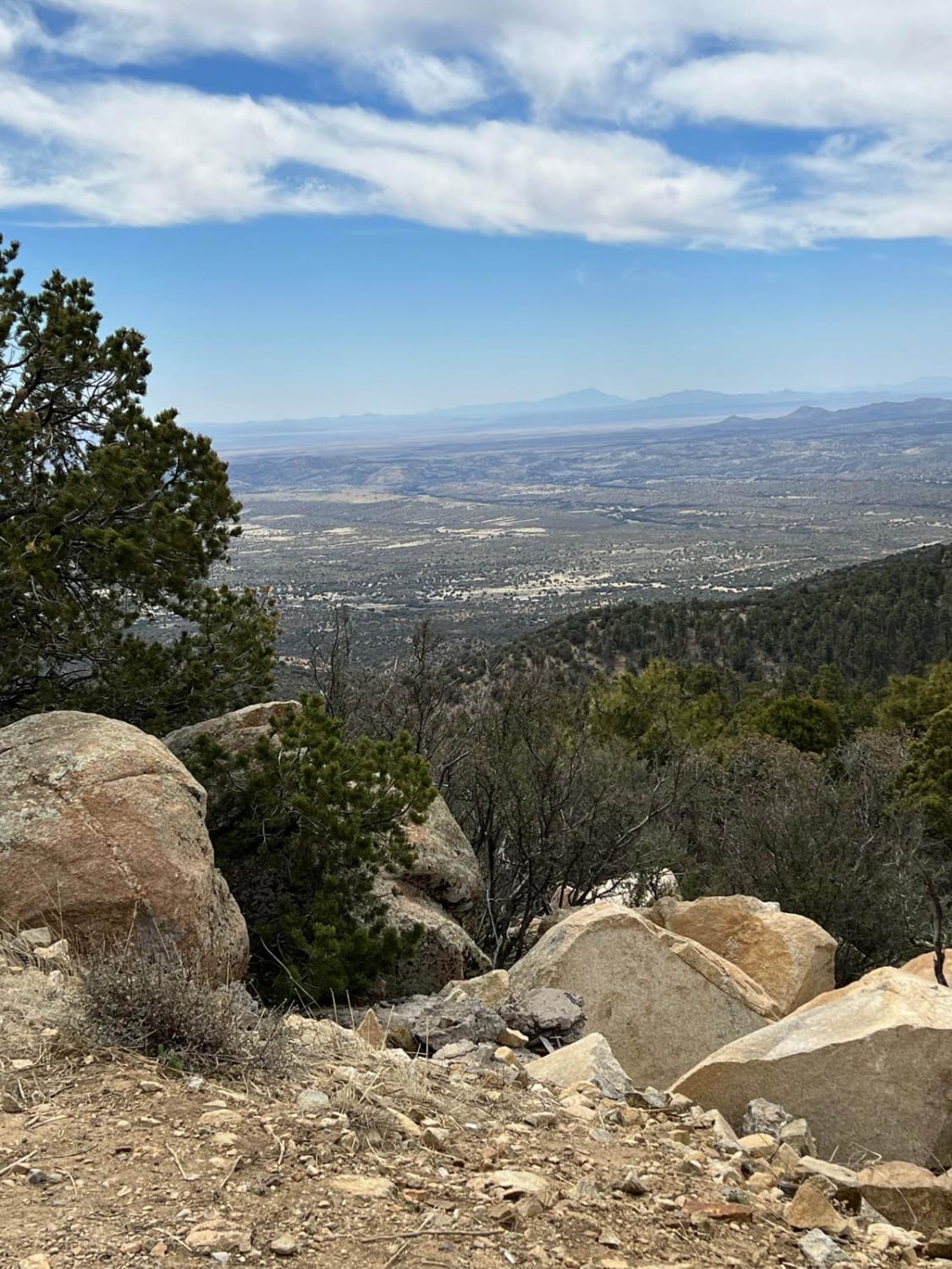
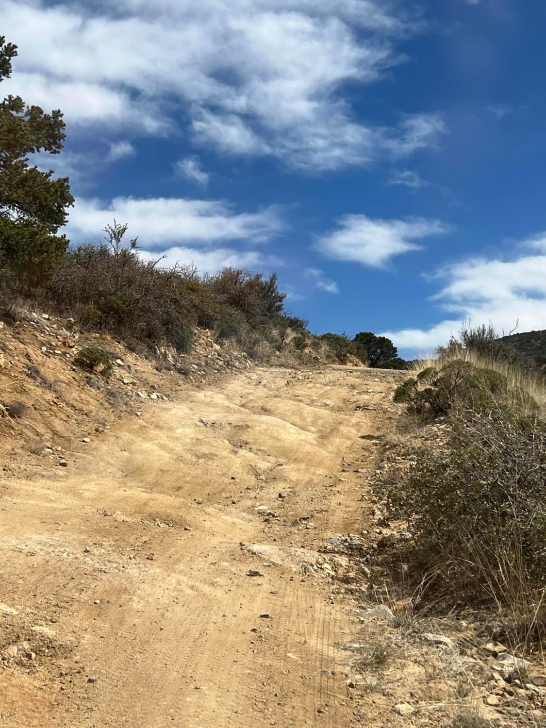
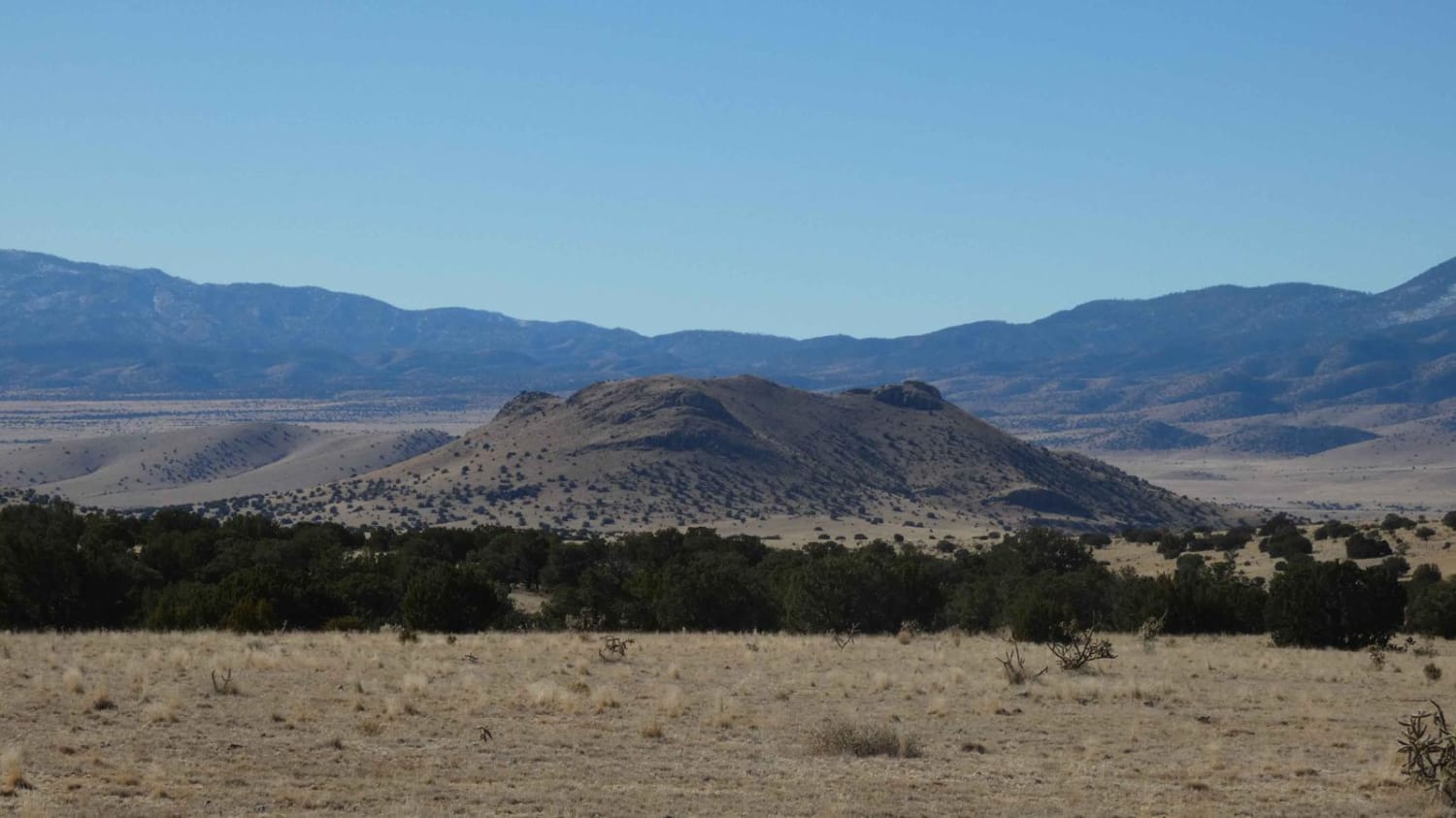
Trail Overview
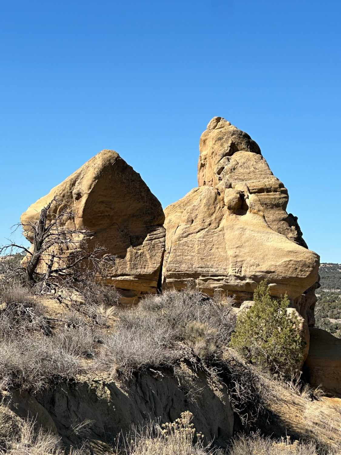
FS 836 leads to Jacks Peak which is the highest point in the area at 7966 feet elevation. Being the highest point in the area, Jacks Peak has numerous communication towers. This road is rough, rocky, and seems longer than it is as you bounce along. Be aware of the numerous worker vehicles of those that service the towers
Photos of FS 836 Jacks Peak Road
Difficulty
This road is rocky and has ruts.
FS 836 Jacks Peak Road can be accessed by the following ride types:
- High-Clearance 4x4
- SUV
- SxS (60")
- ATV (50")
- Dirt Bike
FS 836 Jacks Peak Road Map
Popular Trails

Green Pond - FS 453C
Guaje Connector
Cox Canyon Arch
The onX Offroad Difference
onX Offroad combines trail photos, descriptions, difficulty ratings, width restrictions, seasonality, and more in a user-friendly interface. Available on all devices, with offline access and full compatibility with CarPlay and Android Auto. Discover what you’re missing today!