Corral
Total Miles
2.2
Technical Rating
Best Time
Summer, Spring, Fall
Trail Type
50" Trail
Accessible By
Trail Overview
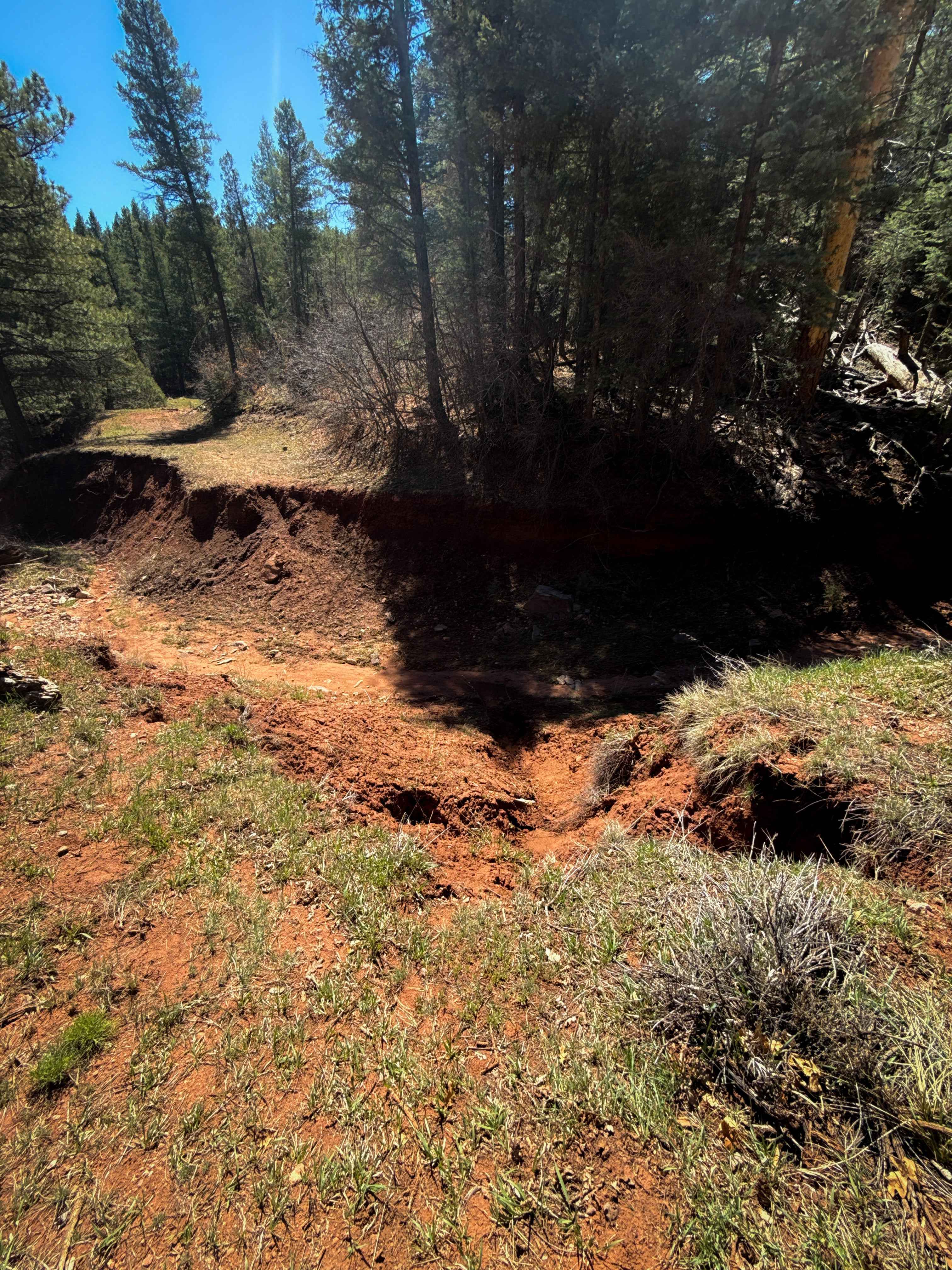
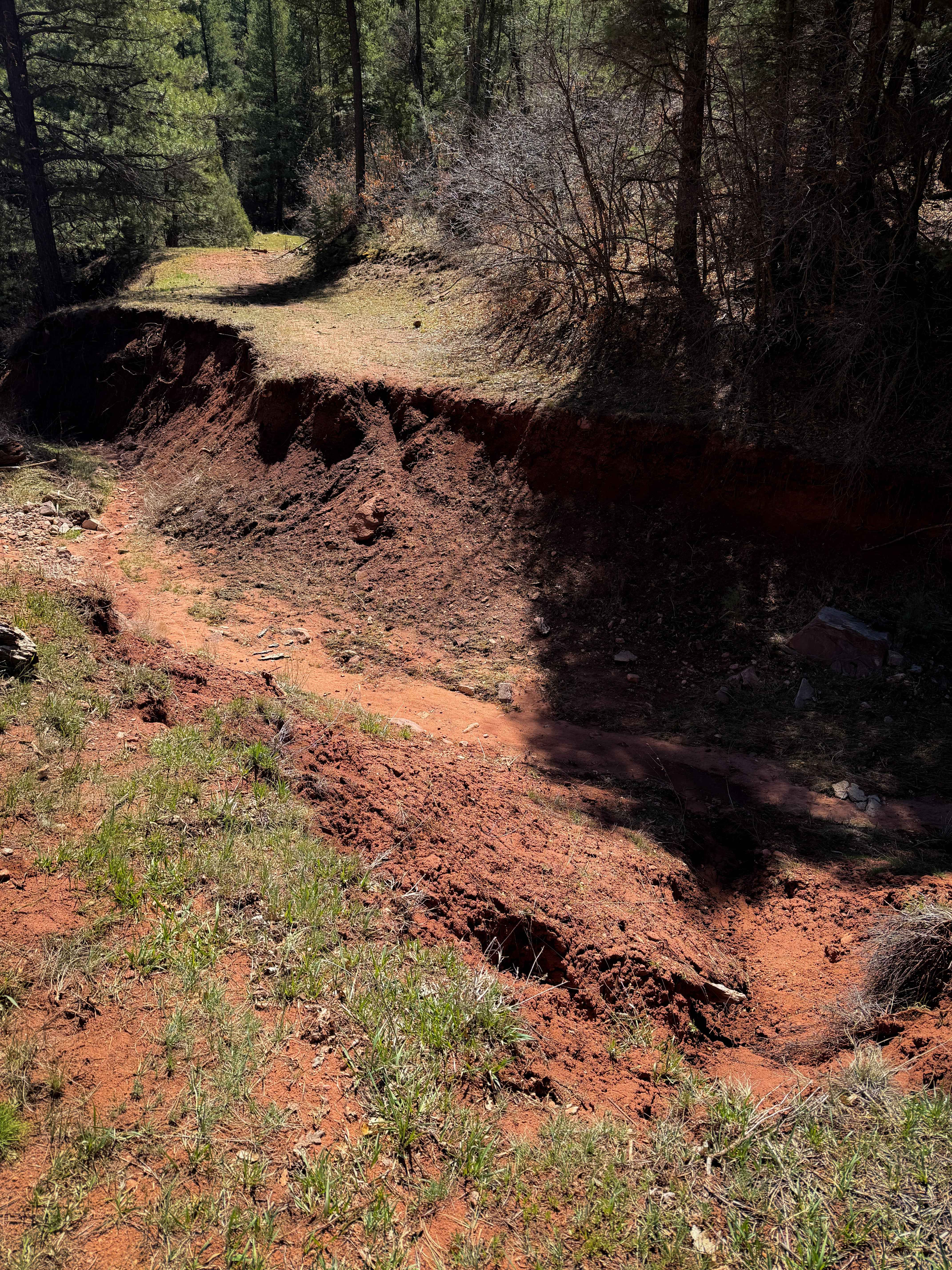
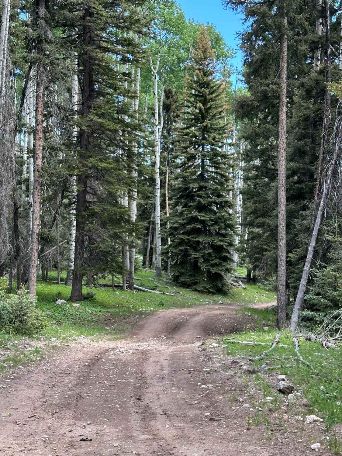
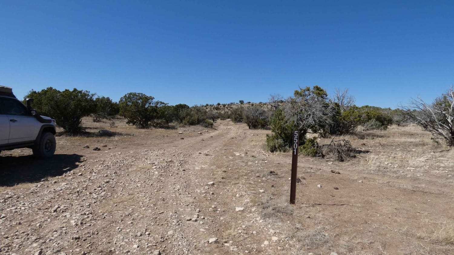
The north end of the Corral ATV Trail starts at a huge washout that nearly makes the trail impassable for anything other than dirt bikes. It is a massive 8-foot deep gorge in the earth with steep walls that would make it very difficult to cross in an ATV. The trail then follows a forested corridor elevated above a ravine. There was a really swampy puddle stretched across the whole trail. The overall route is faint, unmarked, overgrown with grass, with not many tracks to follow, as this area does not look very ridden. It's easy enough to follow as it stays on the shelf above the ravine, but an offline map is very helpful here. There are a couple of small downed logs and branches that were easily ridden over, but several larger trees are down that likely won't get cut any time soon, which would also make it difficult for an ATV to pass. The trail has tight tree sections and a few loose rocks. After a while, it drops down into the ravine, which has more frequent debris from deadfall, and some rockier sections, with a few embedded rock faces. It exits the ravine again, traveling through another grassy tree corridor, and becomes more rutted near the south end, with foot-deep ruts running through the trail. It ends on the south end at an unmarked intersection with Vegitas.
Photos of Corral
Difficulty
Although designated for ATVs, this trail is full of deadfall that would make it difficult for ATVs to get through unless it is cleared. Dirt bikes have a better chance of navigating the many fallen timber. Additionally, there is a massive washout at the north entrance to the trail that may be impassable for ATVs. The moderate difficulty is mostly due to the many logs, which will likely not get cut, as this does not look like a very trafficked area. This trail also requires good route-finding skills. Expect a couple of steep slopes and ruts as well.
Status Reports
Corral can be accessed by the following ride types:
- ATV (50")
- Dirt Bike
Corral Map
Popular Trails
FR 93 Diego Springs

Lower Arroyo de Los Pinos
Bosequecito Desert Crossing
Segrest Draw
The onX Offroad Difference
onX Offroad combines trail photos, descriptions, difficulty ratings, width restrictions, seasonality, and more in a user-friendly interface. Available on all devices, with offline access and full compatibility with CarPlay and Android Auto. Discover what you’re missing today!