Bonita Lake South Fork Road
Total Miles
1.2
Technical Rating
Best Time
Spring, Summer, Fall
Trail Type
Full-Width Road
Accessible By
Trail Overview
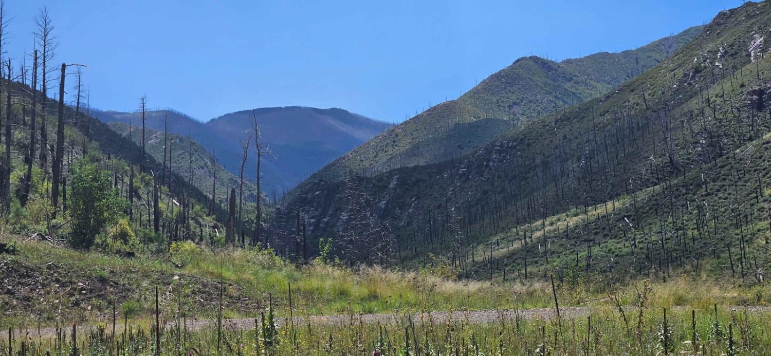
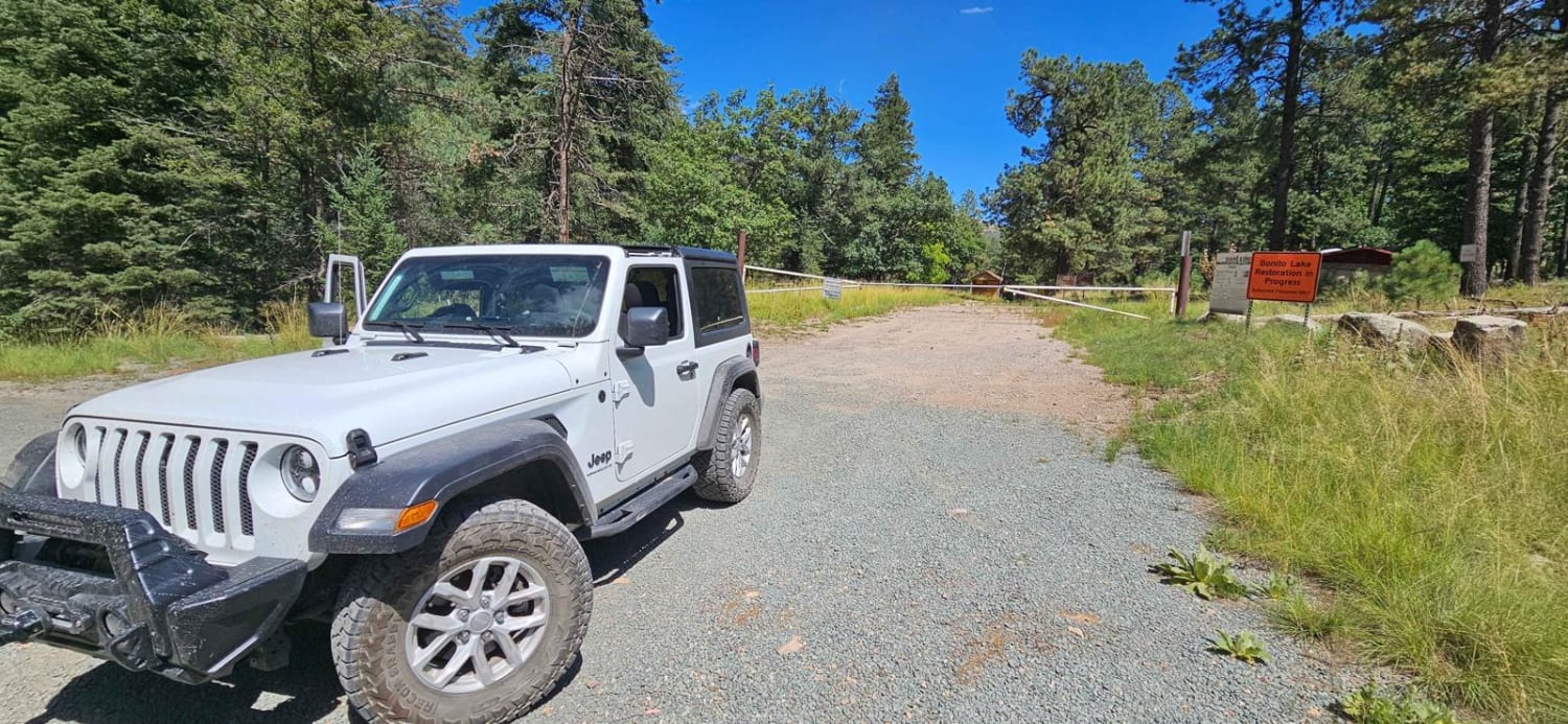
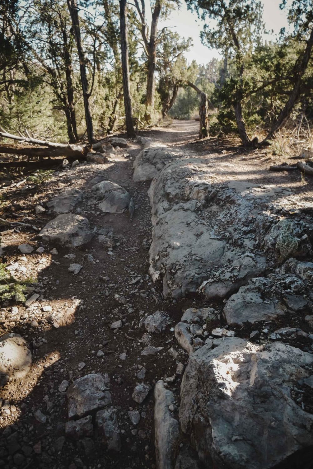
This is Forest Road 107C, a very short run-up to a campground that can be used while the Bonita Lake Campground is closed. This area was affected about 11 years ago by a wildfire and is recovering slowly. The campground does have toilets and water in the bathroom areas. There are no water hookups at the campsites themselves, however. The road is in good condition and there are several areas that could be reached by even a moderately large RV or fifth wheel. There is a dry wash that feeds the south fork of Bonita Creek that runs through the campground, so be aware of this when planning your campsite. The South Fork and Bluefront hiking trails start at the parking area where the road ends. These lead into the White Mountain Wilderness area.
Photos of Bonita Lake South Fork Road
Difficulty
This is a well-maintained road leading to camping and hiking areas.
Status Reports
Bonita Lake South Fork Road can be accessed by the following ride types:
- High-Clearance 4x4
- SUV
- SxS (60")
- ATV (50")
- Dirt Bike
Bonita Lake South Fork Road Map
Popular Trails

Corral Jumper
Hidden Trail
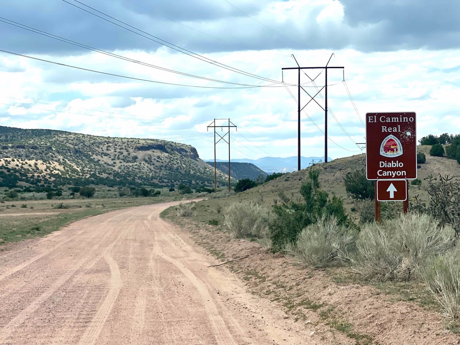
El Camino Real y Diablo Canyon Trail
The onX Offroad Difference
onX Offroad combines trail photos, descriptions, difficulty ratings, width restrictions, seasonality, and more in a user-friendly interface. Available on all devices, with offline access and full compatibility with CarPlay and Android Auto. Discover what you’re missing today!