Blue Ribbon
Total Miles
2.4
Technical Rating
Best Time
Spring, Winter, Fall
Trail Type
Single Track
Accessible By
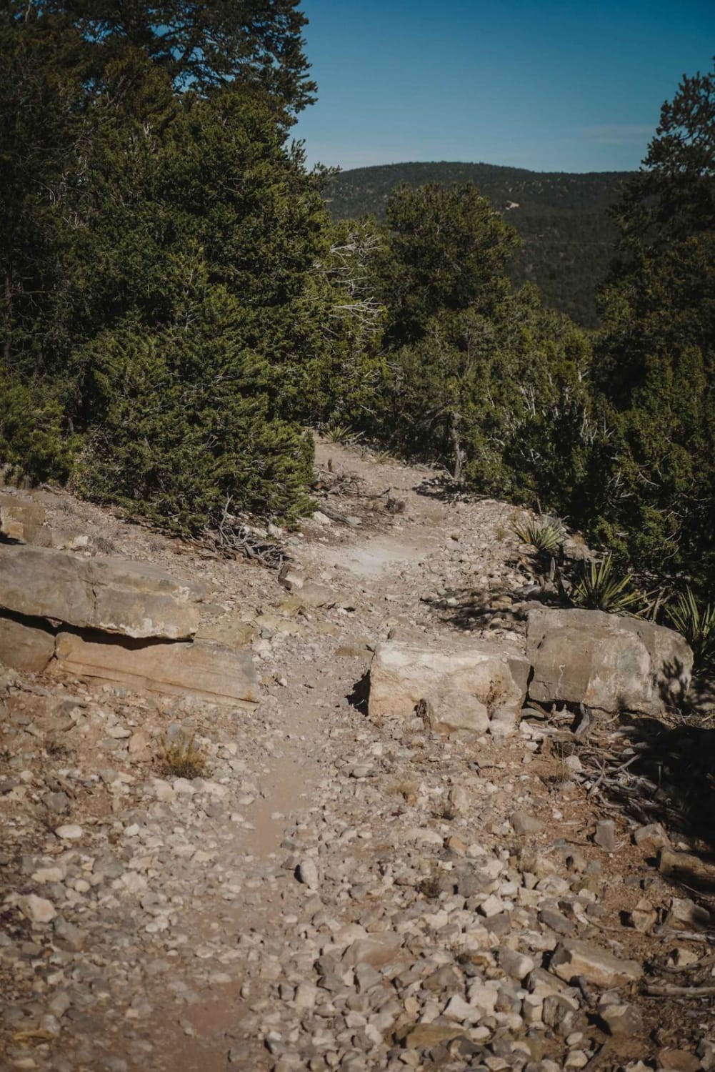
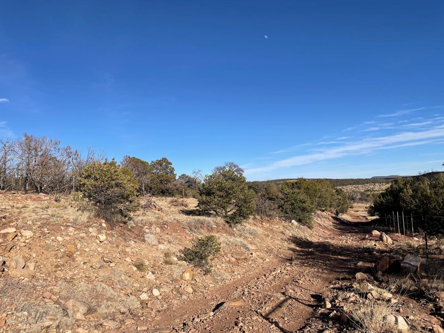
Trail Overview
The Blue Ribbon single track is a 2.5-mile trail in the Manzanita Mountain Trail System that starts on the north end near the Otero Trailhead. The south end starts off of 106 Road. Going south to north, it starts on top of a ridgeline and drops off the side of the hill with some side-hilling and several tighter switchbacks. There are several rock ledges, one of which has a big pinch in it that you have to go through. The rock ledges are a couple of feet high and there are often several in a row of intermediate difficulty. They are wider and ramped, so you can pick a good line. The trail is a pretty bumpy rocky surface the whole way with lots of loose chunky rock. The trail goes through a cool mix of forest and desert which is pretty scenic. It's a white chalky dirt that contrasts with lots of green pinyon pine and yucca. There is a nice view of the next mountain over as you are riding north. You'll drop 650 feet elevation as you head north. There are a couple of big switchbacks when you get to the bottom of the mesa and head towards Otero Canyon.
Photos of Blue Ribbon

Difficulty
This is an intermediate single track with several rock ledge obstacles and tight switchbacks.
Status Reports
Blue Ribbon can be accessed by the following ride types:
- Dirt Bike
Blue Ribbon Map
Popular Trails
Coyote Canyon
Valle Grande Edge
FS 23/FS 137 Abiquiu to El Rito

The Causeway
The onX Offroad Difference
onX Offroad combines trail photos, descriptions, difficulty ratings, width restrictions, seasonality, and more in a user-friendly interface. Available on all devices, with offline access and full compatibility with CarPlay and Android Auto. Discover what you’re missing today!