Bloomfield Pal Tour
Total Miles
8.7
Technical Rating
Best Time
Spring, Summer, Fall, Winter
Trail Type
60" Trail
Accessible By
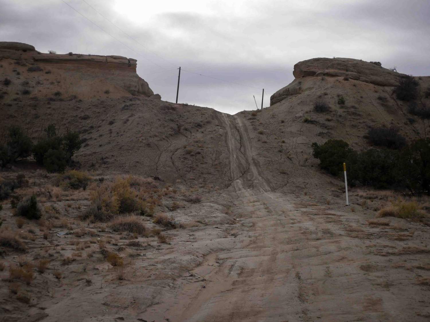
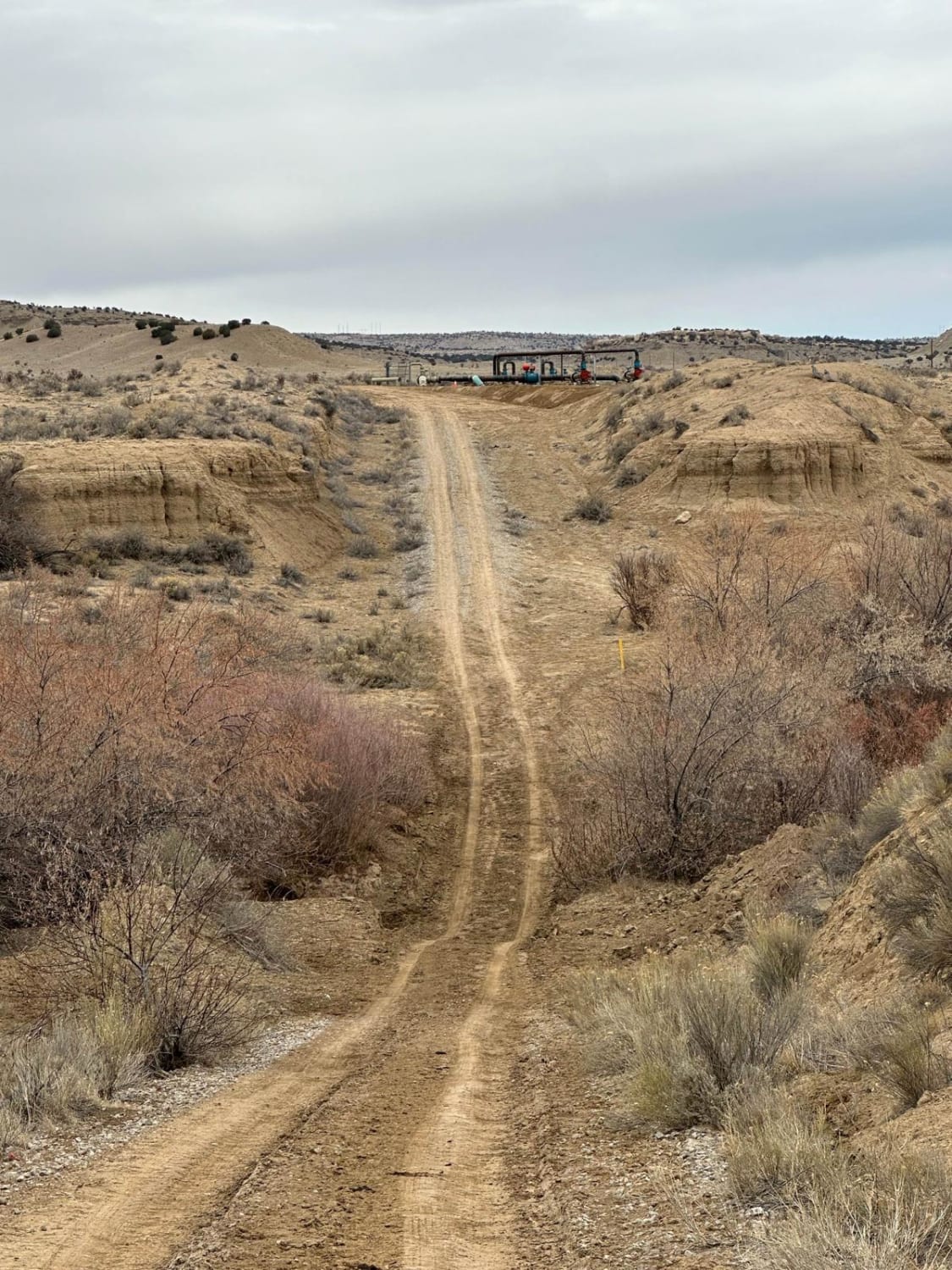
Trail Overview
This is mostly an oil well and natural gas line access road that is also used as a trail. It winds through a flat desert terrain, on primitive roads that have shallow ruts and overgrown bushes, and lots of intersections. Portions of the trail are on full-width oil well roads in between the more trail-like sections. You'll ride past several active oil wells. It also crosses State Roads 173 and 575, so be cautious when crossing these busy paved roads. Some sections are narrower and sandy in more of a wash, with dips into wash crossings. There's a small climb in the west half that goes up between some dirt bluffs onto a main road. It ends at State Highway 550, which you can cross and continue onto a segment of wash trail.
Photos of Bloomfield Pal Tour

Difficulty
Much of this trail is maintained oil well roads, but part of it is also more primitive and narrower dirt roads. 4WD is recommended for the softer sand and clay dirt sections and high clearance is needed for the ruts.
Status Reports
Bloomfield Pal Tour can be accessed by the following ride types:
- SxS (60")
- ATV (50")
- Dirt Bike
Bloomfield Pal Tour Map
Popular Trails

Hang Glider Road
North Pipeline Road

El Puertecito Pass
Hood Ornament
The onX Offroad Difference
onX Offroad combines trail photos, descriptions, difficulty ratings, width restrictions, seasonality, and more in a user-friendly interface. Available on all devices, with offline access and full compatibility with CarPlay and Android Auto. Discover what you’re missing today!