North Pipeline Road
Total Miles
7.4
Technical Rating
Best Time
Spring, Summer, Fall, Winter
Trail Type
Full-Width Road
Accessible By
Trail Overview
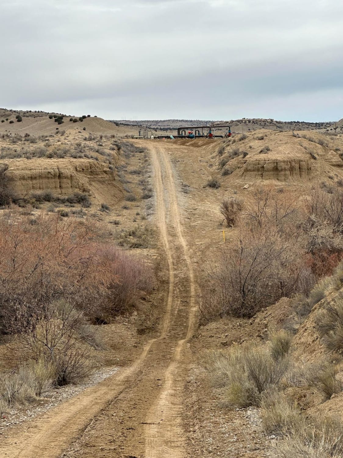
This route connects the Old State Highway 279 off Highway 550 with South Pipeline Road, or Backway to Cabezon Peak. There is one major obstacle through the Rio Puerco Arroyo at the northern end. The water can run deep through the narrow, steep drainage and both sides can be slick.
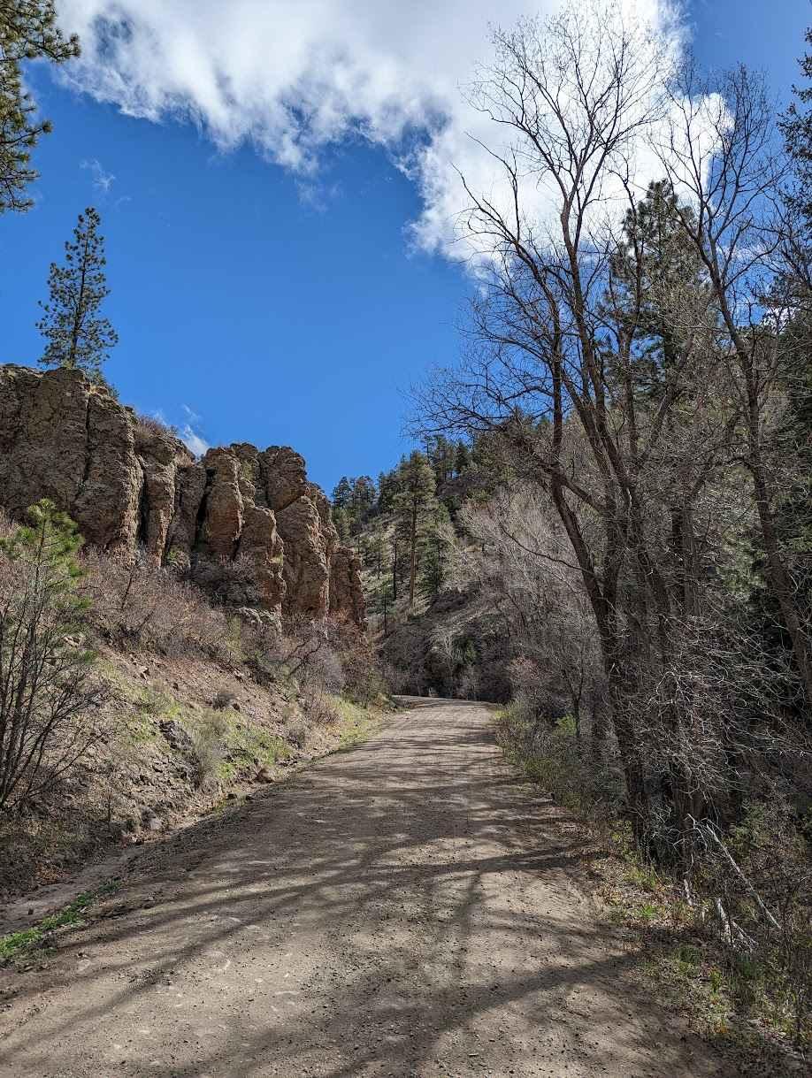
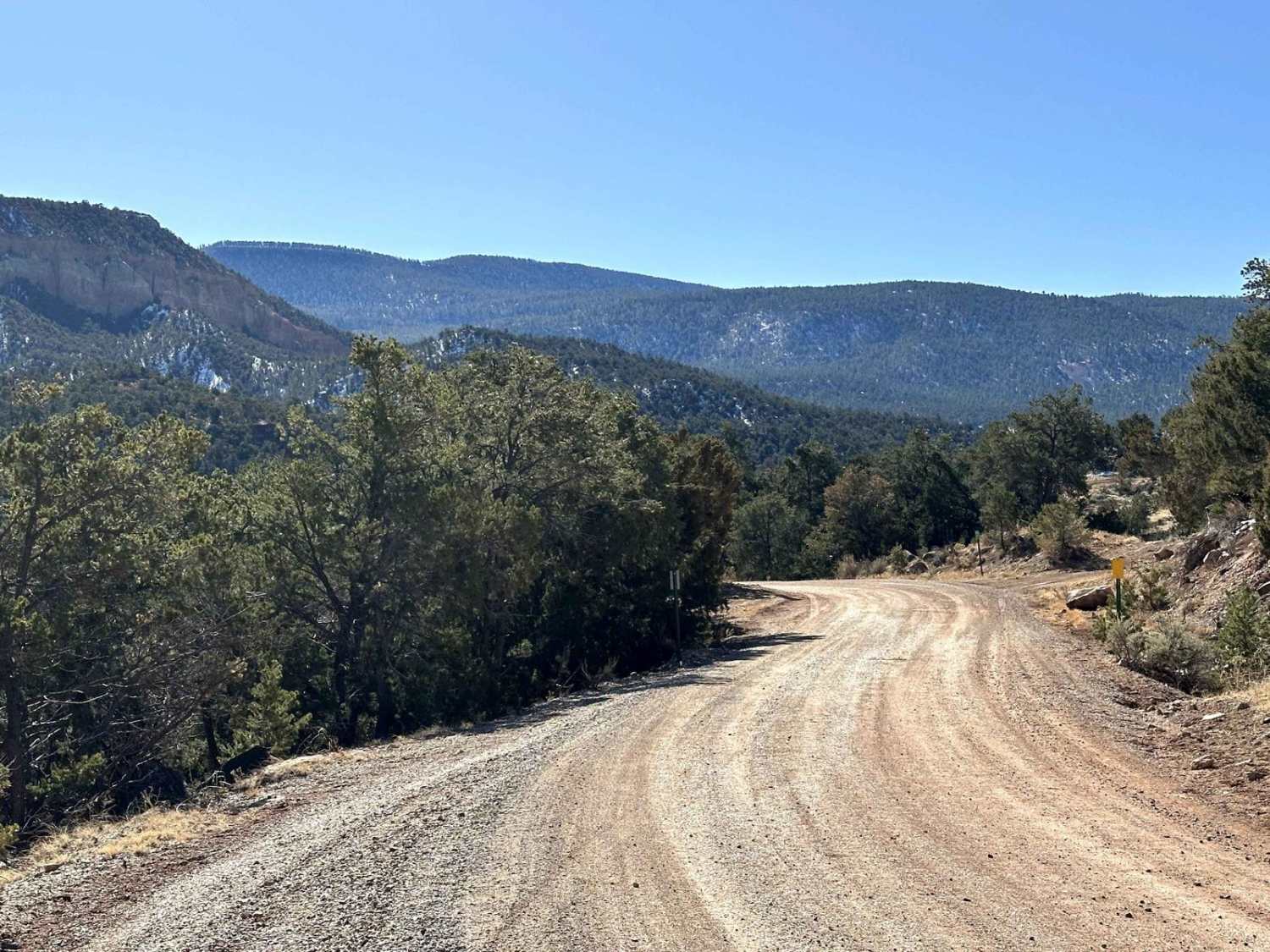
Photos of North Pipeline Road
Difficulty
There are numerous ruts and erosion issues.
History
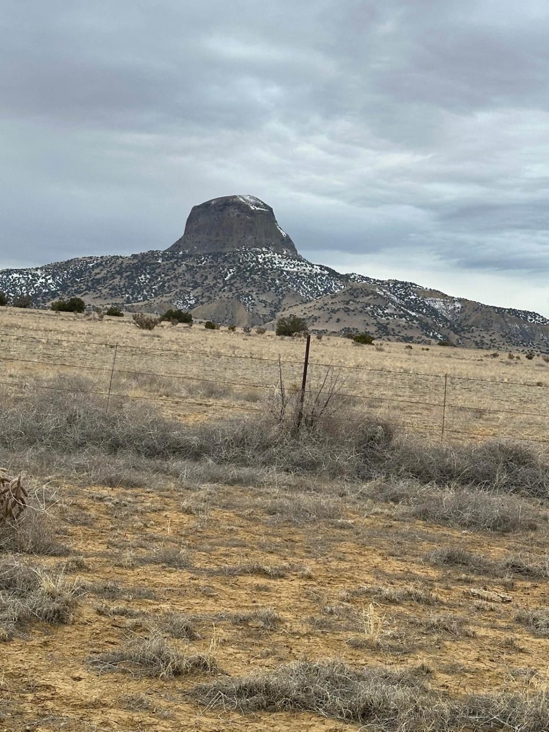
The spectacular Cabezon Peak rises prominently to the west of this route. Cabezon Peak is a large volcanic plug rising to 7,785 feet in elevation, and nearly 2,000 feet above the floor of the Rio Puerco Valley.
Status Reports
North Pipeline Road can be accessed by the following ride types:
- High-Clearance 4x4
- SUV
- SxS (60")
- ATV (50")
- Dirt Bike
North Pipeline Road Map
Popular Trails
Rock Spring
Upper Wills Canyon - FS 9278
FS 222 Las Tablas to Tres Piedras
The onX Offroad Difference
onX Offroad combines trail photos, descriptions, difficulty ratings, width restrictions, seasonality, and more in a user-friendly interface. Available on all devices, with offline access and full compatibility with CarPlay and Android Auto. Discover what you’re missing today!