Acrey Allot
Total Miles
5.9
Technical Rating
Best Time
Spring, Summer, Fall, Winter
Trail Type
Full-Width Road
Accessible By
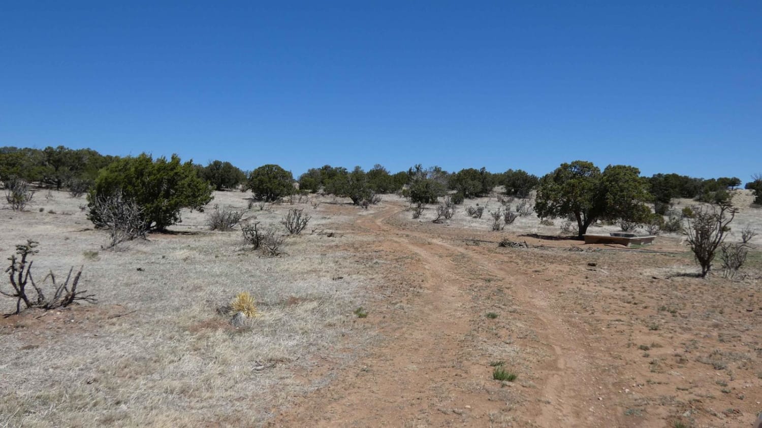
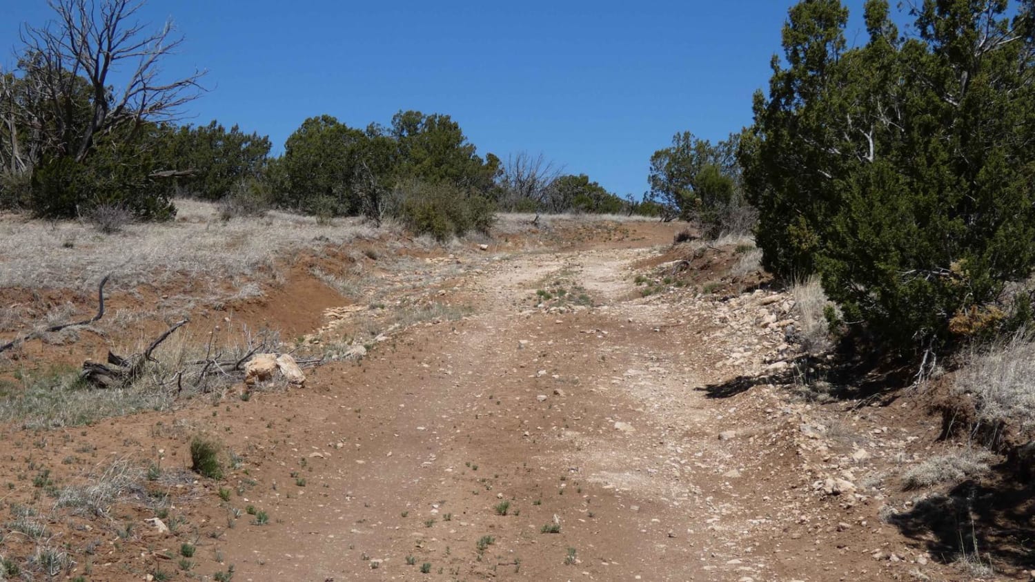
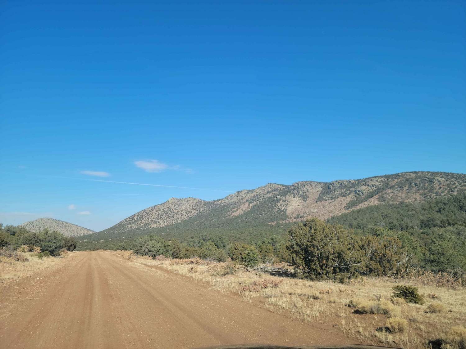
Trail Overview
Acrey Allot is a spur off Storage/FS313 and is very similar in terrain and features. The trail begins with a primarily dirt surface, later becoming more rocky. There are multiple dispersed camping areas at the lower elevation of the trail where the foliage and brush is less dense. This is an out and back trail that is single vehicle wide with room to pass. There is minor rutting early on in a few places, but nothing substantial. The trail does become a more rocky surface with some rock gardens, but no obstacles larger than 10" and will be easily traversed by 4x4 vehicles and some AWDs. Views are wide open and substantial towards the end of the trail and cell service is stronger once out of the lower canyon area. The trail ends at a private property boundary that is on BLM land. There is a single motorized spur approximately 1.5 miles before the end that runs north into BLM land. There are also hiking trails along this route, however, they are not marked or labeled and are difficult to see from the roadway.
Photos of Acrey Allot
Difficulty
You will come across small rock gardens, minor rutting and larger loose rocks.
Status Reports
Acrey Allot can be accessed by the following ride types:
- High-Clearance 4x4
- SUV
- SxS (60")
- ATV (50")
- Dirt Bike
Acrey Allot Map
Popular Trails
Cougar Mountain Road

FR 316 Coyote Canyon

Skinny Canyon

Arroyo de los Diegos
The onX Offroad Difference
onX Offroad combines trail photos, descriptions, difficulty ratings, width restrictions, seasonality, and more in a user-friendly interface. Available on all devices, with offline access and full compatibility with CarPlay and Android Auto. Discover what you’re missing today!