Caverly Road to Devil's Den Road
Total Miles
3.9
Technical Rating
Best Time
Spring, Summer, Fall
Trail Type
Full-Width Road
Accessible By
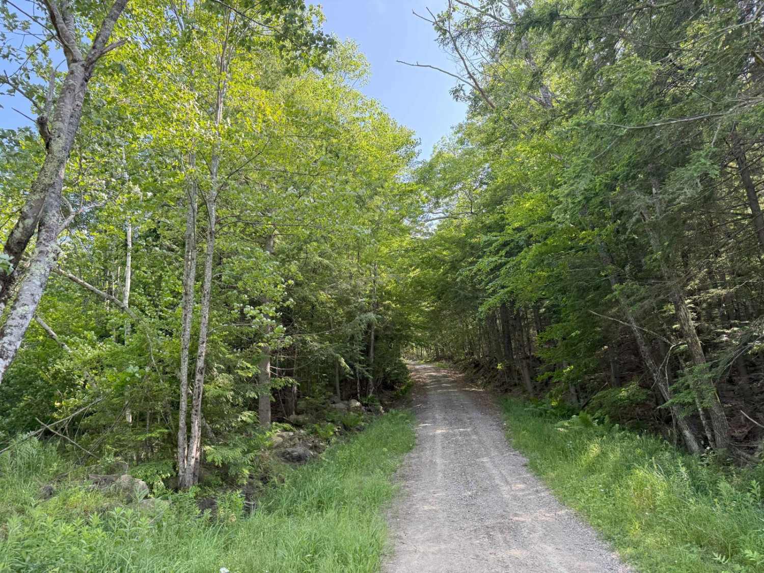
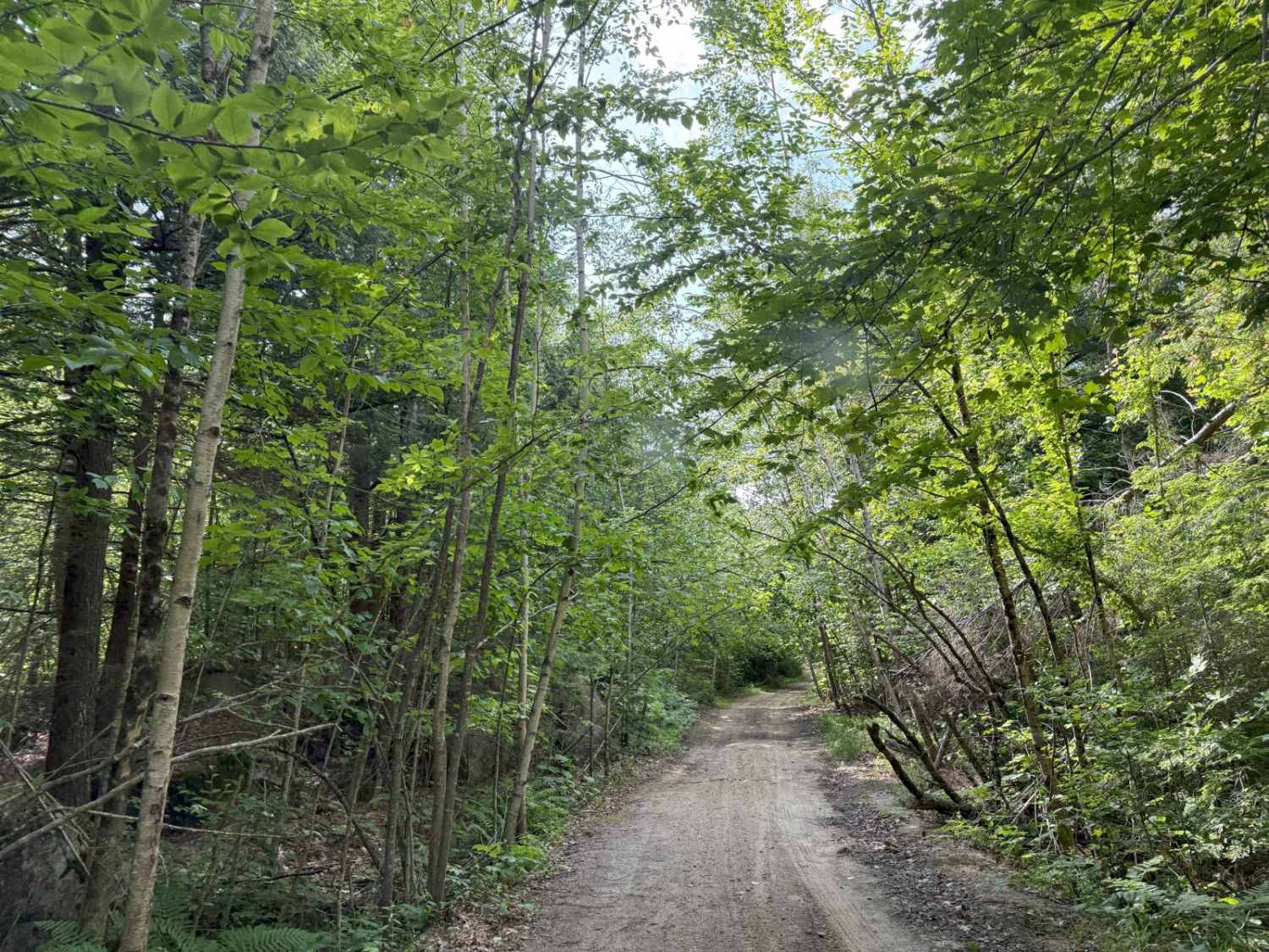
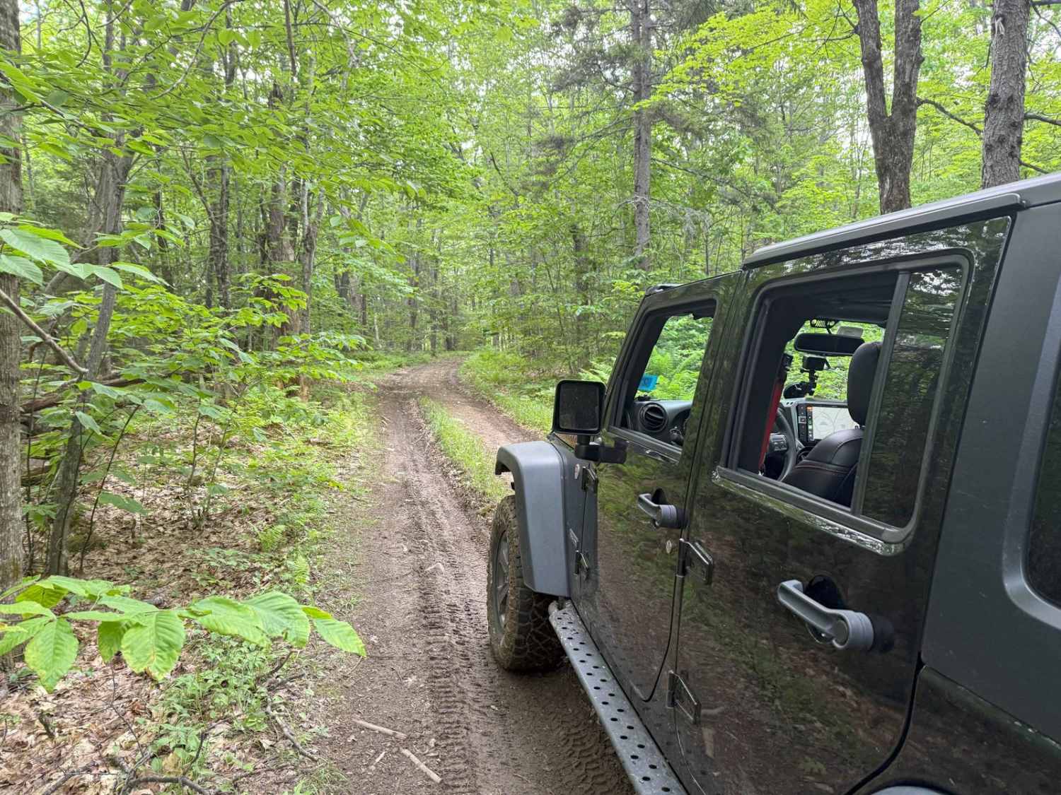
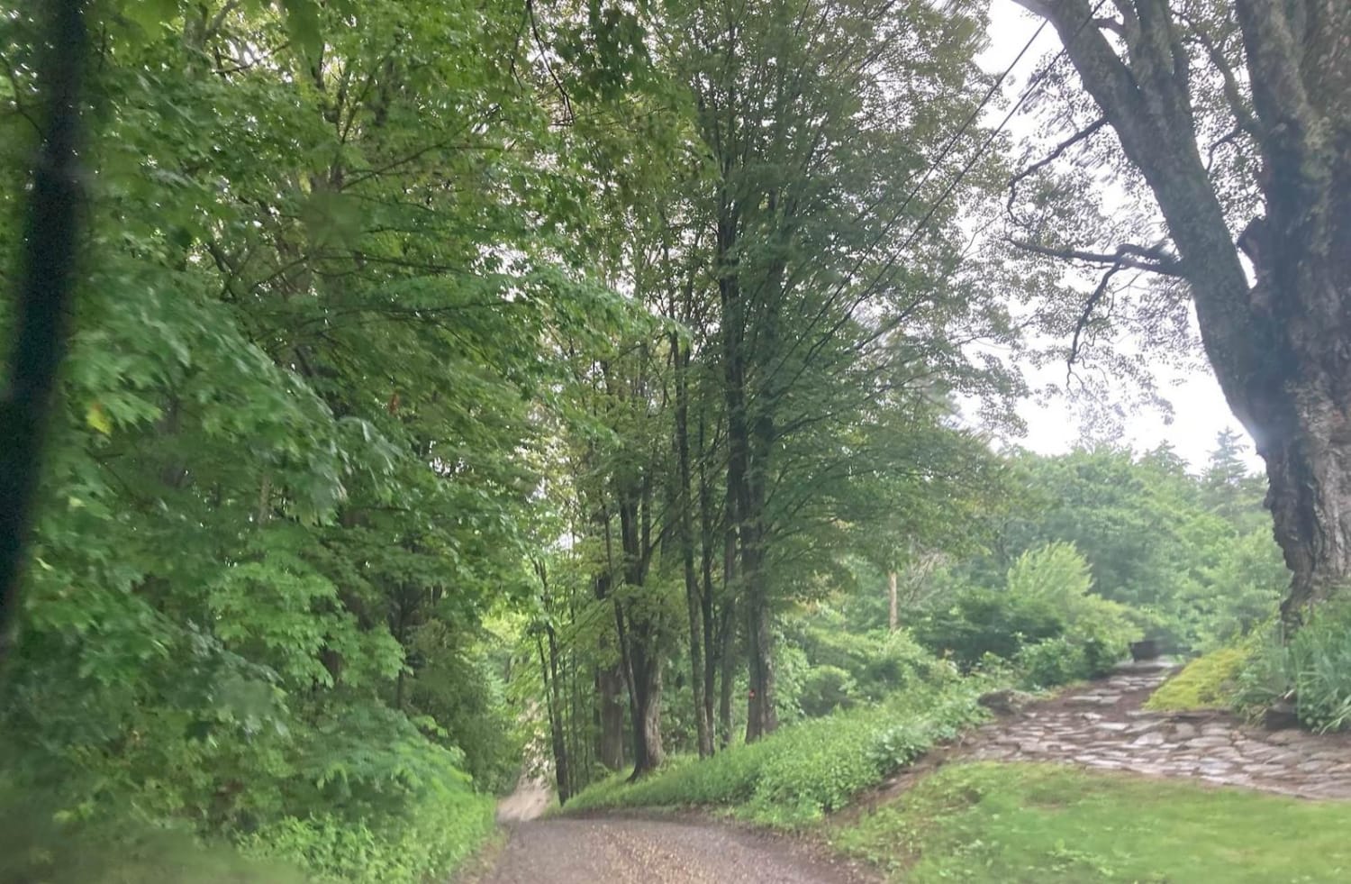
Trail Overview
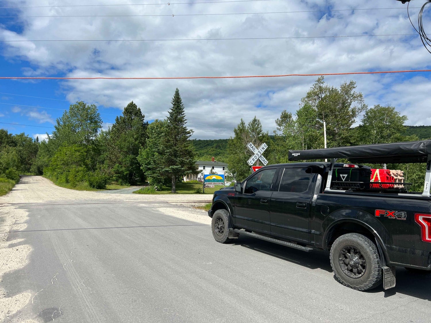
This route travels across two portions of two Class 6 roads that travel around Caverly Mountain, then between Devil's Den Mountain and Mount Molly. The route is stock four-wheel drive friendly and can be run in either direction. This route starts on Caverly Road and heads West for approximately 1 mile. This portion of the route is fairly easy until the left turn onto Devi's Den Road. At this point, you ascend up a steep hill covered with loose rocks. Four-wheel drive is necessary to climb this hill, and 4-low is optimal. After reaching the top of this initial hill, the rest of the trail is comprised of gentle hills and a trail that winds through old-growth New Hampshire forest. This route ends at the southern exit point off of Devil's Den Road at Chesley Road. There is cell service on most of this route (Verizon).
Photos of Caverly Road to Devil's Den Road
Difficulty
Most of the trail is a very easy dirt road with some scattered sections of hills and loose rocks, some larger-sized boulders.
History
The "Devil's Den" itself refers to a cave or geological formation, and the road leading to it is named accordingly. The history includes indigenous use, potential smuggling activity, and local lore surrounding the name.
Status Reports
Caverly Road to Devil's Den Road can be accessed by the following ride types:
- High-Clearance 4x4
- SUV
- SxS (60")
- ATV (50")
- Dirt Bike
Caverly Road to Devil's Den Road Map
Popular Trails

Haystack Mountain Road
Wade Hill Road
Natty's Route
Cherry Mountain
The onX Offroad Difference
onX Offroad combines trail photos, descriptions, difficulty ratings, width restrictions, seasonality, and more in a user-friendly interface. Available on all devices, with offline access and full compatibility with CarPlay and Android Auto. Discover what you’re missing today!