Wade Hill Road
Total Miles
1.7
Technical Rating
Best Time
Spring, Summer, Fall
Trail Type
Full-Width Road
Accessible By
Trail Overview
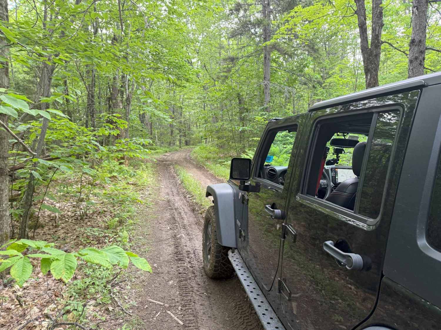
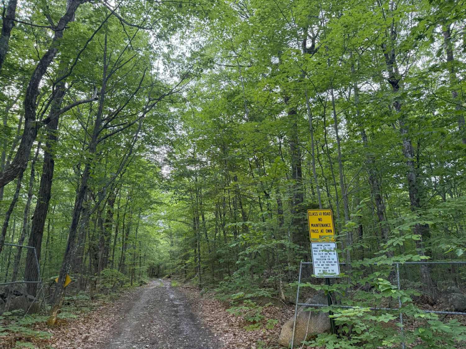
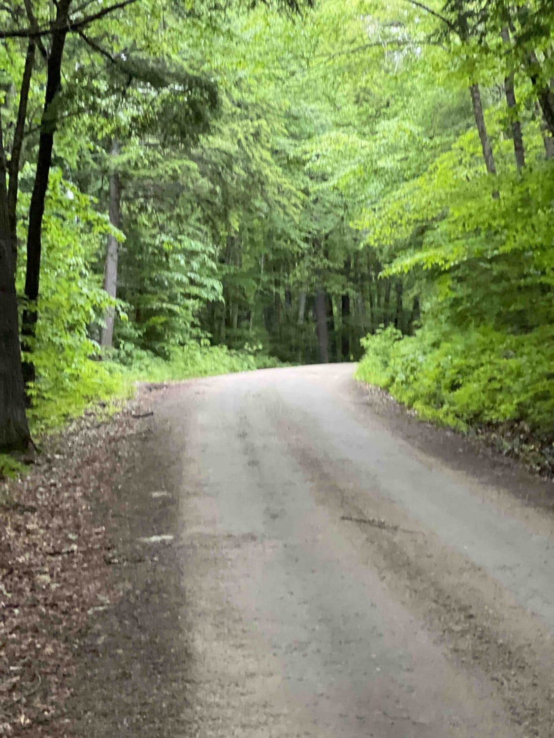
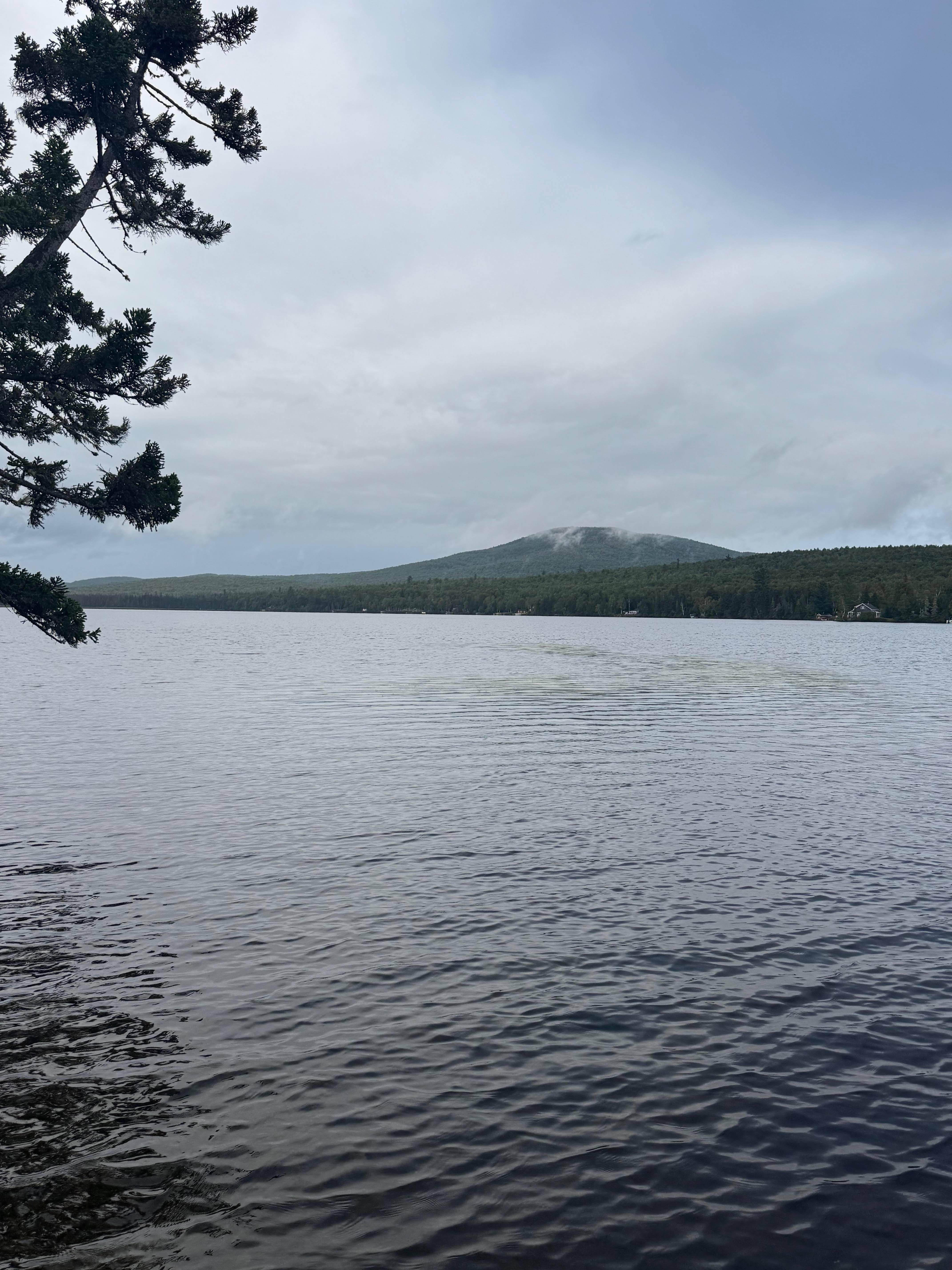
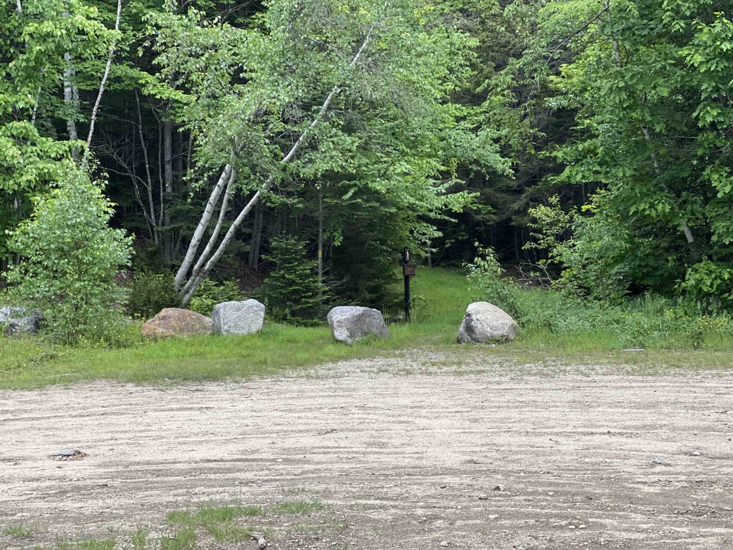
Wade Hill Road is a Class 6 road in Hebron, NH. You can run it in both directions. Entering from the east side, you begin to ascend. You will reach the top in the middle of the trail. The trail travels through thick woods. It is muddy, has small ruts, and some loose, smaller rocks Weather will have significant effect on the conditions, as there are usually several sections with deep mud At the top of the hill there is a historic cemetery with gravestones of revolutionary war veterans with dates of death noted as 1776 This alone make the trip worthwhile, but as you continue toward the western end of the trail you are next rewarded with a spectacular view spot overlooking nearby Newfound Lake There is a picnic table located at this view spot, so bring some lunch an enjoy Desending toward the west, there are several steep sections with mud and rocks Despite the general muddy and rocky nature of the trail, it is passable with a stock 4x4.
Photos of Wade Hill Road
Difficulty
This trail is highly weather dependent. Pay attention to the recent weather. When dry it is very easy. When wet, or very wet, the mud and ruts will increase the difficulty and offroad tires are recommended.
History
Wade Hill Road in Hebron, NH is located in an area where early settlers built farms, particularly near the Pike (a turnpike) and intersecting roads like Pike Hill, Favor, and Hunt roads. The turnpike was built to shorten travel between Concord and Haverhill and other Connecticut River towns, leading to development in these hilly areas. Wade Hill Cemetery, also on Pike Hill, is an abandoned cemetery deeded to the town in recent years. The road's connection to the turnpike and the development of the surrounding area suggests it was a significant location for early Hebron residents. The presence of the Wade Hill Cemetery also indicates a long history of settlement in the area.
Status Reports
Wade Hill Road can be accessed by the following ride types:
- High-Clearance 4x4
- SUV
- SxS (60")
- ATV (50")
- Dirt Bike
Wade Hill Road Map
Popular Trails
Success Pond Road
East Branch Saco River

Magalloway Road to Hawk Road
The onX Offroad Difference
onX Offroad combines trail photos, descriptions, difficulty ratings, width restrictions, seasonality, and more in a user-friendly interface. Available on all devices, with offline access and full compatibility with CarPlay and Android Auto. Discover what you’re missing today!