East Branch Saco River
Total Miles
3.3
Technical Rating
Best Time
Spring, Summer, Fall
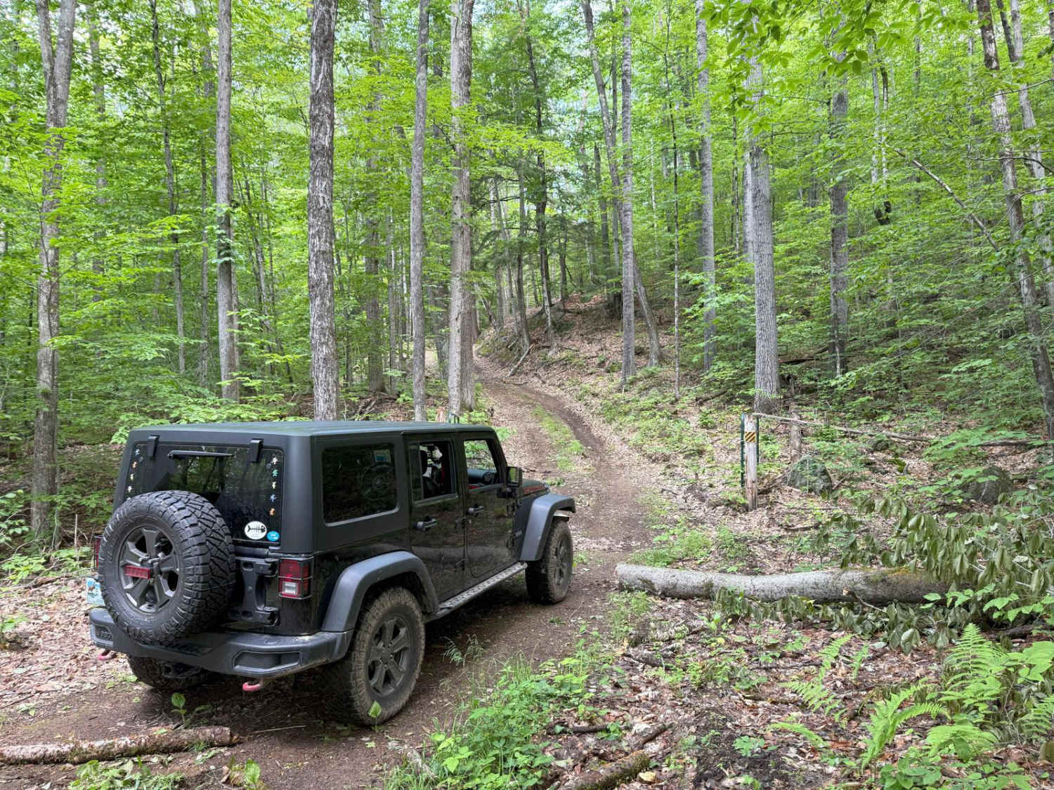
Trail Type
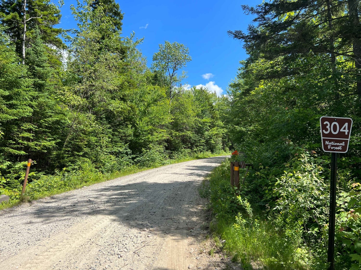
Full-Width Road
Accessible By
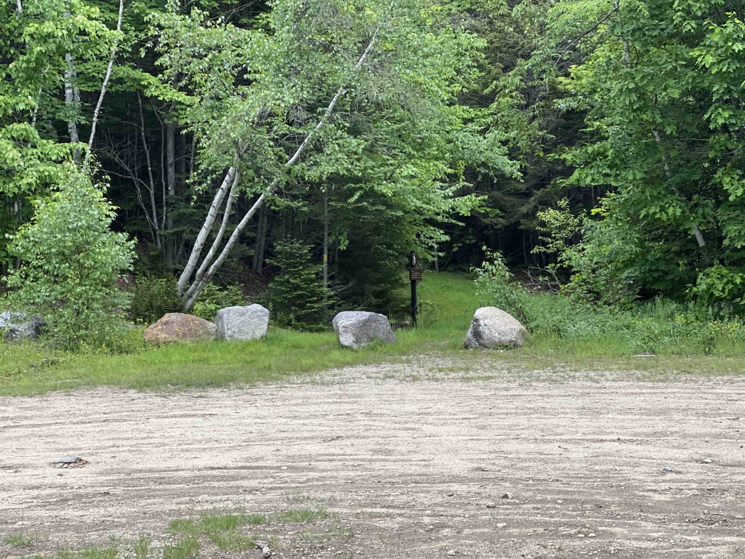
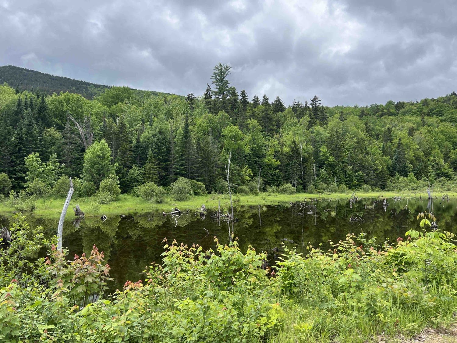
Trail Overview
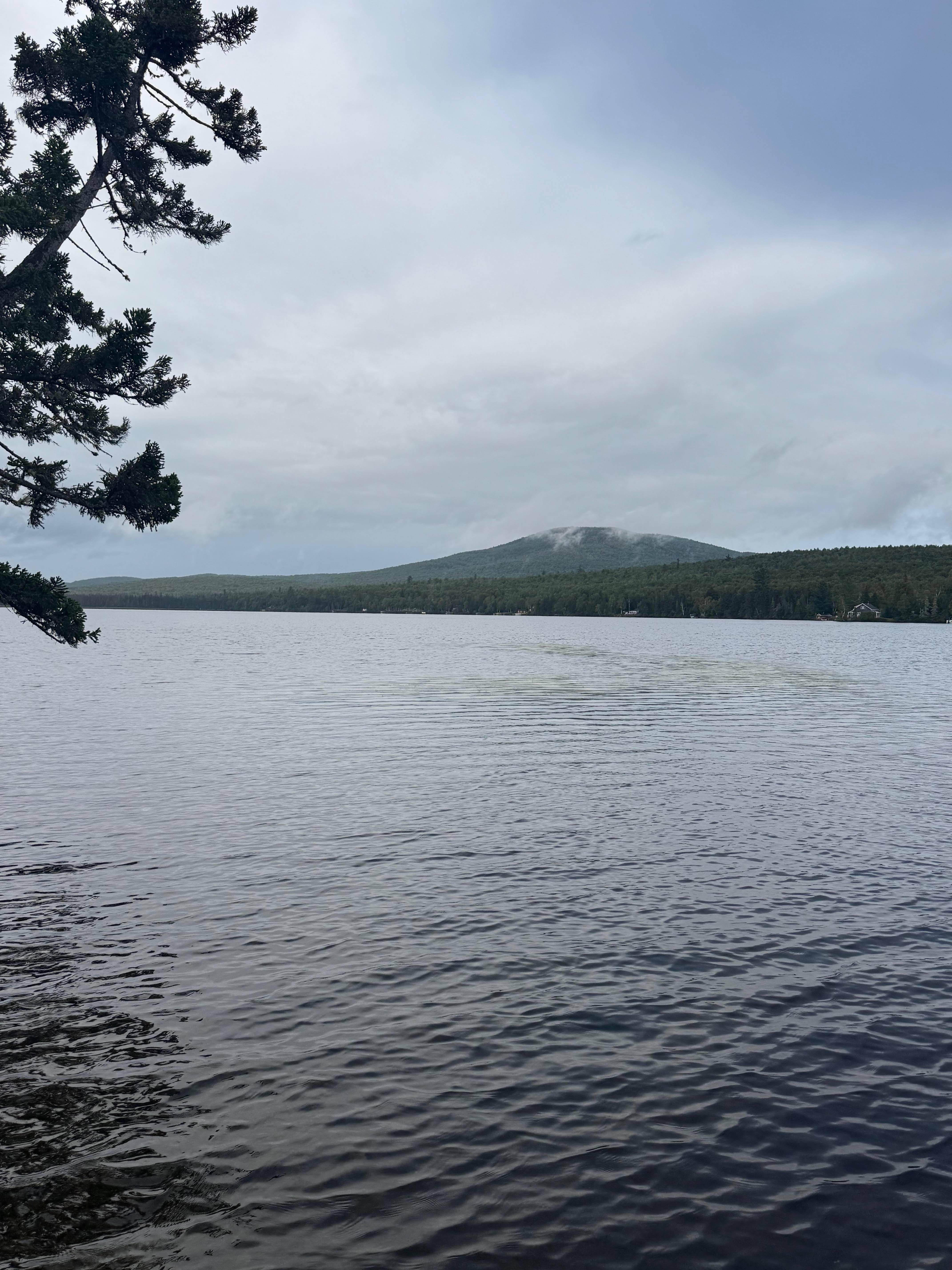
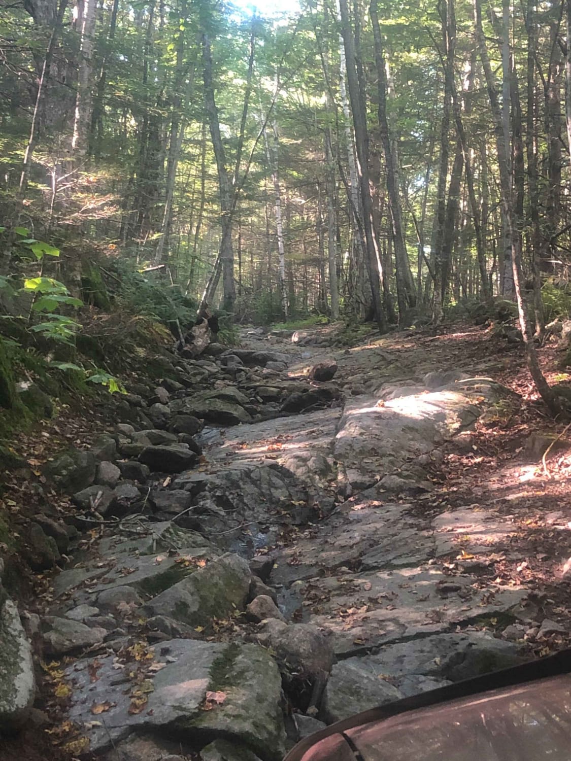
This is a well-maintained dirt gravel road with lots of pull-off spots to pop up camp and trailheads. It dead ends at a hiking trail. There are a lot of scenic views and a bridge crossing over the river. A campsite is next to the river and a small beaver pond are great locations.
Photos of East Branch Saco River
Difficulty
This is a dirt road that is not plowed in winter months. There is one rough spot near the end by the beaver bog.
Status Reports
East Branch Saco River can be accessed by the following ride types:
- High-Clearance 4x4
- SUV
East Branch Saco River Map
Popular Trails
Haystack Road
Success Pond Road
Cobble Hill Road Trail
The onX Offroad Difference
onX Offroad combines trail photos, descriptions, difficulty ratings, width restrictions, seasonality, and more in a user-friendly interface. Available on all devices, with offline access and full compatibility with CarPlay and Android Auto. Discover what you’re missing today!