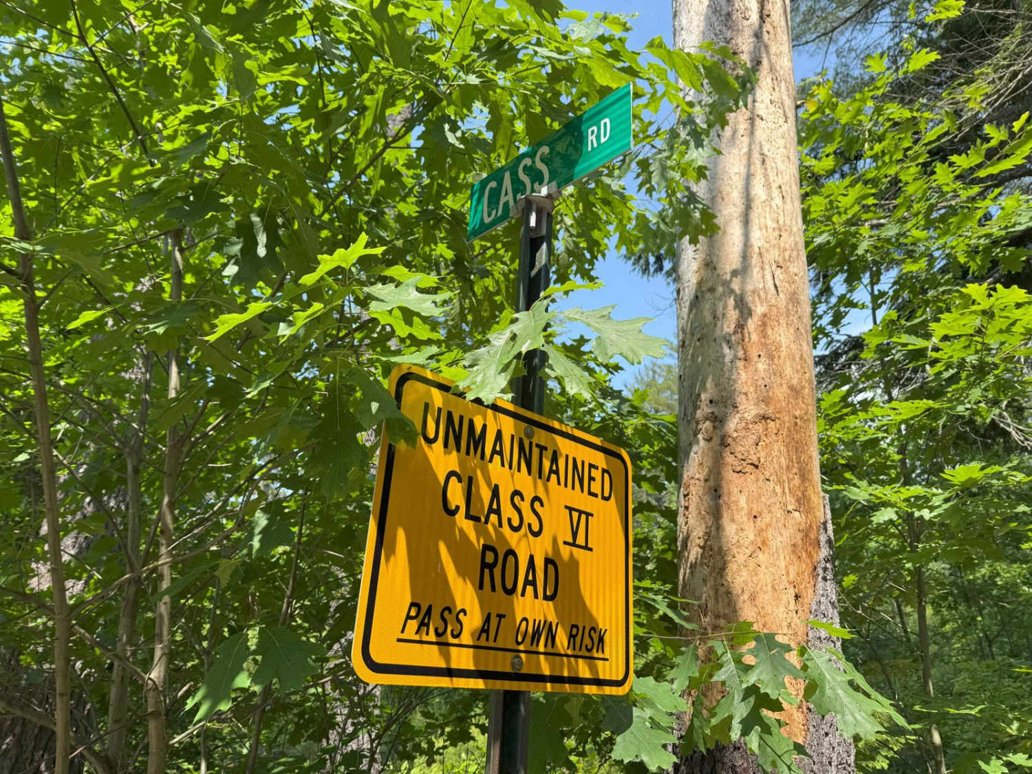
Cass Road
Total Miles
1.6
Technical Rating
Best Time
Summer, Spring, Fall
Trail Type
Full-Width Road
Accessible By
Trail Overview
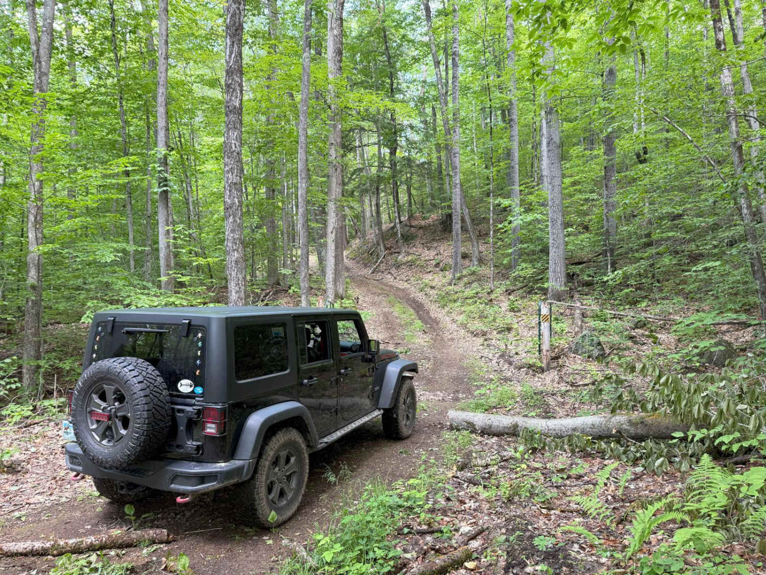
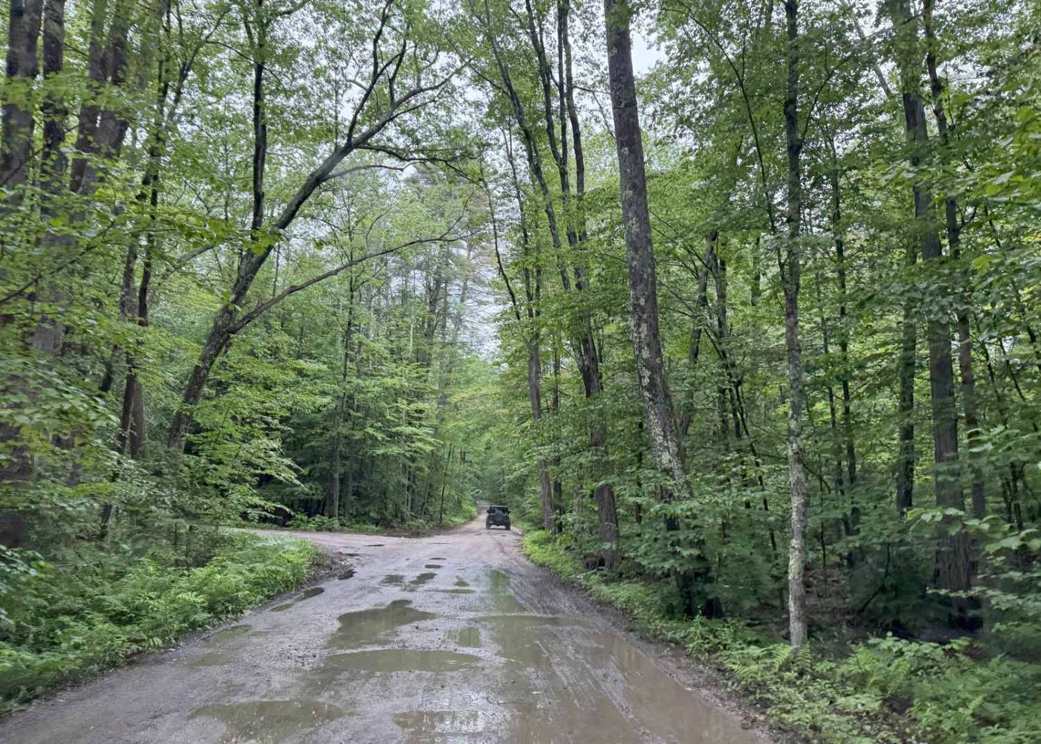
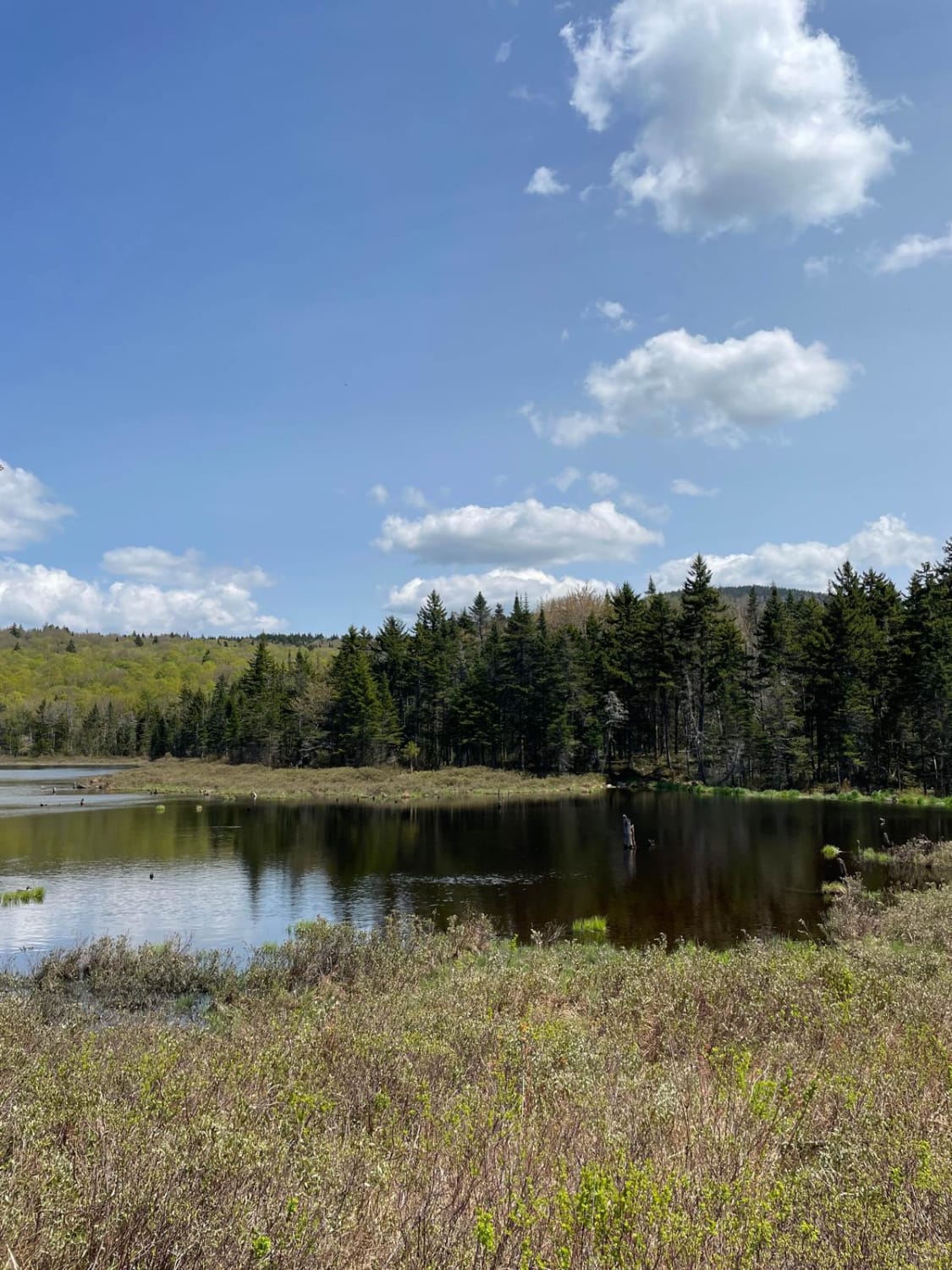
Cass Road is a Class 6 road in Bridgewater, NH. This route can be driven in either direction. From East to West, it runs uphill for nearly the entire route with approximately 600 feet of elevation gain. This route is a good access road into the main part of the Class 6 road system in Bridgewater, as there are many other trails in the area. This road is typically a mix of easy portions and uphill portions with loose rocks, some mud, ruts, and washouts. The route is stock-friendly, but four-wheel drive is recommended. Cell service is good through the entire route (Verizon).
Photos of Cass Road
Difficulty
Generally easy trail with some sections of mud, small ruts, and loose rocks on the hills.
History
Cass Road in Bridgewater, New Hampshire, originally known as Cross Street, has a rich history tied to the town's early development and growth. It ran between Middle Street (now Main Street) and Back Street (now Park Street), playing a role in the town's commerce. Located on Cass Street, this house, originally built by Colonel John Gilman, dates back to 1723-1735 and served as a significant landmark on the street, known for its spring water source and a notable rose garden.
Cass Road can be accessed by the following ride types:
- High-Clearance 4x4
- SUV
- SxS (60")
- ATV (50")
- Dirt Bike
Cass Road Map
Popular Trails
Old Windsor Mountain Road to Sulpher Hill Road

Trail 146 Indian Stream Road & Trail 141 East Branch Road
Success Pond Road
New Colony - Orange Road
The onX Offroad Difference
onX Offroad combines trail photos, descriptions, difficulty ratings, width restrictions, seasonality, and more in a user-friendly interface. Available on all devices, with offline access and full compatibility with CarPlay and Android Auto. Discover what you’re missing today!