Willow Springs - FS 44427
Total Miles
8.4
Technical Rating
Best Time
Spring, Summer, Fall
Trail Type
Full-Width Road
Accessible By
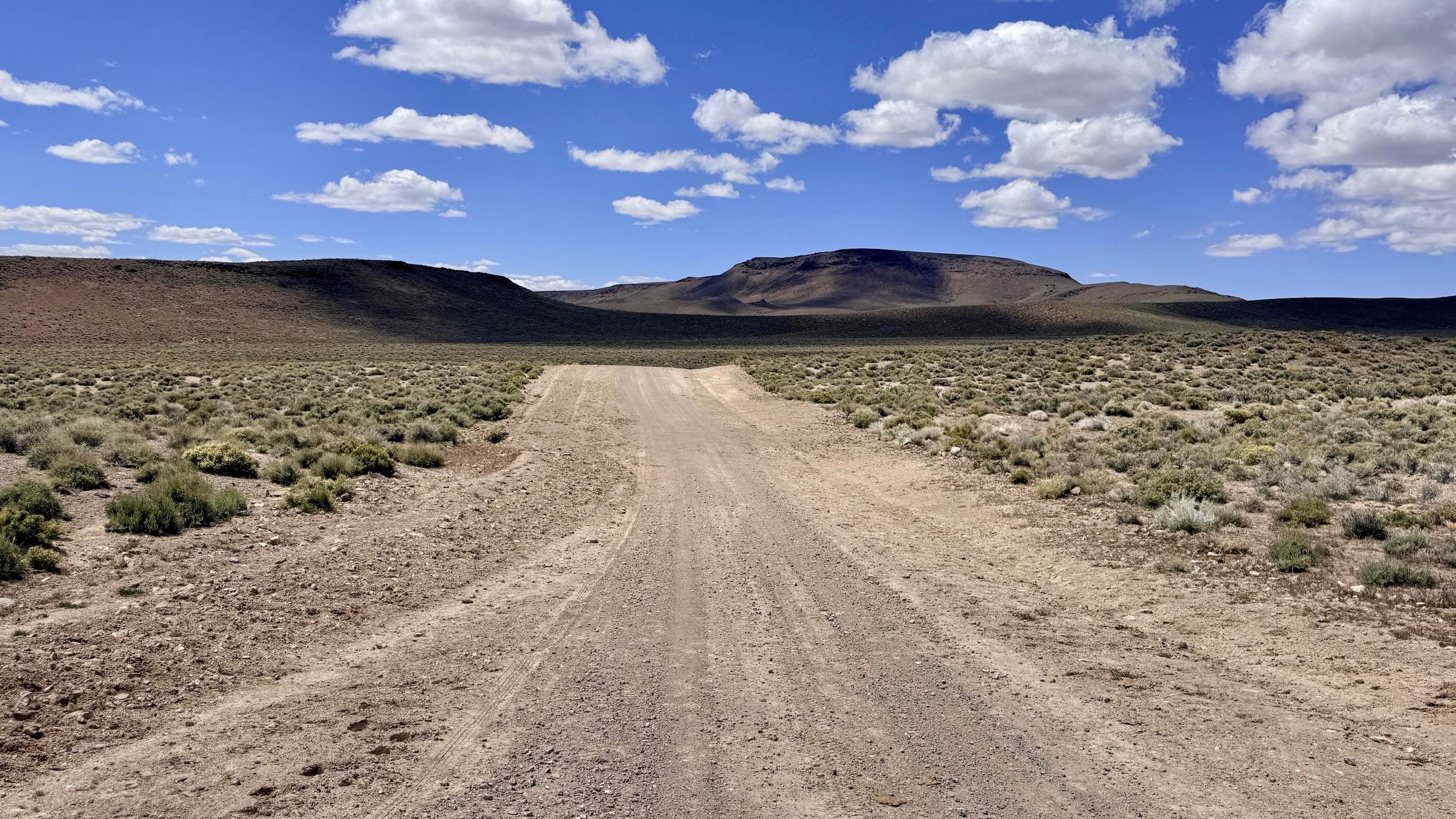
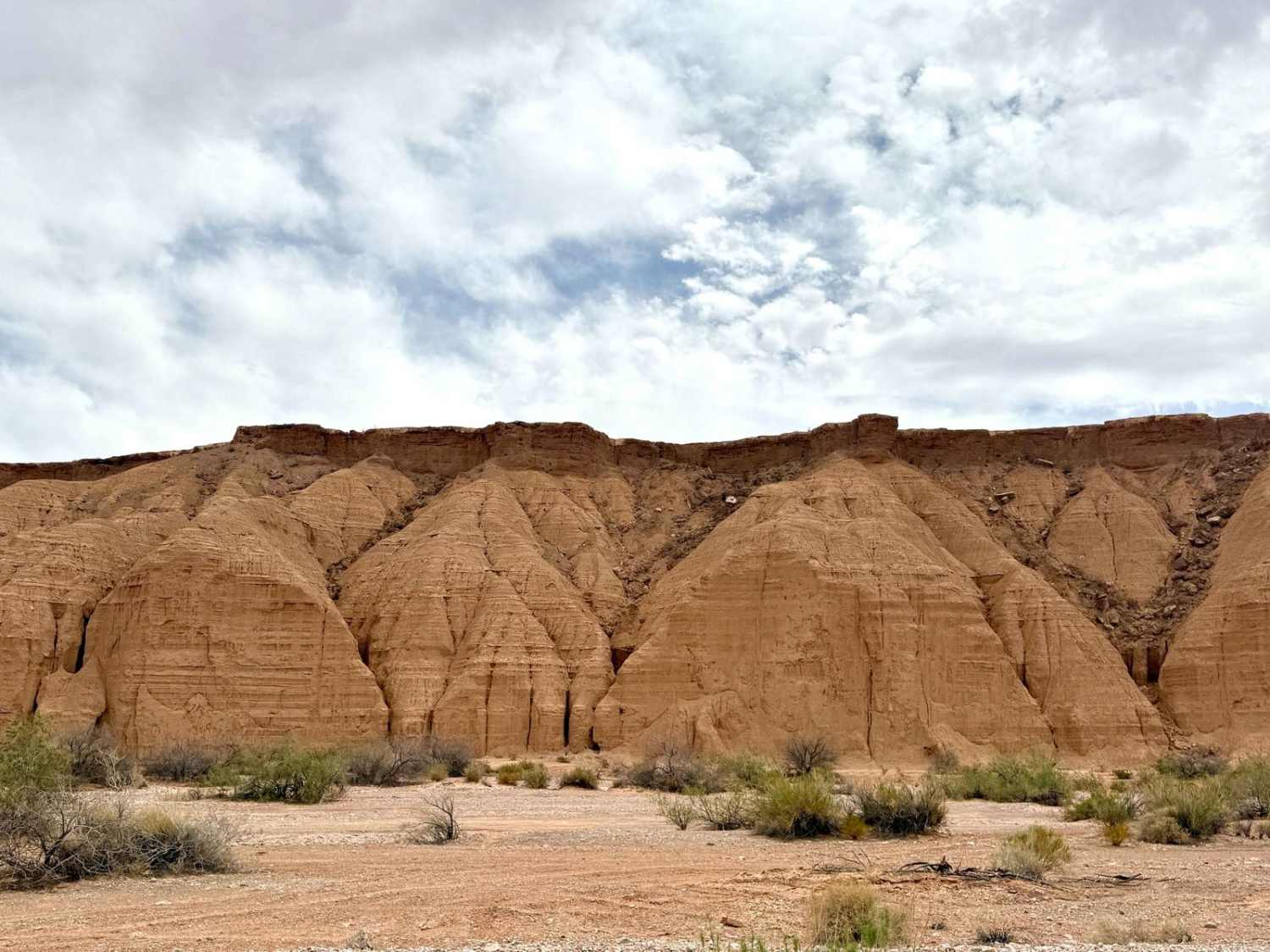
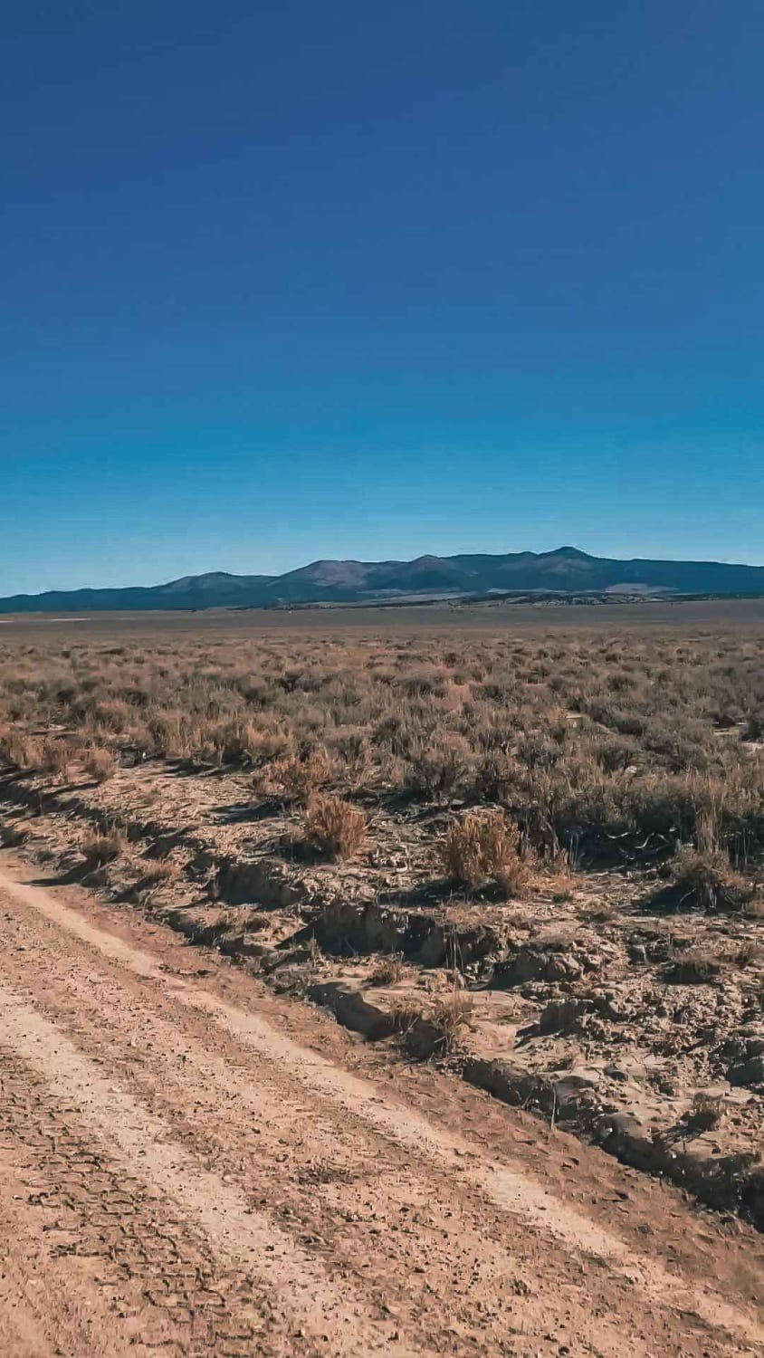
Trail Overview
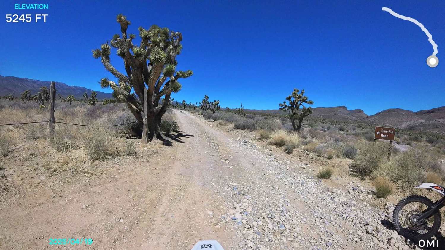
Willow Springs FS 44427 serves as a primary artery leading explorers from the wide-open desert floor into the rugged, high-altitude foothills of Mount Ardivey. The first 5.7 miles of the route offer a fast and enjoyable drive on a wide, well-graded two-track dirt road. As you reach the junction with Golden Wash Road, the trail makes a distinct turn to the northeast, and the character of the drive shifts dramatically. The road narrows to a single-lane track, beginning a spirited series of twists and turns as it gains elevation. This upper section provides an up-close look at the region's intensive prospecting history, passing numerous weathered mining claims that dot the hillsides. The motorized track eventually reaches a junction where the original route becomes a barely recognizable two-track quickly reclaimed by the desert. From this point, most travelers choose to transition onto the Willow Springs Bypass, which provides a scenic loop connecting back toward the Four Mile Springs system. While not technically difficult, the trail offers a sense of deep-mountain solitude and spectacular views of the towering peaks above. Expect zero cell service once you enter the mountain folds. The high ridges of Mt. Ardivey create a complete signal dead zone. Download offline maps before leaving the Tonopah or Highway 376 area.
Photos of Willow Springs - FS 44427

Difficulty
Rated a 2 primarily because the second half of the trail is a narrow single-lane track. Drivers should be prepared to use turnouts or reverse if they encounter oncoming traffic in the tighter sections. There are only a few minor wash crossings along the route. These are generally shallow but may feature loose volcanic rock that requires a steady pace.
Status Reports
Willow Springs - FS 44427 can be accessed by the following ride types:
- High-Clearance 4x4
- SUV
- SxS (60")
- ATV (50")
- Dirt Bike
Willow Springs - FS 44427 Map
Popular Trails
Overton Wash 1
Farm View Road
McLeod Bypass - FS 43481
Pine Nut Road
The onX Offroad Difference
onX Offroad combines trail photos, descriptions, difficulty ratings, width restrictions, seasonality, and more in a user-friendly interface. Available on all devices, with offline access and full compatibility with CarPlay and Android Auto. Discover what you’re missing today!