Willow Creek Loop (FS43493)
Total Miles
4.7
Technical Rating
Best Time
Spring, Fall
Trail Type
Full-Width Road
Accessible By
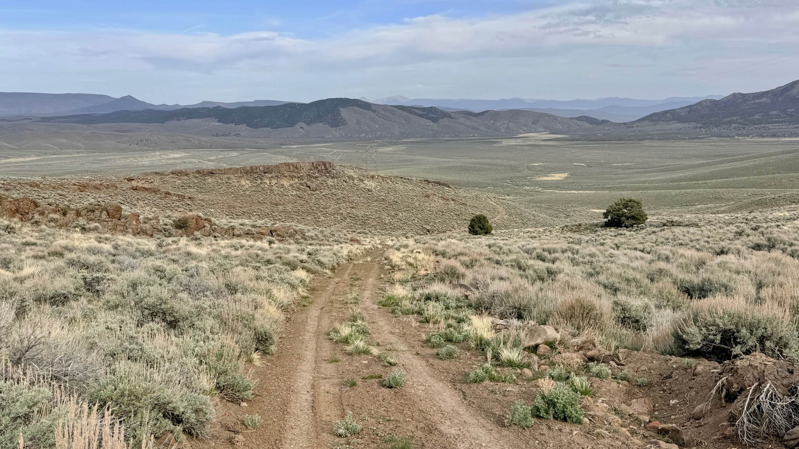
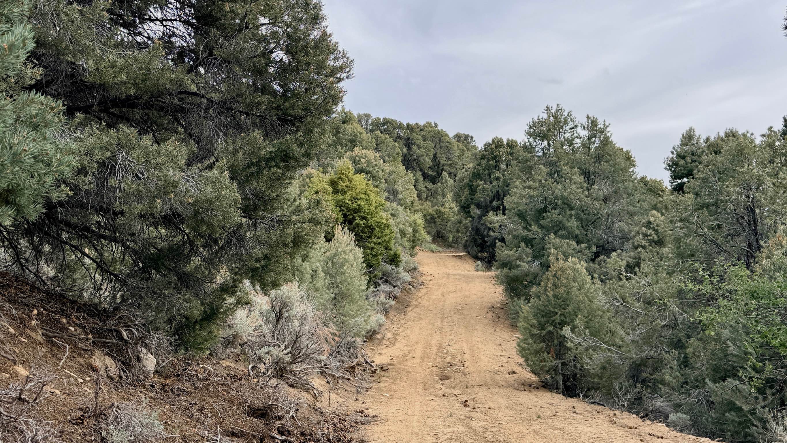
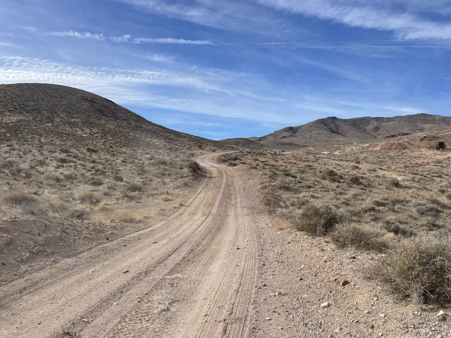
Trail Overview
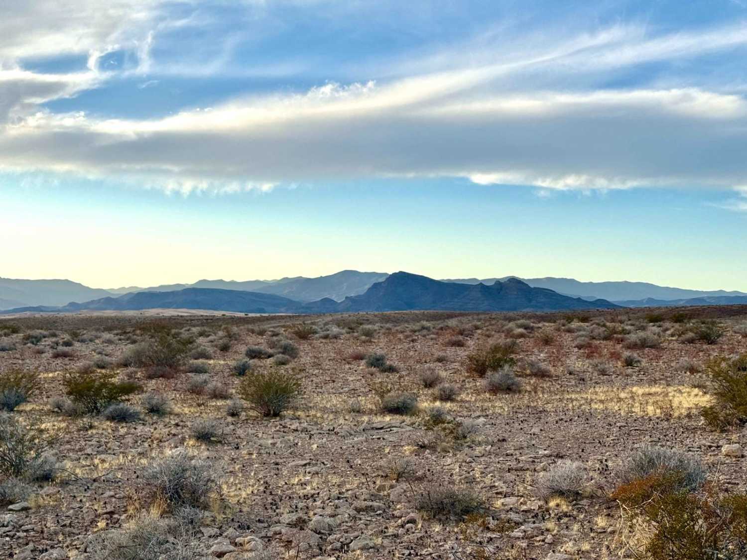
The Willow Creek Loop is an exceptionally scenic high-altitude route that traverses the crest of the Toiyabe Range, cutting over a dramatic mountain pass. This trail takes you through expansive alpine meadows dominated by mountain scrub and sagebrush, offering a stark, rugged beauty. The primary draw of this loop is the breathtaking, 360-degree views from the summit; standing at the pass, you are treated to outstanding vistas stretching across the Great Basin to both the east and the west. The area is a haven for high-desert birdlife. As you navigate the trail, you are likely to see California Quail and Sage Grouse flushing from the brush--during the spring, they are often seen in pairs as they move through the meadows. While the scenery is serene, the driving is demanding. The eastern side of the loop is particularly challenging, featuring steep, loose, and rocky sections that require careful gear selection and tire placement. Although your device may show two bars of service, it is largely unusable for data or calls. Download offline maps before leaving the Highway 305 corridor to ensure you stay on track. The Toiyabe Range is remote and unforgiving. Carry at least one gallon of water per person per day, extra fuel, and a full-sized spare tire.
Photos of Willow Creek Loop (FS43493)
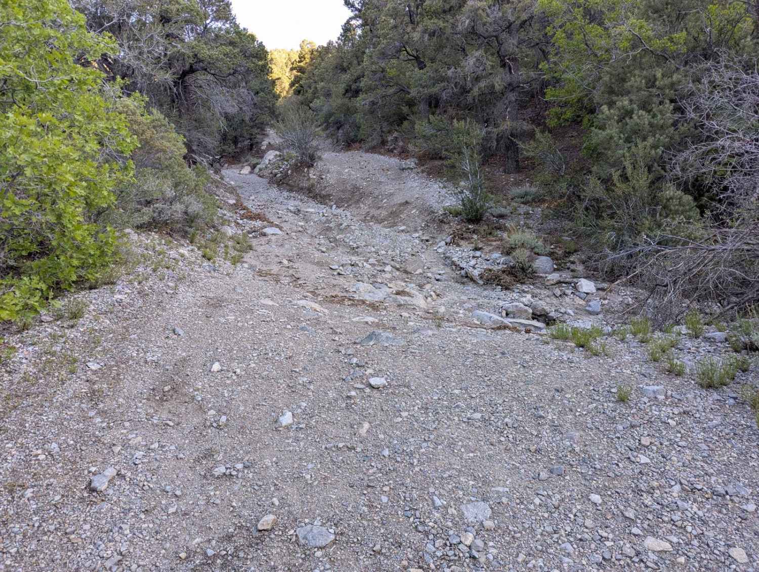
Difficulty
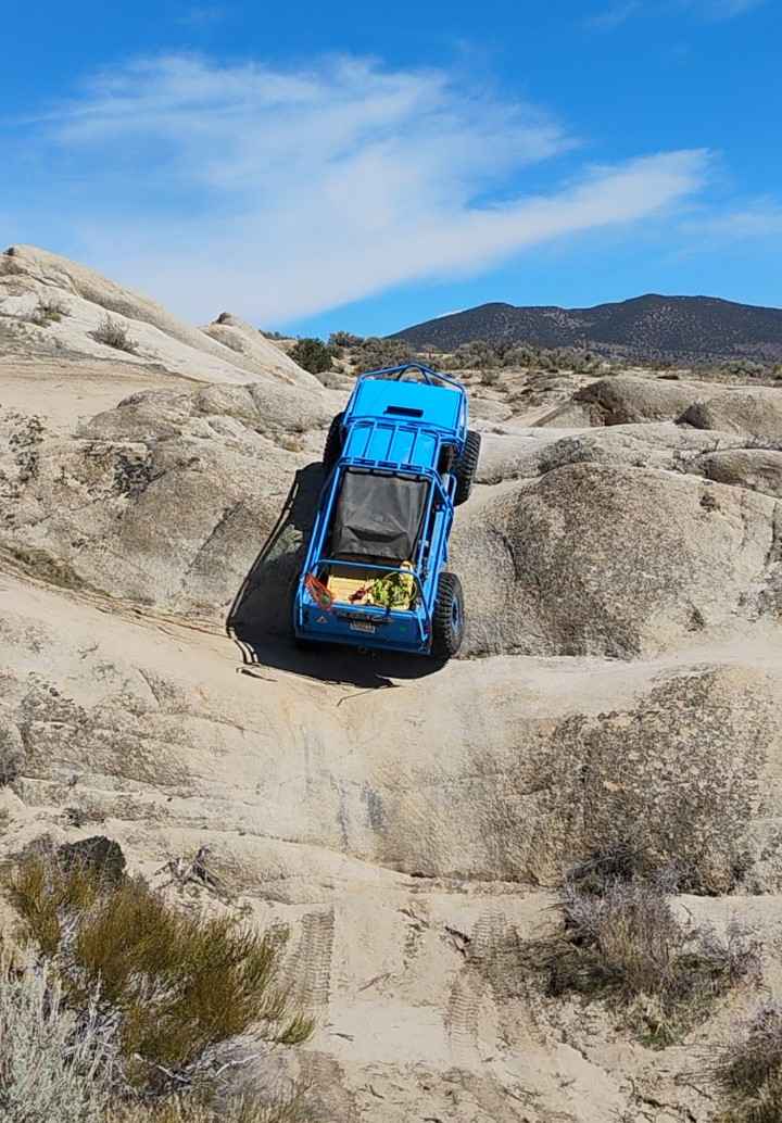
Rated a 4 due to the steep and loose rocky sections on the eastern descent. This trail is recommended for experienced drivers in high-clearance 4x4 vehicles. Low-range capability is essential for the eastern slopes. Evidence of deep ruts along the trail suggests that previous travelers have struggled here during wet conditions. This route can become treacherous or completely impassable during the spring snowmelt, after heavy rains, or in the winter months.
History
Willow Creek and its surrounding meadows have historically served as vital summer grazing lands for the cattle ranches that settled the Reese River Valley in the 1860s. These high-altitude passes were once traversed by Shoshone hunters and later by rugged frontiersmen who used these "sky islands" to escape the blistering heat of the valley floors. The trail you see today likely follows the same ridge-lines used for over a century to move livestock between the lush mountain grasses and the winter valley ranges.
Status Reports
Willow Creek Loop (FS43493) can be accessed by the following ride types:
- High-Clearance 4x4
- SUV
- SxS (60")
- ATV (50")
- Dirt Bike
Willow Creek Loop (FS43493) Map
Popular Trails
Telephone Canyon Road (530)
Old Spanish Trail Access
Double Waterfall
The onX Offroad Difference
onX Offroad combines trail photos, descriptions, difficulty ratings, width restrictions, seasonality, and more in a user-friendly interface. Available on all devices, with offline access and full compatibility with CarPlay and Android Auto. Discover what you’re missing today!