Willow Creek Connector/Bypass - FS 43497+98
Total Miles
1.3
Technical Rating
Best Time
Spring, Summer, Fall
Trail Type
Full-Width Road
Accessible By
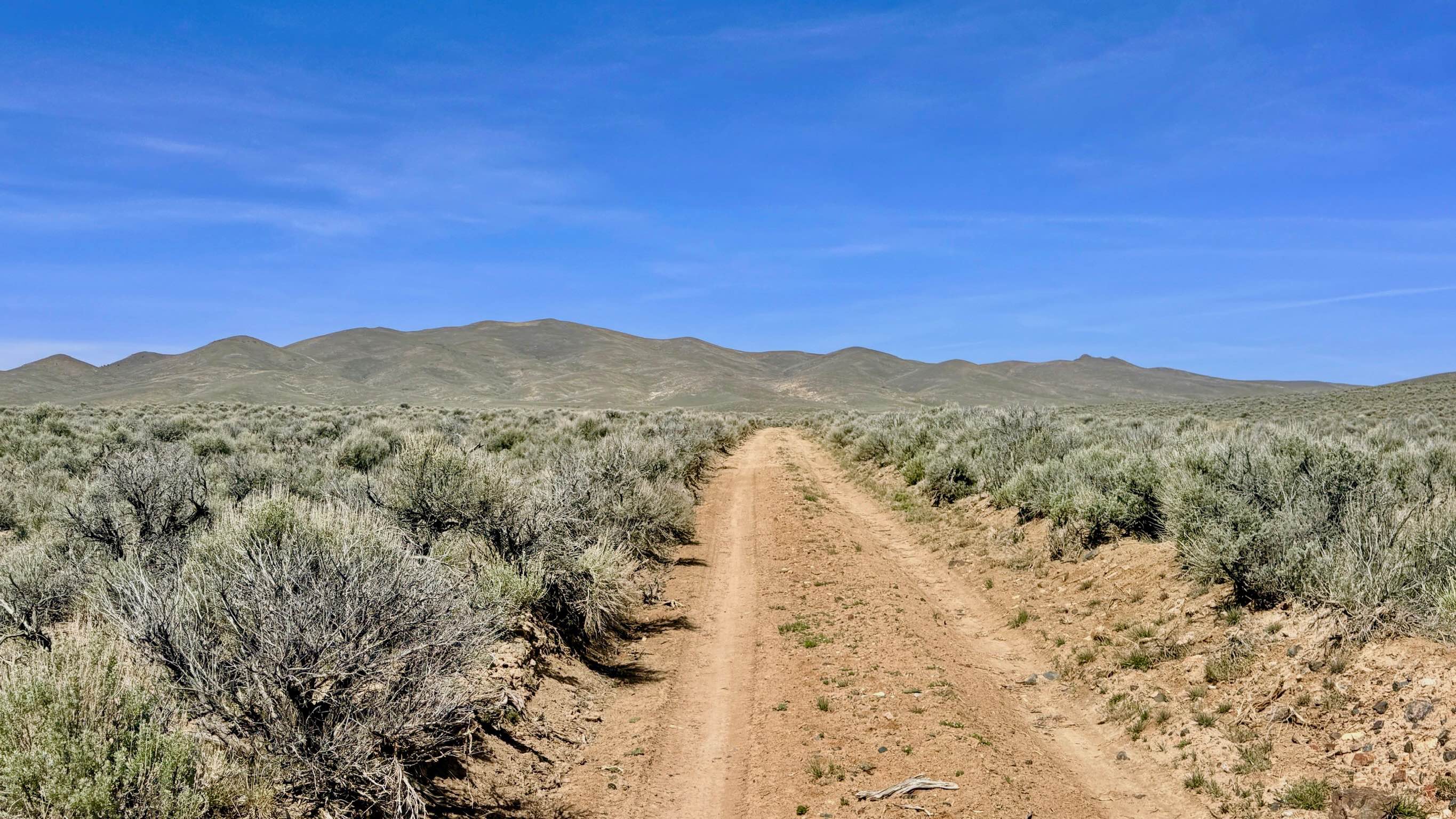
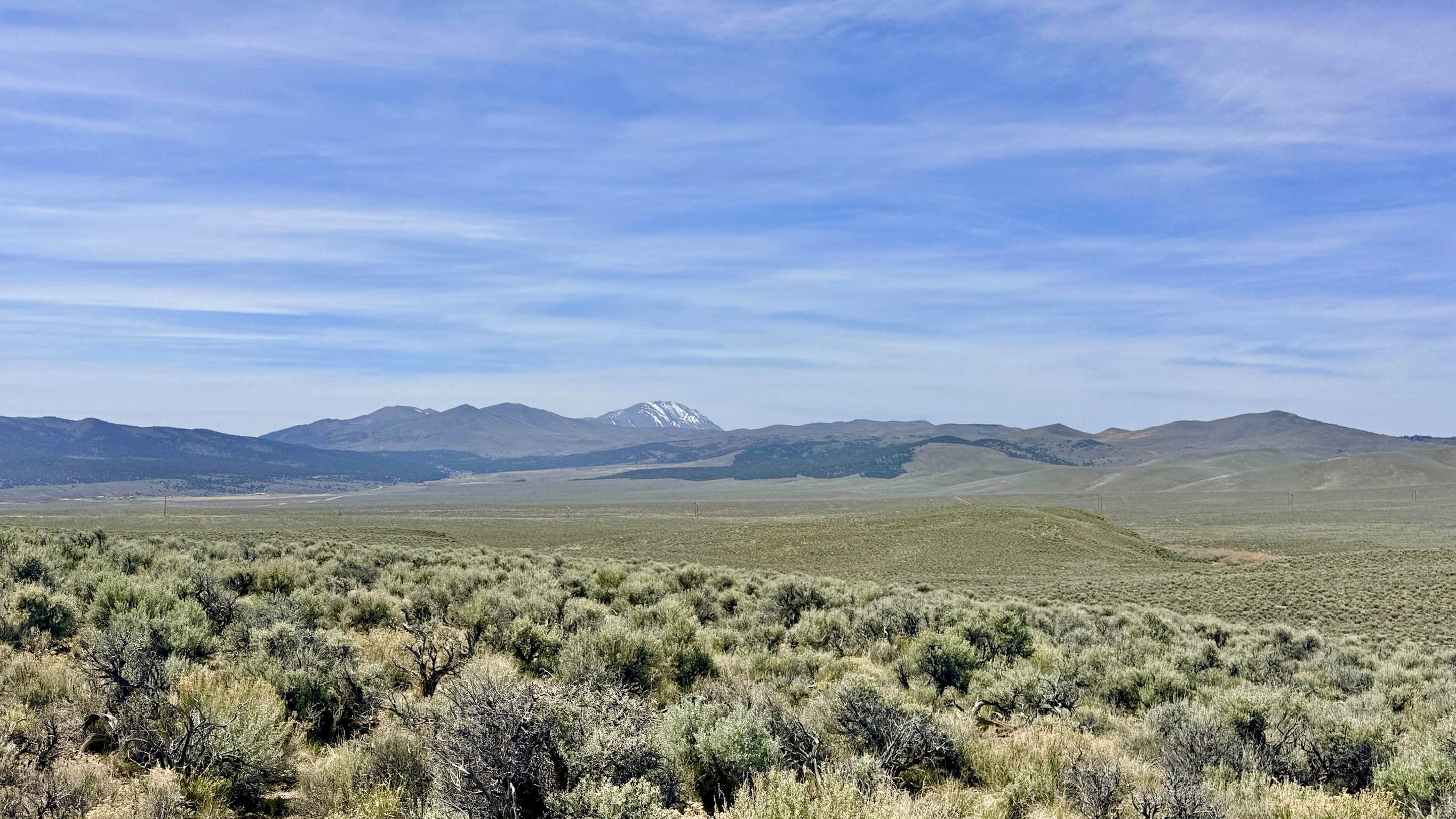
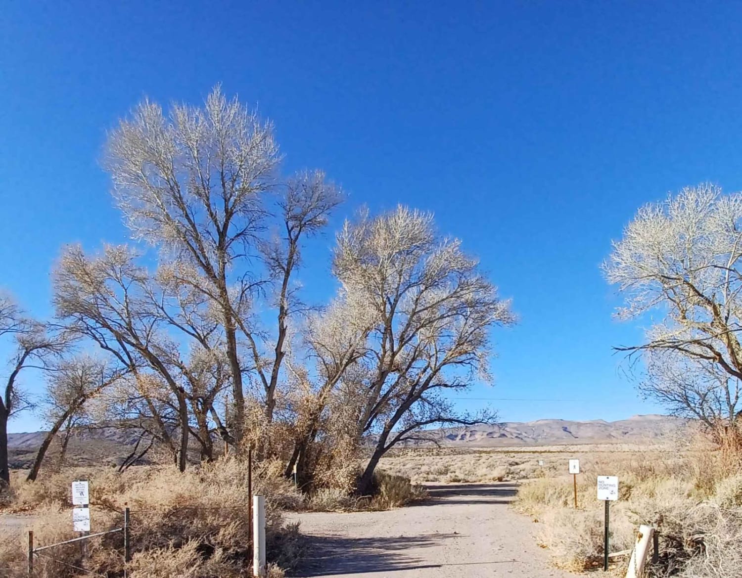
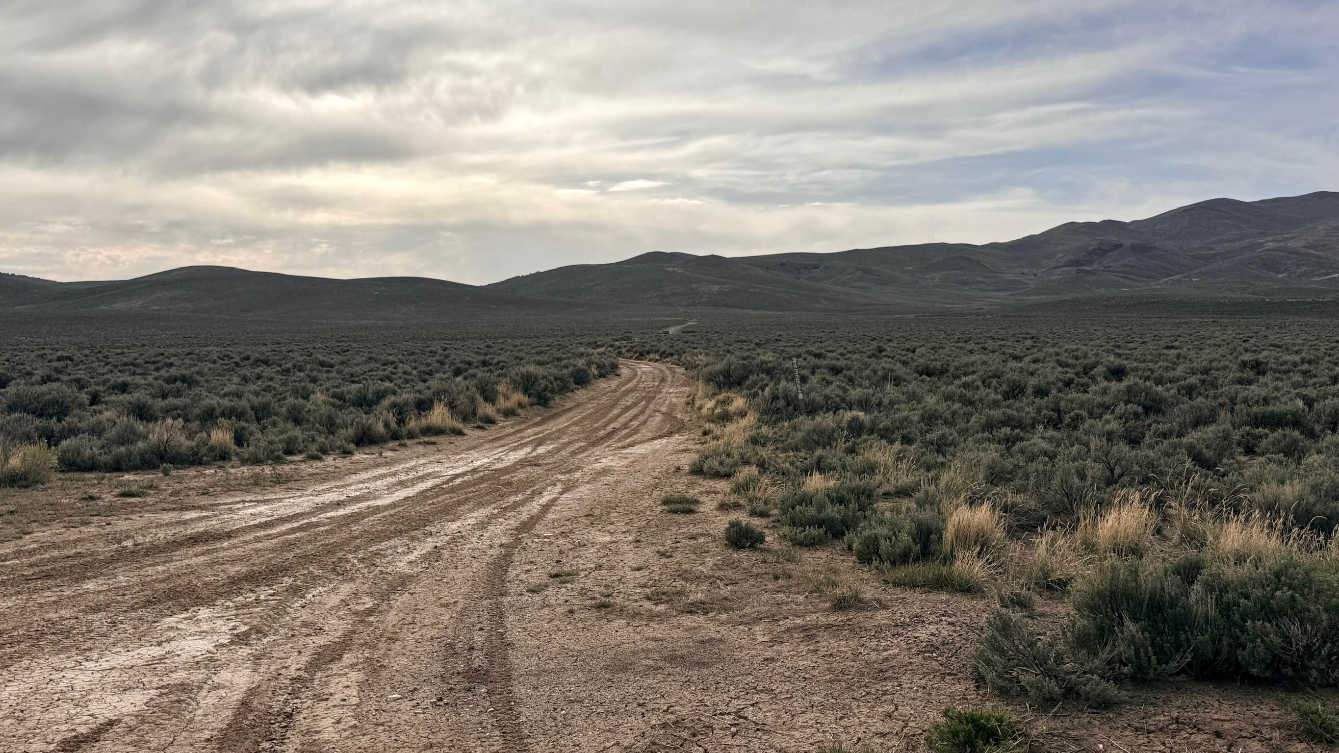
Trail Overview
This combined route of FS 43497 and FS 43498 serves as the modern, essential connector for explorers heading toward the Barton Creek and Willow Creek loop systems. Navigation in this area has changed significantly over time; the far eastern end of the original bypass route no longer exists and has been reclaimed by the desert. As you travel the connector route, you will see the ghost of this old two-track fading into the sagebrush to the east. The route you are traveling is now the primary, well-established path used to bridge these systems together. The drive is remarkably scenic, taking you through high-desert meadows where the "sagebrush sea" ripples against the backdrop of the rugged Toiyabe peaks. While the landscape feels vast and wild, the trail itself is well-traveled and easy to follow. It consists mostly of well-graded dirt tracks that offer a comfortable cruising experience, allowing you to focus on the spectacular 360-degree mountain views as you approach the more technical loop trails ahead. You can expect about two bars of LTE service along this route, which is better than most areas in the range but still prone to dropping in the low spots. Download offline maps to ensure you navigate the junctions correctly. This combined trail is now the functional route to reach the Willow Creek/Barton Creek Loop. Do not attempt to follow older maps that show the eastern connection, as that section is blocked and naturally reclaiming.
Photos of Willow Creek Connector/Bypass - FS 43497+98
Difficulty
Rated a 2, the trail is generally easy, except for one short, steep hill that requires a steady foot and decent traction. The rest of the route is smooth and well-maintained for a Forest Service Road.
History
The shifting nature of the trails in this area tells a story of the changing landscape of the American West. Many of these routes were originally established to service remote ranching allotments or to provide access for early 20th-century miners reworking old silver claims. As the "Old Highway" and modern Reese River Road were developed, these interior connectors evolved. The section of trail you see reclaiming today is a reminder that in the Great Basin, nature is always working to take back what is no longer used, leaving only the most vital corridors for today's adventurers to follow.
Status Reports
Willow Creek Connector/Bypass - FS 43497+98 can be accessed by the following ride types:
- High-Clearance 4x4
- SUV
- SxS (60")
- ATV (50")
- Dirt Bike
Willow Creek Connector/Bypass - FS 43497+98 Map
Popular Trails
Park Canyon - FS 43441
Emigrant Canyon - FS 43222
The onX Offroad Difference
onX Offroad combines trail photos, descriptions, difficulty ratings, width restrictions, seasonality, and more in a user-friendly interface. Available on all devices, with offline access and full compatibility with CarPlay and Android Auto. Discover what you’re missing today!