Ralston Valley Road
Total Miles
8.0
Technical Rating
Best Time
Spring, Summer, Fall
Trail Type
Full-Width Road
Accessible By
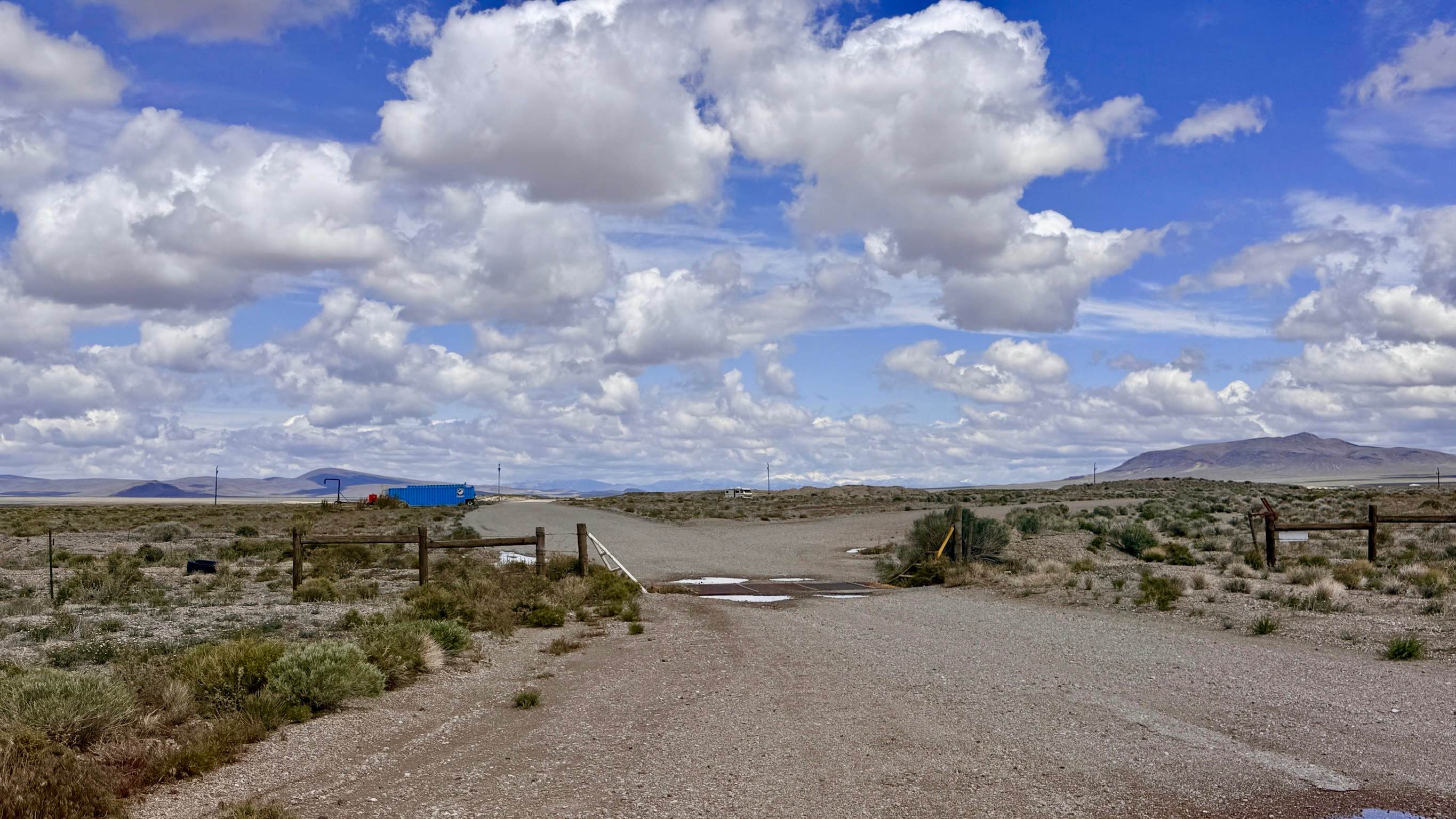
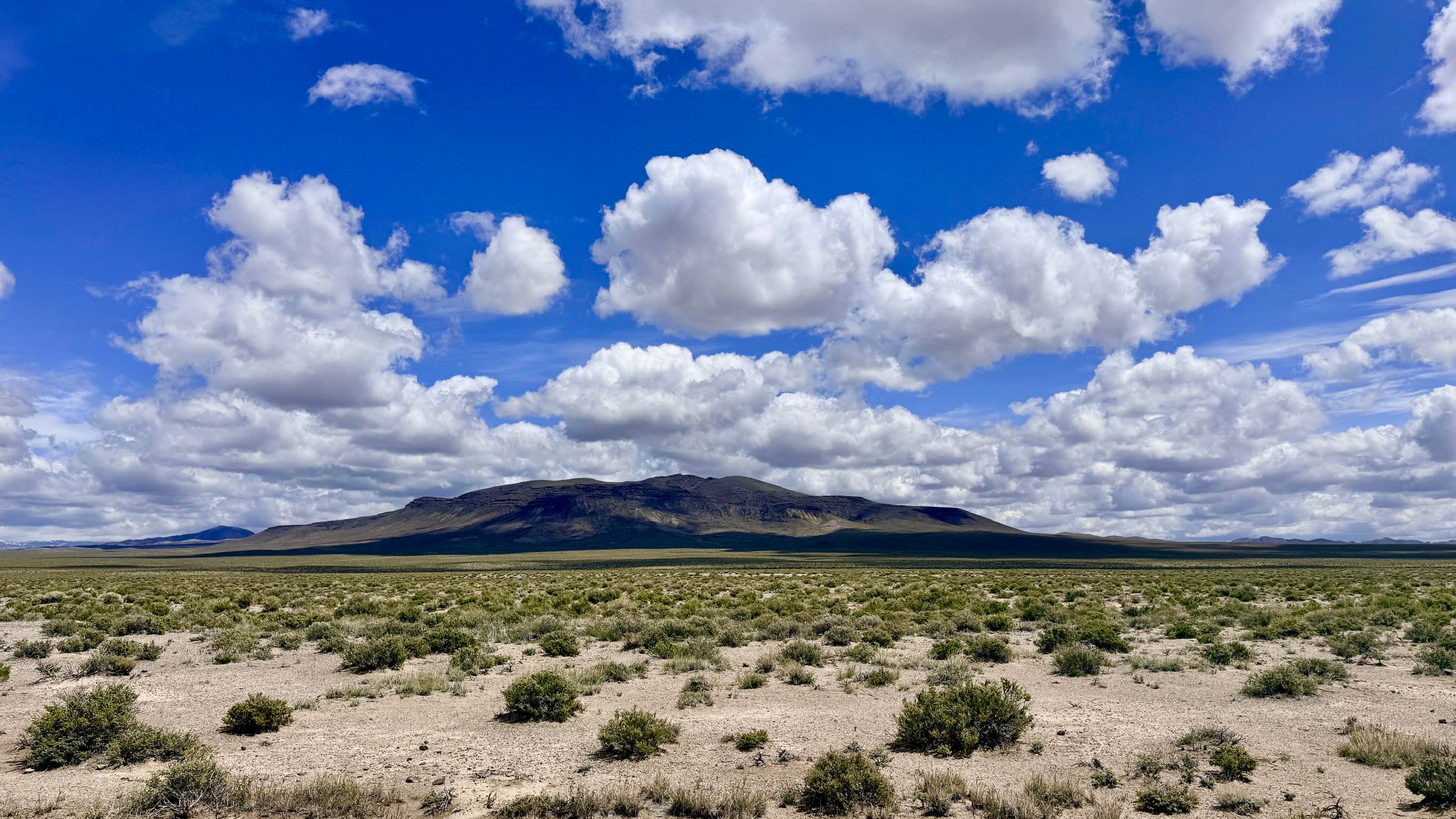
Trail Overview
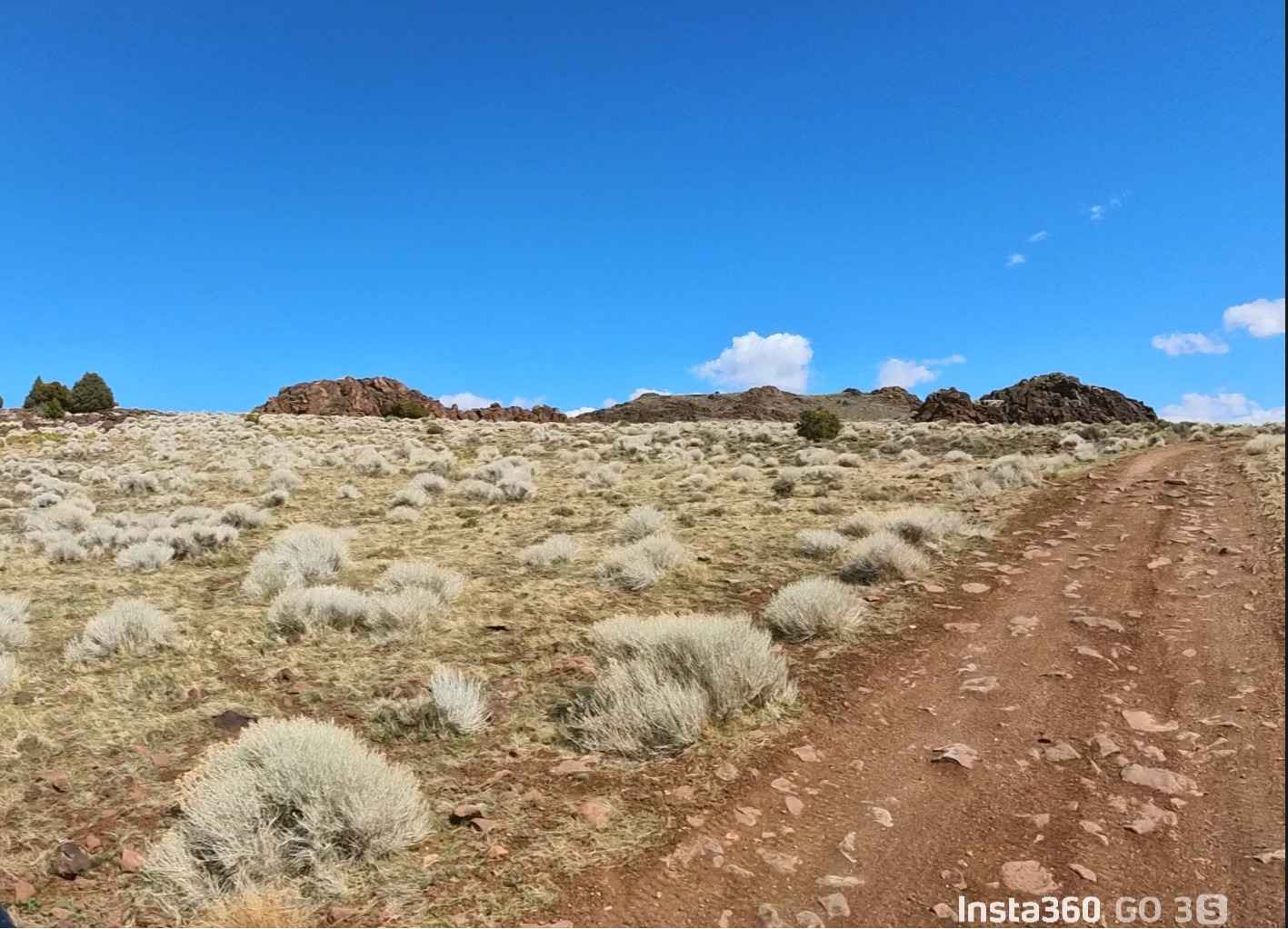
This trail is an engaging, fast-paced "rip" across the expansive floor of the Ralston Valley. The route offers a unique transition of Nevada's character, beginning at its southern end near an active gravel pit and concrete plant. In this industrial zone, the road is exceptionally wide but heavily washboarded due to industrial traffic. However, once you push past the plant and into the heart of the valley, the trail narrows into a traditional high-desert two-track. The noise of civilization quickly fades away. The drive is remarkably smooth, with very few washouts to interrupt your pace. The true draw of this trail is the unobstructed, 360-degree mountain views. As you cruise north, the jagged peak of Thunder Mountain dominates the eastern horizon, while the silhouettes of Black Mountain and San Antonio Mountain rise dramatically to the west. This is prime habitat for Great Basin wildlife. Keep a sharp eye out for Pronghorn Antelope racing across the flats and Sage Grouse flushing from the silver sagebrush. Like many valley-floor trails, this route consists of fine alkaline dust and silt. It can become very slick and "greasy" during a rare rainstorm. There is no winter maintenance on this route. Expect only one bar of "useless" LTE service. It is generally insufficient for data or reliable calls. Download offline maps before leaving the Tonopah area.
Photos of Ralston Valley Road
Difficulty
Once the road transitions to two-track, it becomes narrow. Be prepared to use the occasional wide spot to allow others to pass.
History
The Ralston Valley has long served as a vital corridor for the Tonopah mining district. While the "Silver Queen" (Tonopah) was the center of wealth, the surrounding valleys provided the materials needed to build it. The gravel pits and mineral sites you see today are modern continuations of a 120-year history of resource extraction. In the early 1900s, this valley floor was traversed by freight teams and early automobiles traveling between Tonopah and the outlying boomtowns of the San Antonio Range.
Status Reports
Ralston Valley Road can be accessed by the following ride types:
- High-Clearance 4x4
- SUV
- SxS (60")
- ATV (50")
- Dirt Bike
Ralston Valley Road Map
Popular Trails
Logandale Main Loop 01
Kamma Mountains

River End Road Spring
The onX Offroad Difference
onX Offroad combines trail photos, descriptions, difficulty ratings, width restrictions, seasonality, and more in a user-friendly interface. Available on all devices, with offline access and full compatibility with CarPlay and Android Auto. Discover what you’re missing today!