Mcmaughn Canyon Trail
Total Miles
6.7
Technical Rating
Best Time
Spring, Summer, Fall
Trail Type
High-Clearance 4x4 Trail
Accessible By
Trail Overview
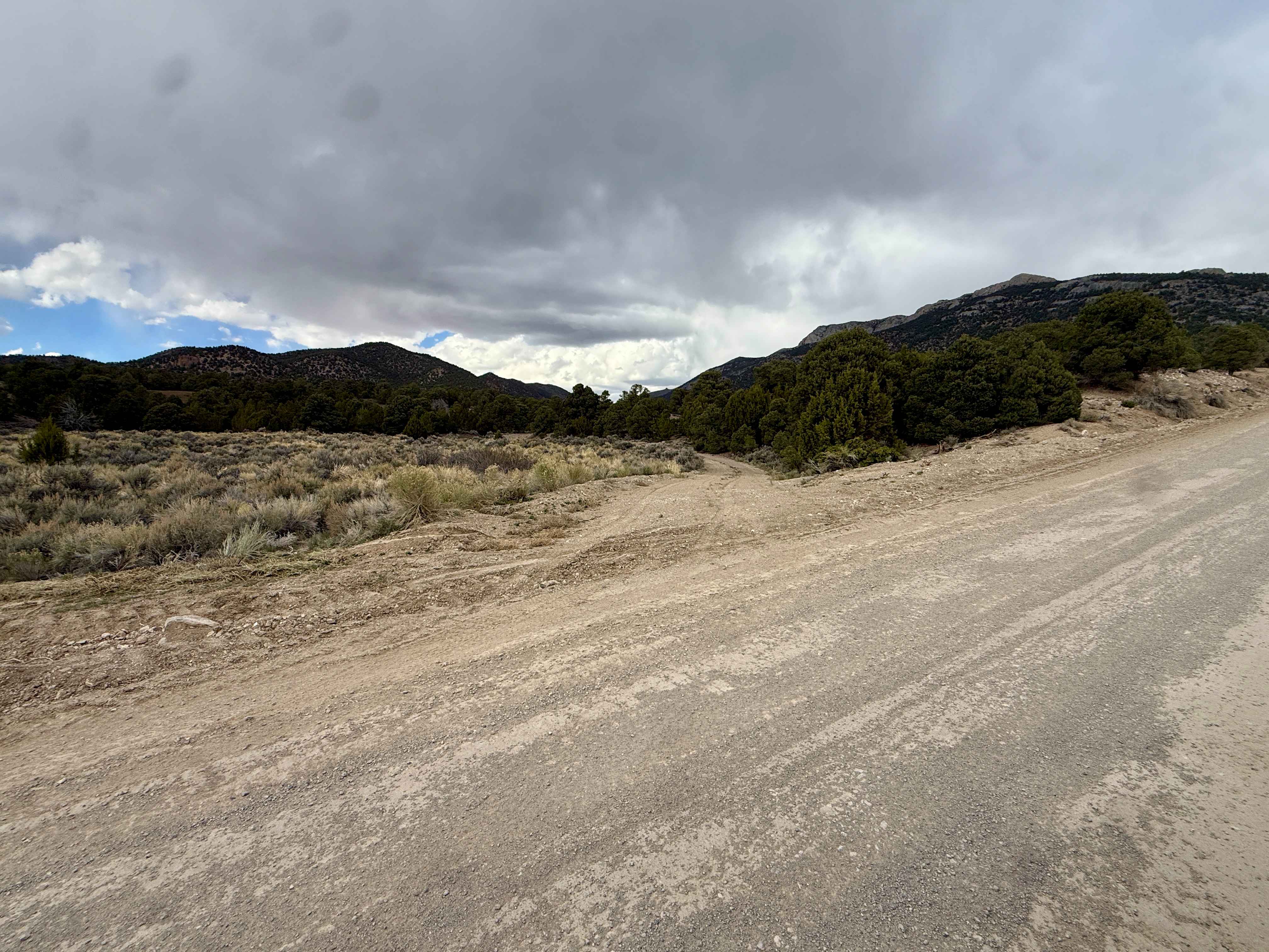
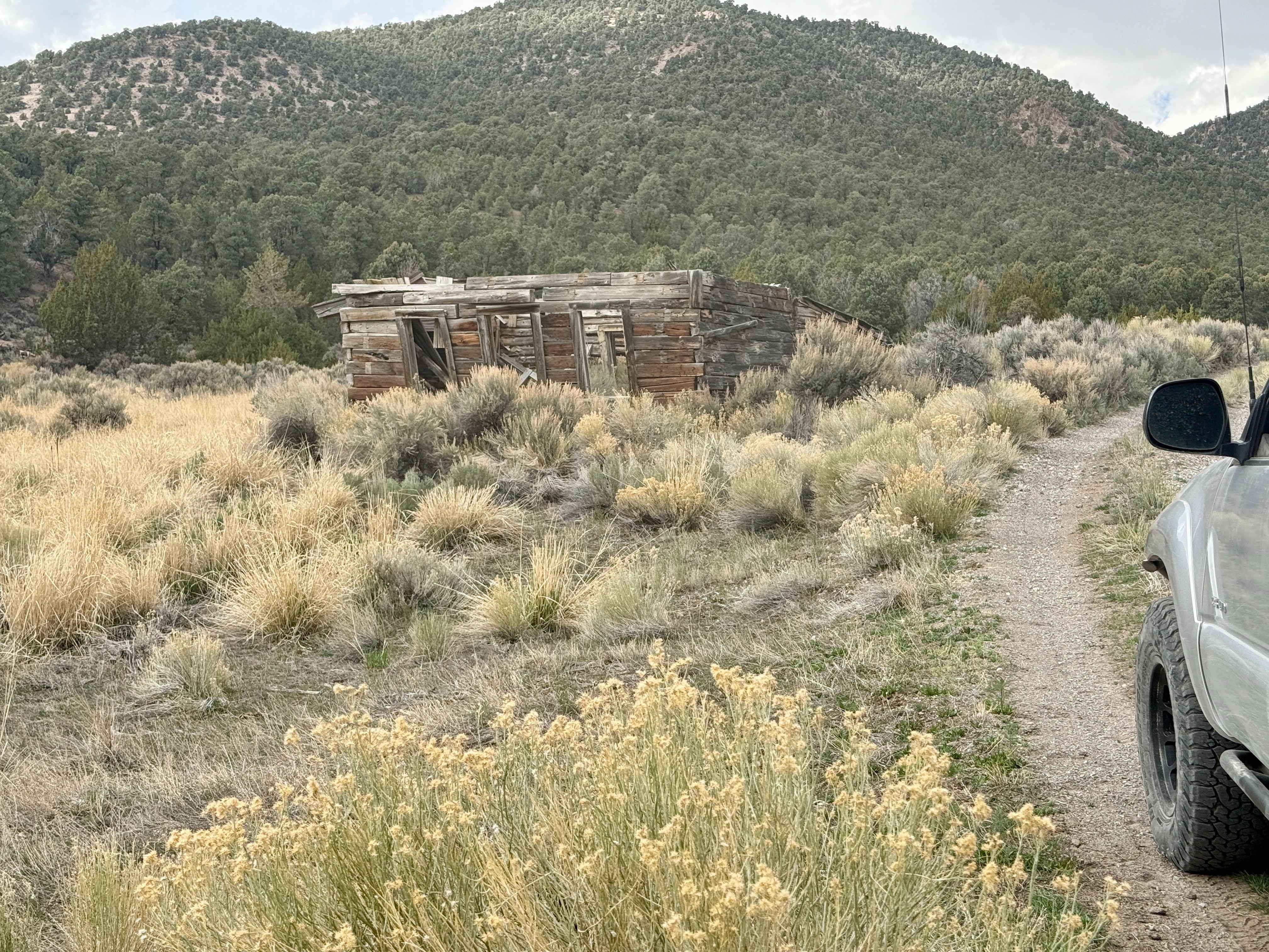
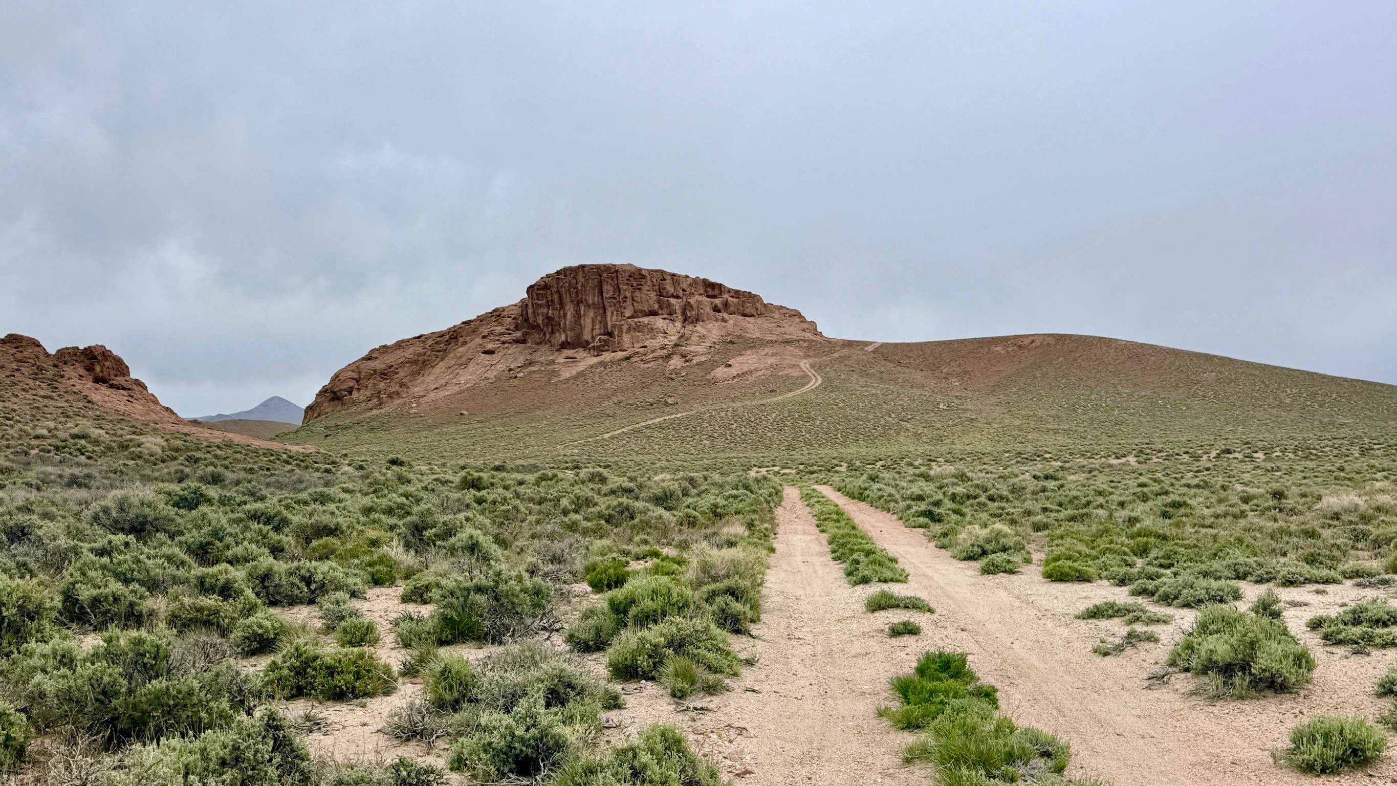
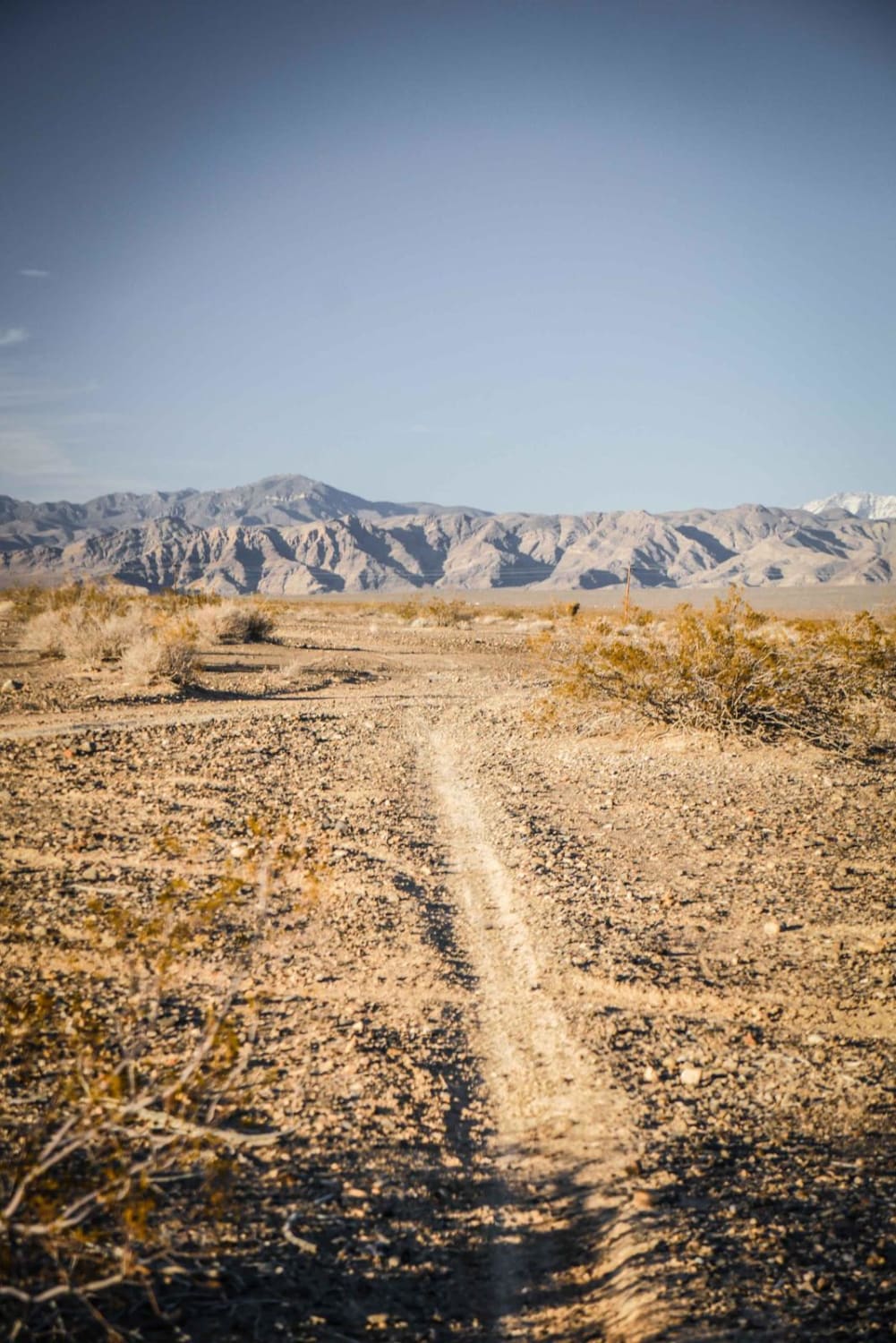
Beautiful canyon trail up to an amazing viewpoint to see in all directions. The route winds in and around multiple trees and plants along the stream of water leaving the mountains. You'll pass some grassy areas with water sources and some old buildings. There are a couple of trails off the sides of this trail where some mining has taken place. There's a rather steep climb to get to the top of the mountain that contains some loose gravel. I was able to pull a winch line to assist me to the top in the loose gravel, which is why I'm rating this a 5. That's the only feature that is difficult on this trail. The climb to the top for the views is well worth the extra effort.
Photos of Mcmaughn Canyon Trail
Difficulty
There's a rather steep climb to get to the top of the mountain that contains some loose gravel. I was able to pull a winch line to a tree to assist me to the top in the loose gravel, which is why I'm rating this a 5. That's the only feature that is difficult on this trail. The climb to the top for the views is well worth the extra effort.
Status Reports
Mcmaughn Canyon Trail can be accessed by the following ride types:
- High-Clearance 4x4
- SxS (60")
- ATV (50")
- Dirt Bike
Mcmaughn Canyon Trail Map
Popular Trails
Park Canyon - FS 43441
McKinney Tanks - FS 44459
Front Site Overlook
The onX Offroad Difference
onX Offroad combines trail photos, descriptions, difficulty ratings, width restrictions, seasonality, and more in a user-friendly interface. Available on all devices, with offline access and full compatibility with CarPlay and Android Auto. Discover what you’re missing today!