Cloverdale-Peavine Road
Total Miles
11.8
Technical Rating
Best Time
Spring, Summer, Fall
Trail Type
Full-Width Road
Accessible By
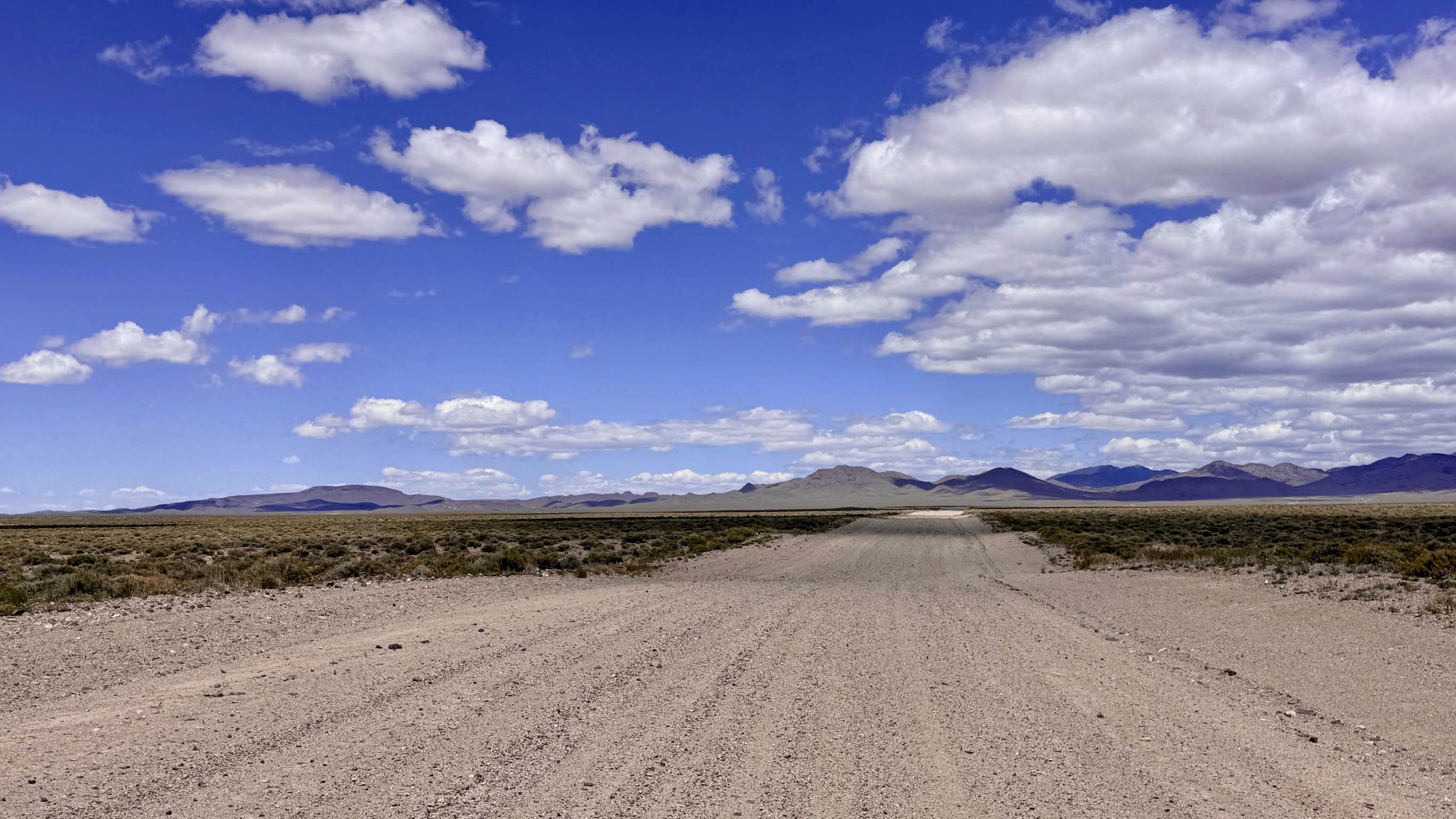
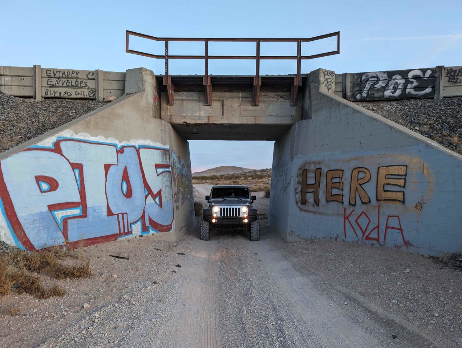
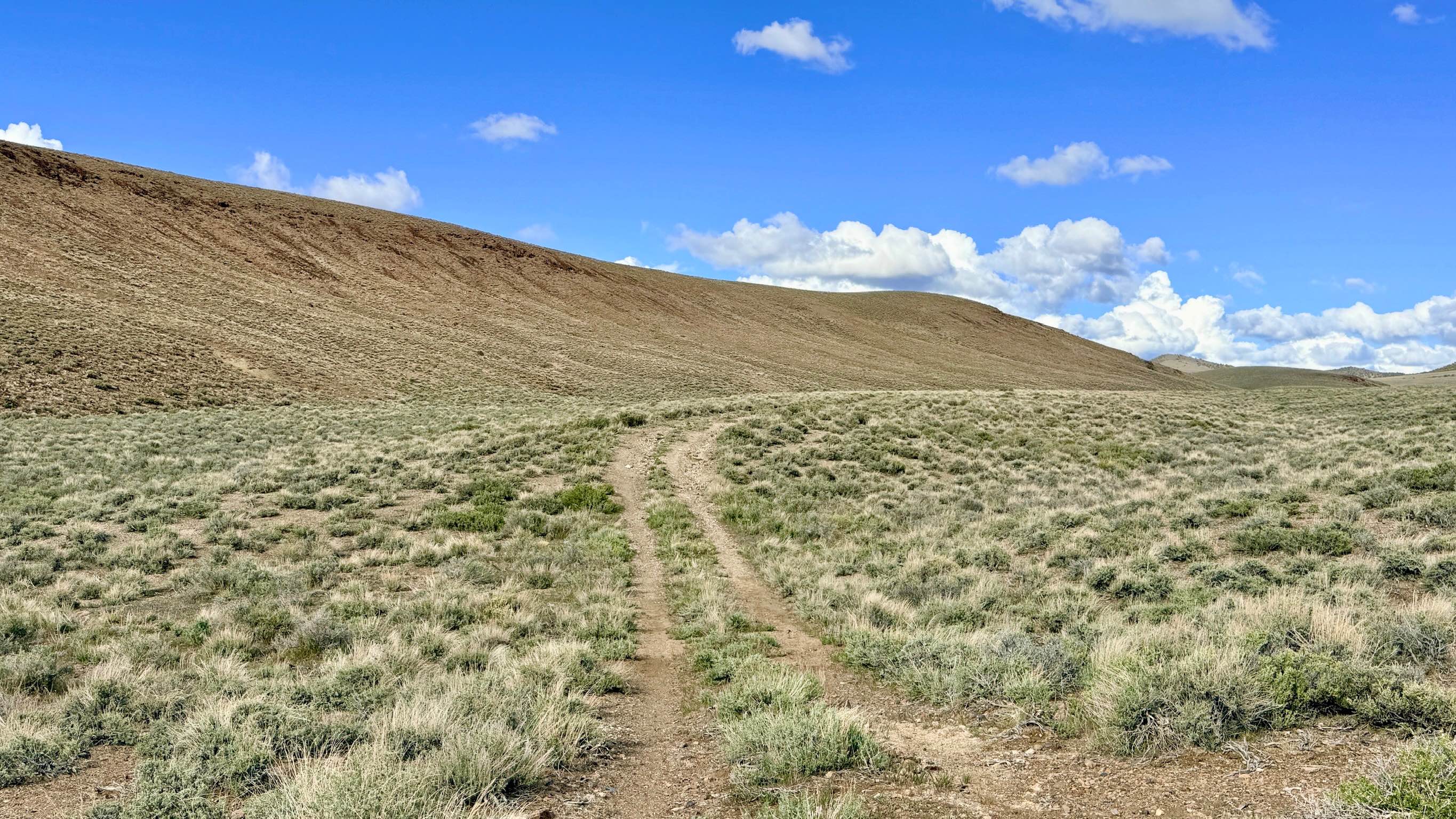
Trail Overview
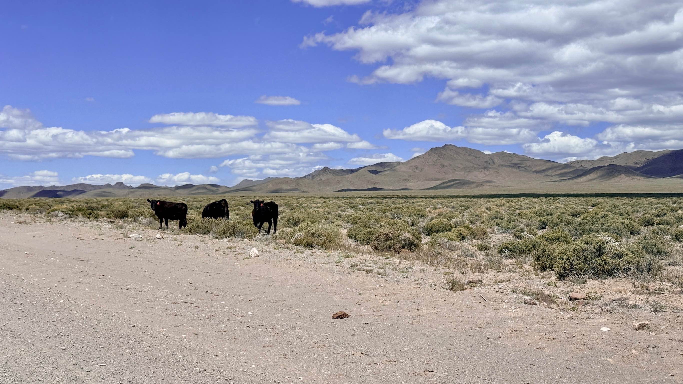
Cloverdale-Peavine Road is a true "highway in the desert," providing a high-speed, well-maintained corridor along the southern edge of the Arc Dome Wilderness. This vital thoroughfare serves as the primary link between sprawling ranching properties, commercial mining operations, and the numerous technical off-road trails that branch into this area. The driving experience is a smooth, wide gravel road that twists and turns through the high desert. You will peak and crest a series of rolling hills, each offering a dramatic new perspective of the surrounding mountain ranges. The route transits from the lower Peavine Road up toward the historic Cloverdale Ranch area. Because it is a primary access route for local industry and agriculture, the road is exceptionally wide and graded. Keep an eye on the horizon for Pronghorn Antelope and various raptors that patrol this wide-open corridor. Whether you are staging for a deep-wilderness hiking trip or simply moving between remote canyon systems, this road provides a reliable and scenic passage. Private Property: The trail terminates near active ranch properties. Please respect all private property boundaries, stay on the designated road, and leave all gates as you found them. Expect zero cell service for the duration of this trail. The vastness of the basin and the nearby mountain ridges create a total signal shadow. Download offline maps before leaving Tonopah.
Photos of Cloverdale-Peavine Road
Difficulty
This is a "working" road. Be highly vigilant for heavy machinery, mining trucks, and ranching vehicles. Always yield the right-of-way and move slowly when passing work sites to minimize dust.
History
The Cloverdale Ranch, established in the late 1800s, was one of the most successful "oasis" ranches in Nevada, utilizing natural springs to produce the hay and beef that fed the thousands of miners in Tonopah. This road follows the historical supply lines that once hummed with the sound of freight wagons and early steam-powered tractors. Its proximity to the Arc Dome Wilderness, designated in 1989, highlights the ongoing effort to balance Nevada's industrial and ranching heritage with the preservation of its most pristine alpine environments.
Status Reports
Cloverdale-Peavine Road can be accessed by the following ride types:
- High-Clearance 4x4
- SUV
- SxS (60")
- ATV (50")
- Dirt Bike
Cloverdale-Peavine Road Map
Popular Trails
Kingsbury Stinger Trail
Boulder City to Jean
South Spencer - FS 43287
The onX Offroad Difference
onX Offroad combines trail photos, descriptions, difficulty ratings, width restrictions, seasonality, and more in a user-friendly interface. Available on all devices, with offline access and full compatibility with CarPlay and Android Auto. Discover what you’re missing today!