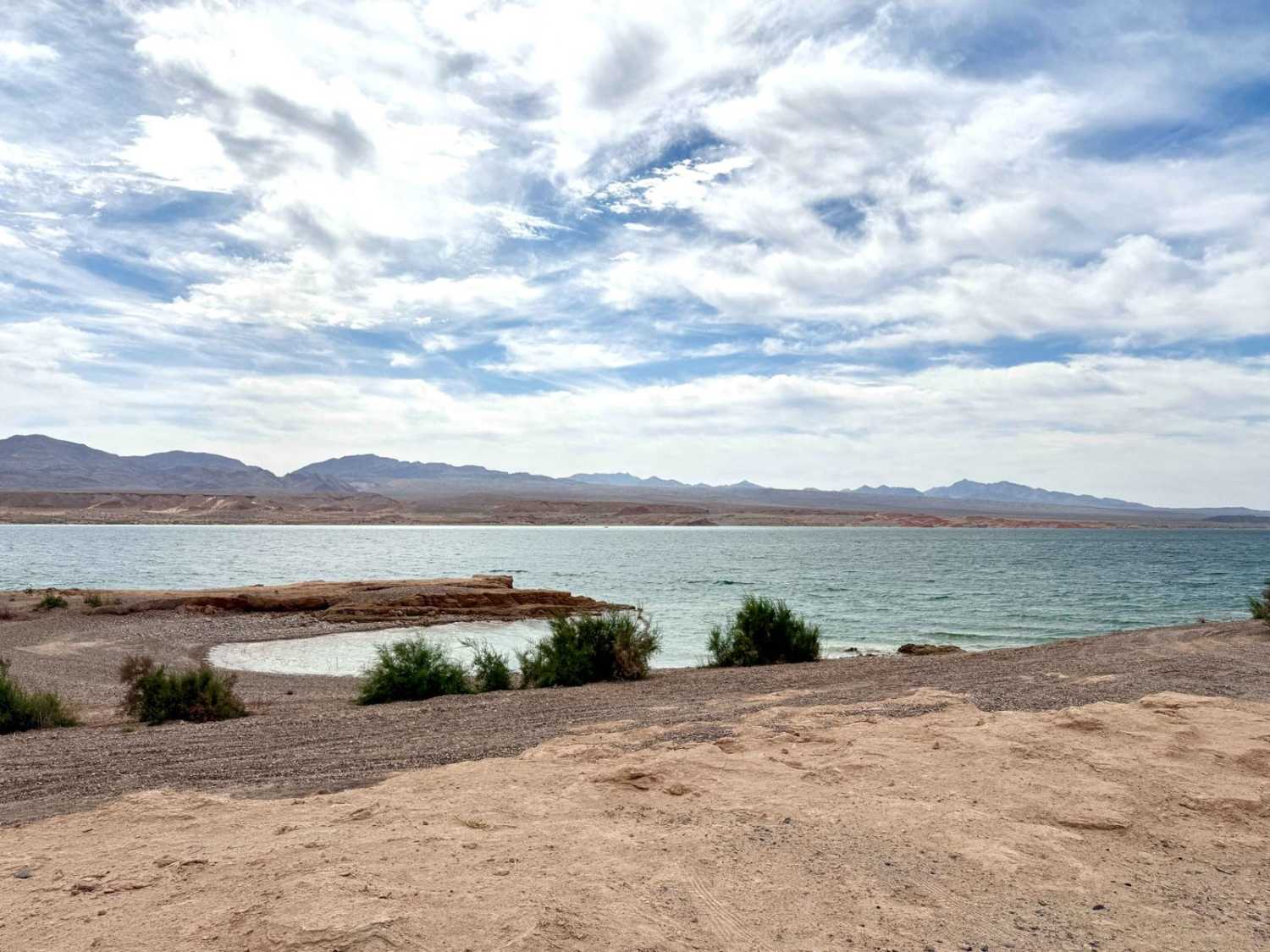
Blue Point Bay
Total Miles
1.6
Technical Rating
Best Time
Spring, Fall, Winter
Trail Type
Full-Width Road
Accessible By
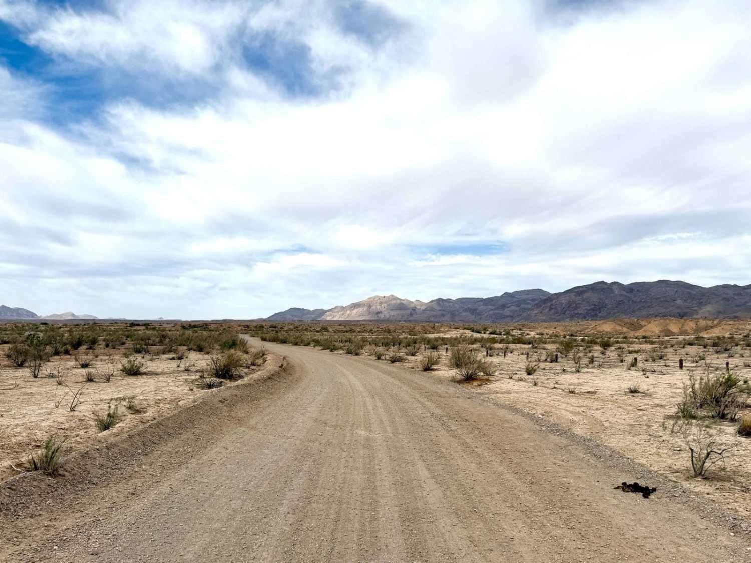
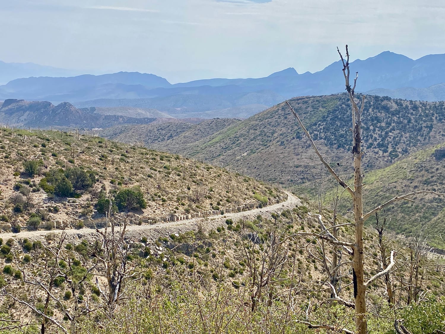
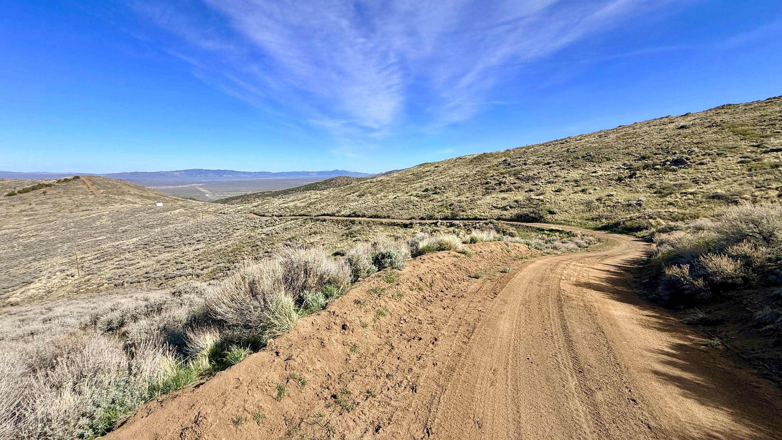
Trail Overview
Blue Point Bay is a primarily easy offshoot trail that leads from the Stewart's Point dispersed camping area down to the lakeside. This route remains technically within the boundaries of the dispersed camping area, making it a convenient choice for those looking to settle in close to the water. The trail is straightforward to navigate until you reach the area below the water line, where you'll need to exercise more caution as the terrain becomes trickier. Here, it's essential to pull over to allow oncoming traffic to pass, ensuring a smooth experience for everyone enjoying this beautiful location. Many great camping spots around Blue Point Bay invite outdoor enthusiasts to camp and enjoy the scenic views. Important Note: Cell service is unavailable in this area, so download your offline maps before your journey. As the trail may become muddy when wet, preparation with adequate water and supplies is crucial.
Photos of Blue Point Bay
Difficulty
This trail is rated as a 2, reflecting its generally easy navigation with some careful driving needed, particularly toward the end as you approach the lakeside, where you may encounter silt beds and soft gravel sections with the occasional short shelf.
Blue Point Bay can be accessed by the following ride types:
- High-Clearance 4x4
- SUV
- SxS (60")
- ATV (50")
- Dirt Bike
Blue Point Bay Map
Popular Trails
Harris Spring Road

Overton Wash Exit
Flat Top Mesa Loop Trail
Marshall Canyon - FS 43241
The onX Offroad Difference
onX Offroad combines trail photos, descriptions, difficulty ratings, width restrictions, seasonality, and more in a user-friendly interface. Available on all devices, with offline access and full compatibility with CarPlay and Android Auto. Discover what you’re missing today!