BLM South Fork Owyhee Crossing
Total Miles
13.2
Technical Rating
Best Time
Spring, Summer, Fall
Trail Type
Full-Width Road
Accessible By
Trail Overview
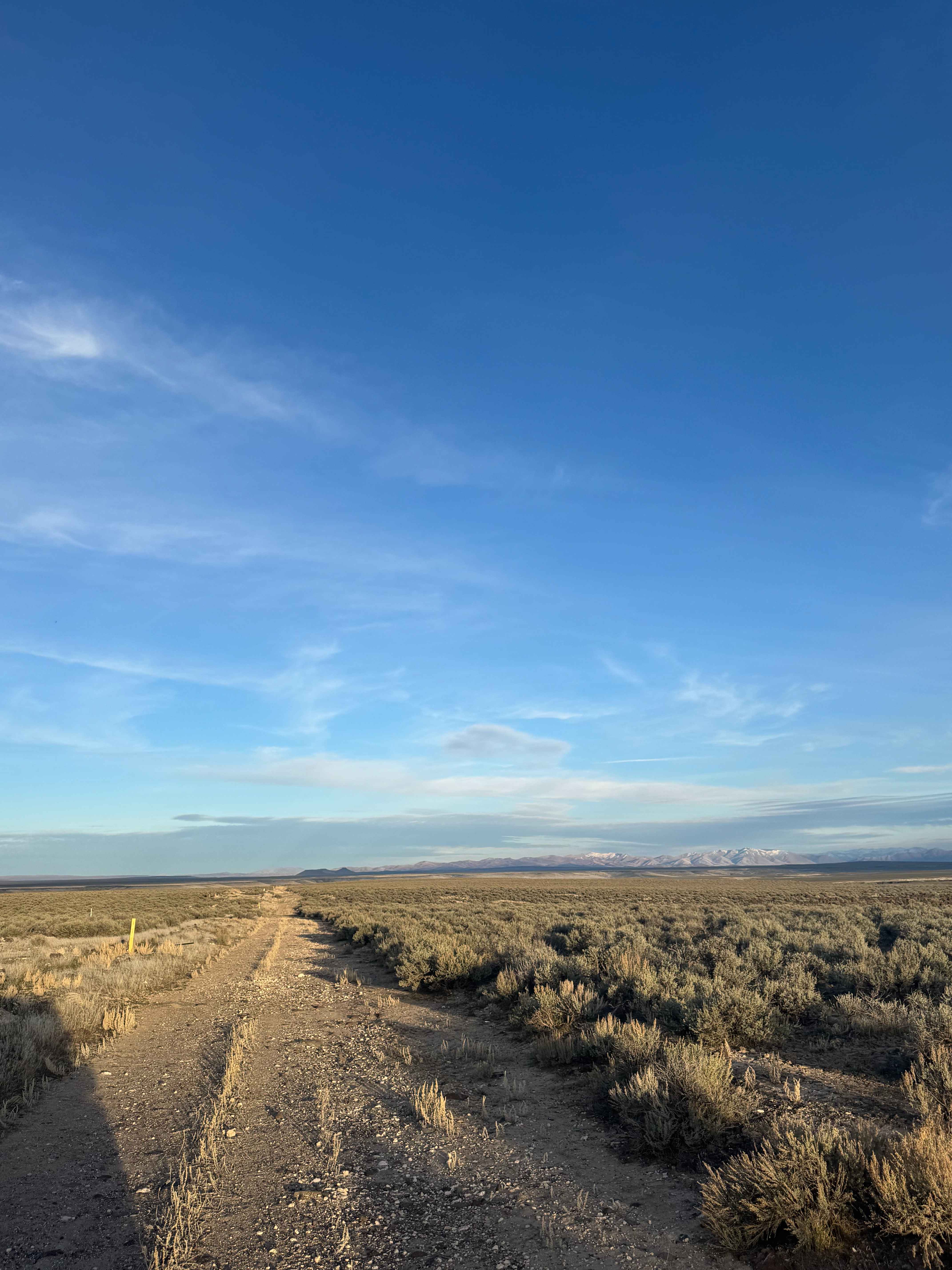
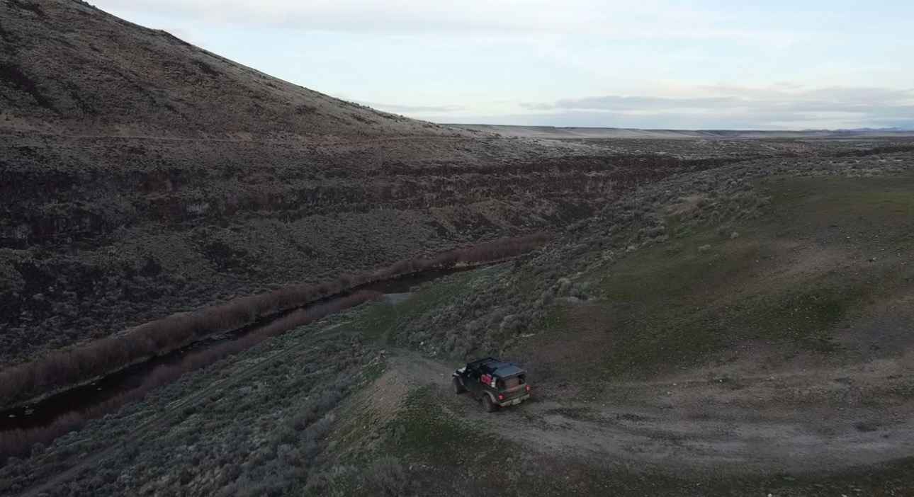
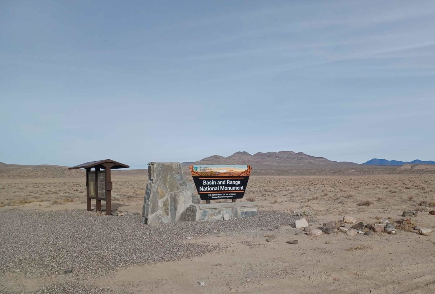
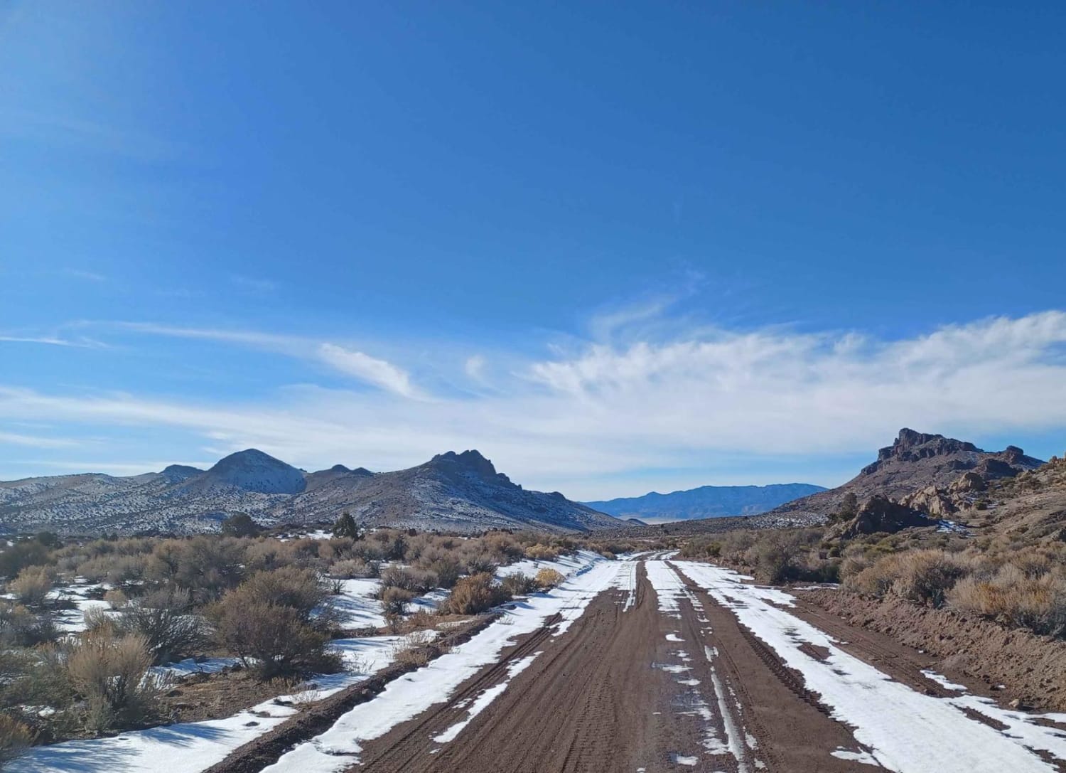
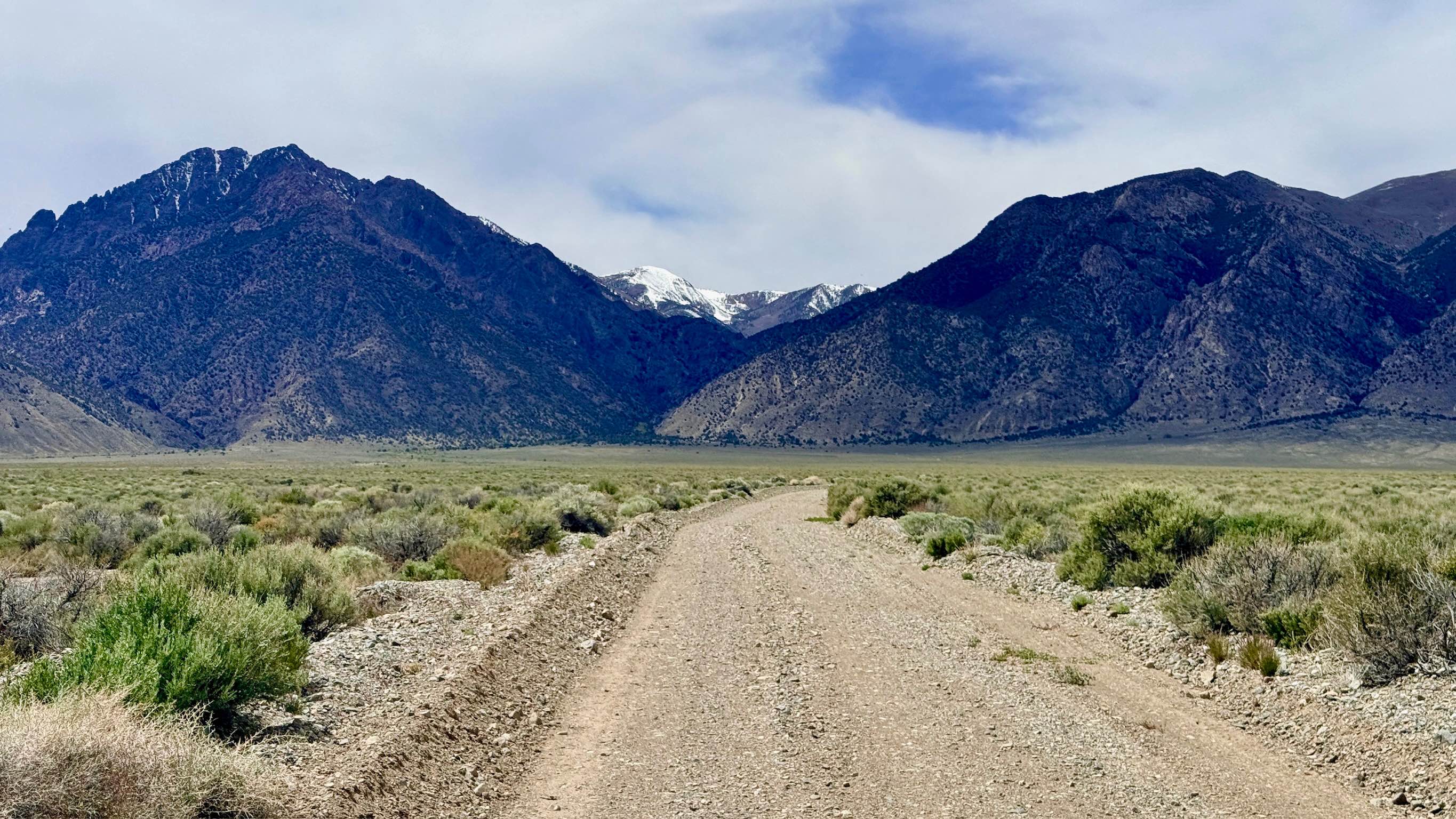
This un-named BLM road leads from the edge of Star Valley Ranch in Idaho down to the South Fork of the Owyhee River Canyon/Crossing in Nevada. The road is two track for a good ways through sagebrush fields until it widens and becomes a normal dirt trail. The road is unmaintained and bumpy in places but any vehicle should be able to traverse this trail until you reach the canyon. The road down into the canyon is a steep, rocky shelf road with a decent drop off. The water crossing is approximately one and a half to two feet deep. This crossing is not solid rock bottom and has the potential to be slick, requiring 4x4 and high clearance. Enjoy beautiful views of the canyon with plentiful camping locations near the river, and on the drive to the canyon you have beautiful views of the surrounding Nevada Mountains, the Jarbidge and Independence ranges.
Photos of BLM South Fork Owyhee Crossing
Difficulty
River Crossing approximately 1 and a half to two feet deep.
Status Reports
BLM South Fork Owyhee Crossing can be accessed by the following ride types:
- High-Clearance 4x4
- SUV
- SxS (60")
- ATV (50")
- Dirt Bike
BLM South Fork Owyhee Crossing Map
Popular Trails
Seaman Wash Road
Wheeler Pass
North Twin River - FS 43282
The onX Offroad Difference
onX Offroad combines trail photos, descriptions, difficulty ratings, width restrictions, seasonality, and more in a user-friendly interface. Available on all devices, with offline access and full compatibility with CarPlay and Android Auto. Discover what you’re missing today!