Wheeler Pass
Total Miles
26.1
Technical Rating
Best Time
Spring, Summer, Fall, Winter
Trail Type
Full-Width Road
Accessible By
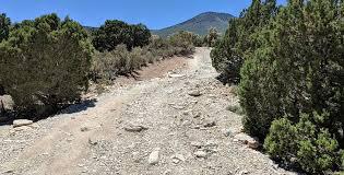
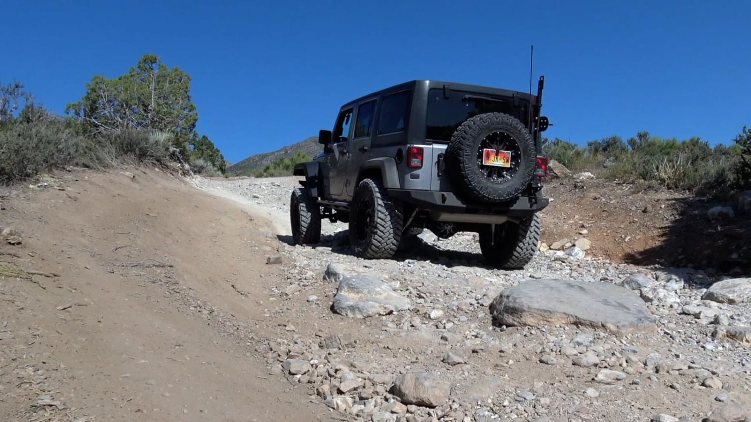
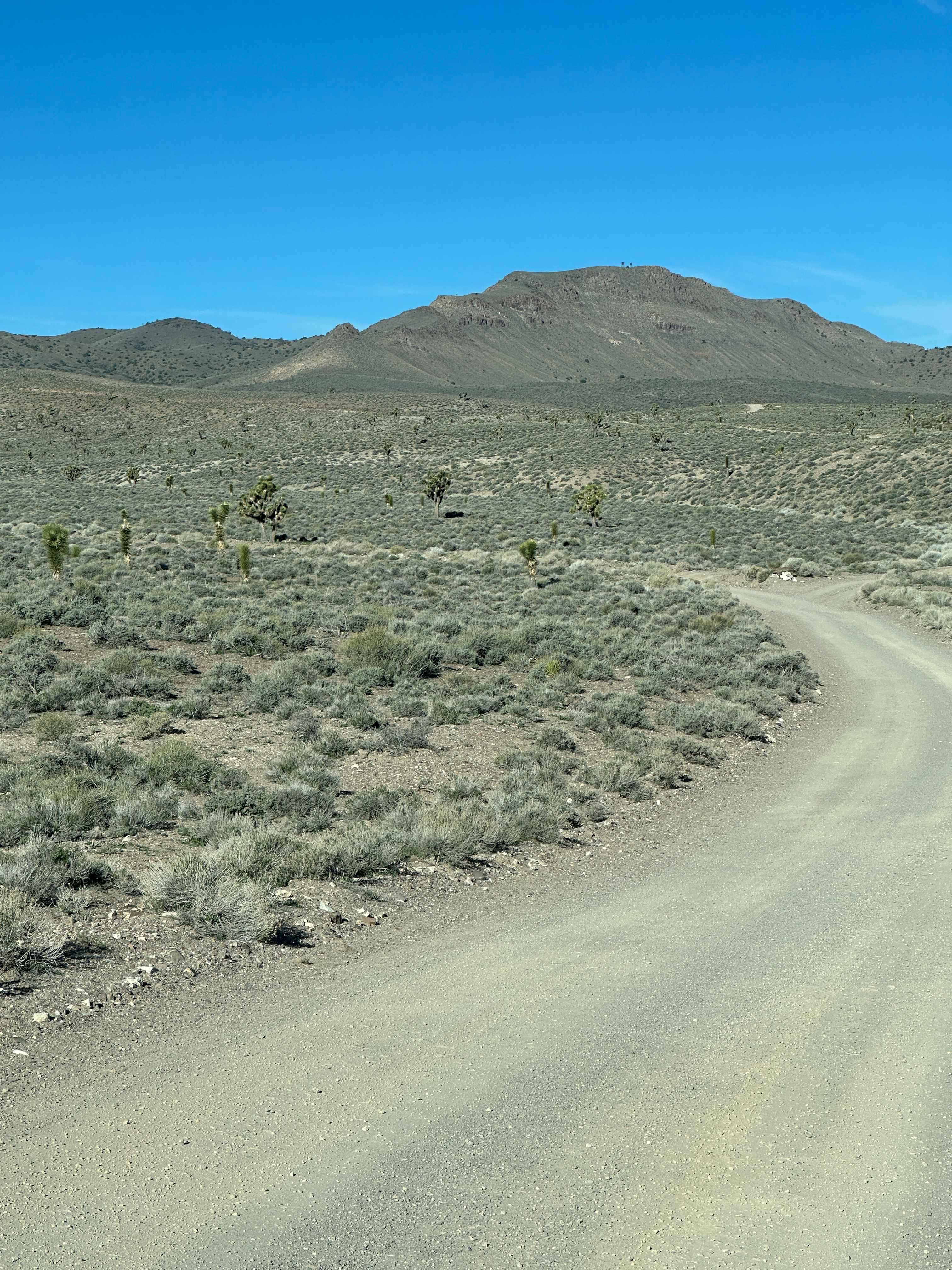
Trail Overview
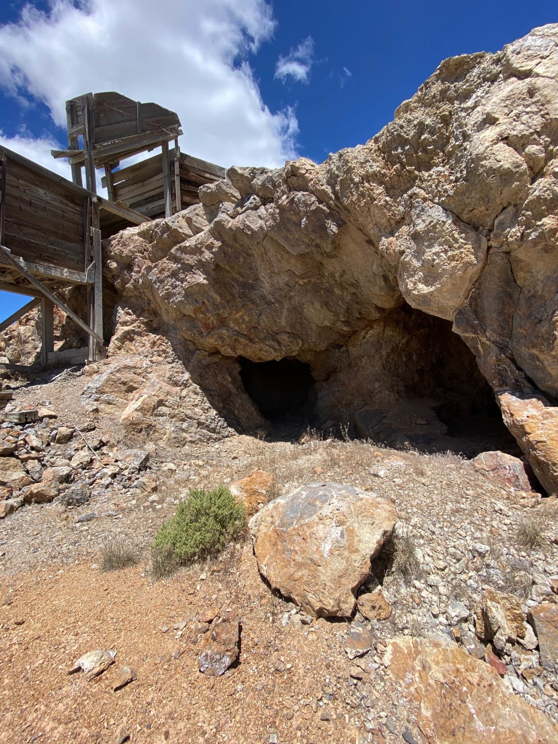
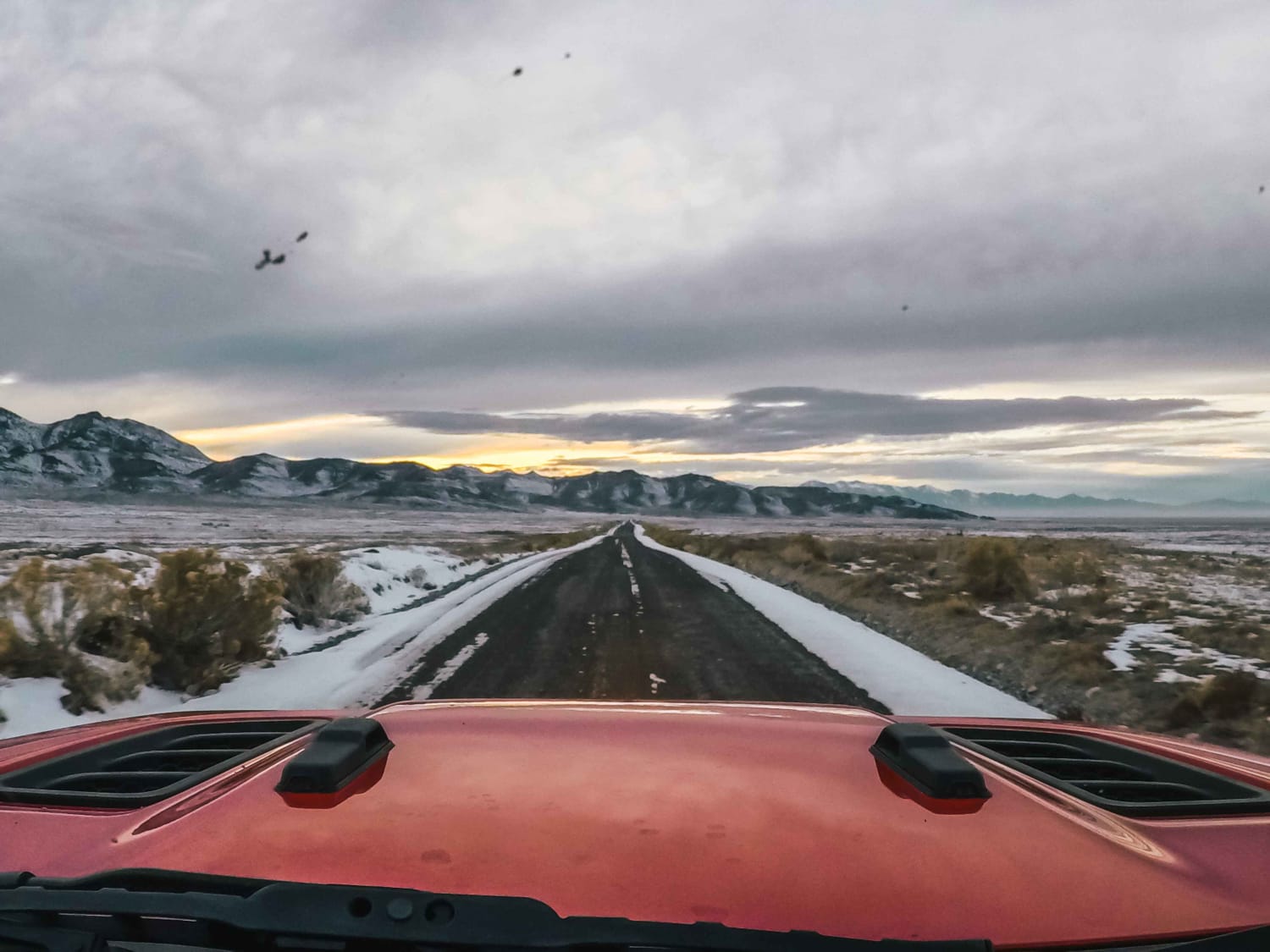
Starting in Cold Creek, the Wheeler Pass trail takes you up and over the Spring Mountains. The trail was the main way to travel from the Indian Springs area to Pahrump in the 1800s. The trail is rough and rocky but passable in a high-clearance 4x4. Fantastic views of the desert floor await as you climb towards the summit. On the east side of the trail, don't forget to stop and visit the historic Charcoal Kilns that date back to the late 1800s. There will be snow in winter, so check the weather before heading out.
Photos of Wheeler Pass
Difficulty
The road is rough and rocky, and has a few steep spots, but is easily passable in a stock 4x4 SUV or pickup. Winter snow can make the trail more difficult.
History
Of some historical significance are the charcoal kilns on the west side of the trail. Called the Tecopa charcoal ovens and located in the Wheeler wash, the kilns were built in 1875. Because of the forests in the area, wood was plentiful and was supposed to be used to make the charcoal to smelt minerals at a nearby mine.
Status Reports
Wheeler Pass can be accessed by the following ride types:
- High-Clearance 4x4
- SUV
- SxS (60")
- ATV (50")
- Dirt Bike
Wheeler Pass Map
Popular Trails
Gemfield Access Trail
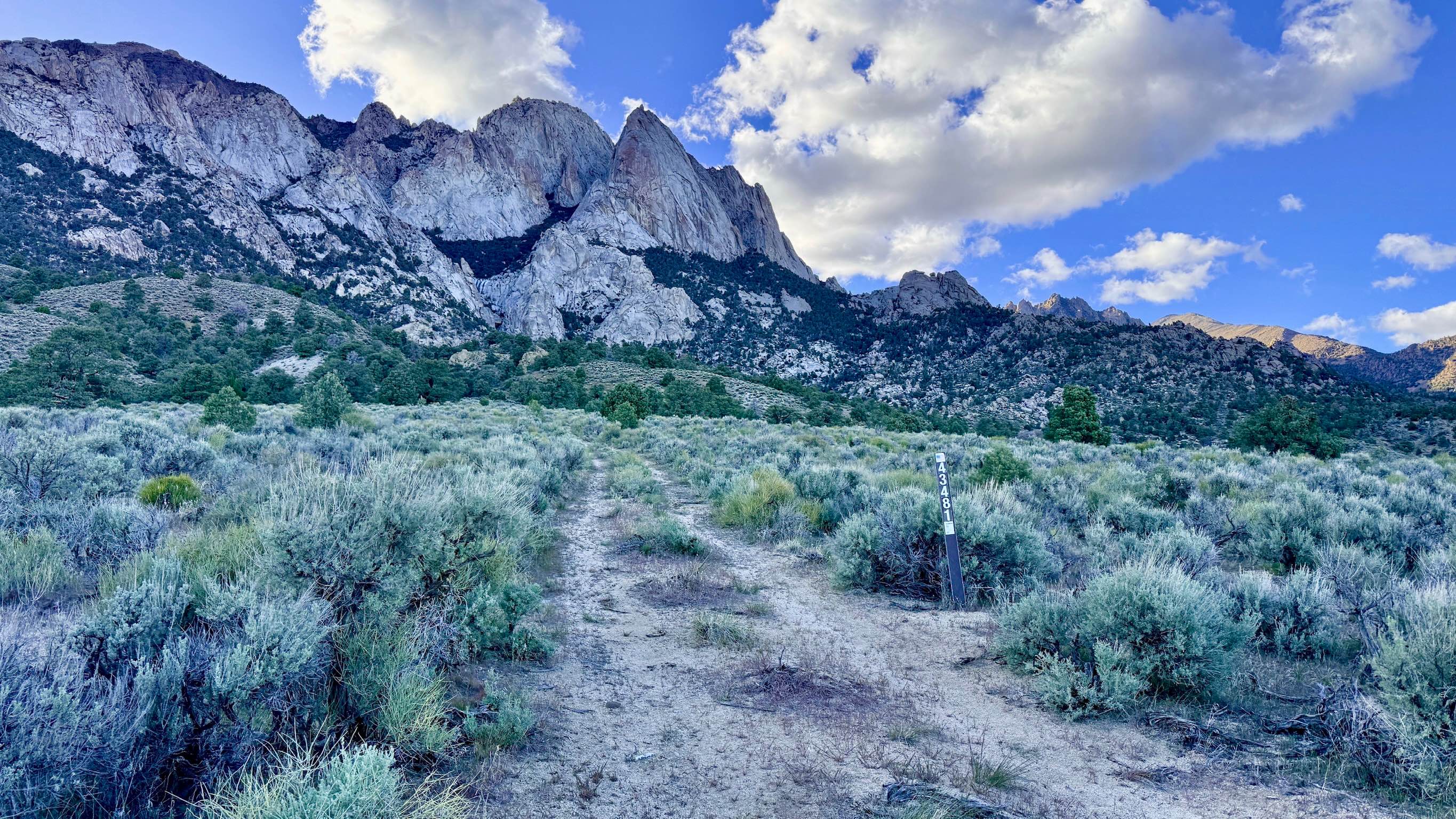
McLeod Bypass - FS 43481
Buena Vista Valley
Pony Express Trail
The onX Offroad Difference
onX Offroad combines trail photos, descriptions, difficulty ratings, width restrictions, seasonality, and more in a user-friendly interface. Available on all devices, with offline access and full compatibility with CarPlay and Android Auto. Discover what you’re missing today!