Bank Spring - FS 44450
Total Miles
8.1
Technical Rating
Best Time
Spring, Summer, Fall
Trail Type
Full-Width Road
Accessible By
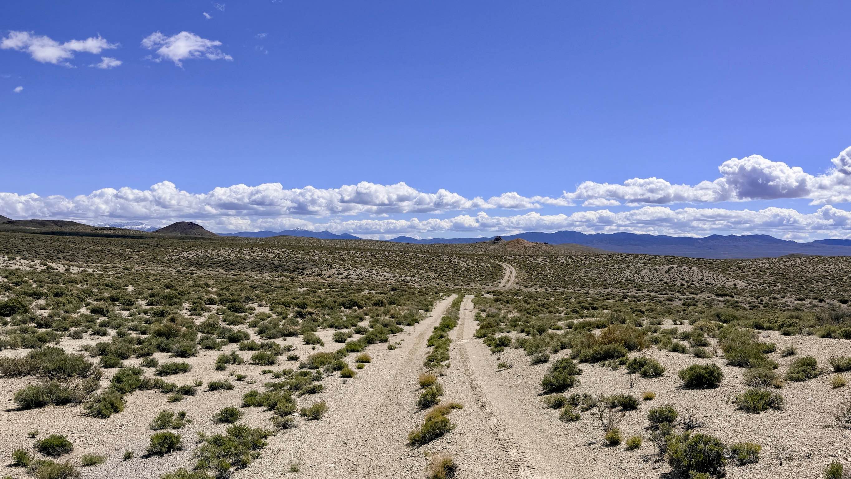
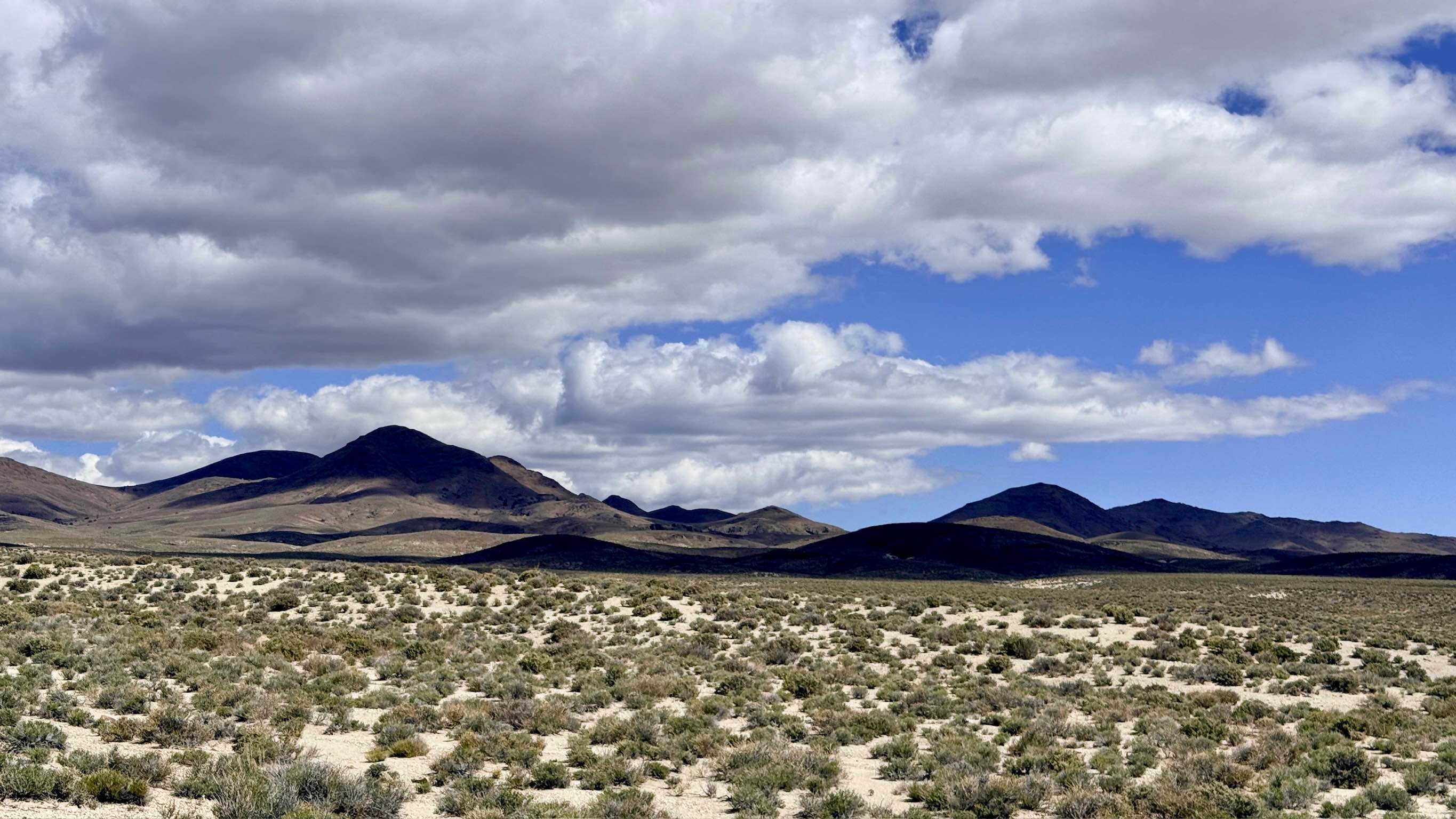
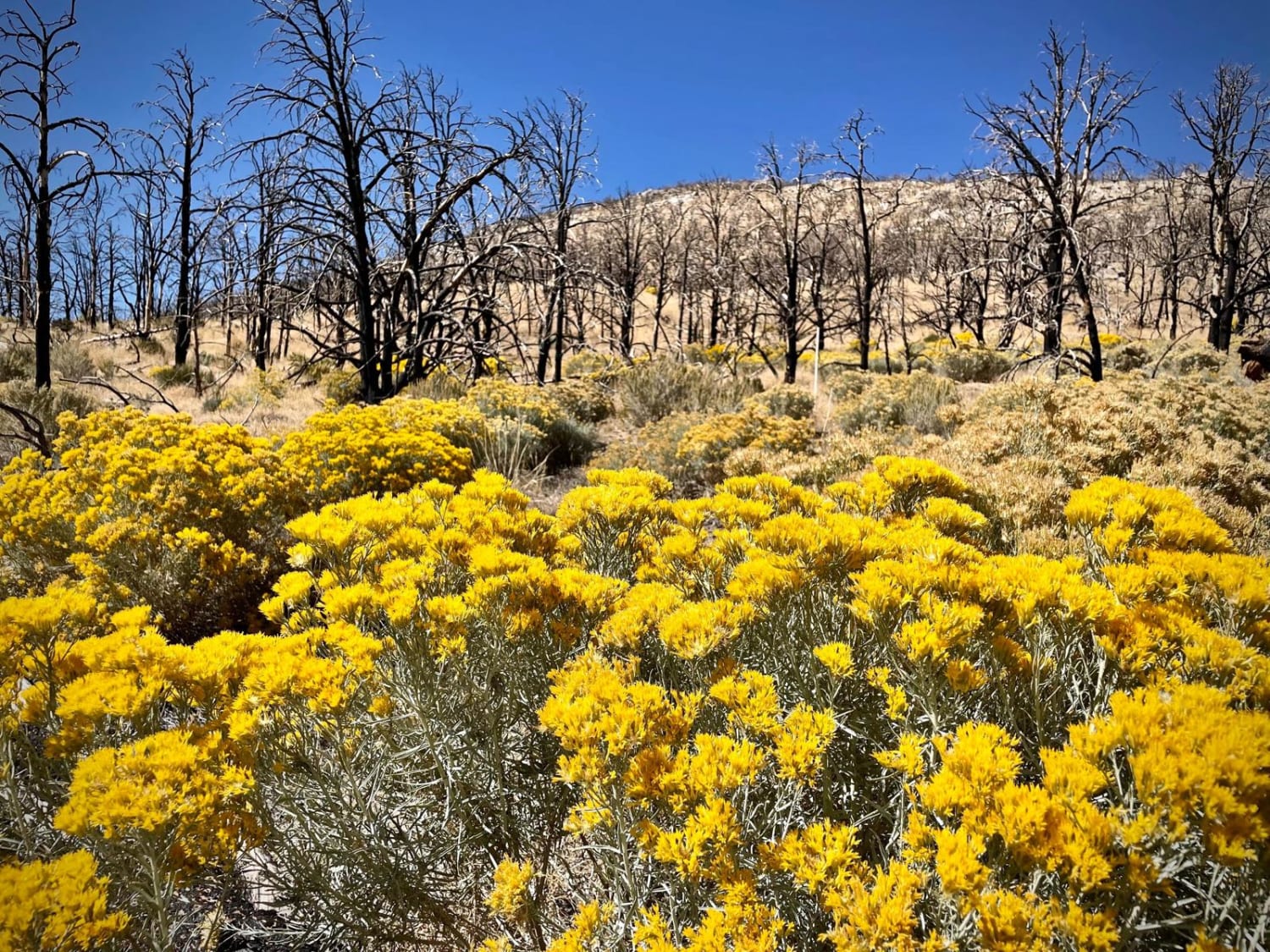
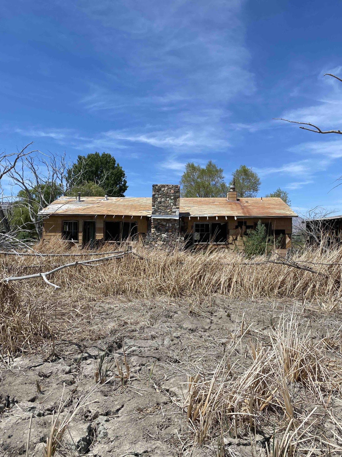
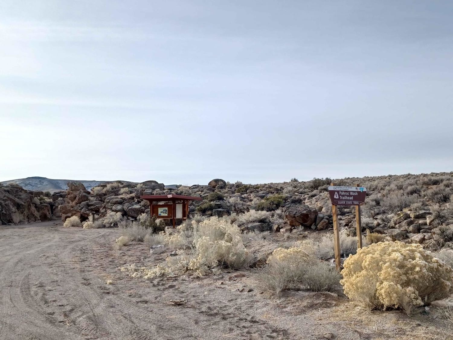
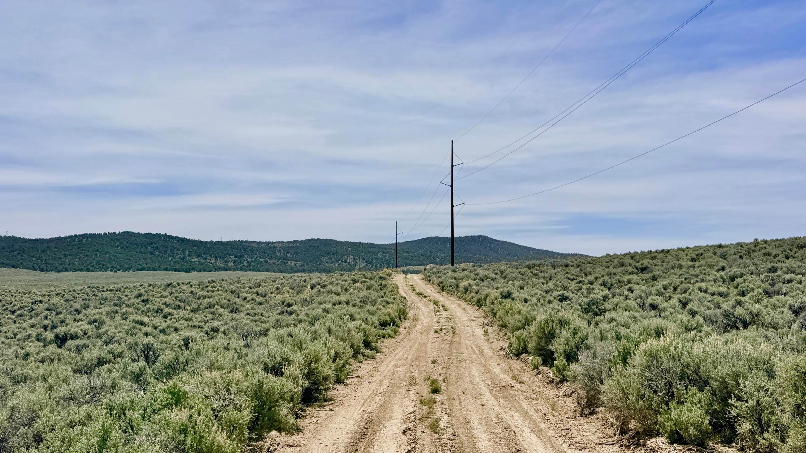
Trail Overview
This is a captivating trail that carries explorers from the sun-bleached valley floor into the foothills of the southern Toiyabe Range. The route serves as a dedicated tour of the area's biological lifeblood: the natural springs. Bank Spring itself is a vital desert oasis, currently utilized as a primary watering hole for local livestock and high-desert wildlife. While the southern portion of the trail and the main valley floor sections consist of wide-open, low-growing sagebrush, the northern segment of the route presents a significant contrast of overgrown thickets where the vegetation has completely reclaimed the track. As you traverse the valley floor, the trail frequently dips into and out of natural drainages. These transitions are the primary technical challenge of the route, requiring slow speeds and a focused eye to navigate. This is a premier corridor for wildlife spotting; it is not uncommon to catch a glimpse of Pronghorn Antelope or Sage Grouse. Keep an eye out for a few high-quality dispersed campsites tucked into the hills, offering incredible solitude far from the main access roads. This is active cattle country. Please yield the right-of-way and move slowly around blind corners to ensure the safety of the livestock. Expect zero cell service for the duration of this trail. The foothills create a total signal dead zone. Download offline maps before leaving the Tonopah or Highway 376 area.
Photos of Bank Spring - FS 44450
Difficulty
Rated a 3 due to several deep wash crossings. These obstacles feature steep entry and exit angles that can easily catch a low-hanging hitch or front bumper. Careful line selection is required to manage the lopsided ruts within the washes.
Status Reports
Bank Spring - FS 44450 can be accessed by the following ride types:
- High-Clearance 4x4
- SUV
- SxS (60")
- ATV (50")
- Dirt Bike
Bank Spring - FS 44450 Map
Popular Trails
Strawberry Creek Road
Dixie Valley Tanks
Little Boulder
Streshley Springs FS42496
The onX Offroad Difference
onX Offroad combines trail photos, descriptions, difficulty ratings, width restrictions, seasonality, and more in a user-friendly interface. Available on all devices, with offline access and full compatibility with CarPlay and Android Auto. Discover what you’re missing today!