Trail Overview
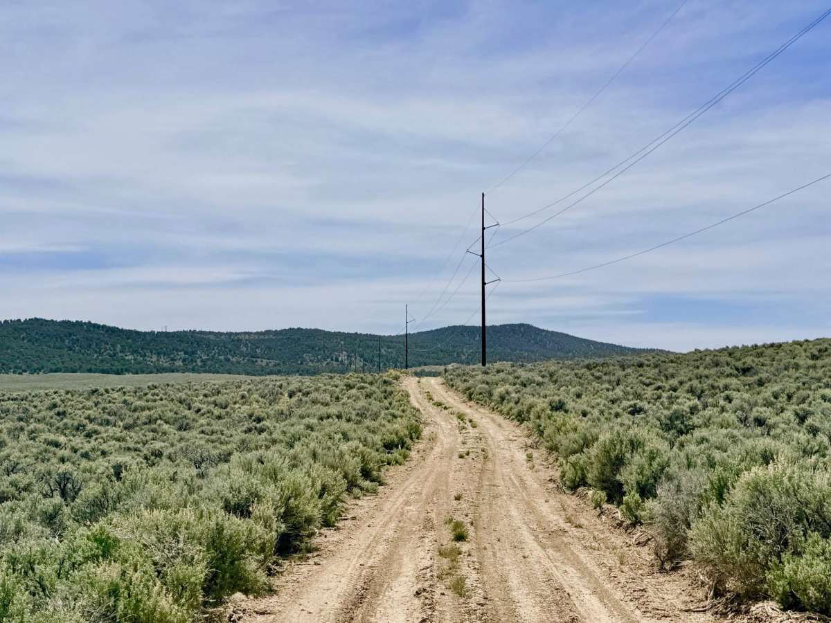
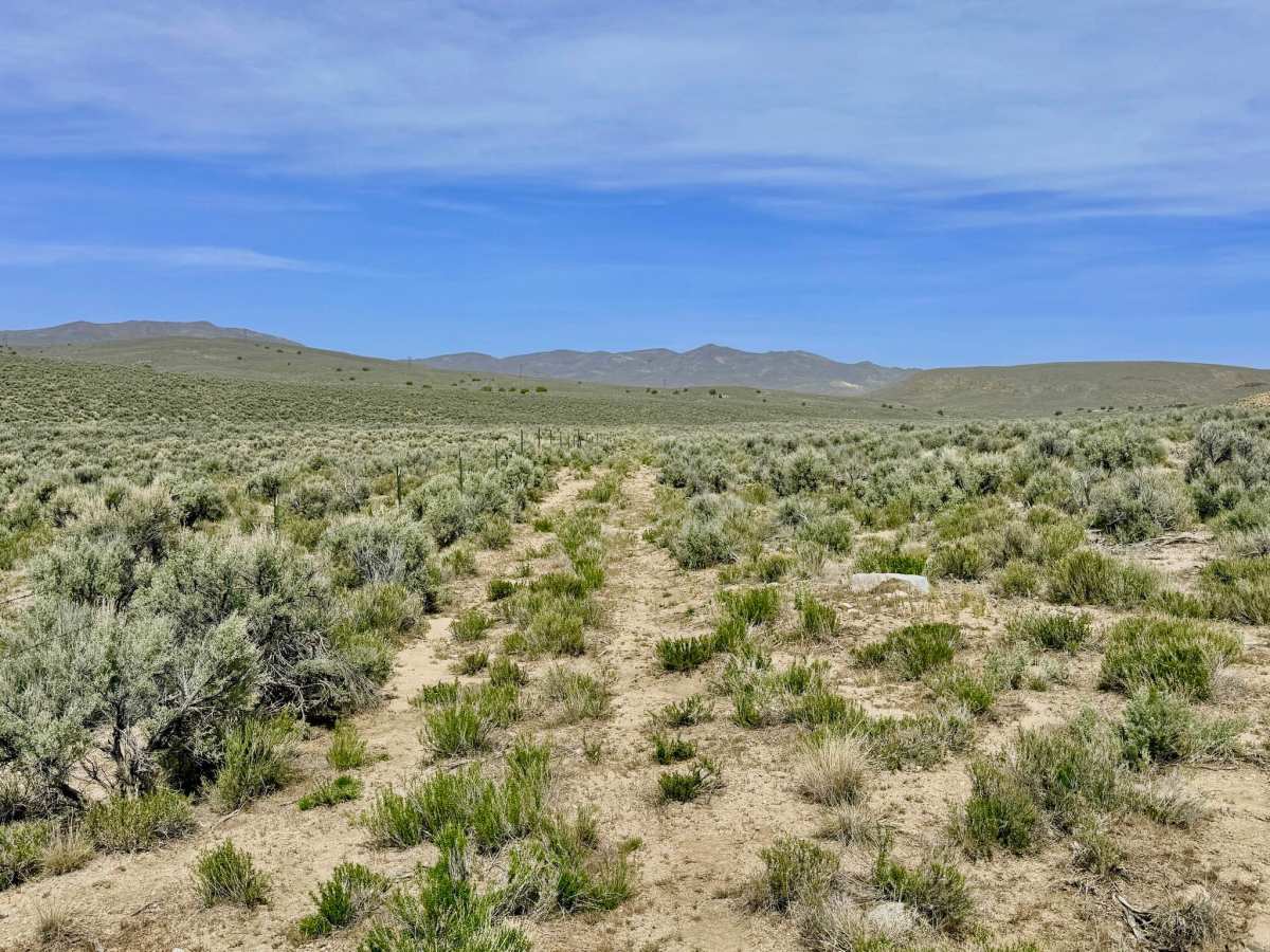
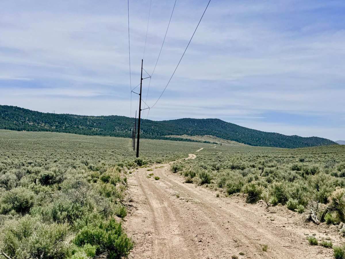
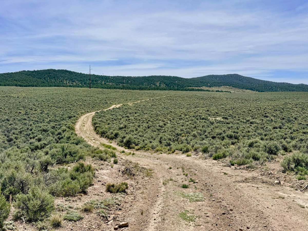
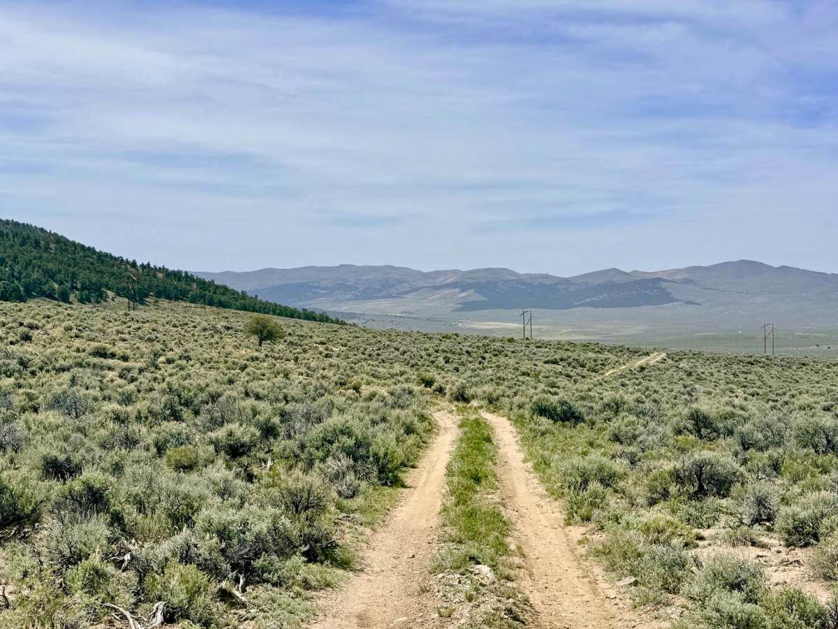
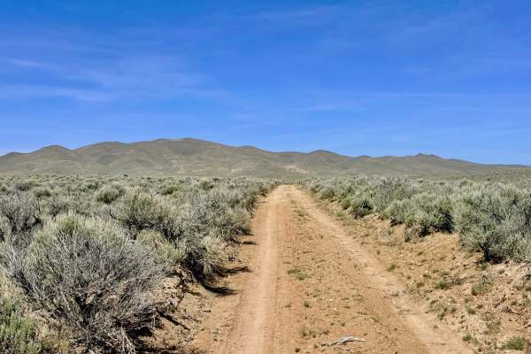
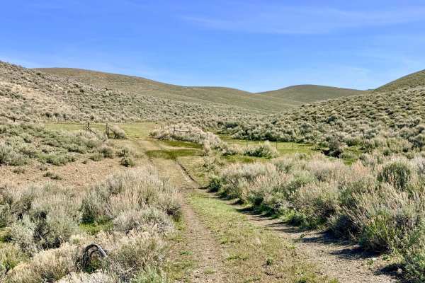
Streshley Springs is a trail of two halves. Starting from the north, the route is a well-graded, easy-to-navigate road that offers several options to branch into the surrounding canyon network. However, as the trail progresses southward, the character of the drive shifts dramatically. The road narrows, the terrain becomes more technical, and the evidence of recent travel fades.
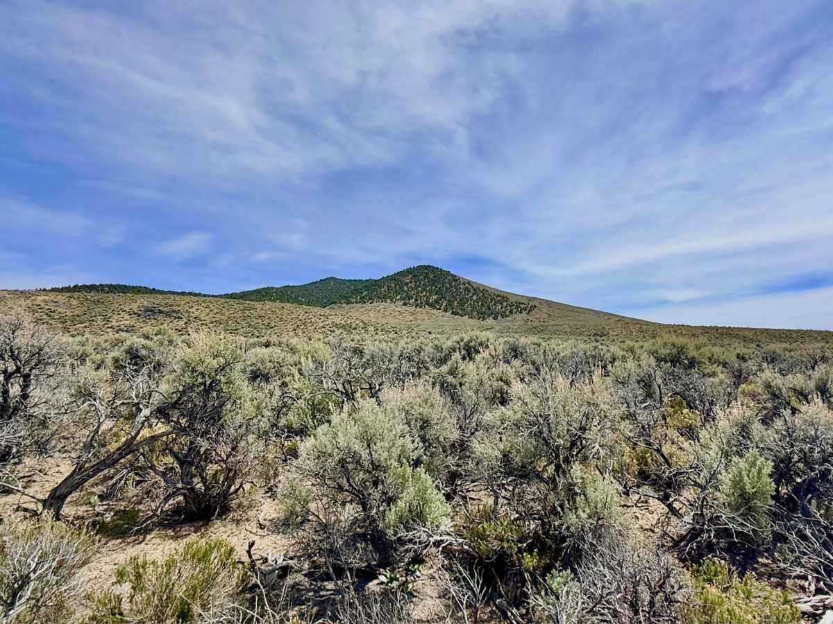
The final stretch of this route takes you through a dense, encroaching grove of high-desert sagebrush. Paint damage is guaranteed in this section, as the brush is too thick to avoid. For those not wishing to test their vehicle's finish, it is highly recommended to divert onto the more established Willow Creek Ranch Cutoff trail. For the adventurous few who push through to the end, the reward is total isolation. The trail terminates at a single, small, relatively flat spot that serves as a premier location for a very private and secluded dispersed camping experience under the vast Nevada sky.
You may find a small amount of intermittent cell service near the southern end of the trail, but it is not reliable for data or navigation. Download offline maps before leaving the Austin area.
This is an extremely remote territory. Carry at least one gallon of water per person per day, extra fuel, and a full-sized spare tire.
Difficulty
Rated a 3 due to off-camber sections caused by deep ruts and washouts. Several steep transitions require careful tire placement and high clearance. The sagebrush at the southern end is dense and will contact the sides of your vehicle. Narrow-body vehicles are better suited for the final sagebrush sections.
History
The name "Streshley" is tied to the early ranching families who settled the Reese River Valley in the mid-to-late 1800s. Springs like these were the literal "liquid gold" of Nevada, providing the only reliable water for miles. This route likely began as a primitive access path for ranchers checking on their stock or for prospectors hoping that the quartz veins in the nearby hills held another "Silver Queen" like the mines in Austin. Today, the trail's reclaiming nature shows just how quickly the Great Basin wilderness can swallow history when it is no longer regularly traversed.