Sugarloaf Road
Total Miles
6.7
Technical Rating
Best Time
Summer
Trail Type
Full-Width Road
Accessible By
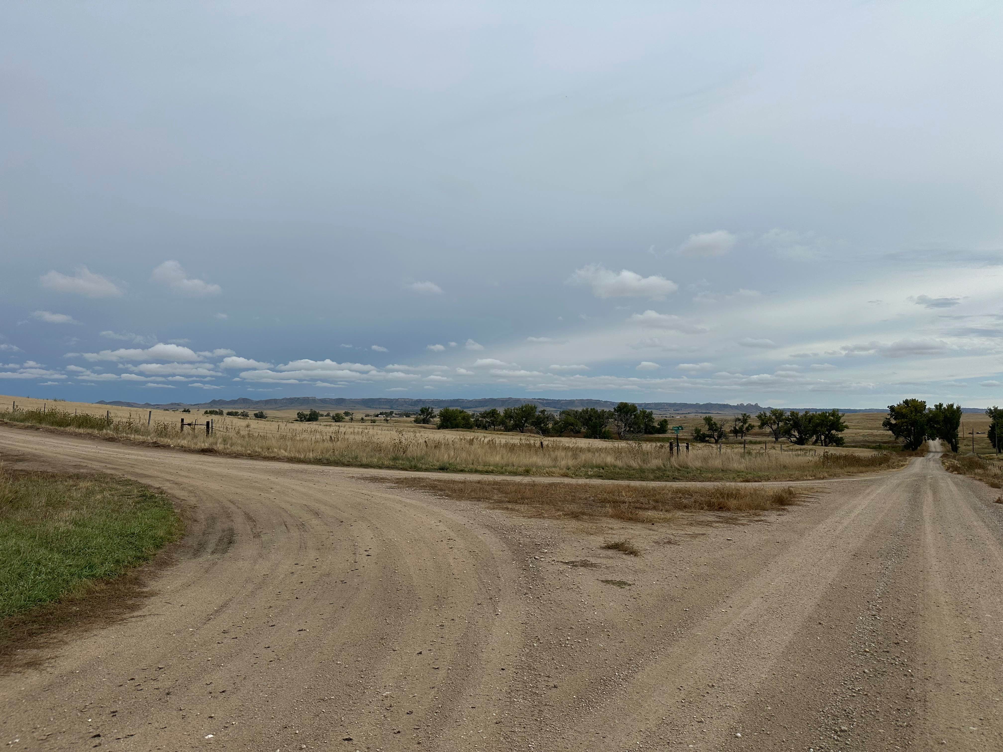
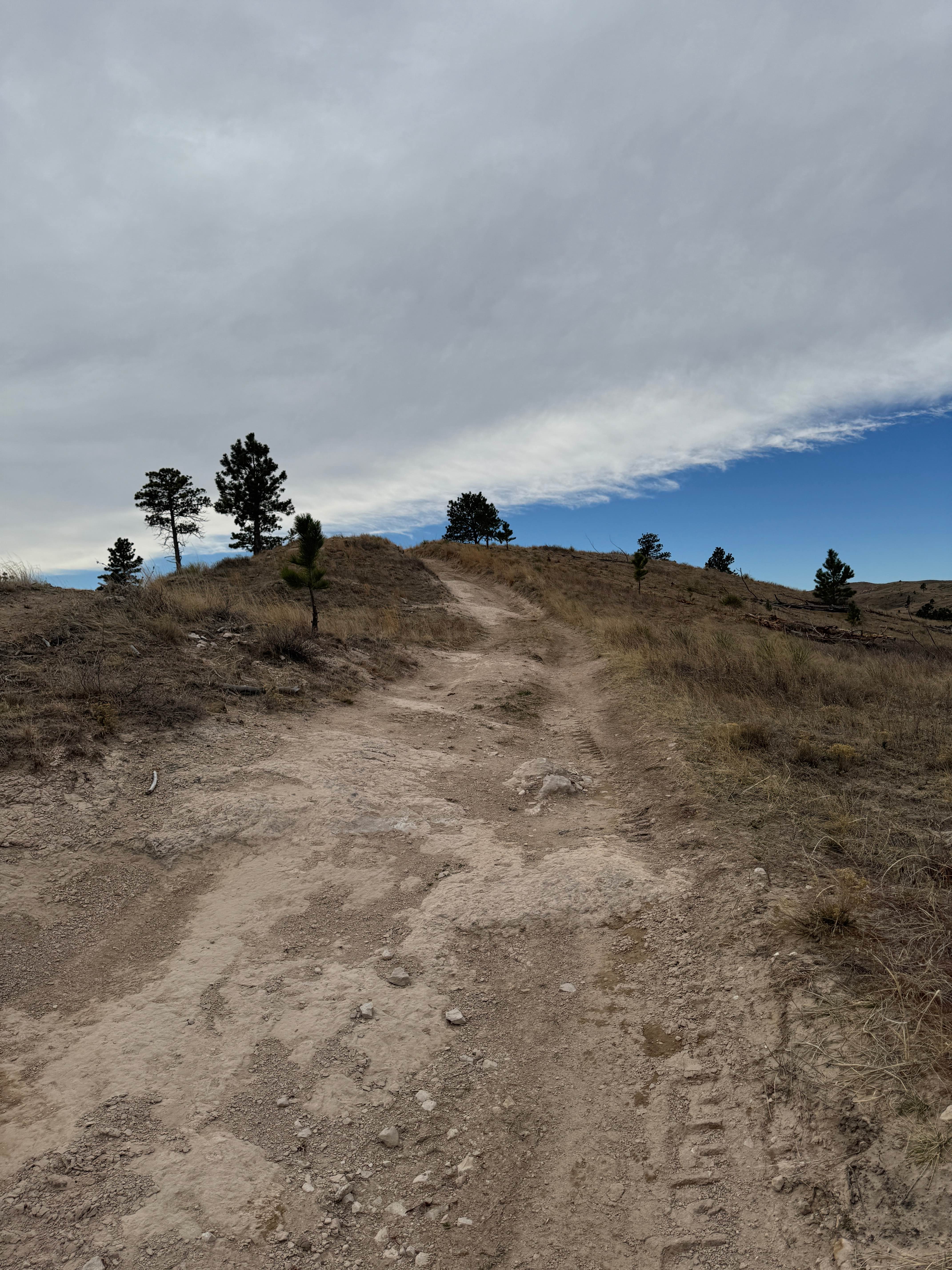
Trail Overview
Sugarloaf Road is a scenic route that runs east-west about 9 miles south of the Nebraska-South Dakota border, connecting Toadstool Road in Sioux County, Nebraska, with Nebraska Highway 71 in Dawes County, Nebraska. The road weaves its way through buttes and rolling hills blanketed with mixed-grass prairie. Pronghorn antelopes are a common sight along the trail. You will also cross several cattle guards and may share the road with livestock in places. The western third is a public road that runs on private property adjacent to the boundary of the Oglala National Grassland. That portion of the road is two-track with a dirt and gravel surface. The eastern two-thirds of the road is gravel. Several shorter spur trails extend from Sugarloaf. There are no restrooms or designated staging areas, or parking spots along the trail, but there is cell coverage.
Photos of Sugarloaf Road


Difficulty
There are no obstacles on this trail; however, seasonal weather can cause some road degradation.
Status Reports
Sugarloaf Road can be accessed by the following ride types:
- High-Clearance 4x4
- SUV
- SxS (60")
- ATV (50")
- Dirt Bike
Sugarloaf Road Map
Popular Trails
Outrider - FS 779
Stateline Road
The onX Offroad Difference
onX Offroad combines trail photos, descriptions, difficulty ratings, width restrictions, seasonality, and more in a user-friendly interface. Available on all devices, with offline access and full compatibility with CarPlay and Android Auto. Discover what you’re missing today!