Hat Creek Road
Total Miles
14.5
Technical Rating
Best Time
Summer
Trail Type
Full-Width Road
Accessible By
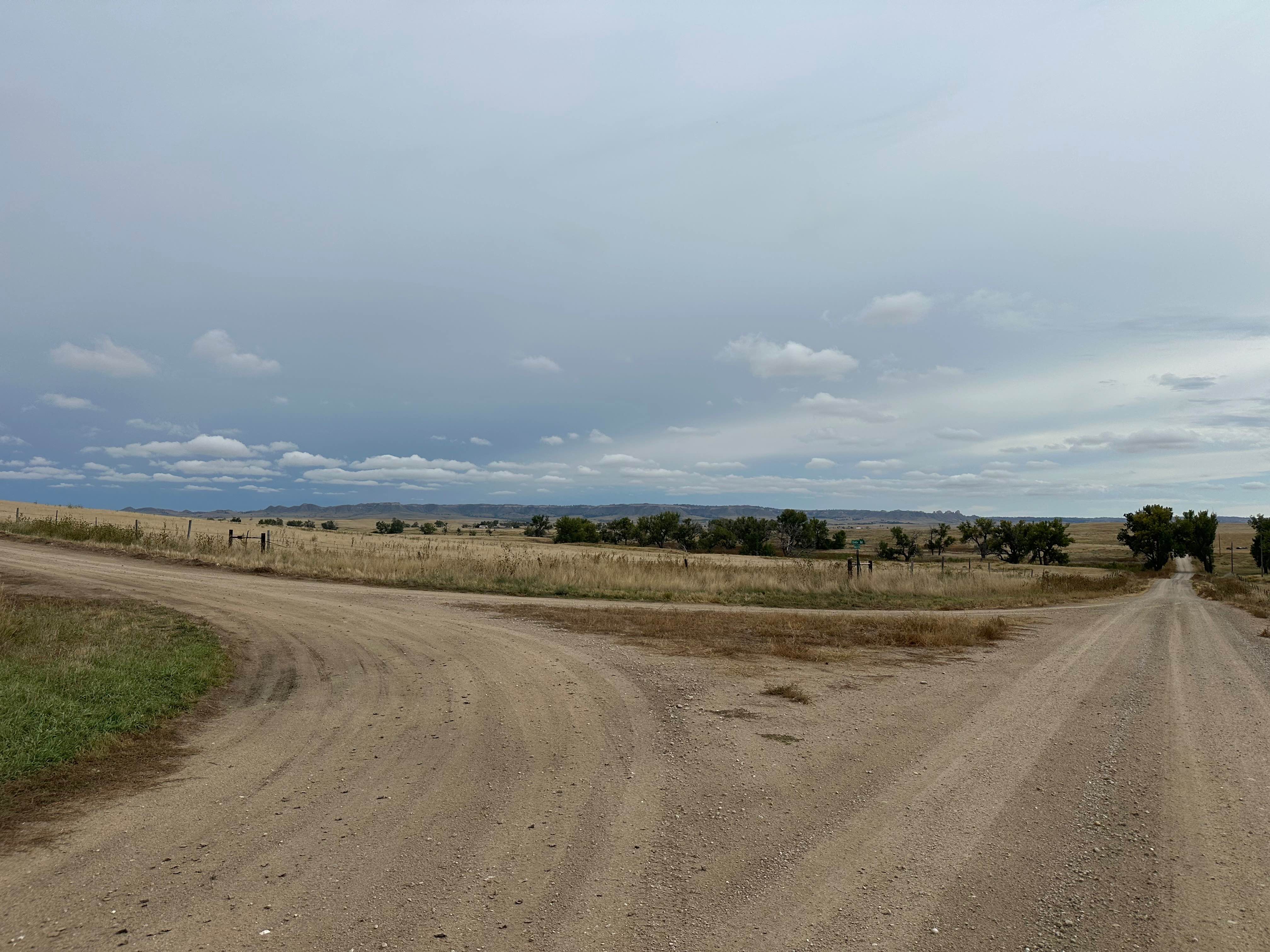
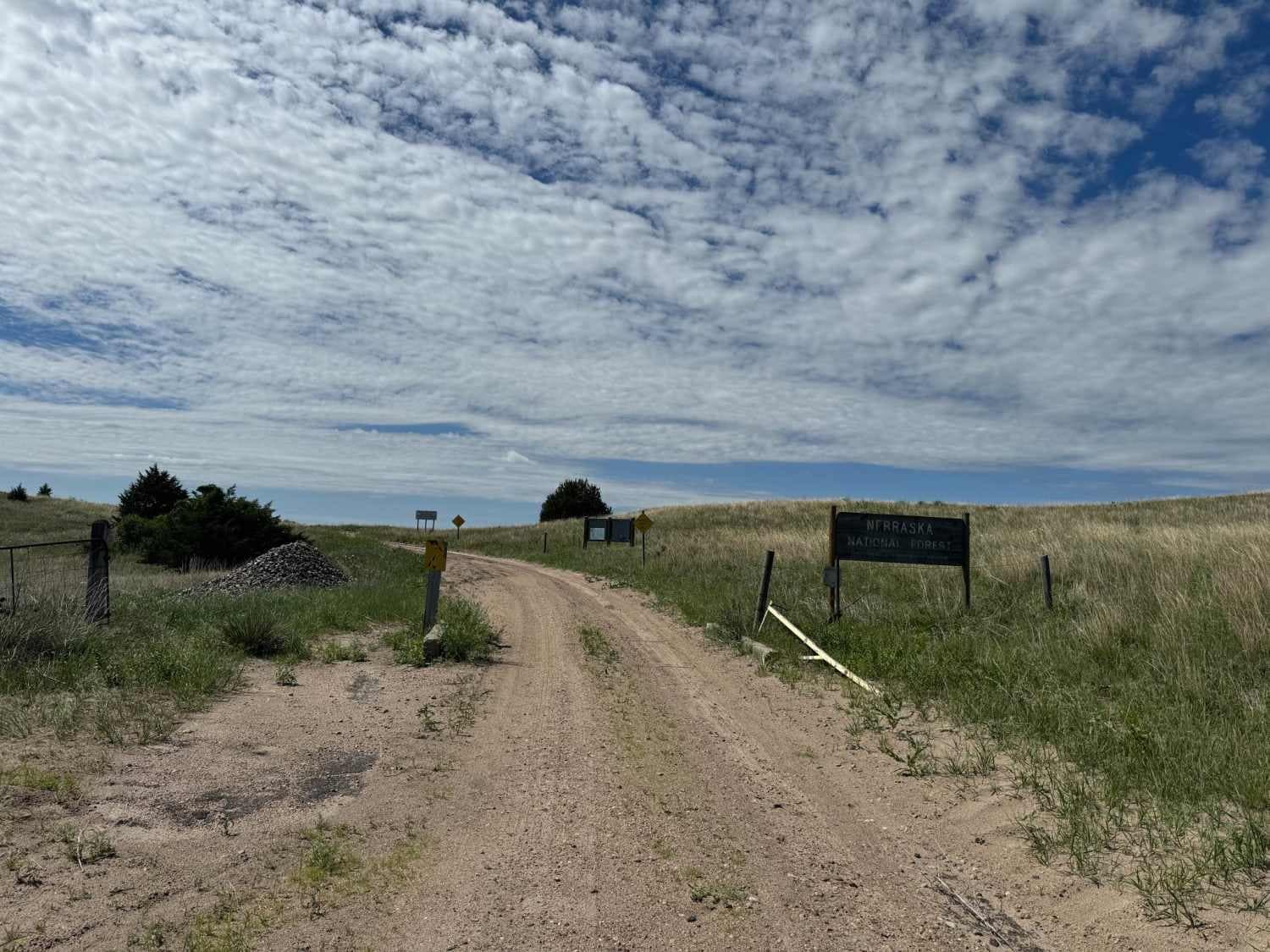
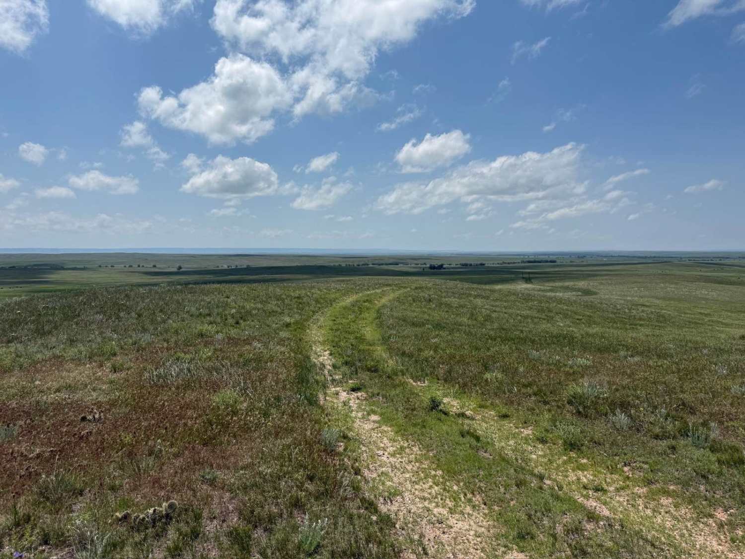
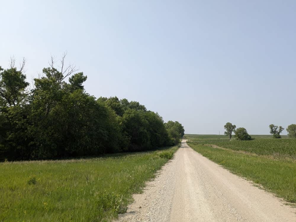
Trail Overview
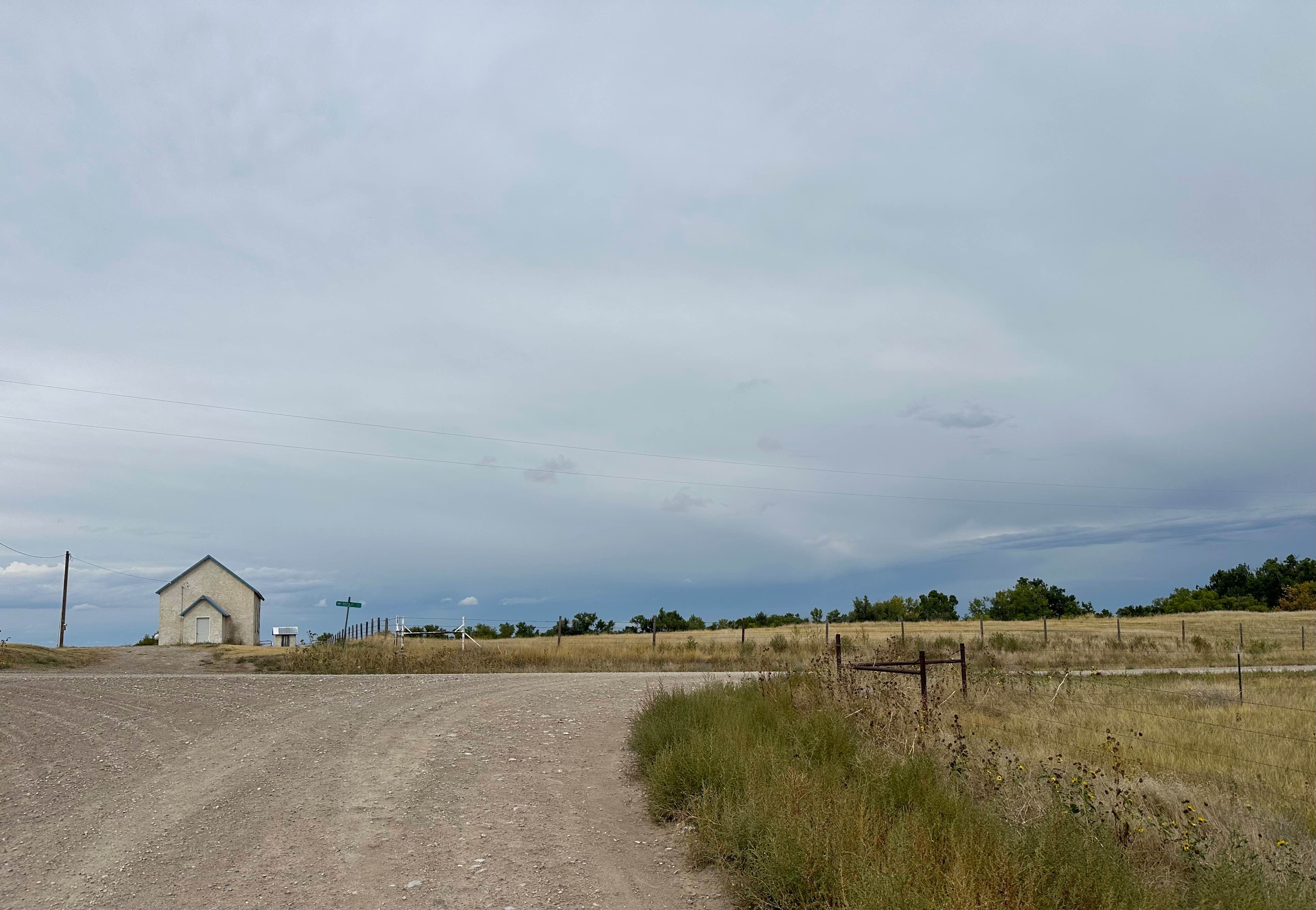
Hat Creek Road can be accessed off of West Hat Creek Road, just northeast of the town of Harrison, and runs north to Montrose Road. This is a double-wide dirt road that is maintained and graded. Sections can become muddy in wet conditions. The surrounding area consists of large ranches, and you have great views of the buttes in the area. Wildflowers can be seen throughout the area in the summer, along with plenty of wildlife, including deer and birds of prey. The road ends at the Warbonnet Battlefield Monument in Ocala National Grassland.
Photos of Hat Creek Road
Difficulty
This is a graded dirt road that can be accessed by most vehicles unless there is significant moisture on the road.
History
The road ends at the Warbonnet Battlefield Monument in Ocala National Grassland. The monument recognizes an encounter on July 17, 1876, between the 5th U.S. Cavalry and a group of Cheyenne attempting to join the victors of the Battle of the Little Bighorn. The only fatality of this skirmish was the Cheyenne warrior Yellow Hair, killed by Buffalo Bill Cody in a highly publicized duel, an event later reenacted in his Wild West show.
Status Reports
Hat Creek Road can be accessed by the following ride types:
- High-Clearance 4x4
- SUV
Hat Creek Road Map
Popular Trails
Gaston Road - NFR 259
Prairie Dog - FR 925
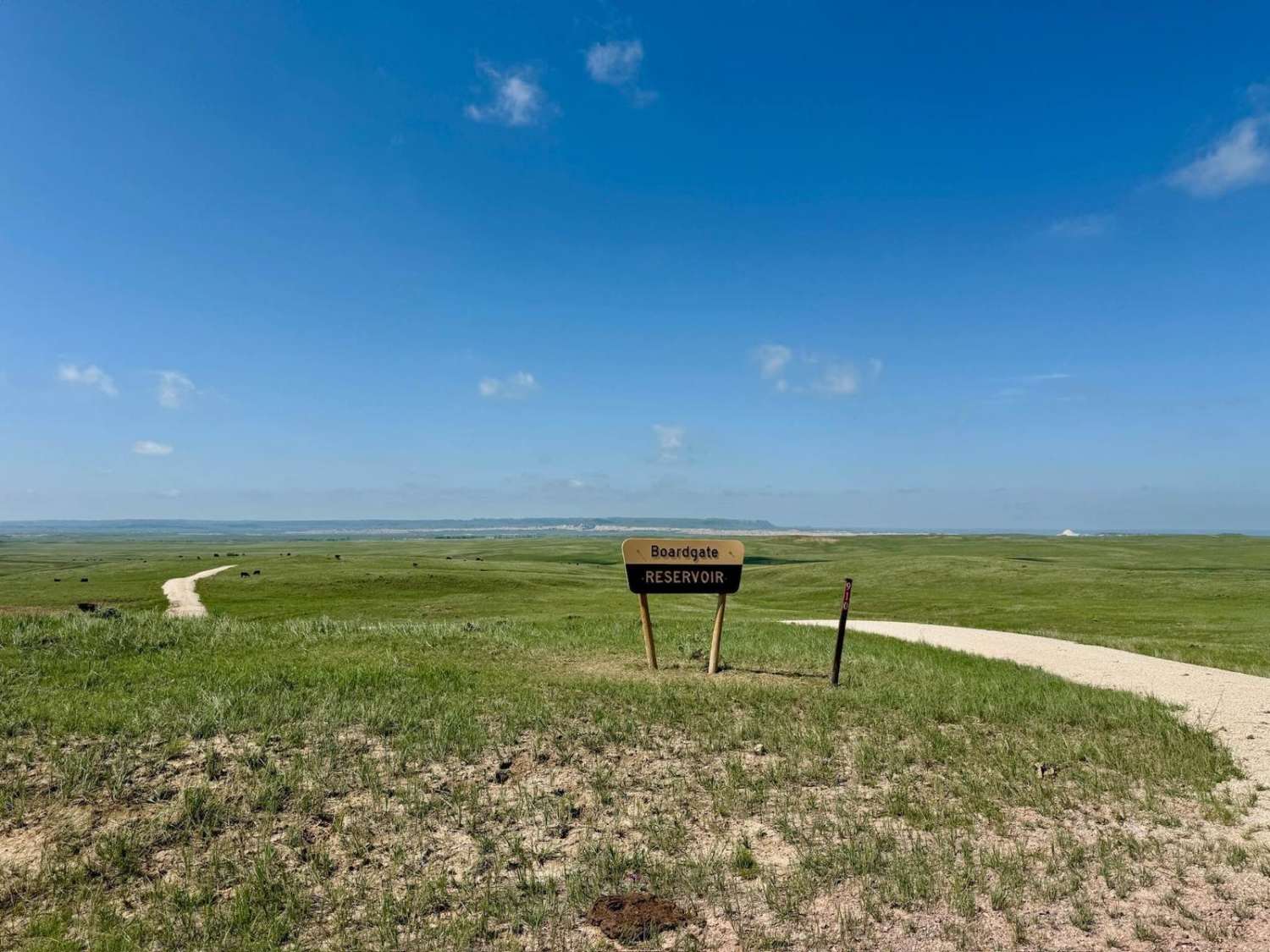
Boardgate (FR 910)
The onX Offroad Difference
onX Offroad combines trail photos, descriptions, difficulty ratings, width restrictions, seasonality, and more in a user-friendly interface. Available on all devices, with offline access and full compatibility with CarPlay and Android Auto. Discover what you’re missing today!