Stateline Road
Total Miles
8.9
Technical Rating
Best Time
Winter, Summer, Spring, Fall
Trail Type
Full-Width Road
Accessible By
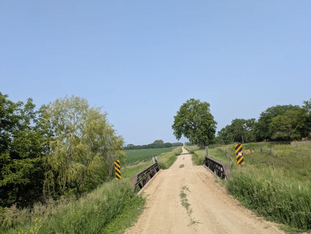
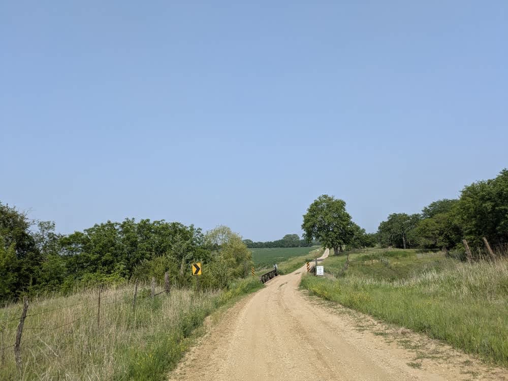
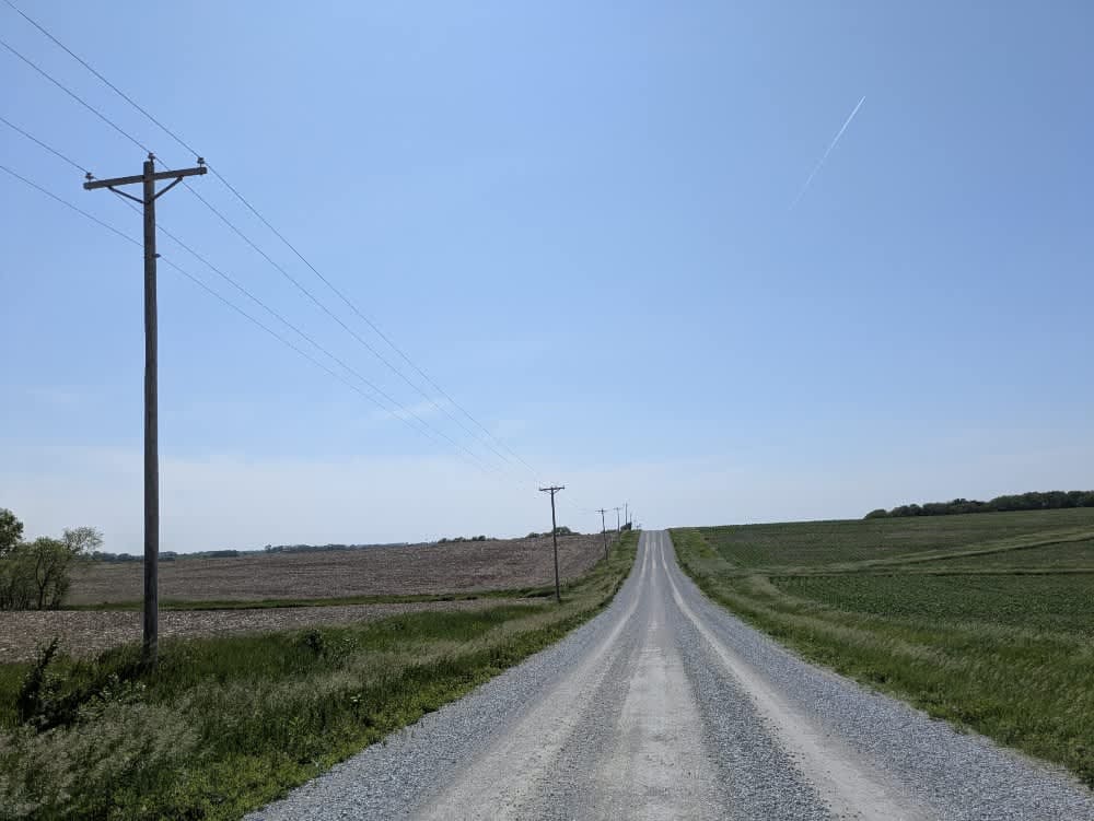
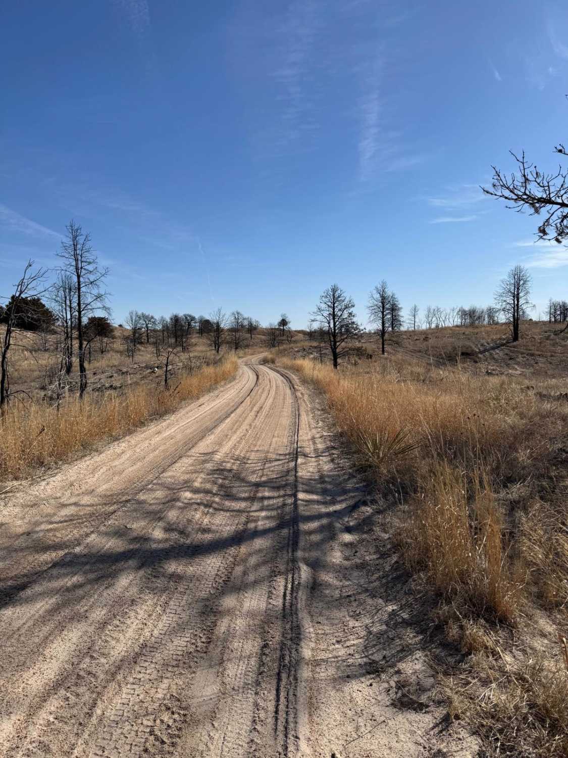
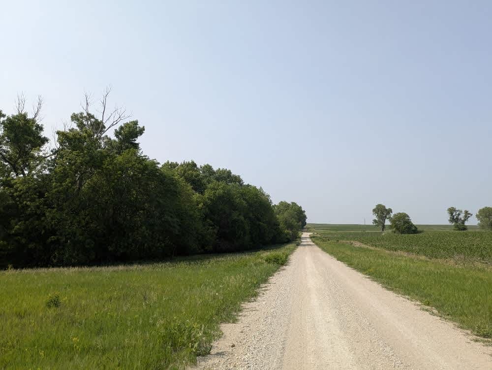
Trail Overview
The trail follows a narrow, dusty gravel surface that remains mostly straight while incorporating a few climbs and descents. Along the way, travelers cross two bridges, one rated for three tons and another for ten tons. Serving as the border road between Nebraska and Kansas, the route winds through rolling farmland. There are no formal or dispersed campsites along this stretch, and essential amenities like trash disposal or water supply are not available. Because cell service is limited, users should consult the onX app for coverage details.
Photos of Stateline Road
Difficulty
The trail is unmaintained but supports a range of local use, from daily agricultural traffic by farmers to occasional travelers and outdoor enthusiasts passing through the area.
History
The Gravel Line follows a scenic stretch of Nebraska's rural past, from Kansas to Nebraska, entirely on gravel. These quiet backroads once linked farms, rail towns, and prairie homesteads--routes shaped by everyday life on the Plains. Today, the trail invites travelers to slow down and experience the landscape much as early settlers and locals once did. It's a peaceful drive through rolling hills, open skies, and the quiet history woven into Nebraska's countryside.
Status Reports
Stateline Road can be accessed by the following ride types:
- High-Clearance 4x4
- SUV
Stateline Road Map
Popular Trails
Fletcher Avenue
Nebraska National Forest
Forest Road 203A - Circle Trail
The onX Offroad Difference
onX Offroad combines trail photos, descriptions, difficulty ratings, width restrictions, seasonality, and more in a user-friendly interface. Available on all devices, with offline access and full compatibility with CarPlay and Android Auto. Discover what you’re missing today!