South 46th
Total Miles
4.0
Technical Rating
Best Time
Summer, Fall, Winter, Spring
Trail Type
Full-Width Road
Accessible By
Trail Overview
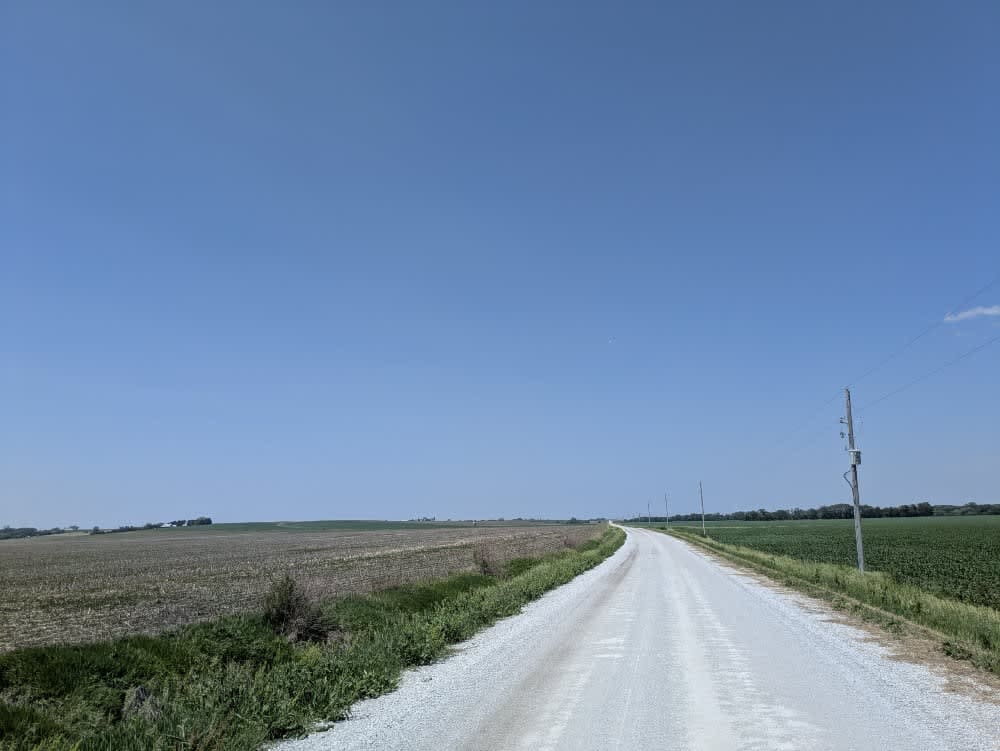
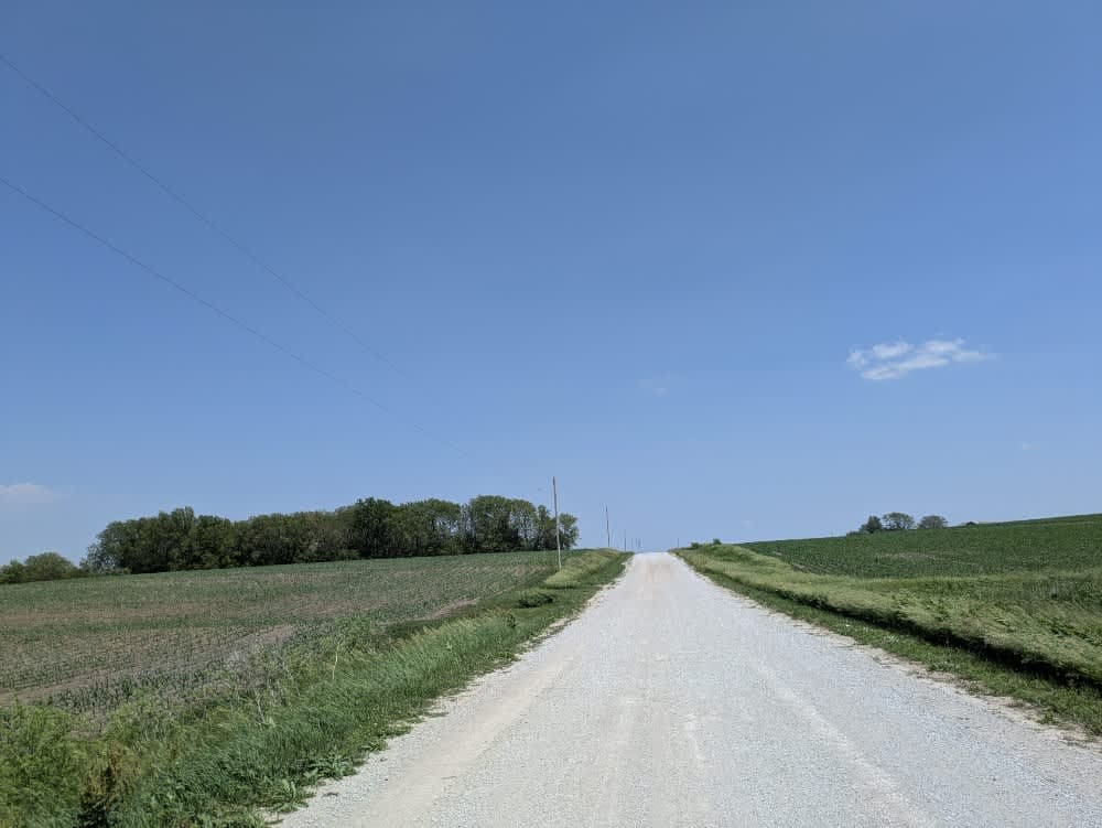
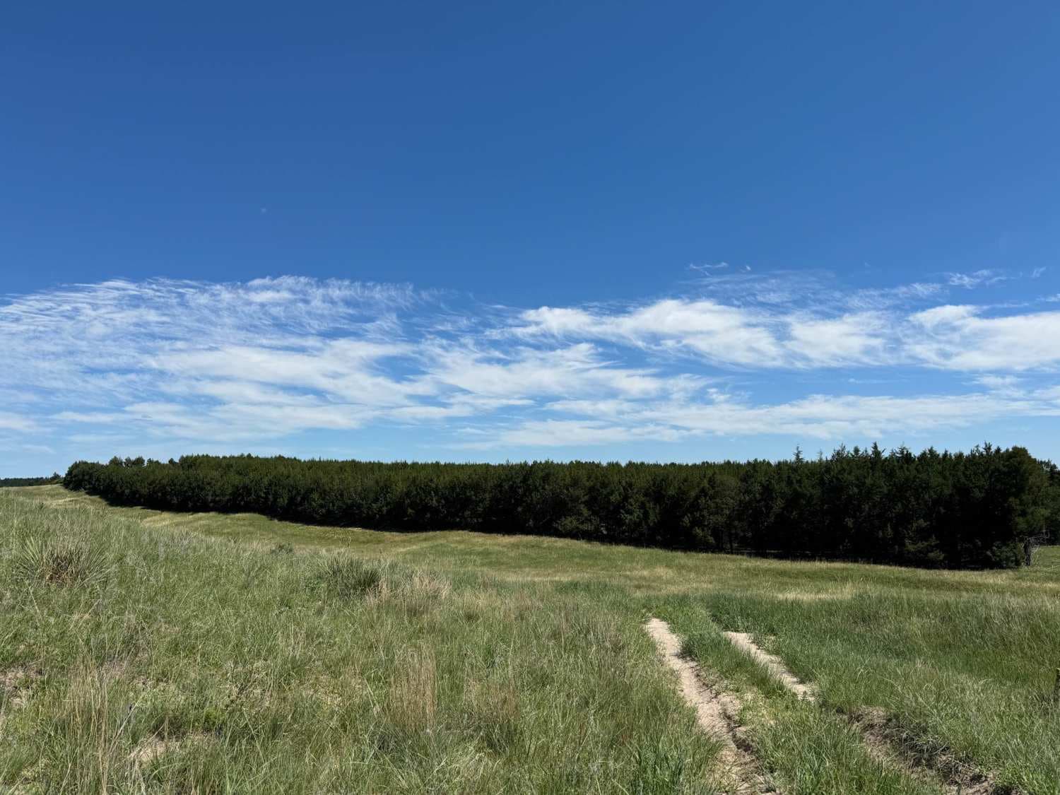
This segment runs along a broad stretch of well-graded gravel that remains mostly smooth, though light corrugations remind you it serves regular traffic. Midway, it climbs a tall, sturdy bridge spanning a muddy creek where tire tracks show some drivers opt to splash through the water instead of taking the high road. Potholes are absent, so the ride stays comfortable even at a relaxed pace. As with much of the region, there are no official or informal campsites, no bins for trash, and no reliable water sources, and cell service cuts in and out, so plan for complete self-sufficiency.
Photos of South 46th
Difficulty
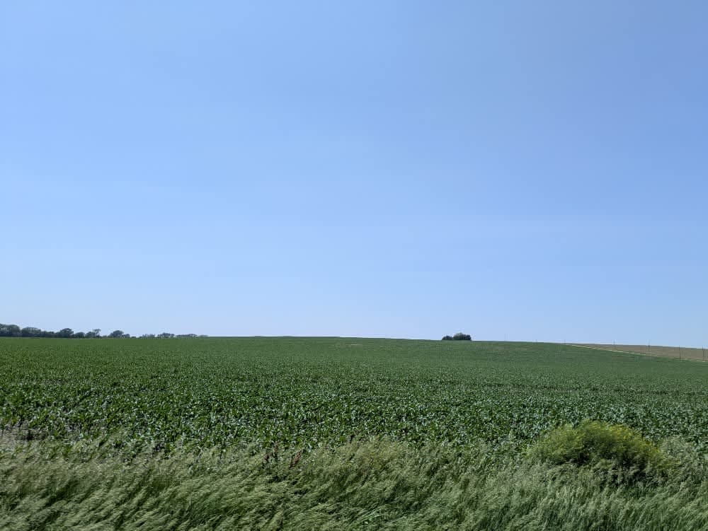
The trail is well-maintained and routinely graded to support a range of local use, from daily agricultural traffic by farmers to occasional travelers and outdoor enthusiasts passing through the area. Its good condition makes it easily accessible and reliable for all types of vehicles.
History
The Gravel Line follows a scenic stretch of Nebraska's rural past, from Kansas to Nebraska, entirely on gravel. These quiet backroads once linked farms, rail towns, and prairie homesteads--routes shaped by everyday life on the Plains. Today, the trail invites travelers to slow down and experience the landscape much as early settlers and locals once did. It's a peaceful drive through rolling hills, open skies, and the quiet history woven into Nebraska's countryside.
Status Reports
South 46th can be accessed by the following ride types:
- High-Clearance 4x4
- SUV
South 46th Map
Popular Trails

Sandhills Mills (NFR 261)
The onX Offroad Difference
onX Offroad combines trail photos, descriptions, difficulty ratings, width restrictions, seasonality, and more in a user-friendly interface. Available on all devices, with offline access and full compatibility with CarPlay and Android Auto. Discover what you’re missing today!