3 trails found in Minnesota
Which "county road s" are you looking for?
We found 3 off-road trails in Minnesota matching your search. Pick the one you're looking for below.
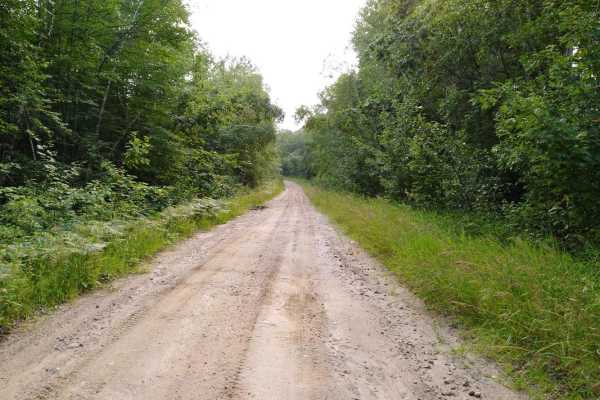
Pikus Forest Road / County Road 58
Pikus Forest Road / County Road 58 is mapped from the Moose River Connector Trail at the Aitkin / Cass County line to Cass County Road 58 near Egg Lake where the trail leaves the gravel and into the woods. This section is 5.69 miles long and takes about 15 minutes with an average speed of 21.1 MPH i...
Learn more about Pikus Forest Road / County Road 58
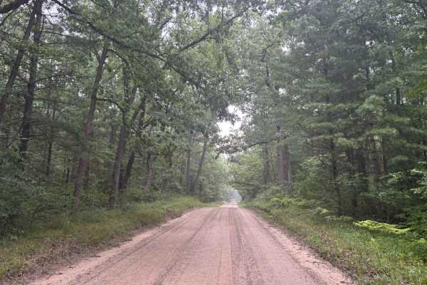
South County Line Road
South County Line Road runs from the intersection of Rybicki Road and East County Line Road to the intersections of FS M10, and North Campbell Road. South County Line Road, as the name implies, runs along the southern edge of Manistee County. The trail is a wide open gravel road that allows quick an...
Learn more about South County Line Road
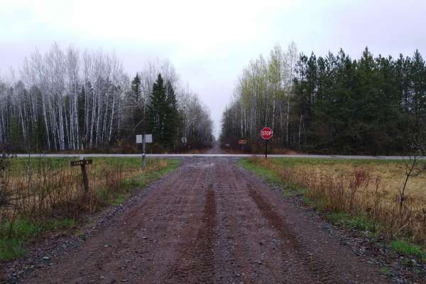
County Road 3 to Wisconsin Border
Carlton County Road 3 to the Wisconsin border on the Soo Line South is a section of converted rail grade that is 7.3 miles long and takes about 30 minutes with an average speed of 15.2 MPH. This converted rail grade is raised enough that it sheds water very well. Even on a rainy day or after several...
Learn more about County Road 3 to Wisconsin Border