Wild Bill Creek/Firewood Trail to Truman Creek
Total Miles
22.9
Technical Rating
Best Time
Spring, Summer, Fall
Trail Type
Full-Width Road
Accessible By
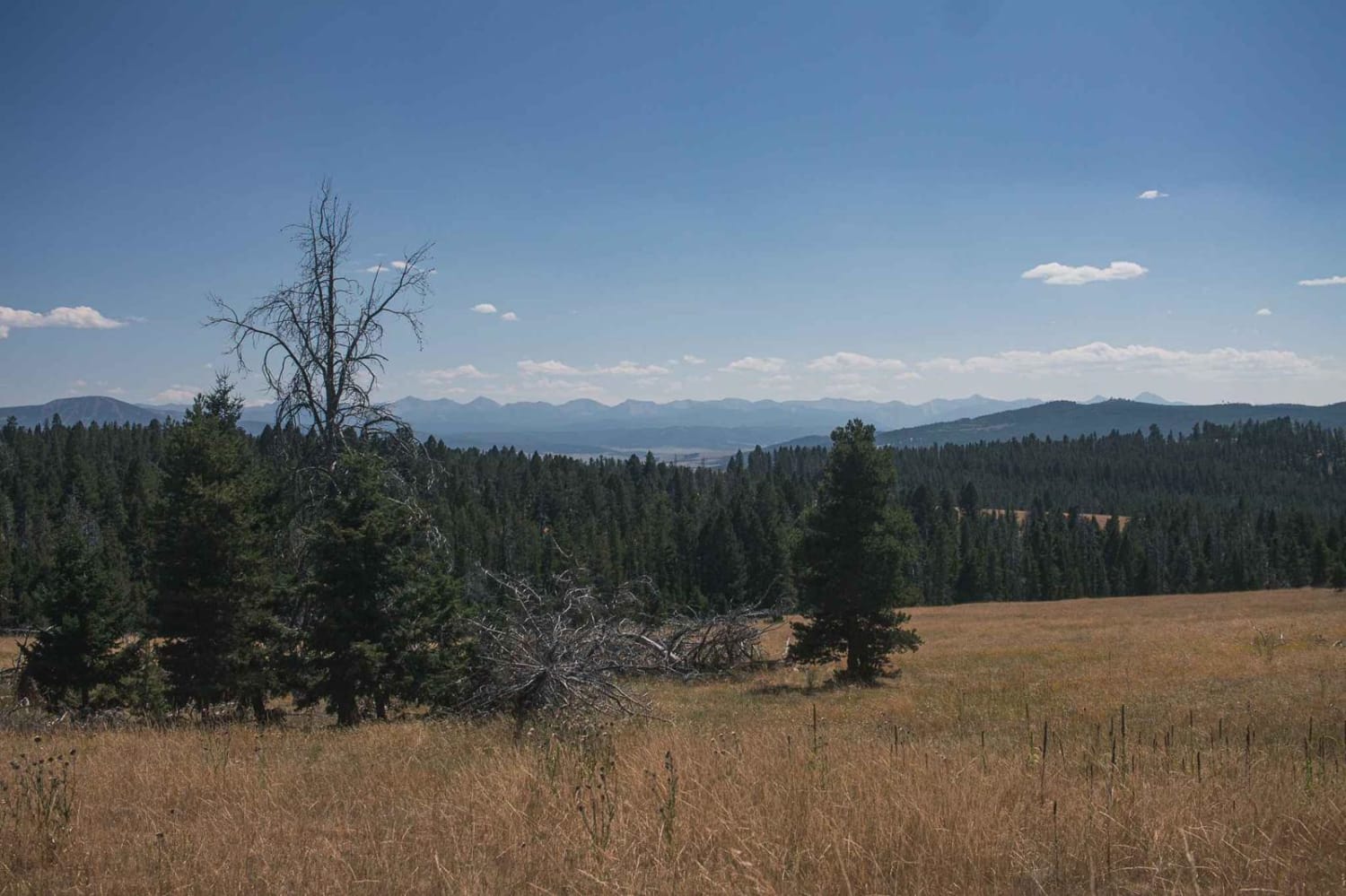
Trail Overview
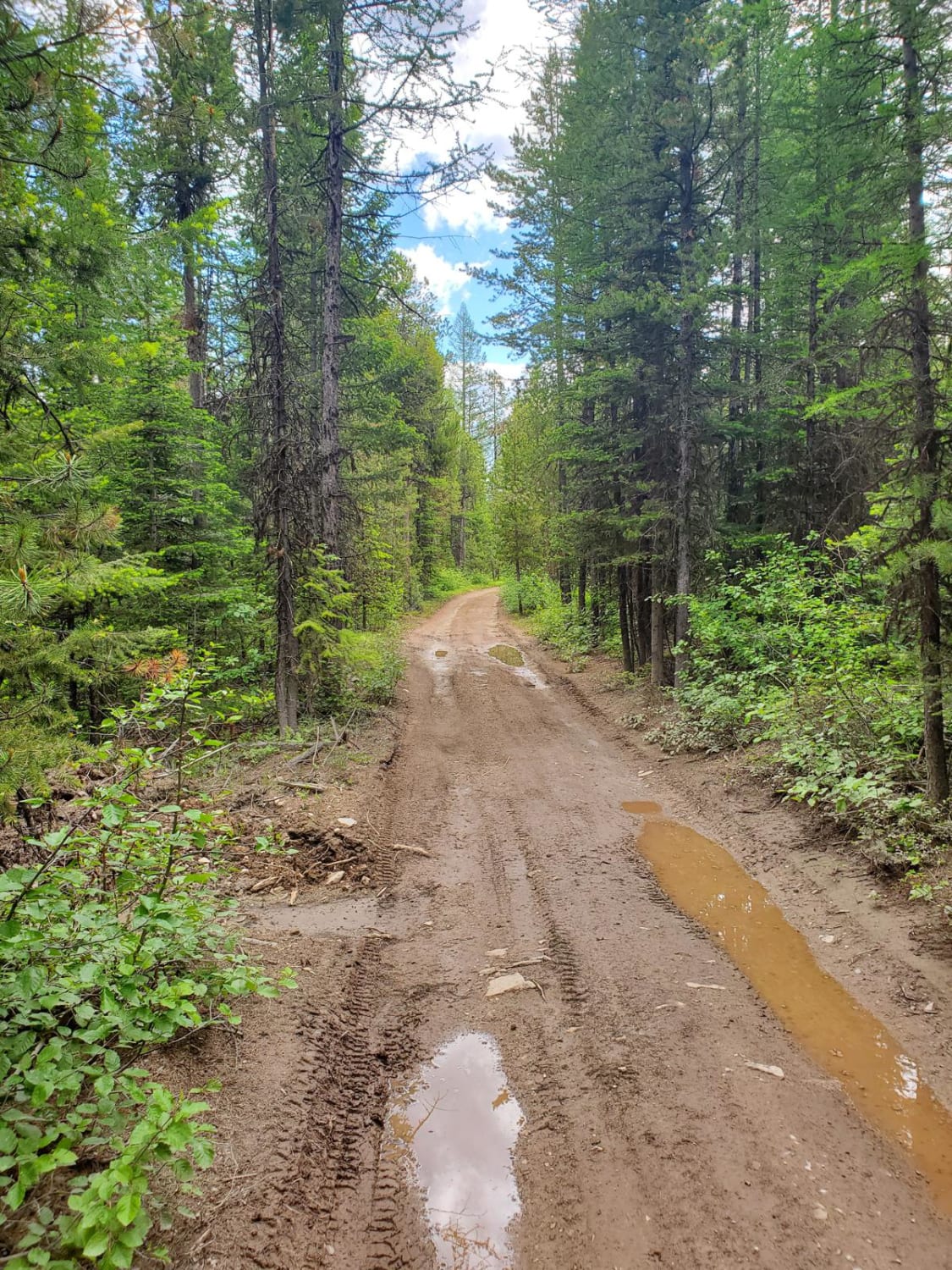
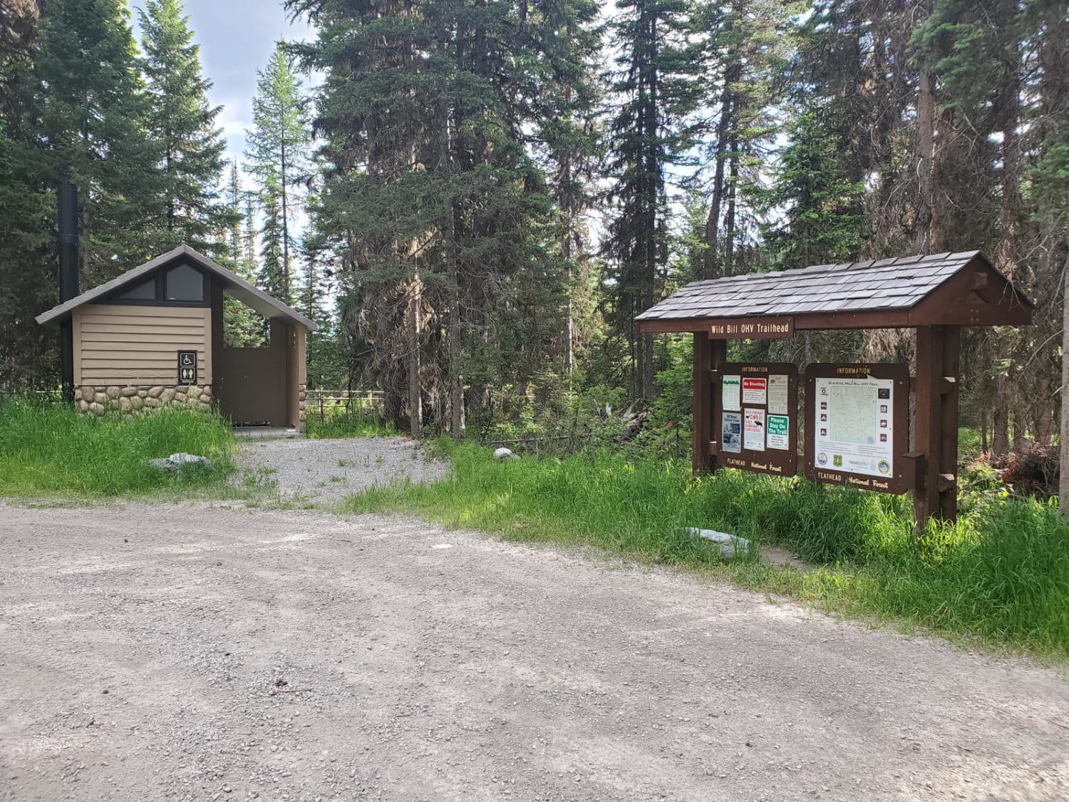
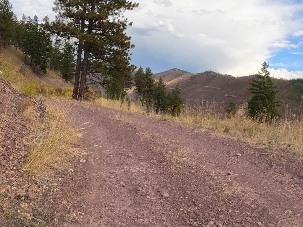
This is a really fun loop with several access points to the Wild Bill OHV Recreation Trail. The main trailhead has a bathroom and a large parking area for trailers. Access to Mudhole Junction, Packrat Junction, Eagle Junction, Upper Dayton Creek and Truman Saddle are easily accessible with most 4WD and high-clearance 2WD vehicles. Primitive camping is available near the Upper Dayton Creek trailhead. Cell service is spotty and winter accessibility is limited.
Photos of Wild Bill Creek/Firewood Trail to Truman Creek
Difficulty
Well-maintained roads with one decent hill climb from Packrat Junction to Eagle Junction.
Status Reports
Wild Bill Creek/Firewood Trail to Truman Creek can be accessed by the following ride types:
- High-Clearance 4x4
- SUV
- SxS (60")
- ATV (50")
- Dirt Bike
Wild Bill Creek/Firewood Trail to Truman Creek Map
Popular Trails
Second Creek 283 - East Fork Johnson 7882

Hidden Lake Divide #66
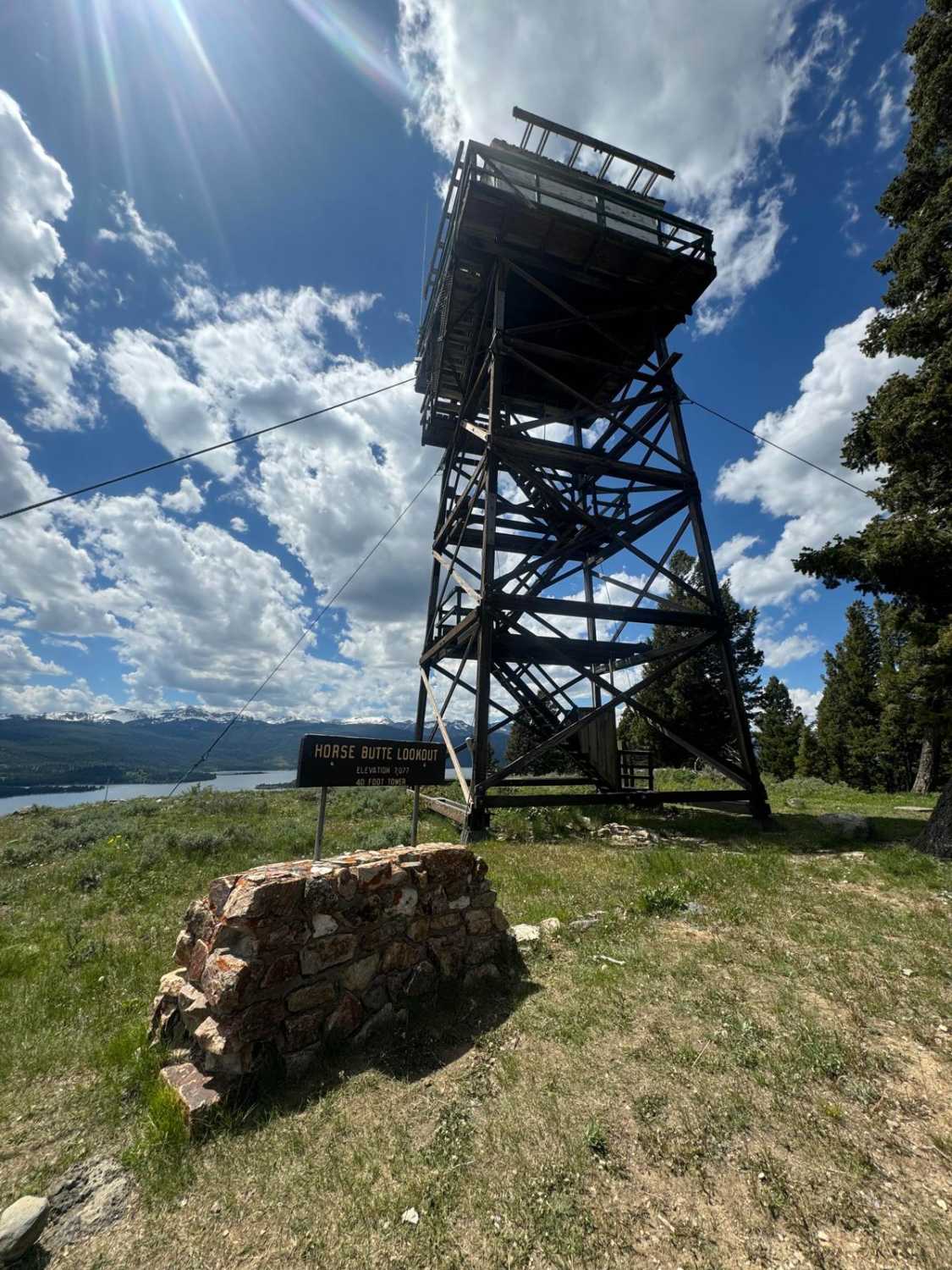
Horse Butte Fire Lookout Road
Marshall Creek
The onX Offroad Difference
onX Offroad combines trail photos, descriptions, difficulty ratings, width restrictions, seasonality, and more in a user-friendly interface. Available on all devices, with offline access and full compatibility with CarPlay and Android Auto. Discover what you’re missing today!