White Pine Ridge Route
Total Miles
11.4
Technical Rating
Best Time
Spring, Summer, Fall
Trail Type
Full-Width Road
Accessible By
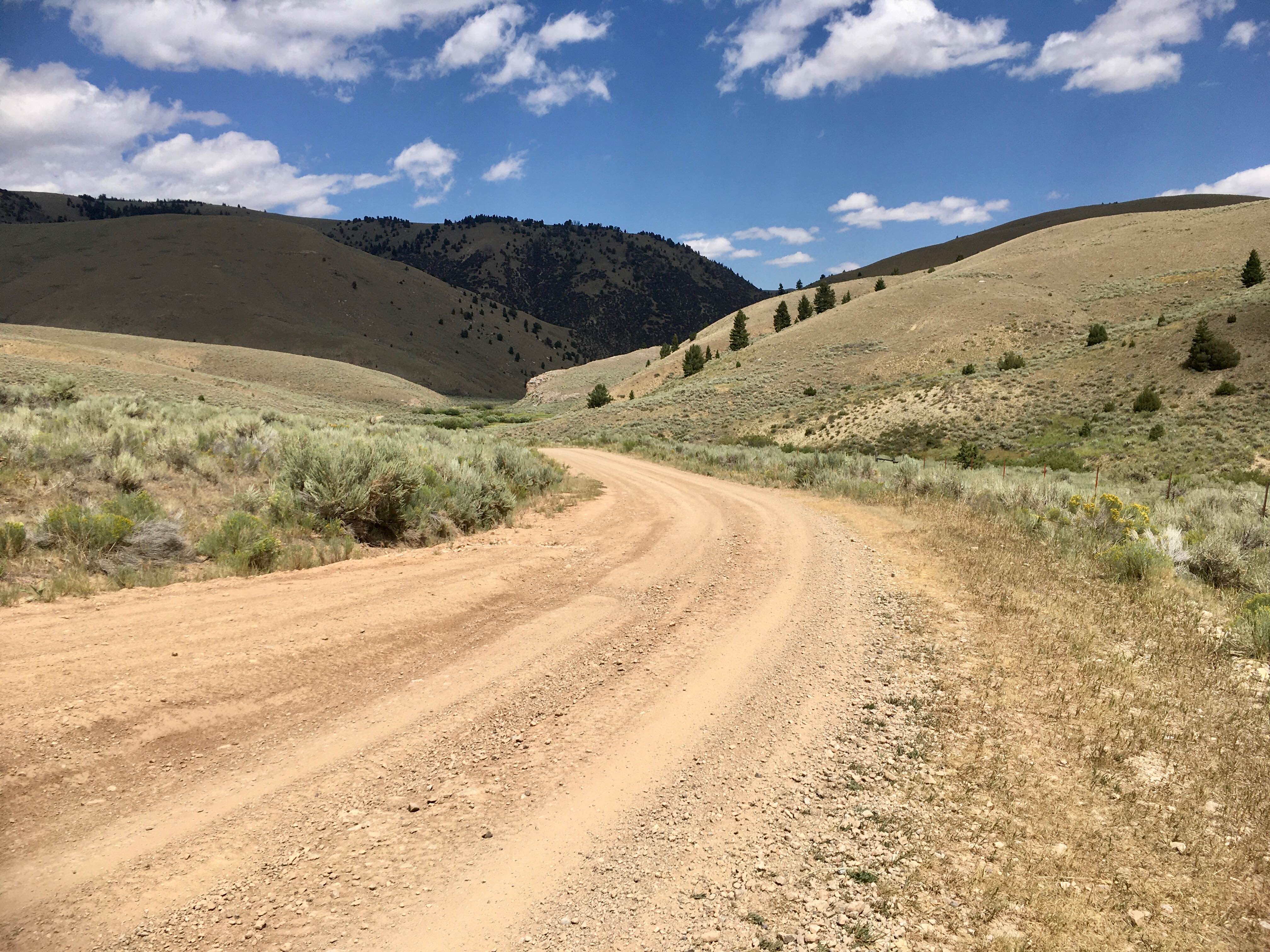
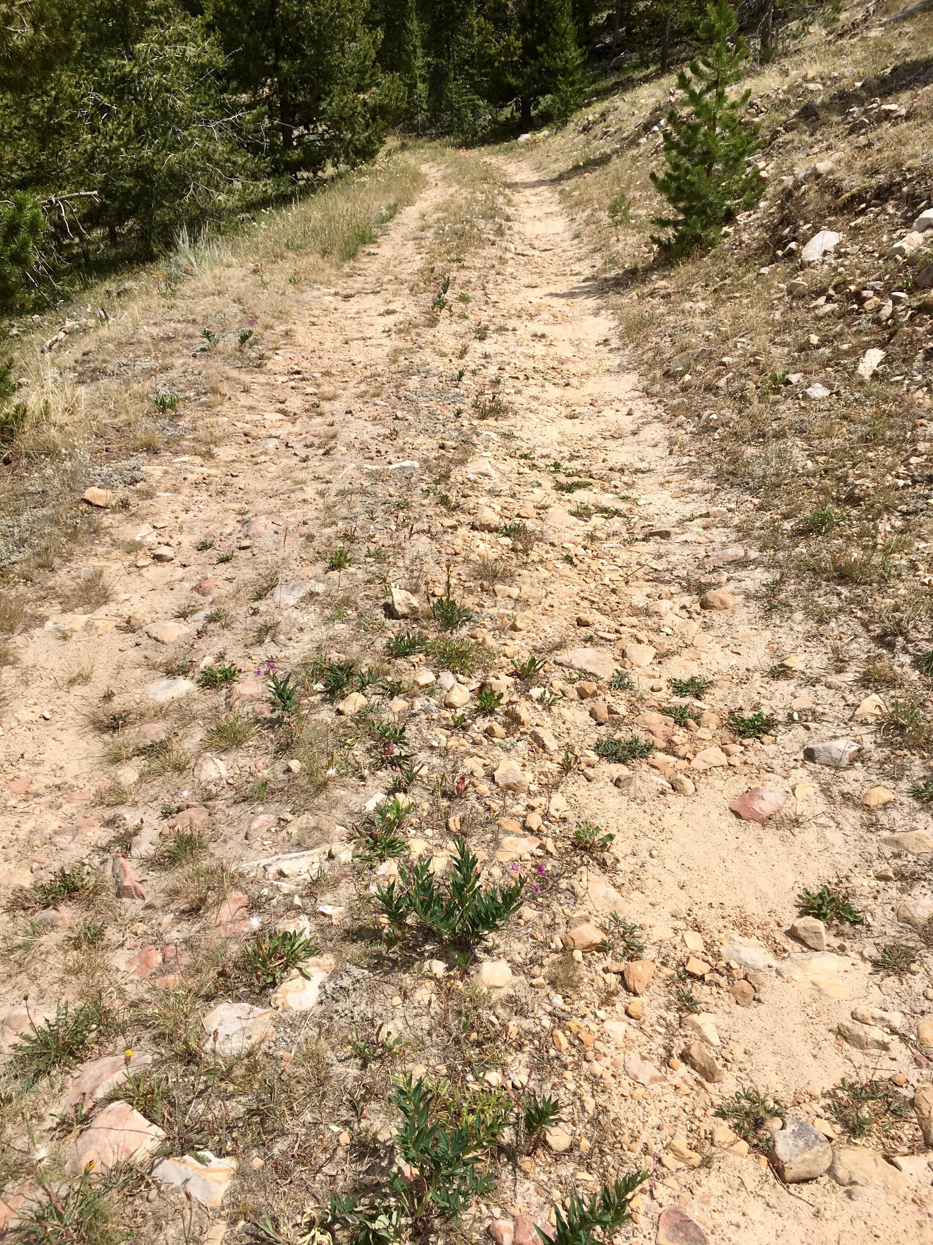
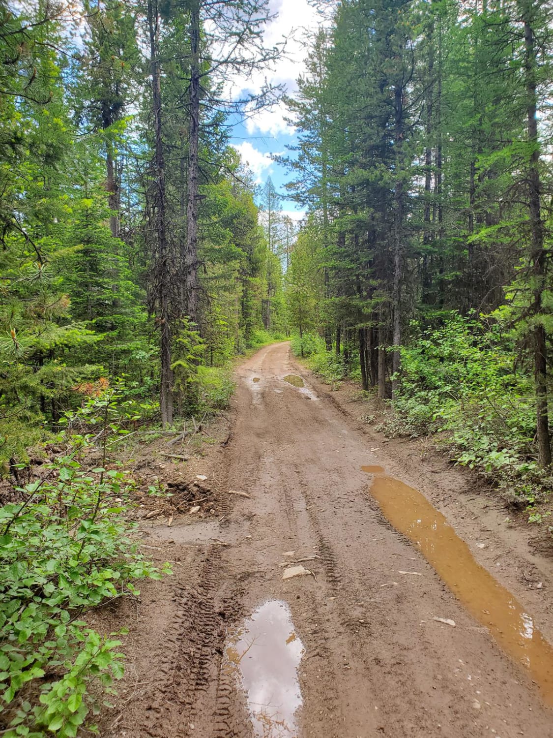
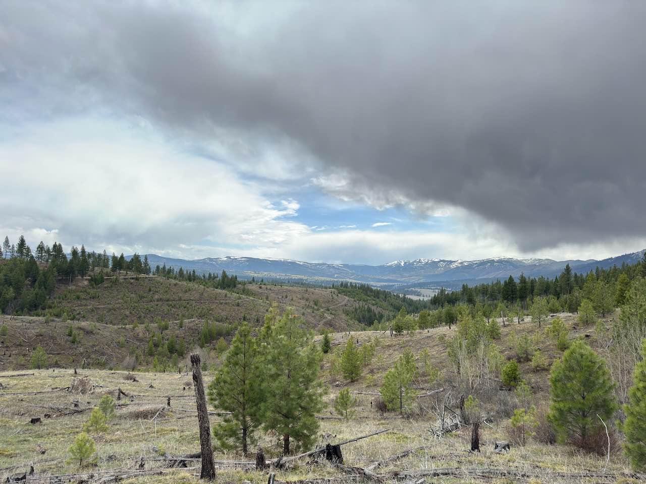
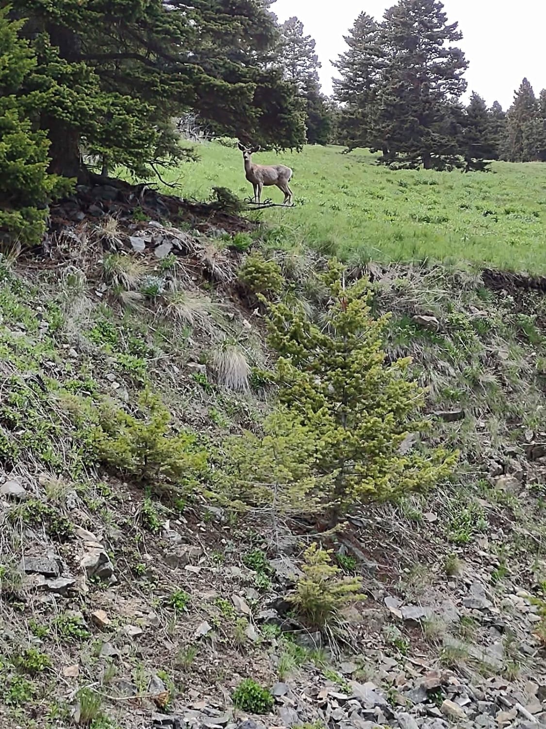
Trail Overview
This nearly 12-mile route accesses a ridgeline known as the White Pine Ridge. It is almost a continuous, but relatively gentle, climb from about 6,700 feet to just a little more than 9,000 feet. At the top, the road traverses a mixed pine forest of subalpine fir, lodgepole, and presumably white pine. The road is a wide, single-lane dirt and rock road, and passing oncoming traffic can be done almost anywhere. The road deteriorates as it gains elevation, finally becoming very rocky and rough. Up on the ridge, there are signs for snowmobile routes up high in the trees. These roads are suitable for use by any high-clearance vehicle.
Photos of White Pine Ridge Route
Difficulty
The route becomes rocky and rough in places, but it does not present any difficult obstacles.
Status Reports
White Pine Ridge Route can be accessed by the following ride types:
- High-Clearance 4x4
- SUV
- SxS (60")
- ATV (50")
- Dirt Bike
White Pine Ridge Route Map
Popular Trails
Wild Bill Creek/Firewood Trail to Truman Creek
Stevens Creek Road
Weston Creek Lower Portion
The onX Offroad Difference
onX Offroad combines trail photos, descriptions, difficulty ratings, width restrictions, seasonality, and more in a user-friendly interface. Available on all devices, with offline access and full compatibility with CarPlay and Android Auto. Discover what you’re missing today!